Loch Ghiuthsachan
Lake, Pool, Pond, Freshwater Marsh in Inverness-shire
Scotland
Loch Ghiuthsachan
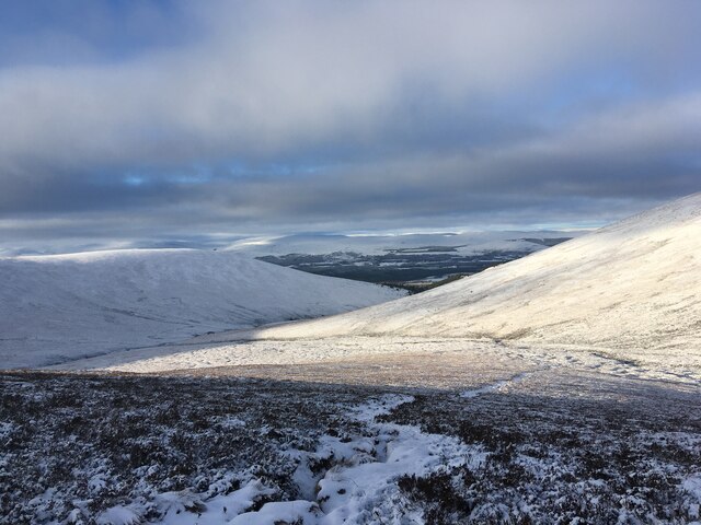
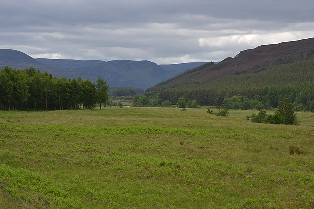
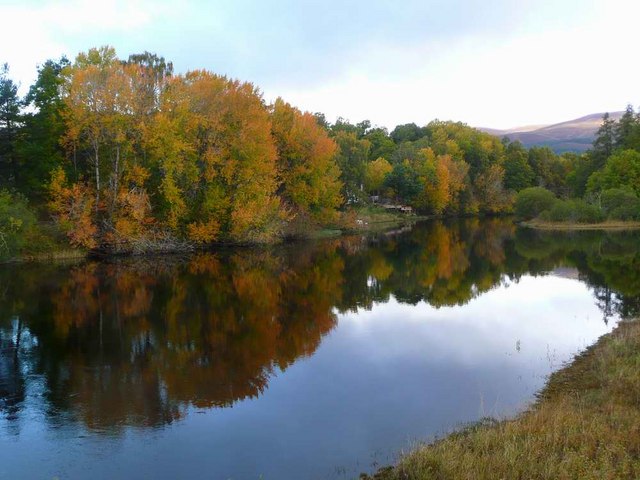
Loch Ghiuthsachan is a picturesque freshwater loch located in the heart of Inverness-shire, Scotland. Nestled amidst the stunning Highland scenery, this natural wonder is a popular destination for nature enthusiasts and those seeking tranquility.
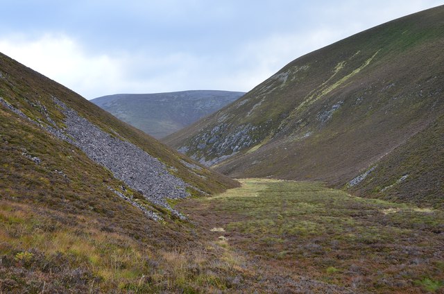
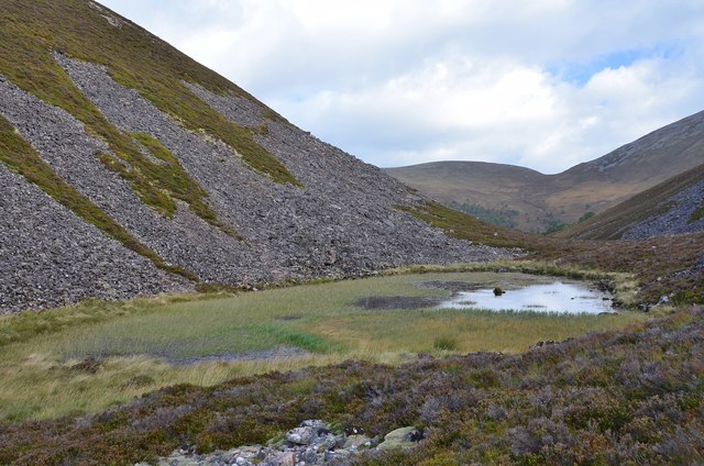
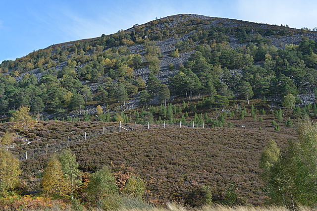
The loch spans approximately 10 acres and is characterized by its crystal-clear waters. Surrounded by lush greenery and rolling hills, it presents a breathtaking sight for visitors. Loch Ghiuthsachan is fed by several small streams and rivulets, ensuring a constant flow of freshwater throughout the year.
The loch is home to a diverse range of aquatic flora and fauna. Its shallow sections are adorned with vibrant water lilies and other aquatic plants, adding a touch of color to the surroundings. The thriving ecosystem supports a variety of fish species, including brown trout and pike, making it a haven for fishing enthusiasts.
The area surrounding Loch Ghiuthsachan offers a wealth of opportunities for outdoor activities. Visitors can enjoy a leisurely stroll along the loch's shores, immersing themselves in the tranquility of the surroundings. The loch also provides a perfect spot for picnicking, with its idyllic setting and breathtaking views.
Additionally, Loch Ghiuthsachan serves as a haven for birdwatchers, attracting a wide array of avian species. From majestic swans to elegant herons, the loch provides a habitat for various water birds, making it a paradise for bird enthusiasts and photographers.
Overall, Loch Ghiuthsachan is a natural gem that offers a captivating blend of scenic beauty and biodiversity. Its tranquil waters, diverse wildlife, and stunning surroundings make it a must-visit destination for nature lovers exploring Inverness-shire.
If you have any feedback on the listing, please let us know in the comments section below.
Loch Ghiuthsachan Images
Images are sourced within 2km of 57.074769/-3.8769485 or Grid Reference NN8699. Thanks to Geograph Open Source API. All images are credited.


Loch Ghiuthsachan is located at Grid Ref: NN8699 (Lat: 57.074769, Lng: -3.8769485)
Unitary Authority: Highland
Police Authority: Highlands and Islands
What 3 Words
///promising.acrobats.scarcely. Near Kingussie, Highland
Nearby Locations
Related Wikis
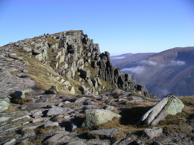
Sgòr Gaoith
Sgòr Gaoith (Scottish Gaelic: Sgòr Gaoithe, 'windy peak') is a mountain peak in the far western massif of the Cairngorms in the Scottish Highlands. It...
Insh
Insh (Scottish Gaelic: Am Baile Ùr) is a village in Highland, Scotland that lies on the east coast of the Insh Marshes. It is in the Badenoch and Strathspey...
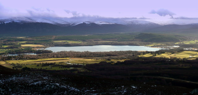
Loch Insh
Loch Insh is a loch in Highlands region, Scotland. It is situated in the heart of Badenoch and Strathspey, seven miles south of Aviemore and seven miles...

Dalnavert, Highland
Dalnavert (Scottish Gaelic Dail nam Feart) is a small rural hamlet, that lies 4 miles northeast of Insh, and 8 miles northeast of Kingussie, in the...

Dunachton
Dunachton (Scottish Gaelic: Dùn Neachdain) is an estate on the north-west shore of Loch Insh in Badenoch and Strathspey, in the Highlands of Scotland....
Kincraig railway station
Kincraig railway station served the village of Kincraig, Highland, Scotland from 1863 to 1965 on the Inverness and Perth Junction Railway. == History... ==
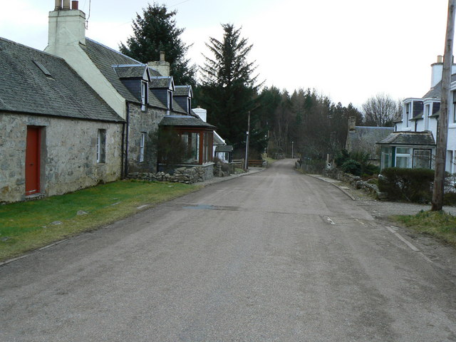
Kincraig
Kincraig (Scottish Gaelic: Ceann na Creige) is a village located north of Kingussie and south of Aviemore in Highland, Scotland. Its original name was...

River Feshie
The River Feshie (Scottish Gaelic: Fèisidh / Abhainn Fhèisidh) is a major right bank tributary of the River Spey in north-east Scotland. It rises in the...
Nearby Amenities
Located within 500m of 57.074769,-3.8769485Have you been to Loch Ghiuthsachan?
Leave your review of Loch Ghiuthsachan below (or comments, questions and feedback).