Gorse Covert
Settlement in Lancashire
England
Gorse Covert
Gorse Covert is a residential area located in Warrington, Cheshire, in the county of Lancashire, England. It is situated approximately 14 miles east of the city of Liverpool and about 20 miles west of Manchester. The area is part of the borough of Warrington and falls under the Warrington South parliamentary constituency.
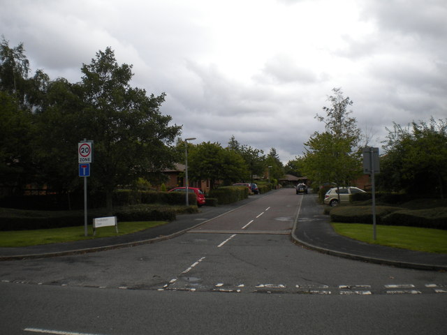
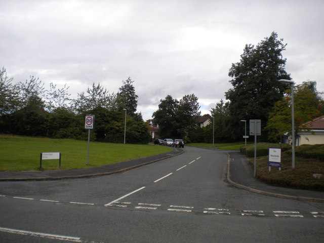
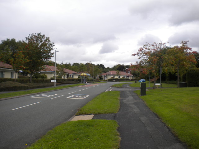
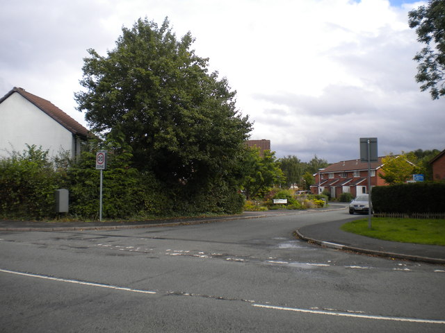
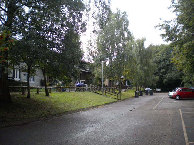
Gorse Covert is predominantly a residential suburb, offering a mix of housing options such as detached and semi-detached houses, terraced houses, and apartments. The area is known for its family-friendly environment and is popular with both young professionals and families looking for a quiet and convenient place to live.
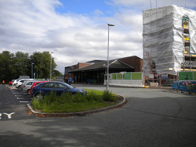
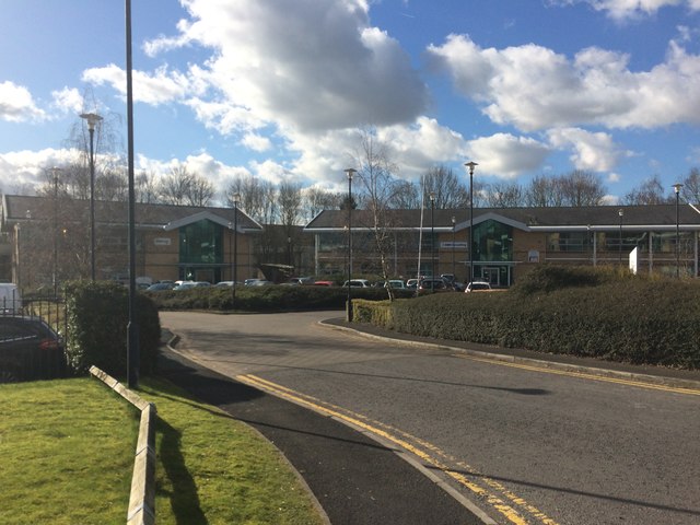
There are several amenities and facilities available in and around Gorse Covert, including local shops, supermarkets, schools, and healthcare services. The neighboring areas provide additional options for shopping and entertainment, with larger retail parks and leisure facilities within a short drive.
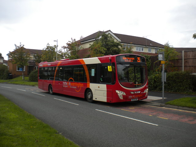
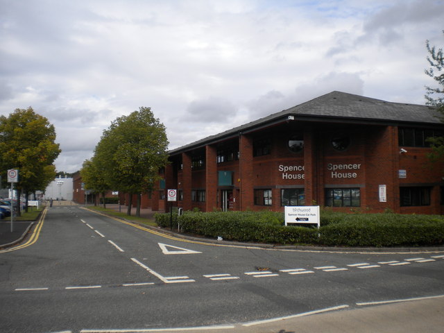
The area benefits from excellent transport links, with easy access to major road networks such as the M6 and M62 motorways, making it convenient for commuters traveling to nearby cities. The closest railway station is Birchwood, which provides regular services to Manchester, Liverpool, and other major towns in the region.
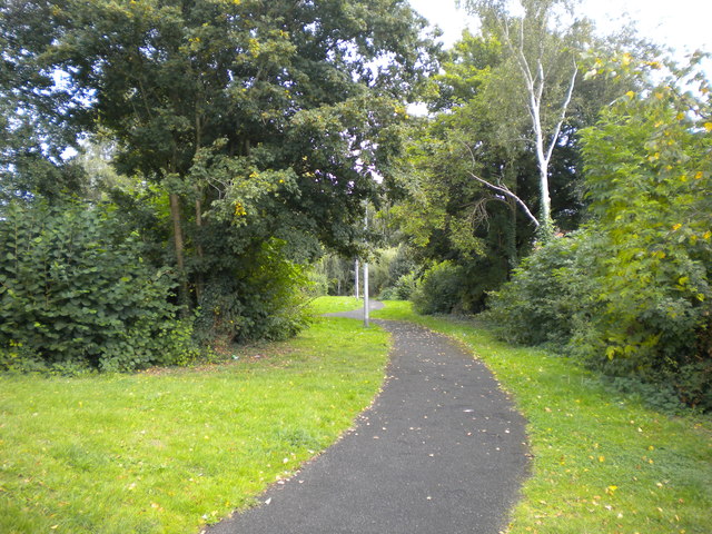
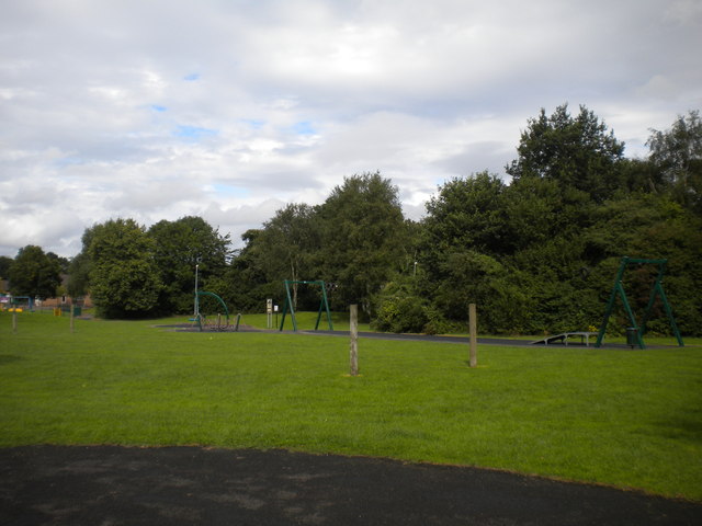
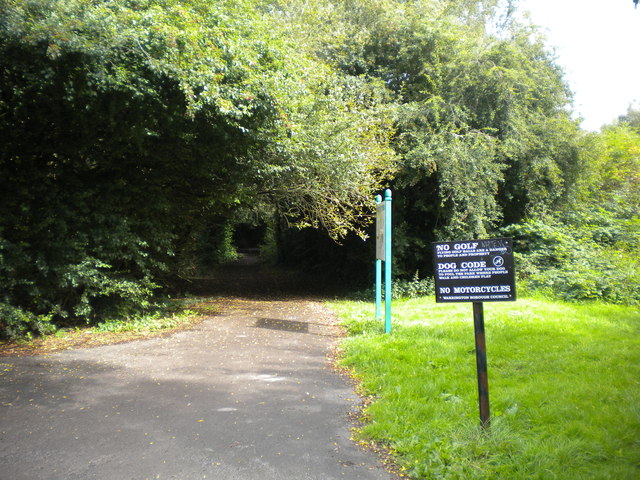
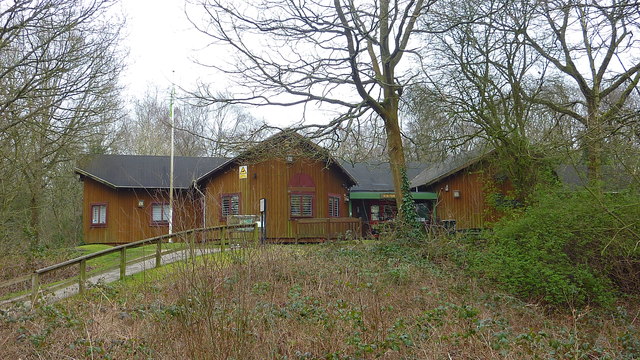
Gorse Covert is also known for its green spaces and parks, providing residents with opportunities for outdoor activities and leisurely walks. The nearby Risley Moss Nature Reserve offers a tranquil escape from the urban environment, with its diverse wildlife and picturesque landscapes.
Overall, Gorse Covert offers a peaceful and well-connected residential area with a range of amenities, making it an attractive place to live in Lancashire.
If you have any feedback on the listing, please let us know in the comments section below.
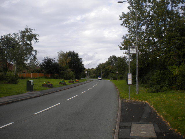
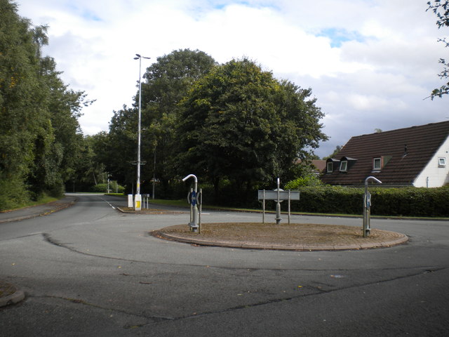
Gorse Covert Images
Images are sourced within 2km of 53.427396/-2.508499 or Grid Reference SJ6692. Thanks to Geograph Open Source API. All images are credited.


Gorse Covert is located at Grid Ref: SJ6692 (Lat: 53.427396, Lng: -2.508499)
Unitary Authority: Warrington
Police Authority: Cheshire
What 3 Words
///escorting.parkway.blissful. Near Culcheth, Cheshire
Nearby Locations
Related Wikis
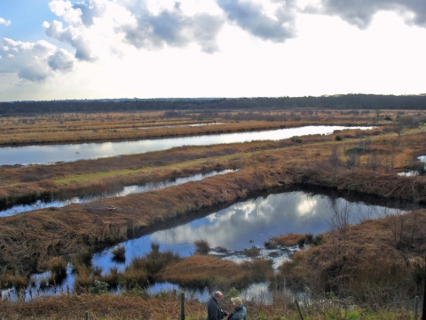
Risley Moss
Risley Moss is an area of peat bog situated near Birchwood in Warrington, England. It is a country park, Site of Special Scientific Interest and a Local...

Risley, Warrington
Risley is a district in the northeast corner of Warrington, in the Warrington district, in the ceremonial county of Cheshire, England. Within the boundaries...
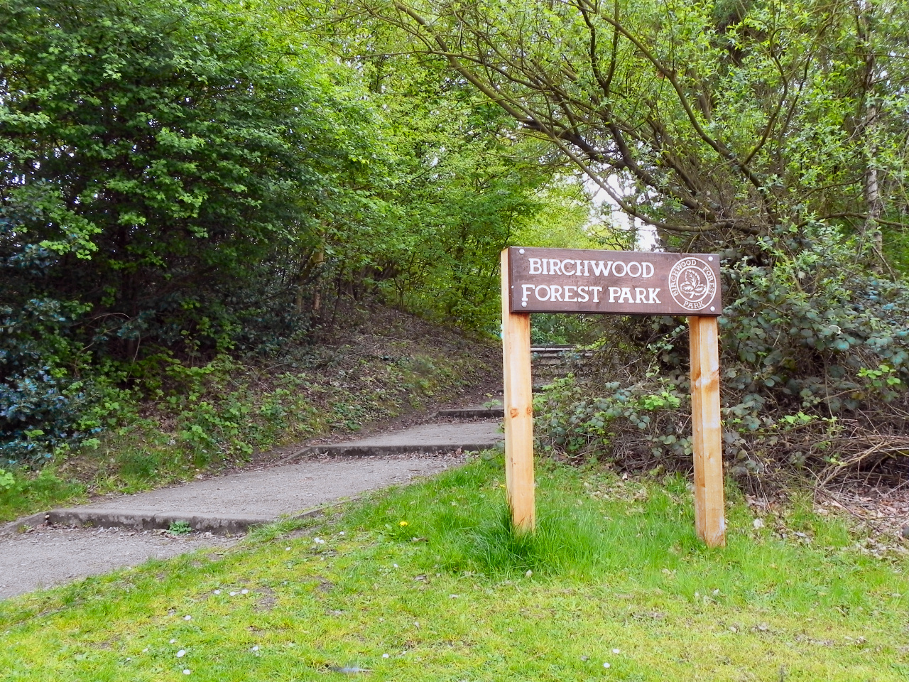
Birchwood Forest Park
Birchwood Forest Park covers the area formerly occupied by the Royal Ordnance Factory, ROF Risley, in Birchwood, Warrington, in north-west England. The...
Universities Research Reactor
Universities Research Reactor, also known as Universities' Research Reactor or University Research Reactor, was a small Argonaut class nuclear research...
Nearby Amenities
Located within 500m of 53.427396,-2.508499Have you been to Gorse Covert?
Leave your review of Gorse Covert below (or comments, questions and feedback).