Loch Bhac

Lake, Pool, Pond, Freshwater Marsh in Perthshire

Scotland

Loch Bhac

Field below Balnabodach
Field below Balnabodach Credit: Alpin Stewart

The requested URL returned error: 429 Too Many Requests

If you have any feedback on the listing, please let us know in the comments section below.
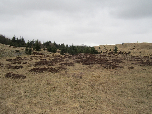
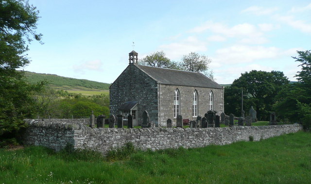
Loch Bhac Images

Images are sourced within 2km of 56.737015/-3.9267792 or Grid Reference NN8262. Thanks to Geograph Open Source API. All images are credited.

Field below Balnabodach
Limestone grassland, Allean Forest Cleared of trees.
Limestone grassland, Allean Forest
Cleared of trees.
Na Clachan Aoraidh Stone circle in Allean Forest - easily accessed by a grassy path from the nearby forest road.
Na Clachan Aoraidh
Stone circle in Allean Forest - easily accessed by a grassy path from the nearby forest road.
Cleared area, Allean Forest
Path, Carn na Craoibhe A ride in the previous generation of conifers that grew here.
Path, Carn na Craoibhe
A ride in the previous generation of conifers that grew here.
Carraig Beag Mullach
Farm cottage below homestead In the early 1990s this farmstead was for sale, along with three other properties which were little more than a pile of stones for prices ranging from £20,000+ to £50,000+
Farm cottage below homestead
In the early 1990s this farmstead was for sale, along with three other properties which were little more than a pile of stones for prices ranging from £20,000+ to £50,000+
Farm cottages near homestead These are two of the other stone built cottages advertised along with <a href="https://www.geograph.org.uk/photo/3374689">NN8160 : Farm cottage below homestead</a> for sale in the 1990s
Farm cottages near homestead
These are two of the other stone built cottages advertised along with NN8160 : Farm cottage below homestead for sale in the 1990s
Na Clachan Aoraidh Stone circle on a ridge in Allean Forest. The surrounding limestone area has been clear felled and not replanted, although self seeding trees are colonising it.
There are four stones here.
Na Clachan Aoraidh
Stone circle on a ridge in Allean Forest. The surrounding limestone area has been clear felled and not replanted, although self seeding trees are colonising it. There are four stones here.
Meall nan Clachan Grassland restored from forestry by the Clach an Aoraidh stone circle. The underlying rock here is limestone.
Meall nan Clachan
Grassland restored from forestry by the Clach an Aoraidh stone circle. The underlying rock here is limestone.
Boggy hollow A wetland hollow on the ridge at the top of Allean Forest. The ridge has been cleared of trees as much of it is exposed limestone and of wildlife interest.
Boggy hollow
A wetland hollow on the ridge at the top of Allean Forest. The ridge has been cleared of trees as much of it is exposed limestone and of wildlife interest.
Lochan na Leathain Lochan in Allean Forest which is turning to marsh and will eventually look a bit like this: <a href="https://www.geograph.org.uk/photo/3451452">NN8462 : Boggy hollow</a>.
Lochan na Leathain
Lochan in Allean Forest which is turning to marsh and will eventually look a bit like this: NN8462 : Boggy hollow.
Moorland edge Wet and rough moorland against the edge of Allean Forest. The younger trees are a recent plantation, younger than most of the woodland.
Moorland edge
Wet and rough moorland against the edge of Allean Forest. The younger trees are a recent plantation, younger than most of the woodland.
Timberjack I don't know when I first became aware of no longer hearing chainsaws in forests but now trees are felled by one of these machines. It was parked up for the weekend.
Timberjack
I don't know when I first became aware of no longer hearing chainsaws in forests but now trees are felled by one of these machines. It was parked up for the weekend.
Forest edge The corner in the dyke is the boundary of the Forestry Commission woodland. The former moorland inside the angle has also been planted with conifers.
Forest edge
The corner in the dyke is the boundary of the Forestry Commission woodland. The former moorland inside the angle has also been planted with conifers.
Logging road, Allean Forest Near the Loch Bhac fishermans car park.
Logging road, Allean Forest
Near the Loch Bhac fishermans car park.
Loch Bhac car park Car park for fishermen on Loch Bhac. The loch is controlled by Pitlochry Angling Club.
Loch Bhac car park
Car park for fishermen on Loch Bhac. The loch is controlled by Pitlochry Angling Club.
Allt a' Choire Bhuidhe A ford on the track into Loch Bhac.
Allt a' Choire Bhuidhe
A ford on the track into Loch Bhac.
Show me another place!

Loch Bhac is located at Grid Ref: NN8262 (Lat: 56.737015, Lng: -3.9267792)

Unitary Authority: Perth and Kinross

Police Authority: Tayside

What 3 Words

///export.stables.amphibian. Near Blair Atholl, Perth & Kinross

Nearby Locations

Loch Bhac

Related Wikis

Loch Bhac

Loch Bhac (Bhaic or Vach) is a fine freshwater trout loch, located in the west part of the Allean Forest, and east part of Tay Forest park, and slightly...

Tummel hydro-electric power scheme

The Tummel hydro-electric power scheme is an interconnected network of dams, power stations, aqueducts and electric power transmission in the Grampian...

Loch Tummel

Loch Tummel (Scottish Gaelic: Loch Teimheil) is a long, narrow loch, seven kilometres (4+1⁄2 miles) northwest of Pitlochry in the council area of Perth...

Struan, Perthshire

Struan is a small village in Perthshire in Scotland. The name derives from sruthan, the Gaelic for 'Little Stream'. It is 8 km west of Blair Atholl.It...

Nearby Amenities

Located within 500m of 56.737015,-3.9267792
Ford: yes
Lat/Long: 56.7387549/-3.9295627
Ford: yes
Lat/Long: 56.7376035/-3.9306546
The data included in this document is from www.openstreetmap.org. The data is made available under ODbL.

Have you been to Loch Bhac?

Leave your review of Loch Bhac below (or comments, questions and feedback).