Loch Mòr
Lake, Pool, Pond, Freshwater Marsh in Sutherland
Scotland
Loch Mòr

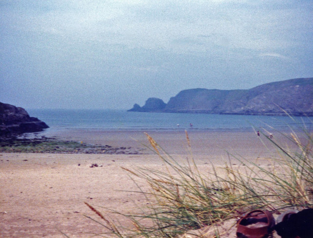
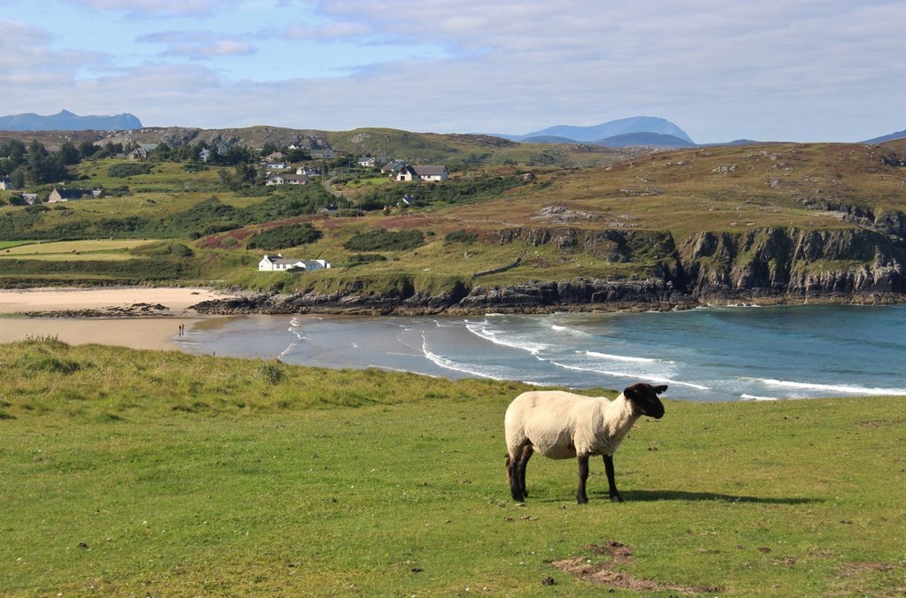
Loch Mòr is a notable freshwater loch located in the region of Sutherland, in the Scottish Highlands. The loch is situated amidst picturesque surroundings, nestled between rolling hills and rugged landscapes. This natural water body covers an area of approximately 150 acres, making it one of the larger lochs in the region.
The water in Loch Mòr is crystal clear and pristine, providing a suitable habitat for various aquatic organisms. The loch is home to an array of freshwater fish species, including brown trout and salmon, making it a popular spot among anglers. The diverse ecosystem also supports a variety of bird species, such as swans, ducks, and herons, which can often be sighted along the shoreline.
Surrounding the loch, there are patches of freshwater marshes and reed beds that add to the overall charm and biodiversity of the area. These marshes provide important breeding grounds for amphibians and insects, creating a rich and dynamic ecosystem.
The tranquil ambiance of Loch Mòr makes it an ideal destination for outdoor enthusiasts and nature lovers. Visitors can enjoy a range of activities, including fishing, birdwatching, and leisurely walks along the loch's perimeter. The scenic beauty of the area also makes it a popular spot for photography and painting enthusiasts.
Overall, Loch Mòr in Sutherland offers a unique blend of natural beauty, wildlife diversity, and recreational opportunities, making it a must-visit destination for those seeking a peaceful and enriching experience in the Scottish Highlands.
If you have any feedback on the listing, please let us know in the comments section below.
Loch Mòr Images
Images are sourced within 2km of 58.516796/-4.1990328 or Grid Reference NC7260. Thanks to Geograph Open Source API. All images are credited.


Loch Mòr is located at Grid Ref: NC7260 (Lat: 58.516796, Lng: -4.1990328)
Unitary Authority: Highland
Police Authority: Highlands and Islands
What 3 Words
///toddler.bluff.highlighted. Near Forsinard, Highland
Nearby Locations
Related Wikis

Invernaver
Invernaver (Gaelic: Inbhir Nabhair) is a small, remote hamlet, situated on the west bank of the River Naver as it flows into Torrisdale Bay, in Sutherland...

Strathnaver Museum
Strathnaver Museum is located in Bettyhill, Sutherland, Scotland. It is a fully accredited volunteer-run independent museum which first opened in 1976...
Crask
Crask is a small remote hamlet, situated on Farr Bay in the Scottish Highlands, on the shore of northern Sutherland in the Scottish council area of Highland...

Bettyhill
Bettyhill (Scottish Gaelic: Am Blàran Odhar) is a village in the parish of Farr, on the north coast of Scotland.Bettyhill lies on the A836 road 32 miles...
Have you been to Loch Mòr?
Leave your review of Loch Mòr below (or comments, questions and feedback).