Earlsburn Reservoir Number 2
Lake, Pool, Pond, Freshwater Marsh in Stirlingshire
Scotland
Earlsburn Reservoir Number 2

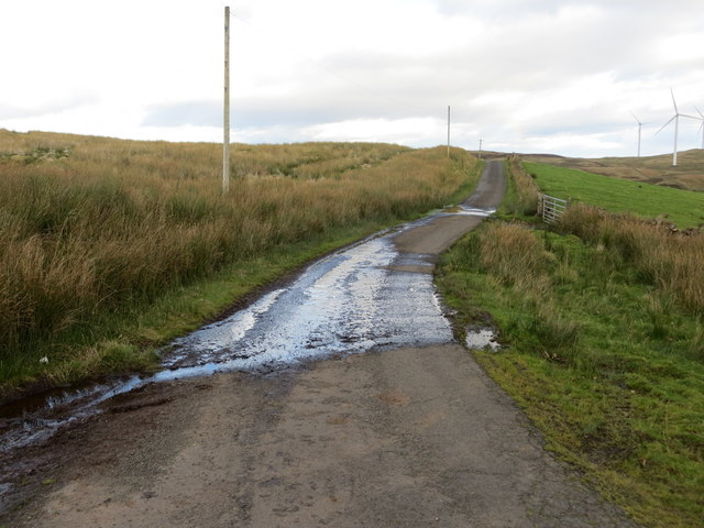
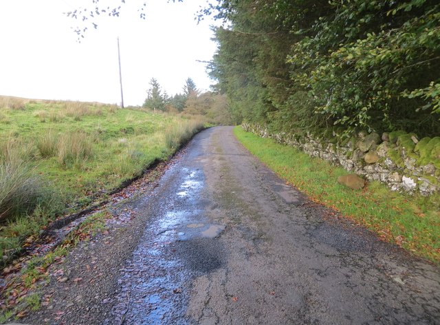
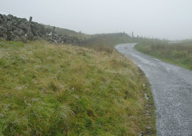
Earlsburn Reservoir Number 2 is a freshwater lake located in Stirlingshire, Scotland. It is part of the larger Earlsburn Reservoir system, which consists of two interconnected reservoirs. The reservoir is situated in a picturesque landscape, surrounded by rolling hills and lush greenery.
Covering an area of approximately 50 acres, Earlsburn Reservoir Number 2 offers a tranquil and serene environment for visitors to enjoy. The calm waters of the lake provide a perfect setting for various recreational activities such as fishing, boating, and birdwatching. Anglers are particularly drawn to this reservoir due to its abundant fish population, including brown trout, rainbow trout, and pike.
The reservoir also serves an important function in supplying water to the local area. It acts as a storage facility, capturing and storing rainfall to ensure a reliable water supply for the surrounding communities. The reservoir system is managed by the local water authority, which ensures its maintenance and regulates water levels.
Surrounding the lake, there is a diverse range of flora and fauna, creating a thriving ecosystem. The freshwater marshes in the vicinity of the reservoir provide a habitat for various bird species, including ducks, swans, and herons. This makes it an ideal spot for bird enthusiasts to observe and appreciate these beautiful creatures in their natural habitat.
Overall, Earlsburn Reservoir Number 2 offers a peaceful retreat for nature lovers, providing opportunities for outdoor recreation and wildlife observation. Its stunning natural beauty and ecological significance make it a popular destination for locals and tourists alike.
If you have any feedback on the listing, please let us know in the comments section below.
Earlsburn Reservoir Number 2 Images
Images are sourced within 2km of 56.073367/-4.079087 or Grid Reference NS7088. Thanks to Geograph Open Source API. All images are credited.


Earlsburn Reservoir Number 2 is located at Grid Ref: NS7088 (Lat: 56.073367, Lng: -4.079087)
Unitary Authority: Stirling
Police Authority: Forth Valley
What 3 Words
///fluctuate.coconut.slipping. Near Kippen, Stirling
Nearby Locations
Related Wikis

Central 103.1 FM
Central 103.1 FM is an Independent Local Radio station serving Falkirk, Stirling, Clackmannanshire and the Forth Valley. It is owned and operated by businessman...
Stirling Transmitting Station
Stirling Transmitting Station is a transmission facility on Earl's Hill southwest of Stirling, Scotland. It was built at the end of the 1950s for the radio...

Gargunnock Hills
The Gargunnock Hills are a range of hills west of the city of Stirling, Scotland. They culminate in the peak of Carleatheran, whose 485-metre (1,591 ft...
Dundaff Castle, Stirling
Dundaff Castle, also known as Sir John de Graham Castle or Graham's Castle, is a ruined 12th century square motte and bailey castle in the Stirling council...
Nearby Amenities
Located within 500m of 56.073367,-4.079087Have you been to Earlsburn Reservoir Number 2?
Leave your review of Earlsburn Reservoir Number 2 below (or comments, questions and feedback).