Bargatton Loch
Lake, Pool, Pond, Freshwater Marsh in Kirkcudbrightshire
Scotland
Bargatton Loch

The requested URL returned error: 429 Too Many Requests
If you have any feedback on the listing, please let us know in the comments section below.
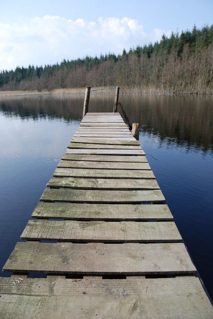
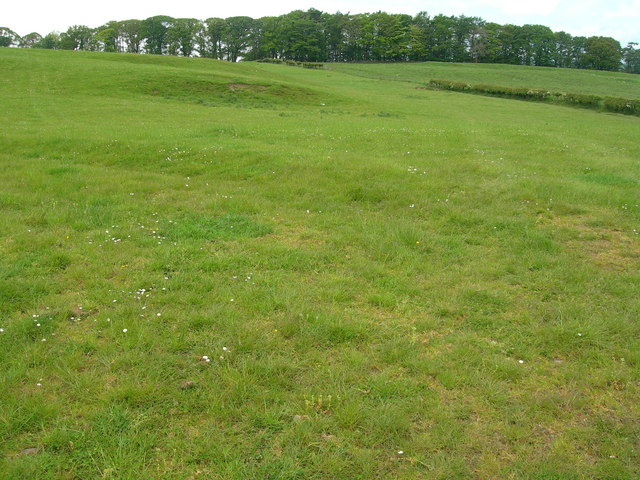
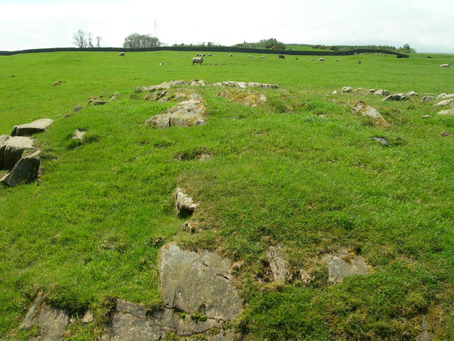
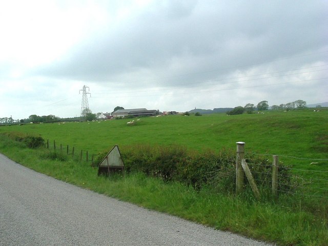
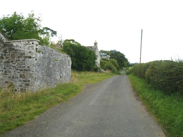
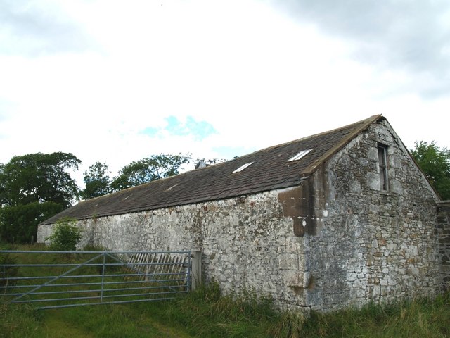
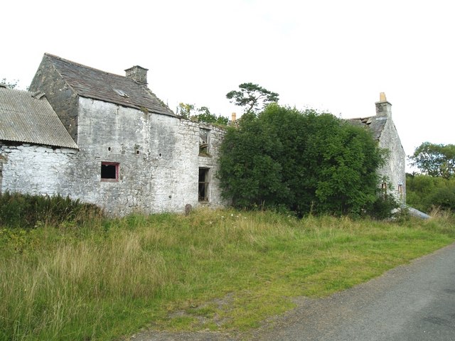
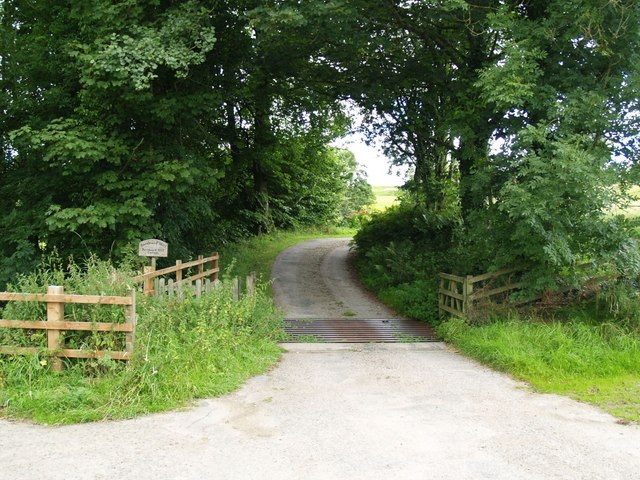
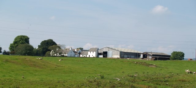
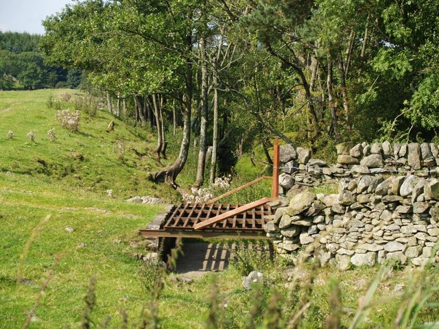
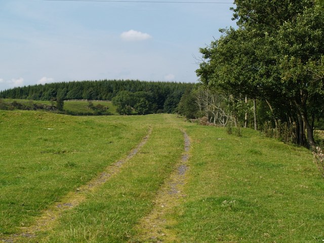
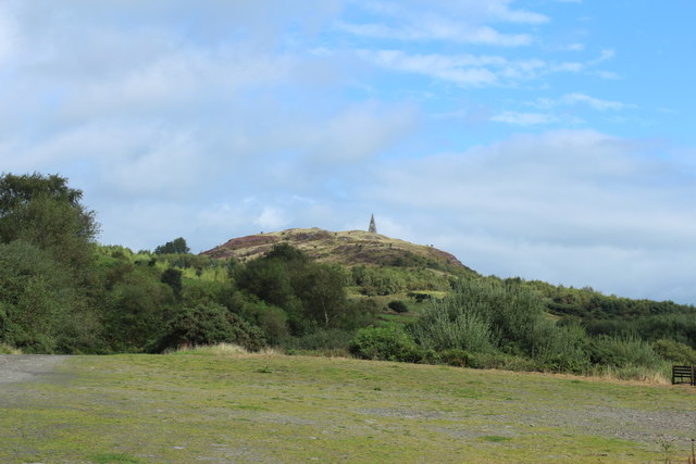
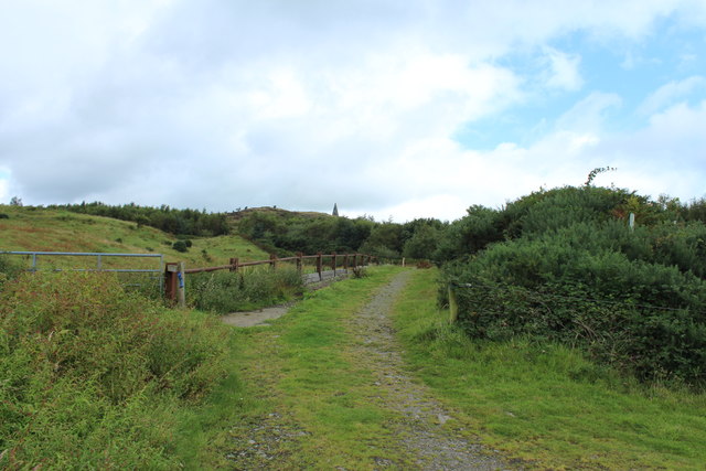
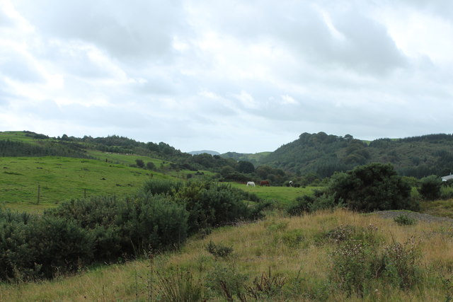
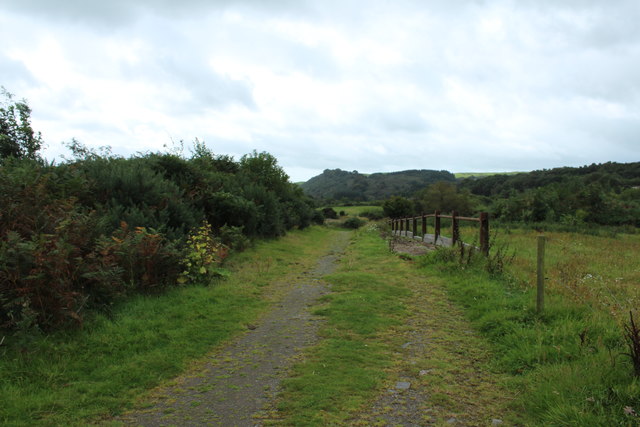
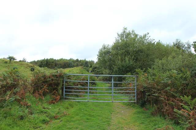
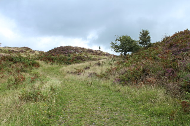
Bargatton Loch Images
Images are sourced within 2km of 54.934274/-4.0422399 or Grid Reference NX6961. Thanks to Geograph Open Source API. All images are credited.
Bargatton Loch is located at Grid Ref: NX6961 (Lat: 54.934274, Lng: -4.0422399)
Unitary Authority: Dumfries and Galloway
Police Authority: Dumfries and Galloway
What 3 Words
///sifts.crisps.demotion. Near Castle Douglas, Dumfries & Galloway
Nearby Locations
Related Wikis

Ringford
Ringford is a village in the historical county of Kirkcudbrightshire in Dumfries and Galloway located at grid reference NX689578 beside the Tarff Water...

Bridge of Dee railway station
Bridge of Dee railway station served the settlement of Bridge of Dee, Dumfries and Galloway, Scotland from 1864 to 1949 on the Kirkcudbright Railway....

Bridge of Dee, Galloway
Bridge of Dee, Galloway is a settlement on the River Dee, Galloway. It lies on the A75 just west of Castle Douglas, and north-east of Kirkcudbright. The...

Threave Castle
Threave Castle is situated on an island in the River Dee, 2.5 kilometres (1.6 mi) west of Castle Douglas in the historical county of Kirkcudbrightshire...
Have you been to Bargatton Loch?
Leave your review of Bargatton Loch below (or comments, questions and feedback).