Barscobe Loch
Lake, Pool, Pond, Freshwater Marsh in Kirkcudbrightshire
Scotland
Barscobe Loch
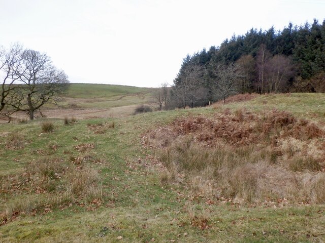
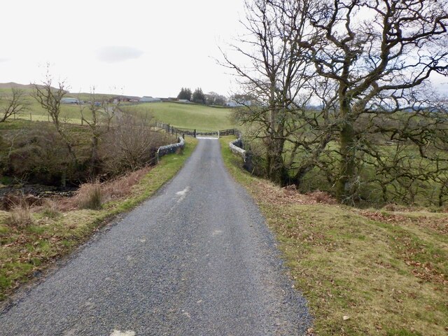
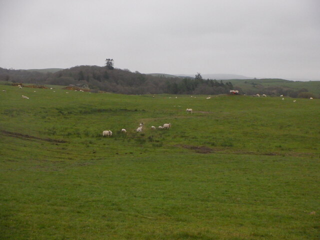
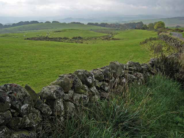
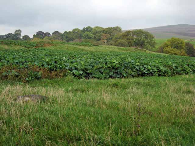
Barscobe Loch is a picturesque freshwater loch located in the region of Kirkcudbrightshire, Scotland. It is nestled amidst the rolling hills and lush greenery, providing a serene and tranquil setting for visitors to enjoy. Spanning an area of approximately 10 hectares, Barscobe Loch is a medium-sized body of water that offers a range of recreational activities.
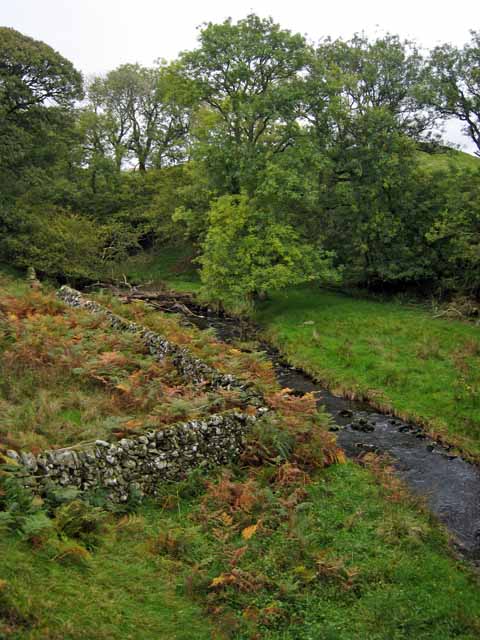
The loch itself is surrounded by a diverse ecosystem, characterized by its natural beauty and abundant wildlife. The water is clear and refreshingly cool, making it suitable for swimming and water-based activities during the warmer months. The surrounding vegetation, including reeds and water lilies, adds to the loch's aesthetic appeal.
Barscobe Loch is a popular spot for fishing enthusiasts, as it is home to a variety of fish species, including brown trout and perch. Anglers can cast their lines from the shore or choose to hire a boat to explore the deeper parts of the loch. The tranquil ambiance and picturesque surroundings make it an ideal location for those seeking a peaceful fishing experience.
Nature lovers can also enjoy the diverse birdlife that frequents the loch, including common species such as swans, ducks, and herons. The surrounding wetlands provide an ideal habitat for these birds, making it a prime spot for birdwatching and photography.
Overall, Barscobe Loch offers a serene and picturesque setting, where visitors can immerse themselves in the beauty of nature. Whether it is fishing, birdwatching, or simply enjoying a peaceful walk along its shores, this freshwater loch provides an idyllic escape from the hustle and bustle of everyday life.
If you have any feedback on the listing, please let us know in the comments section below.
Barscobe Loch Images
Images are sourced within 2km of 55.10921/-4.0877815 or Grid Reference NX6681. Thanks to Geograph Open Source API. All images are credited.


Barscobe Loch is located at Grid Ref: NX6681 (Lat: 55.10921, Lng: -4.0877815)
Unitary Authority: Dumfries and Galloway
Police Authority: Dumfries and Galloway
What 3 Words
///string.destined.variances. Near Castle Douglas, Dumfries & Galloway
Nearby Locations
Related Wikis

Barscobe Castle
Barscobe Castle is a 17th-century tower house in Balmaclellan, Kirkcudbrightshire, Scotland. It is a typical house of a country laird, and according to...

Balmaclellan
Balmaclellan (Scottish Gaelic: Baile Mac-a-ghille-dhiolan, meaning town of the MacLellans) is a small hillside village of stone houses with slate roofs...

Loch Howie
Loch Howie is a small, narrow, upland freshwater loch on the north side of Blackcraig Hill, approximately 18 miles (29 km) west of Dumfries, Scotland....

Lochinvar
Lochinvar (or Lan Var) is a loch in the civil parish of Dalry in the historic county of Kirkcudbrightshire, Dumfries and Galloway Scotland. It is located...

Ken Bridge
The Ken Bridge is a road bridge about 0.8 kilometres (0.5 mi) north east of New Galloway in Dumfries and Galloway, Scotland, which carries the A712 road...

Loch Skae
Loch Skae is a small, upland freshwater loch to the north of Blackcraig Hill, approximately 18 miles (29 km) west of Dumfries, Scotland, 0.5 mi (0.80 km...

Kells, Dumfries and Galloway
Kells parish, in the Stewartry of Kirkcudbright in Scotland, is located 14 miles (NWbN) from Castle-Douglas, and 19 miles (NbW) from Kirkcudbright. It...

St John's Town of Dalry
St John's Town of Dalry (Scottish Gaelic: Clachan Eòin), usually referred to simply as Dalry (/dæl'raɪ/ / 'dal-RYE'), is a village in Dumfries and Galloway...
Nearby Amenities
Located within 500m of 55.10921,-4.0877815Have you been to Barscobe Loch?
Leave your review of Barscobe Loch below (or comments, questions and feedback).