Bar Weil
Lake, Pool, Pond, Freshwater Marsh in Kirkcudbrightshire
Scotland
Bar Weil
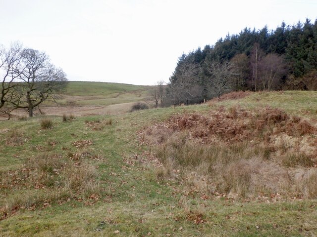
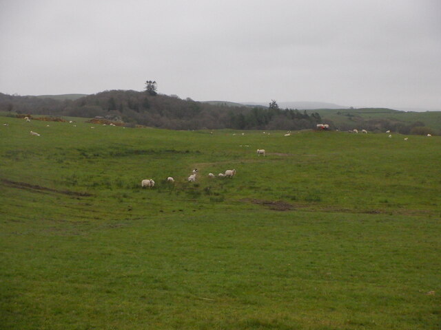
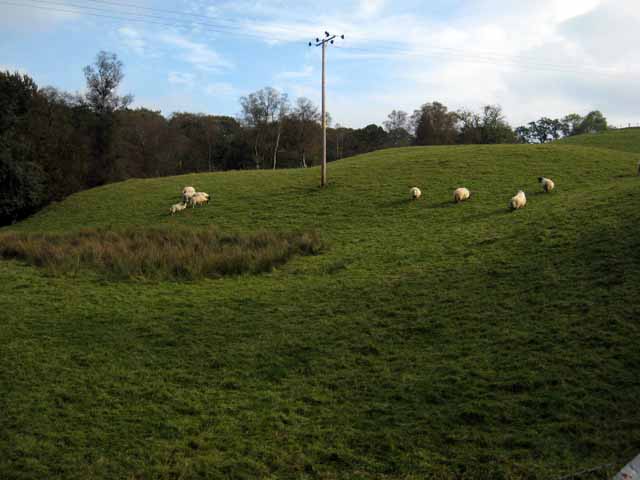
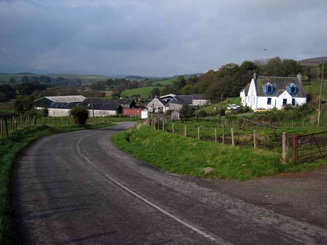
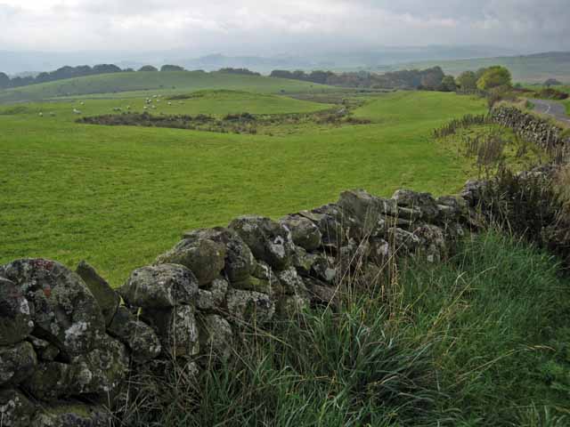
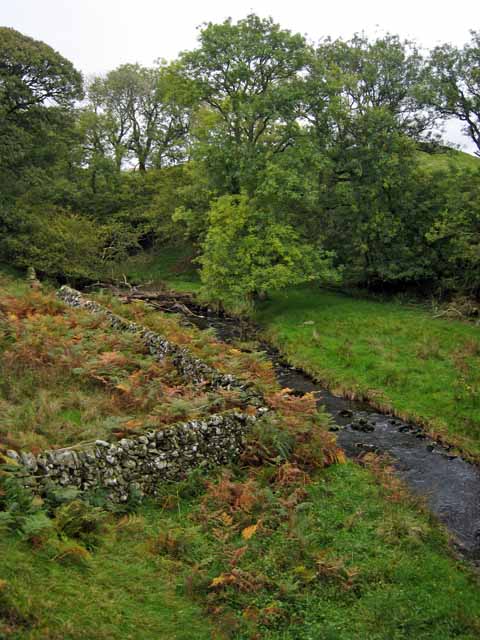
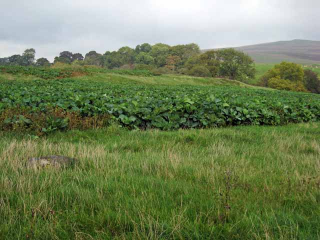
Bar Weil is a small freshwater marsh located in Kirkcudbrightshire, Scotland. This marsh is home to a variety of plant and animal species, including waterfowl, amphibians, and aquatic plants. The marsh is surrounded by rolling hills and dense forests, creating a peaceful and secluded atmosphere for visitors to enjoy.
The marsh itself is relatively small, with a shallow lake, a small pool, and a pond scattered throughout the area. These bodies of water provide habitats for a diverse range of aquatic life, including fish, frogs, and water insects. Visitors to Bar Weil can often spot herons, ducks, and other waterfowl feeding and nesting along the edges of the water.
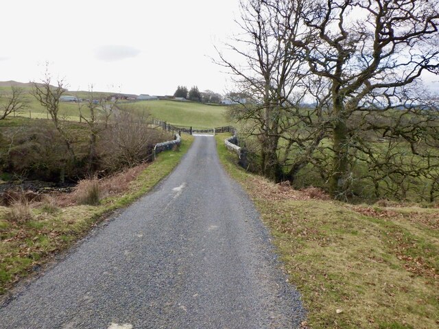
The marsh is a popular spot for birdwatching, nature photography, and wildlife observation. Visitors can explore the area on foot, following winding paths that lead through the marsh and around the various bodies of water. The marsh is also a peaceful spot for picnicking, relaxation, and enjoying the natural beauty of the Scottish countryside.
If you have any feedback on the listing, please let us know in the comments section below.
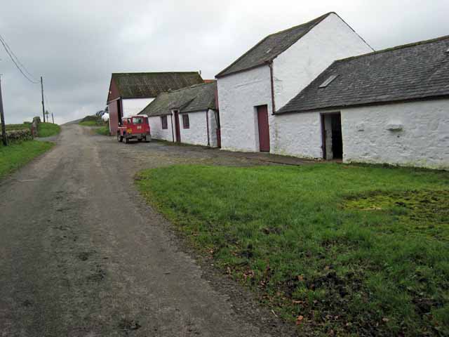
Bar Weil Images
Images are sourced within 2km of 55.109888/-4.0964715 or Grid Reference NX6681. Thanks to Geograph Open Source API. All images are credited.


Bar Weil is located at Grid Ref: NX6681 (Lat: 55.109888, Lng: -4.0964715)
Unitary Authority: Dumfries and Galloway
Police Authority: Dumfries and Galloway
What 3 Words
///topping.blazing.nerves. Near Castle Douglas, Dumfries & Galloway
Nearby Locations
Related Wikis

Barscobe Castle
Barscobe Castle is a 17th-century tower house in Balmaclellan, Kirkcudbrightshire, Scotland. It is a typical house of a country laird, and according to...

Balmaclellan
Balmaclellan (Scottish Gaelic: Baile Mac-a-ghille-dhiolan, meaning town of the MacLellans) is a small hillside village of stone houses with slate roofs...

Lochinvar
Lochinvar (or Lan Var) is a loch in the civil parish of Dalry in the historic county of Kirkcudbrightshire, Dumfries and Galloway Scotland. It is located...

Loch Howie
Loch Howie is a small, narrow, upland freshwater loch on the north side of Blackcraig Hill, approximately 18 miles (29 km) west of Dumfries, Scotland....
Nearby Amenities
Located within 500m of 55.109888,-4.0964715Have you been to Bar Weil?
Leave your review of Bar Weil below (or comments, questions and feedback).