Llyn yr Arddu

Lake, Pool, Pond, Freshwater Marsh in Merionethshire
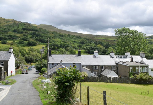
Wales

Llyn yr Arddu

Landscape North of Croesor Yr Arddu in the background.
Landscape North of Croesor Credit: Chris Andrews

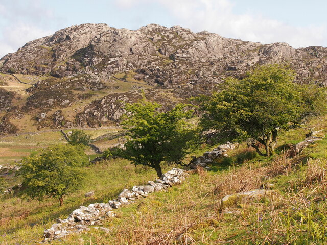
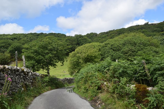
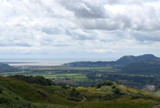
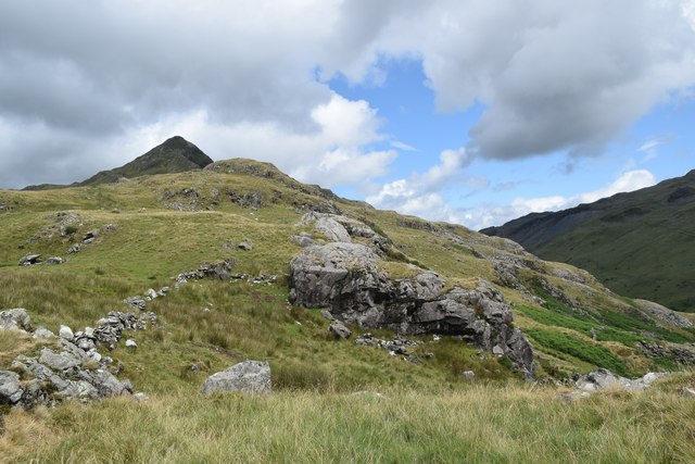
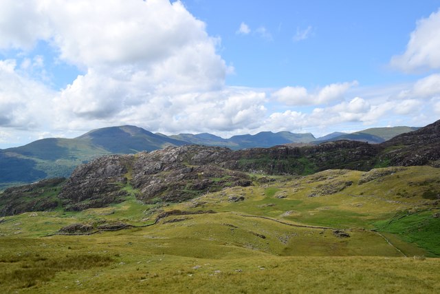
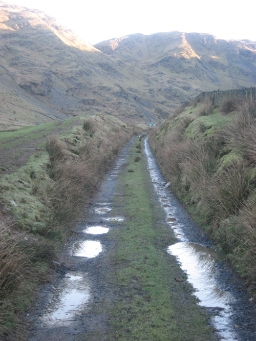
Llyn yr Arddu, situated in the county of Merionethshire, is a beautiful freshwater lake located within Snowdonia National Park in Wales. The lake, also known as Llyn y Dywarchen, is nestled amidst the picturesque landscape of the Arddu Valley, surrounded by towering mountains and verdant hills.

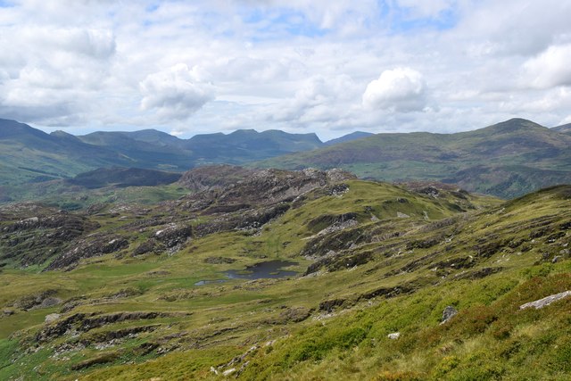
Covering an area of approximately 6 hectares, Llyn yr Arddu is relatively small compared to other lakes in the region. Its crystal-clear waters are fed by several small streams that flow down from the surrounding hills, ensuring a constant supply of fresh water. The lake is home to a diverse range of flora and fauna, making it a popular destination for nature enthusiasts and wildlife lovers.

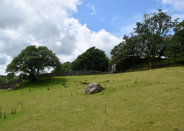
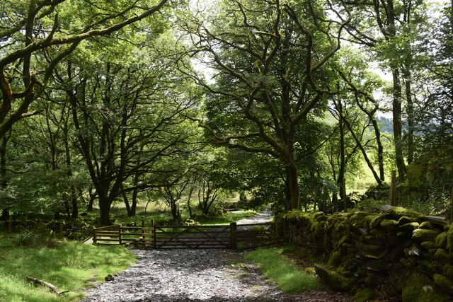
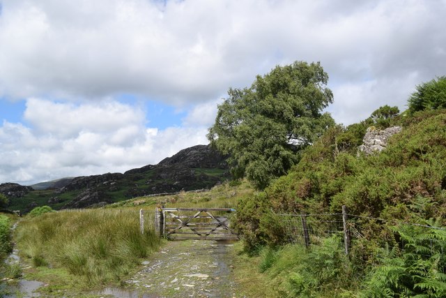
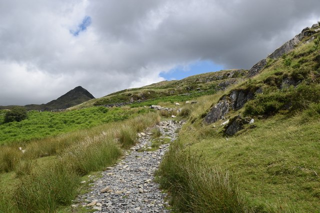
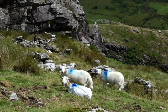
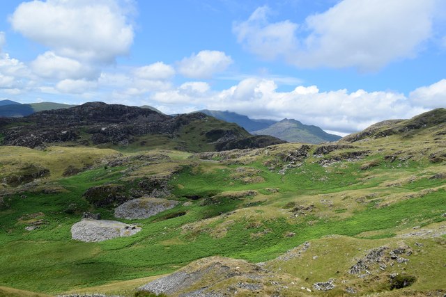
The surrounding area of Llyn yr Arddu is characterized by a unique blend of habitats, including woodlands, meadows, and wetlands. A freshwater marsh can be found on the northern edge of the lake, providing a habitat for various species of amphibians, water birds, and aquatic plants. The marshland is dotted with reeds and sedges, creating a lush and vibrant ecosystem.

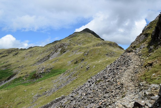
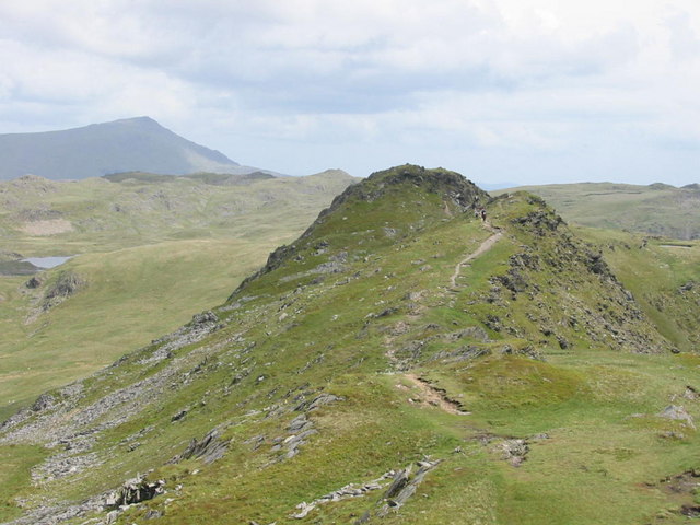
The lake itself offers a tranquil and serene atmosphere, attracting visitors who seek peace and solitude amidst nature. It is a popular spot for fishing, with anglers often trying their luck at catching brown trout or perch that thrive in the lake's waters. Additionally, the lake's surrounding trails and pathways provide opportunities for hiking and exploration, offering breathtaking views of the surrounding mountains and valleys.

Overall, Llyn yr Arddu is a hidden gem in Merionethshire, offering a harmonious blend of natural beauty and tranquility for visitors to immerse themselves in.

If you have any feedback on the listing, please let us know in the comments section below.

Llyn yr Arddu Images

Images are sourced within 2km of 52.998979/-4.0458829 or Grid Reference SH6246. Thanks to Geograph Open Source API. All images are credited.

Landscape North of Croesor Yr Arddu in the background.
Landscape North of Croesor
Yr Arddu in the background.
Croesor cottages Moelwyn Bach looms in the distance.
Croesor cottages
Moelwyn Bach looms in the distance.
Former chapel, Croesor Now in residential use.   If anybody knows the chapel denomination, I will amend the caption.   The steeply sloping road to the left leads towards the peak of Cnicht.
Former chapel, Croesor
Now in residential use. If anybody knows the chapel denomination, I will amend the caption. The steeply sloping road to the left leads towards the peak of Cnicht.
Erratic boulder, Croesor
Round the bend... ...on the way to Cnicht.
Round the bend...
...on the way to Cnicht.
Track through the woods... ...to the west of Croesor.
Track through the woods...
...to the west of Croesor.
Parting of the paths The Snowdonia Slate Trail to the left, the start of the ascent to Cnicht to the right...
Parting of the paths
The Snowdonia Slate Trail to the left, the start of the ascent to Cnicht to the right...
Climbing towards Cnicht The path of slate and granite chips is mostly well-defined.  Cnicht looms in the background.
Climbing towards Cnicht
The path of slate and granite chips is mostly well-defined. Cnicht looms in the background.
Looking back towards the coast The Glaslyn estuary and Porthmadog, some 10 km away, with clouds starting to gather...
Looking back towards the coast
The Glaslyn estuary and Porthmadog, some 10 km away, with clouds starting to gather...
Sheep by the path... ...on the way to Cnicht.  They seemed surprised to see me, perhaps they had a sense that a storm was blowing in...    The rock is (I think) part of an intrusion of igneous bedrock formed between 485.4 and 443.8 million years ago during the Ordovician period.
Sheep by the path...
...on the way to Cnicht. They seemed surprised to see me, perhaps they had a sense that a storm was blowing in... The rock is (I think) part of an intrusion of igneous bedrock formed between 485.4 and 443.8 million years ago during the Ordovician period.
Climbing towards Cnicht The terrain is getting rockier but there is still a long way to go...
Climbing towards Cnicht
The terrain is getting rockier but there is still a long way to go...
Looking towards Yr Arddu Yr Arddu is an igneous intrusion of rhyolite, being bedrock formed between 485.4 and 443.8 million years ago during the Ordovician period.   There are countless sheep in the blown-up photo...
Looking towards Yr Arddu
Yr Arddu is an igneous intrusion of rhyolite, being bedrock formed between 485.4 and 443.8 million years ago during the Ordovician period. There are countless sheep in the blown-up photo...
Scramble over the scree... ...on the way to Cnicht.    There is a path of sorts, but this is maybe the trickiest point of the ascent.
Scramble over the scree...
...on the way to Cnicht. There is a path of sorts, but this is maybe the trickiest point of the ascent.
Snowdonia glacial landscape Drumlins and waste heaps from abandoned late quarries.
Snowdonia glacial landscape
Drumlins and waste heaps from abandoned late quarries.
Clambering to Cnicht The 'Matterhorn' like peak is getting steeper but the path is well-defined and steady progress can be made...
Clambering to Cnicht
The 'Matterhorn' like peak is getting steeper but the path is well-defined and steady progress can be made...
Glacial landscape south of Bwlch y Battel Rocks scoured and scraped by a glacier some 10,000 years ago.   A footpath on the OS map seems to pass through the middle of the lake.
Glacial landscape south of Bwlch y Battel
Rocks scoured and scraped by a glacier some 10,000 years ago. A footpath on the OS map seems to pass through the middle of the lake.
Cnicht: rocks at the top The 689-metre summit affords spectacular views, but there is no trig point.    The clouds are starting to look a little ominous.
Cnicht: rocks at the top
The 689-metre summit affords spectacular views, but there is no trig point. The clouds are starting to look a little ominous.
Looking back down the ridge... ...from the summit of Cnicht.    Porthmadog can just be seen in the far distance.
Looking back down the ridge...
...from the summit of Cnicht. Porthmadog can just be seen in the far distance.
Show me another place!

Llyn yr Arddu is located at Grid Ref: SH6246 (Lat: 52.998979, Lng: -4.0458829)

Unitary Authority: Gwynedd

Police Authority: North Wales

What 3 Words

///shocking.dreaming.directors. Near Maentwrog, Gwynedd

Related Wikis

Yr Arddu (South)

Yr Arddu is a large hill in Snowdonia, Wales (Not to be confused with the 589 metre Yr Arddu (North) to the east of Snowdon). It lies approximately 2.5...

Hafod Garregog National Nature Reserve

Hafod Garegog National Nature Reserve is a national nature reserve located near the village of Nantmor, about 6 kilometres north of Porthmadog in Gwynedd...

Cnicht

Cnicht is a mountain in Snowdonia which forms part of the Moelwynion mountain range. == Features == Its appearance when viewed from the south-west, i.e...

Cnicht North Top

Cnicht North Top is a top of Cnicht in Snowdonia, which forms part of the Moelwynion mountain range. It is one of the Nuttalls, a list of 443 hills in...

Parc, Penrhyndeudraeth

Parc (meaning Park in English) is the name of an ancient mansion found near the village of Croesor in the community of Llanfrothen near Penrhyndeudraeth...

Croesor Tramway

The Croesor Tramway was a Welsh, 2 ft (610 mm) narrow gauge railway line built to carry slate from the Croesor slate mines to Porthmadog. It was built...

Croesor

Croesor is a small village in Gwynedd, Wales, located at the foot of Cnicht, in Cwm Croesor, in the community of Llanfrothen. The Croesor Tramway travelled...

Nantmor

Nantmor is a hamlet which lies about 1½ miles to the south of the village of Beddgelert in Gwynedd, Wales. The current spelling of the name Nantmor is...

Nearby Amenities

Located within 500m of 52.998979,-4.0458829
Yr Arddu
Ele: 389
Natural: peak
Source: npe
Wikidata: Q8059635
Lat/Long: 52.9957841/-4.0458088
Yr Arddu
Description: OS trig pillar
Ele: 388.924
Man Made: survey_point
Material: concrete
Note: Surface block on surface next to cairn/pile of stones with pin snapped off
Ref: SH62T063
Source: Ordnance Survey and Trigpointing.uk
Survey Point: pin
Tpuk Ref: TP8516
Lat/Long: 52.995762/-4.047892
The data included in this document is from www.openstreetmap.org. The data is made available under ODbL.

Have you been to Llyn yr Arddu?

Leave your review of Llyn yr Arddu below (or comments, questions and feedback).