Lochan na Làirige

Lake, Pool, Pond, Freshwater Marsh in Perthshire

Scotland

Lochan na Làirige

Minor road near Loch na Lairige
Minor road near Loch na Lairige Credit: Steven Brown

Lochan na Làirige is a picturesque freshwater loch located in the county of Perthshire, Scotland. Nestled amidst the stunning landscapes of the Cairngorms National Park, it is a popular destination for nature enthusiasts and outdoor adventurers.

Covering an area of approximately 5 hectares, Lochan na Làirige is surrounded by rolling hills and dense forests, creating a tranquil and serene atmosphere. The loch is fed by several small streams and springs, ensuring a constant supply of crystal-clear water. Its depth varies across different areas, with the deepest point reaching around 10 meters.

The surrounding area of Lochan na Làirige features a diverse range of flora and fauna. The loch itself supports a rich and varied aquatic ecosystem, with numerous species of fish, such as brown trout and pike, inhabiting its waters. The marshy areas around the loch are home to a variety of wetland plants, including reeds and water lilies, attracting a vibrant array of bird species like herons and ducks.

The loch is a popular spot for fishing and angling, with visitors enjoying the peaceful surroundings while casting their lines. It also offers opportunities for water-based activities, such as canoeing and kayaking, allowing visitors to explore the loch and its surroundings from a different perspective.

Lochan na Làirige is easily accessible, with a car park located nearby, making it a convenient destination for day trips or longer stays. Its breathtaking natural beauty, diverse wildlife, and recreational opportunities make it a must-visit location for nature lovers and those seeking a peaceful retreat in the heart of Perthshire.

If you have any feedback on the listing, please let us know in the comments section below.

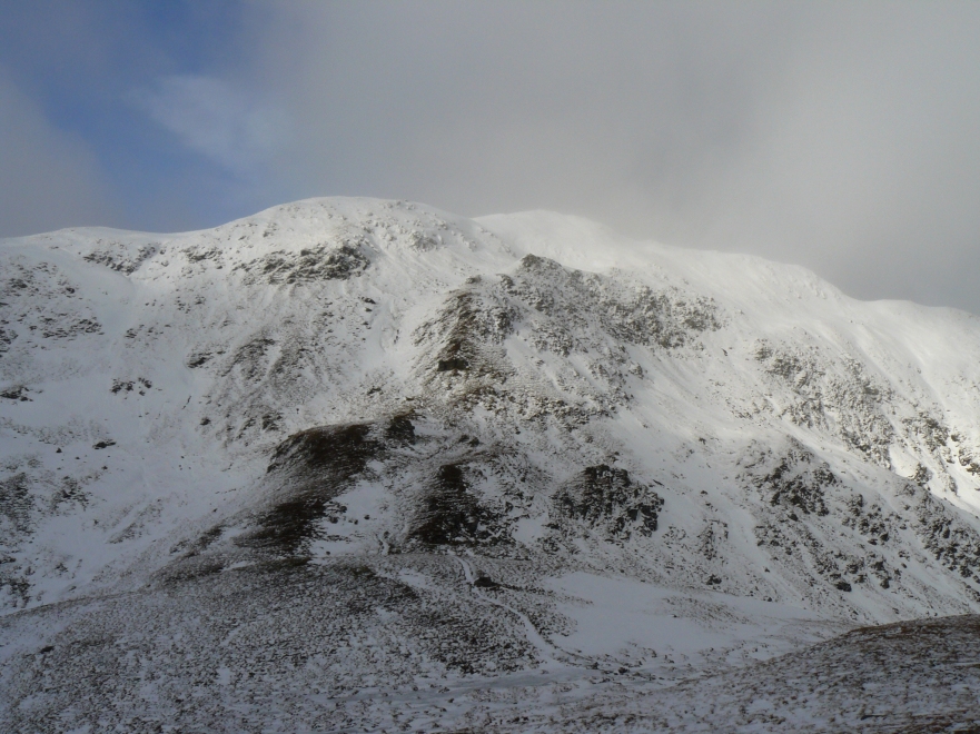
Lochan na Làirige Images

Images are sourced within 2km of 56.531142/-4.2826633 or Grid Reference NN5940. Thanks to Geograph Open Source API. All images are credited.

Minor road near Loch na Lairige
Minor road to Glen Lyon
Path following the fence line up Meall Corranaich
Path up Meall Corranaich
Lochan na Lairige The head of the lochan which is actually a reservoir.
Lochan na Lairige
The head of the lochan which is actually a reservoir.
Moorland above Lochan Na Lairige reservoir From the A827 on the northern side of Loch Tay a single track road takes you into the Ben Lawers National Nature Reserve, past Lochan na Lairige and onto open moorland
Moorland above Lochan Na Lairige reservoir
From the A827 on the northern side of Loch Tay a single track road takes you into the Ben Lawers National Nature Reserve, past Lochan na Lairige and onto open moorland
Lochan na Lairige
Lochan na Lairige
Lane leading towards Lairig an Lochain with view towards Meall Corranaich
Path towards Lochan na Lairige The water is the Lochan na Lairige hydroelectric reservoir, held back by the Lawers Dam at the far end.
Path towards Lochan na Lairige
The water is the Lochan na Lairige hydroelectric reservoir, held back by the Lawers Dam at the far end.
Looking over to the ridge Looking west over the Burn of Edramucky to the end of the knobbly ridge that extends south from Meall Corranaich, with Meall nan Tarmachan beyond.
Looking over to the ridge
Looking west over the Burn of Edramucky to the end of the knobbly ridge that extends south from Meall Corranaich, with Meall nan Tarmachan beyond.
Hydro Power Lawers Dam, part of the Breadalbane Hydro Scheme which started producing power in 1956. Behind is the impressive Creag an Lochain.
Hydro Power
Lawers Dam, part of the Breadalbane Hydro Scheme which started producing power in 1956. Behind is the impressive Creag an Lochain.
High Level Road The single track road from Loch Tay to Glen Lyon rises to a height of over 550m. This is just below the high point near Lawers Dam with the impressive crags of Creag an Lochain seen above the road, part of the Munro of Meall nan Tarmachan.
High Level Road
The single track road from Loch Tay to Glen Lyon rises to a height of over 550m. This is just below the high point near Lawers Dam with the impressive crags of Creag an Lochain seen above the road, part of the Munro of Meall nan Tarmachan.
Slopes of Meall Corranaich
Path from Beinn Ghlas Loch Tay is in the distance.
Path from Beinn Ghlas
Loch Tay is in the distance.
Path towards Beinn Ghlas A well made, and well used, path towards Beinn Ghlas, en route to Ben Lawers.
Path towards Beinn Ghlas
A well made, and well used, path towards Beinn Ghlas, en route to Ben Lawers.
Descending Beinn Ghlas Looking across the valley of the Burn of Edramucky.
Descending Beinn Ghlas
Looking across the valley of the Burn of Edramucky.
Lawers Dam Lawers Dam was constructed in 1951-6 to hold back Lochan-na-Lairige reservoir. It measures 344m in length and 42m in height. From here the water drops 415m in a pipeline to the Finlarig power station on Loch Tay.
Lawers Dam
Lawers Dam was constructed in 1951-6 to hold back Lochan-na-Lairige reservoir. It measures 344m in length and 42m in height. From here the water drops 415m in a pipeline to the Finlarig power station on Loch Tay.
Show me another place!

Lochan na Làirige is located at Grid Ref: NN5940 (Lat: 56.531142, Lng: -4.2826633)

Unitary Authority: Perth and Kinross

Police Authority: Tayside

What 3 Words

///palaces.depths.cooks. Near Pubil, Perth & Kinross

Related Wikis

Meall nan Tarmachan

Meall nan Tarmachan (Scottish Gaelic: [ˈmjaul̪ˠ nən̪ˠ ˈt̪aɾaməxan]) is a mountain in the Southern Highlands of Scotland near Killin just west of Ben Lawers...

Meall Corranaich

Meall Corranaich (Scottish Gaelic: Meall Choire Inich) is a mountain with a height of 1,069 metres (3,507 ft) in the Grampian Mountains of Scotland. It...

Beinn Ghlas

Beinn Ghlas is a mountain in the Breadalbane region of the Scottish Highlands. It lies on the north shore of Loch Tay and is part of the Ben Lawers Range...

Ben Lawers

Ben Lawers (Scottish Gaelic: Beinn Labhair) is the highest mountain in the Breadalbane region of the Scottish Highlands. It lies north of Loch Tay and...

Nearby Amenities

Located within 500m of 56.531142,-4.2826633
Passing Place
Lat/Long: 56.5323528/-4.2769042
Passing Place
Lat/Long: 56.5287523/-4.2761059
Passing Place
Lat/Long: 56.5308878/-4.2765143
Passing Place
Lat/Long: 56.5332373/-4.2773398
Passing Place
Lat/Long: 56.5305031/-4.2764199
The data included in this document is from www.openstreetmap.org. The data is made available under ODbL.

Have you been to Lochan na Làirige?

Leave your review of Lochan na Làirige below (or comments, questions and feedback).