Furmiston Linn
Lake, Pool, Pond, Freshwater Marsh in Kirkcudbrightshire
Scotland
Furmiston Linn
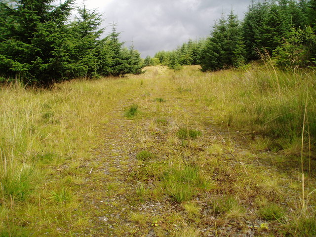
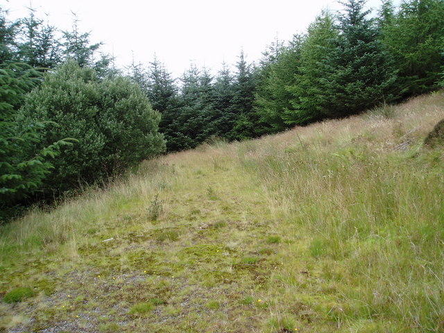
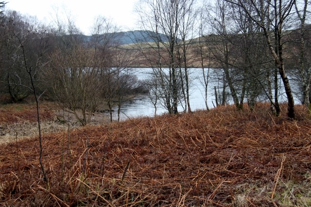
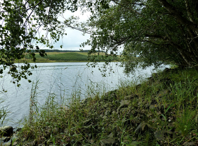
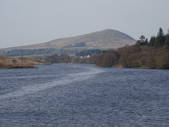
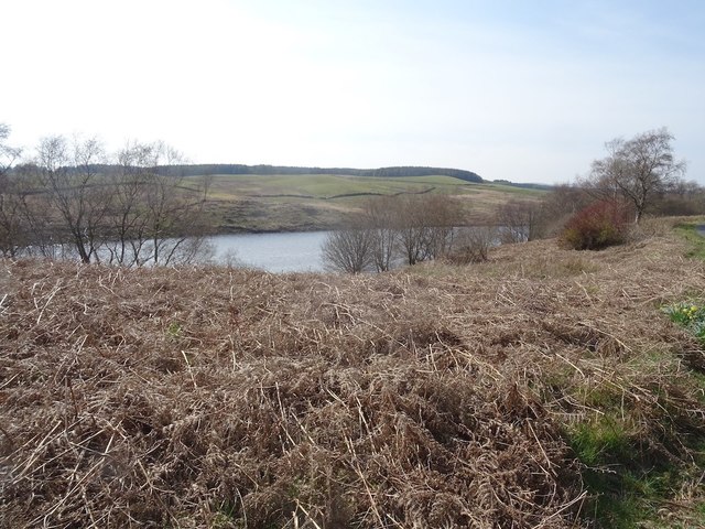
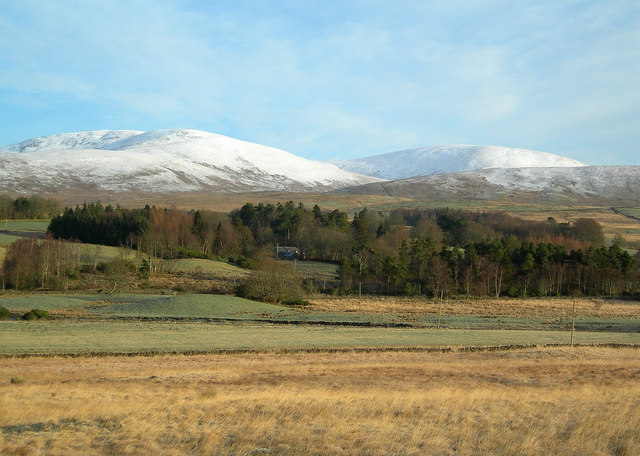
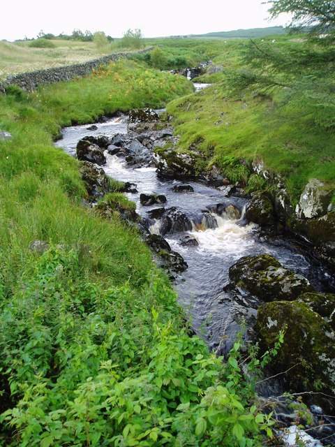
Furmiston Linn is a picturesque freshwater marshland located in Kirkcudbrightshire, Scotland. It is a natural habitat that comprises a lake, pool, pond, and a thriving ecosystem. Spanning over a considerable area, Furmiston Linn is known for its rich biodiversity, offering a haven for various plant and animal species.
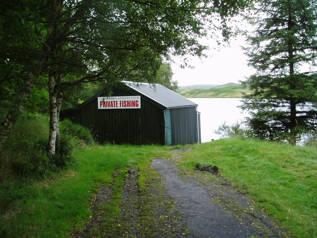
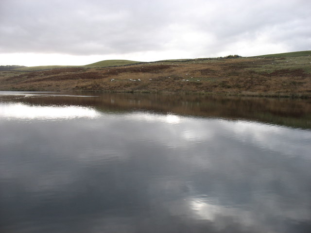
The lake at Furmiston Linn is a stunning body of water surrounded by lush greenery. It is fed by several small streams and springs that trickle down from the nearby hills. The crystal-clear water of the lake supports a diverse range of aquatic life, including fish, frogs, and water insects. It also attracts an array of bird species, making it a popular spot for birdwatching enthusiasts.
Adjacent to the lake is a beautiful pool, characterized by its calm and serene atmosphere. The pool is relatively shallow, with a gentle slope leading into it. It is home to several aquatic plants, such as water lilies and reeds, creating a visually appealing setting.
In addition to the lake and pool, Furmiston Linn boasts a small pond. This pond is teeming with life, hosting various amphibians like newts and toads. It also supports a variety of aquatic plants, providing a crucial habitat for these organisms.
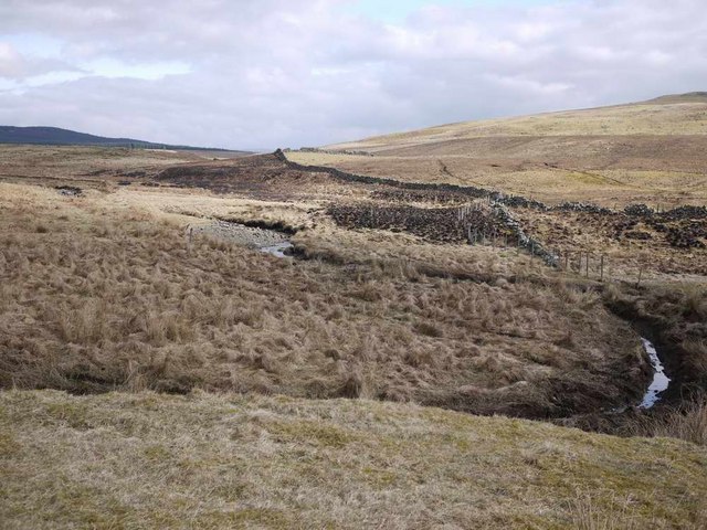
The entire area of Furmiston Linn is a freshwater marsh, characterized by its wet and marshy conditions. The marsh acts as a natural filter, purifying the water that flows through it. It is home to a wide range of plant species, including sedges, rushes, and grasses. These plants not only provide cover and food for the resident wildlife but also contribute to maintaining the overall ecosystem balance.
Overall, Furmiston Linn is a remarkable natural site, offering a glimpse into the beauty and diversity of Kirkcudbrightshire's freshwater habitats. Its lake, pool, pond, and freshwater marsh provide a thriving environment for numerous plant and animal species, making it a must-visit location
If you have any feedback on the listing, please let us know in the comments section below.
Furmiston Linn Images
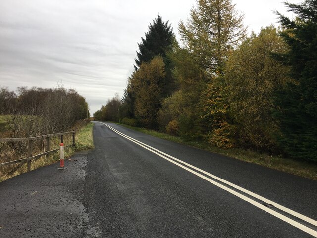
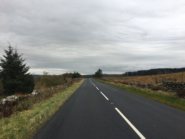
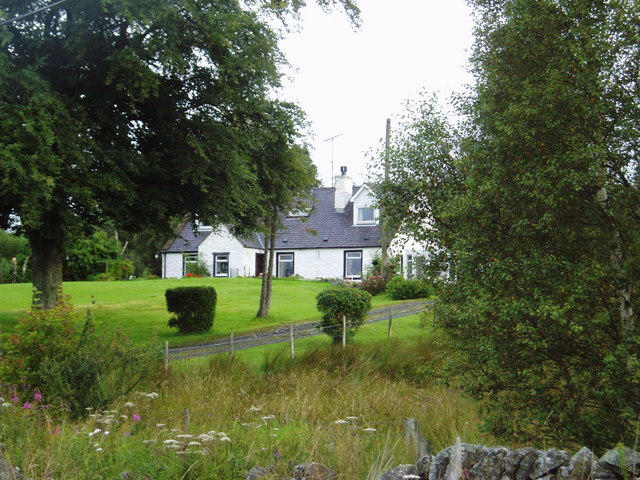
Images are sourced within 2km of 55.20621/-4.2135304 or Grid Reference NX5992. Thanks to Geograph Open Source API. All images are credited.
Furmiston Linn is located at Grid Ref: NX5992 (Lat: 55.20621, Lng: -4.2135304)
Unitary Authority: Dumfries and Galloway
Police Authority: Dumfries and Galloway
What 3 Words
///warms.tint.awestruck. Near Bellsbank, East Ayrshire
Nearby Locations
Related Wikis

Carsphairn
Carsphairn (Scottish Gaelic: An Còrsa Feàrna) is a village in the historic county of Kirkcudbrightshire in Dumfries and Galloway, Scotland. It is located...

Cairnsmore of Carsphairn
Cairnsmore of Carsphairn is a hill in the Carsphairn and Scaur Hills range, part of the Southern Uplands of Scotland. An alternative name, rarely used...

Waukers Linn
Waukers Linn is a waterfall on Polharrow Burn in Dumfries and Galloway, Scotland. == See also == Waterfalls of Scotland == References ==

Polharrow Burn
Polharrow Burn is a small watercourse in Dumfries and Galloway, Scotland, in the historic county of Kirkcudbrightshire. It rises in Loch Harrow and flows...

Earlstoun Castle
Earlstoun Castle, sometimes spelled Earlston Castle, is a derelict tower house near St John's Town of Dalry in Dumfries and Galloway, Scotland. Built in...

Windy Standard
Windy Standard is a hill in the Carsphairn and Scaur Hills range, part of the Southern Uplands of Scotland. It lies in Dumfries and Galloway, south of...

Lochinvar
Lochinvar (or Lan Var) is a loch in the civil parish of Dalry in the historic county of Kirkcudbrightshire, Dumfries and Galloway Scotland. It is located...
Nearby Amenities
Located within 500m of 55.20621,-4.2135304Have you been to Furmiston Linn?
Leave your review of Furmiston Linn below (or comments, questions and feedback).