Craigmaddie Reservoir
Lake, Pool, Pond, Freshwater Marsh in Stirlingshire
Scotland
Craigmaddie Reservoir
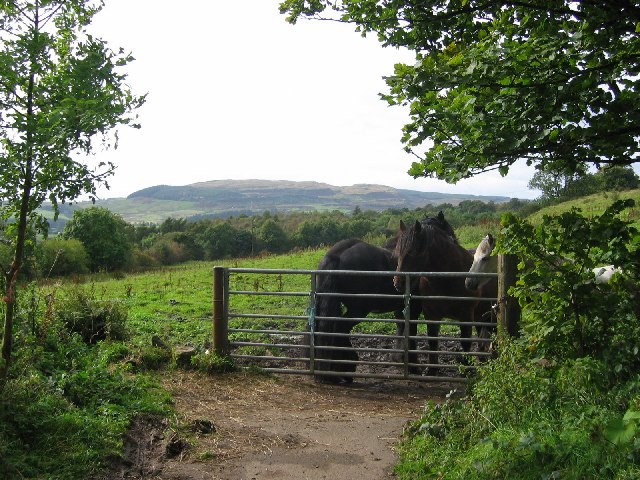
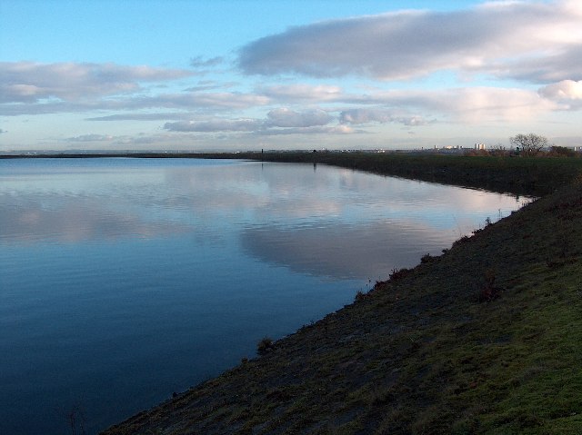
Craigmaddie Reservoir is a freshwater reservoir located in Stirlingshire, Scotland. It is situated in the hills to the north of Glasgow, near the village of Baldernock. The reservoir serves as a water supply source for the city of Glasgow and its surrounding areas.
Covering an area of approximately 24 hectares, Craigmaddie Reservoir is a man-made body of water created in the early 20th century. It was constructed by damming the Craigmaddie Burn, a small stream that flows through the surrounding hills. The reservoir is surrounded by picturesque countryside and offers stunning views of the nearby Campsie Fells.
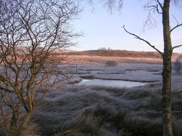
The water in Craigmaddie Reservoir is mainly sourced from rainfall and runoff from the surrounding hills. It is a freshwater body, providing a habitat for a variety of aquatic life. The reservoir's depth can vary depending on the season and rainfall levels, but it generally ranges from 4 to 6 meters.
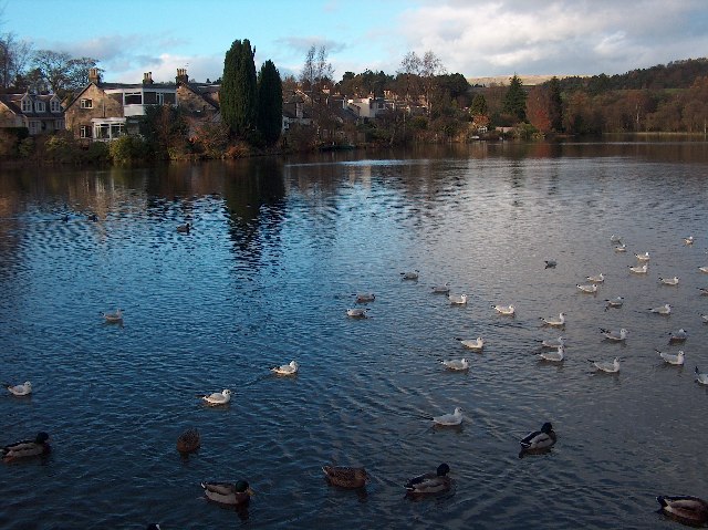
Craigmaddie Reservoir is a popular destination for outdoor enthusiasts and nature lovers. It offers opportunities for fishing, with brown and rainbow trout being the main species found in its waters. The reservoir is also a peaceful spot for birdwatching, with several species of waterfowl and birds of prey frequently spotted in the area.
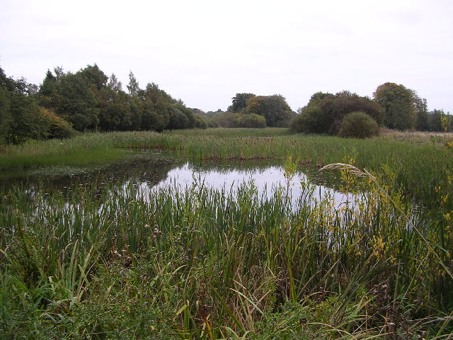
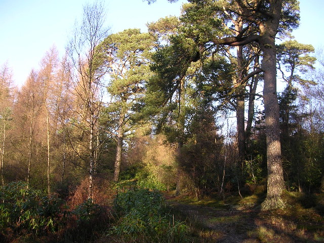
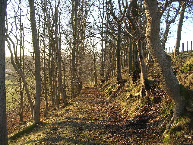
Surrounded by woodland and grassland, Craigmaddie Reservoir is an important habitat for a range of plants and animals. It supports a diverse ecosystem, including freshwater marshes and ponds that provide a home to various species of flora and fauna.
Overall, Craigmaddie Reservoir is not only a vital water supply source but also a scenic and ecologically important area, attracting visitors who seek to enjoy its natural beauty and peaceful surroundings.
If you have any feedback on the listing, please let us know in the comments section below.
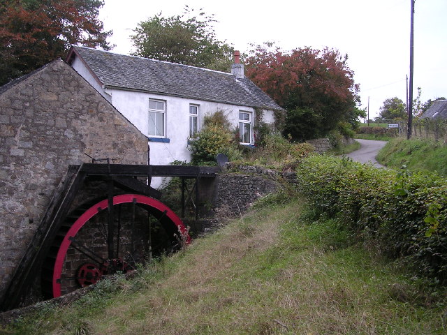
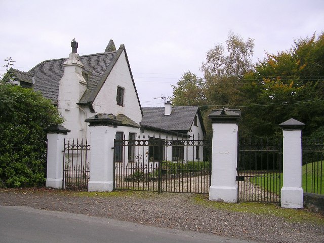
Craigmaddie Reservoir Images
Images are sourced within 2km of 55.951328/-4.3017679 or Grid Reference NS5675. Thanks to Geograph Open Source API. All images are credited.
Craigmaddie Reservoir is located at Grid Ref: NS5675 (Lat: 55.951328, Lng: -4.3017679)
Unitary Authority: East Dunbartonshire
Police Authority: Greater Glasgow
What 3 Words
///lies.urgent.jokes. Near Milngavie, East Dunbartonshire
Nearby Locations
Related Wikis

Milngavie water treatment works
Milngavie water treatment works (commonly known as The Waterworks) is a Scottish Water-operated water treatment facility located in Milngavie, Scotland...

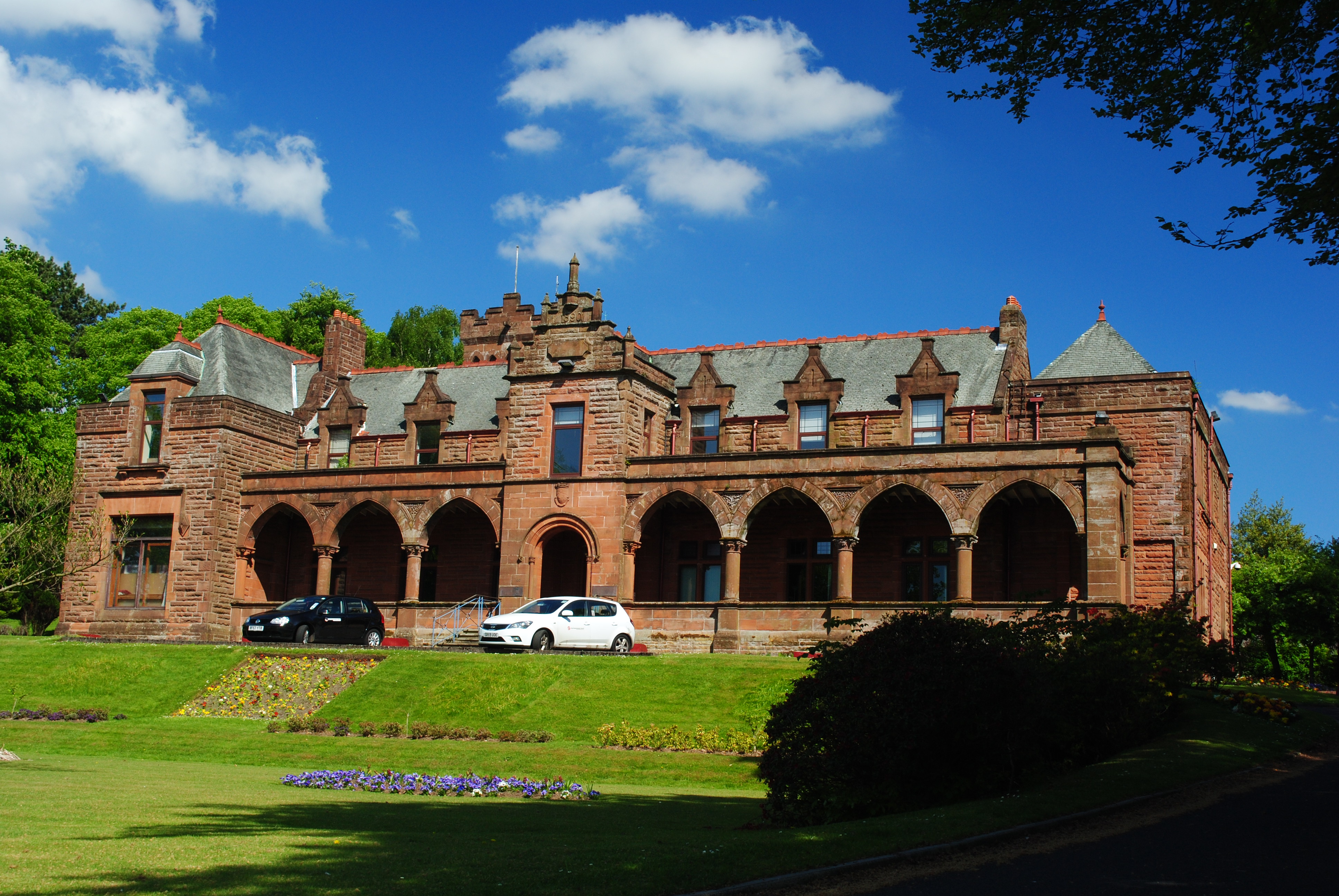
Heatherbank House
Heatherbank House is an early 19th century private house located in Milngavie, Scotland and is one of the oldest buildings in the town. It is the former...

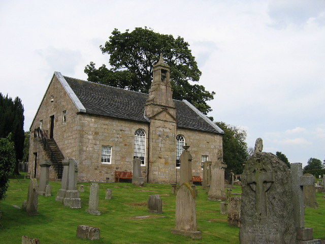
St Paul's Church (Milngavie)
St Paul's Church is a church building of the Presbyterian Church of Scotland in the Scottish town of Milngavie in East Dunbartonshire, near Glasgow. It...

Milngavie
Milngavie ( mul-GHY; Scottish Gaelic: Muileann-Ghaidh) is a town in East Dunbartonshire, Scotland and a suburb of Glasgow. It is on the Allander Water...

Milngavie railway station
Milngavie railway station serves the town of Milngavie, East Dunbartonshire, near Glasgow in Scotland. The station is sited 9 miles 35 chains (15.2 km...

Baldernock
Baldernock (; Gaelic: Baile D' Earnaig) meaning 'settlement of St Earnaig' (Iain Mac an Táilleir, Sabhall Mór Ostaig) is a small parish in East Dunbartonshire...
Bearsden and Milngavie
Bearsden and Milngavie (Scottish Gaelic: Cille Phàdraig Ùr agus Muileann Dhaibhidh) was, from 1975 to 1996, one of nineteen local government districts...
Mugdock
Mugdock is a hamlet in Stirlingshire, Scotland. It lies to the south of the village of Strathblane, and was in the civil parish. In the past the hamlet...
Nearby Amenities
Located within 500m of 55.951328,-4.3017679Have you been to Craigmaddie Reservoir?
Leave your review of Craigmaddie Reservoir below (or comments, questions and feedback).