Attenuation Pond
Lake, Pool, Pond, Freshwater Marsh in Renfrewshire
Scotland
Attenuation Pond
Attenuation Pond, located in Renfrewshire, is a man-made water body designed to manage stormwater runoff and prevent flooding in the surrounding area. Often referred to as a lake, pool, pond, or freshwater marsh, it serves an essential purpose in water management and environmental conservation.
The pond has a capacity to hold a significant volume of water, acting as a buffer during heavy rainfall events. It collects excess water from nearby urban areas, including rainwater from roofs, roads, and other impermeable surfaces. This helps to alleviate pressure on the drainage system, reducing the risk of flooding in low-lying areas.
The design of the attenuation pond includes various features to enhance its functionality and ecological value. It typically consists of a large depression or basin excavated in the ground, lined with impermeable materials to retain the water. Vegetation, such as reeds and water lilies, is often planted along the edges, providing habitat for birds, insects, and other wildlife.
Besides flood prevention, attenuation ponds also contribute to improving water quality. The pond acts as a natural filter, trapping sediment, pollutants, and excess nutrients from the runoff water. This helps to reduce the pollution load entering nearby rivers and streams, ultimately benefiting the overall ecosystem health.
Attenuation Pond in Renfrewshire serves as an important infrastructure component for sustainable water management. Its role in flood prevention, water quality improvement, and habitat creation highlights the significance of such man-made water bodies in preserving and protecting the environment.
If you have any feedback on the listing, please let us know in the comments section below.
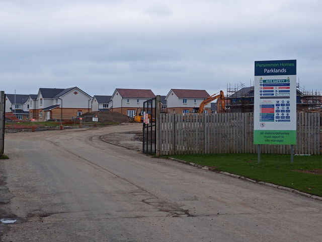
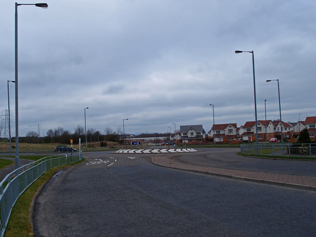
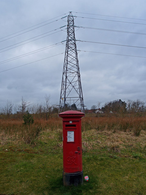
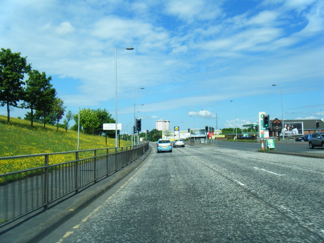
Attenuation Pond Images
Images are sourced within 2km of 55.820466/-4.3635724 or Grid Reference NS5261. Thanks to Geograph Open Source API. All images are credited.


Attenuation Pond is located at Grid Ref: NS5261 (Lat: 55.820466, Lng: -4.3635724)
Unitary Authority: City of Glasgow
Police Authority: Greater Glasgow
What 3 Words
///desire.hooks.dared. Near Barrhead, East Renfrewshire
Nearby Locations
Related Wikis

Roughmussel
Roughmussel is a neighbourhood in the Scottish city of Glasgow. It is situated south of the River Clyde near to the city boundaries with East Renfrewshire...

Hurlet
Hurlet (or The Hurlet) is a small semi-rural district and former mining village, straddling the Renfrewshire-East Renfrewshire-Glasgow border near the...

Nitshill
Nitshill (Scottish Gaelic: Cnoc nan Cnòthan) is a district on the south side of Glasgow. It is bordered by South Nitshill to the south, Darnley to the...
Househillwood
Househillwood is a residential neighbourhood of Glasgow, Scotland, situated in the south-west of the city. == Location and history == Househillwood is...
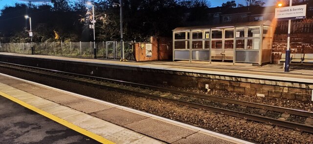
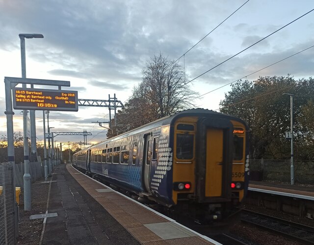
Nitshill railway station
Nitshill railway station is situated in Nitshill, a district of Glasgow, Scotland. The station is managed by ScotRail and is on the Glasgow South Western...

The Open Museum
The Open Museum is a community museum in Glasgow, Scotland. The Open Museum is run out of the Glasgow Museums Resource Centre. It brings museum collections...

South Nitshill
South Nitshill (Scottish Gaelic: Cnoc nan Cnòthan a Deas) is a neighbourhood in the Scottish city of Glasgow. It is situated south of the River Clyde,...

Priesthill
Priesthill (Scottish Gaelic: Cnoc an t-Sagairt) is a neighbourhood in the south of the River Clyde in the Scottish city of Glasgow. It falls under the...
Nearby Amenities
Located within 500m of 55.820466,-4.3635724Have you been to Attenuation Pond?
Leave your review of Attenuation Pond below (or comments, questions and feedback).