Belston Loch

Lake, Pool, Pond, Freshwater Marsh in Ayrshire

Scotland

Belston Loch

Farm track on bridge over dismantled railway
Farm track on bridge over dismantled railway Credit: Steven Brown

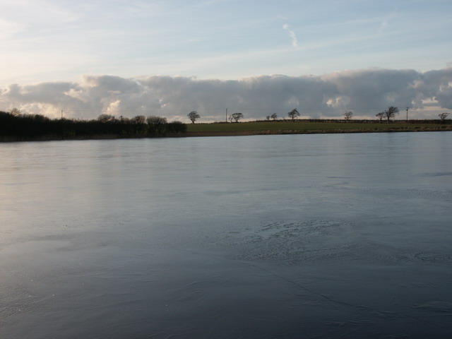
Belston Loch is a picturesque freshwater loch located in Ayrshire, Scotland. Situated amidst rolling green hills, it covers an area of approximately 10 hectares. Belston Loch serves as a prominent feature of the local landscape and offers a tranquil retreat for visitors seeking natural beauty and solace.

The loch is surrounded by a diverse range of vegetation, including reeds, rushes, and various aquatic plants. This lush growth provides a habitat for a wide array of wildlife, making it a popular spot for birdwatchers and nature enthusiasts. Common species that can be spotted here include ducks, swans, herons, and occasionally ospreys. The loch also supports a healthy population of fish, including pike and perch, making it a favored spot for anglers.

The calm and serene waters of Belston Loch offer opportunities for various recreational activities. Visitors can enjoy boating and kayaking, taking in the tranquil atmosphere while admiring the surrounding scenery. Walkers and cyclists can explore the loch's perimeter on the well-maintained trails, offering panoramic views of the area.

Belston Loch is easily accessible, with a designated car park and picnic area nearby. It attracts a mix of locals and tourists throughout the year, drawn by its natural beauty and the chance to immerse themselves in the peaceful ambiance. Whether one seeks a quiet day of fishing, a leisurely stroll, or simply a moment of tranquility, Belston Loch provides a serene escape amidst the stunning Ayrshire countryside.

If you have any feedback on the listing, please let us know in the comments section below.
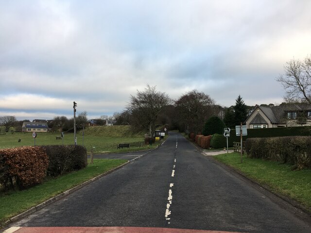
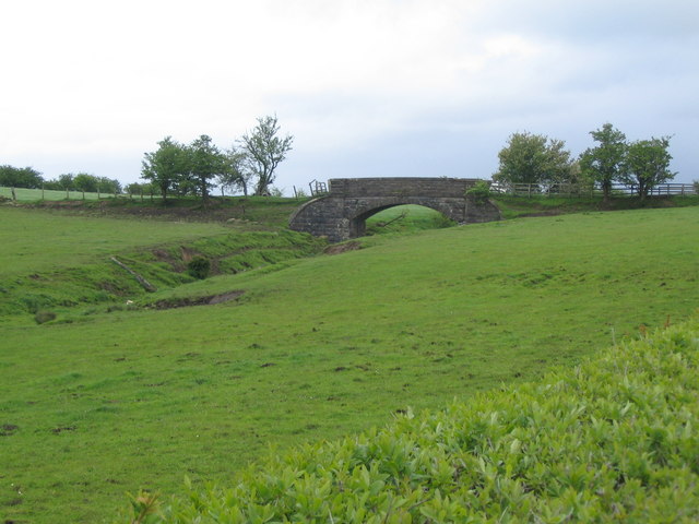
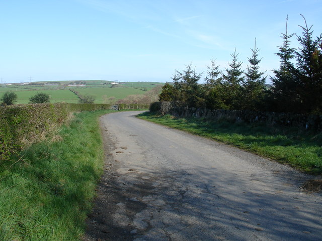
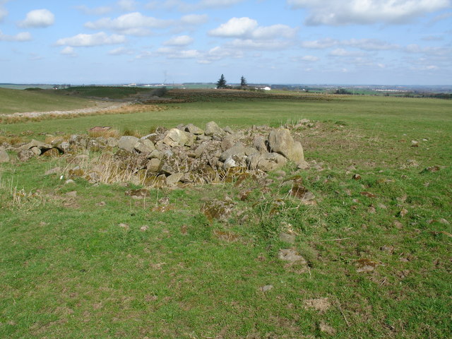
Belston Loch Images

Images are sourced within 2km of 55.422658/-4.4104631 or Grid Reference NS4716. Thanks to Geograph Open Source API. All images are credited.

Farm track on bridge over dismantled railway
Site access road near Sinclairston
Belston Loch fishery
Road junction at Sinclairston
Minor road near Drumjoan
Route of dismantled railway between Skares and Drongan
Barlosh Bridge A view looking northeast across farmland towards Barlosh Bridge, over the trackbed of the dismantled railway.
Barlosh Bridge
A view looking northeast across farmland towards Barlosh Bridge, over the trackbed of the dismantled railway.
Belston A view looking northeast along the B7046 towards Belston, with Belston Loch at right.
Belston
A view looking northeast along the B7046 towards Belston, with Belston Loch at right.
Sinclairston A view looking southeast over farmland towards the embankment of the dismantled railway and the abutments of the removed bridge over the B7046.
Sinclairston
A view looking southeast over farmland towards the embankment of the dismantled railway and the abutments of the removed bridge over the B7046.
old farm now demolished by opencast workings
Belston Loch Belston loch taken from near the middle when the loch was frozen with about 125mm ice.
Belston Loch
Belston loch taken from near the middle when the loch was frozen with about 125mm ice.
Polquhairn Farm
Polquhairn Farm
Drumjoan Garage
Drumjoan Garage
Treesmax Viewpoint
Treesmax Viewpoint
Bardarroch Farm
Bardarroch Farm
Auchencloigh Castle (Ruin) A few fallen fragments are all that remain of the C16th tower that was built on a small rise above the burn. Now reduced to a pile of rubble, even the nearby farmhouse that shares its name suffered a similar fate. The ground nearby (former opencast coal workings) meant the buildings were not treated with respect, is being returned to agricultural grazing land.
Auchencloigh Castle (Ruin)
A few fallen fragments are all that remain of the C16th tower that was built on a small rise above the burn. Now reduced to a pile of rubble, even the nearby farmhouse that shares its name suffered a similar fate. The ground nearby (former opencast coal workings) meant the buildings were not treated with respect, is being returned to agricultural grazing land.
Auchencloigh Loch Hopefully OS's next Landranger revision will show the true scale of this water feature, which now covers a greatly expanded area of this former opencast coal workings. The site has been returned to agricultural use, and warning signs give notice of water depths in excess of 100 metres.
Auchencloigh Loch
Hopefully OS's next Landranger revision will show the true scale of this water feature, which now covers a greatly expanded area of this former opencast coal workings. The site has been returned to agricultural use, and warning signs give notice of water depths in excess of 100 metres.
Old Railway Junction The old railway junction the branch to the right leads to the old Polquhairn Pit.
Old Railway Junction
The old railway junction the branch to the right leads to the old Polquhairn Pit.
Show me another place!

Belston Loch is located at Grid Ref: NS4716 (Lat: 55.422658, Lng: -4.4104631)

Unitary Authority: East Ayrshire

Police Authority: Ayrshire

What 3 Words

///puddles.overruns.loom. Near Drongan, East Ayrshire

Nearby Locations

Sinclairston Belston Loch

Related Wikis

Belston Loch

Belston Loch (NS 34894 16186), also recorded as Dromsmodda Loch is a small freshwater loch in the East Ayrshire Council Area, near Sinclairston, 2 miles...

Plaid Loch

Plaid Loch (NS 485186) was a freshwater loch in East Ayrshire, now a remnant due to drainage, near Sinclairston and 2 miles (3 km) south-east of Drongan...

Loch Shield

Loch Shield (NS 45521 19444), originally Loch of Scheel was a freshwater loch in the East Ayrshire Council Area, now drained, near Drongan, lying in a...

Drongan

Drongan is a former mining village in East Ayrshire, some 8 miles (13 km) east of Ayr and west of Cumnock. It had a population of 4686 in 2011. == History... ==

Nearby Amenities

Located within 500m of 55.422658,-4.4104631
Power: pole
Lat/Long: 55.4195305/-4.4160553
Power: pole
Lat/Long: 55.4201763/-4.4157929
Power: pole
Lat/Long: 55.4209738/-4.4154633
Power: pole
Lat/Long: 55.4217746/-4.4151324
Power: pole
Lat/Long: 55.4226052/-4.4147727
Power: pole
Lat/Long: 55.4234255/-4.4144244
Power: pole
Lat/Long: 55.424283/-4.4140489
Power: pole
Lat/Long: 55.425044/-4.4137205
Power: pole
Lat/Long: 55.4258452/-4.4133748
Power: pole
Lat/Long: 55.4266744/-4.4130129
Power: pole
Lat/Long: 55.4210967/-4.4149899
Power: pole
Lat/Long: 55.420944/-4.4136824
Power: pole
Lat/Long: 55.4208002/-4.4124293
Power: pole
Lat/Long: 55.4206603/-4.411192
Power: pole
Lat/Long: 55.4205152/-4.4097013
Power: pole
Lat/Long: 55.4199901/-4.4115087
Power: pole
Lat/Long: 55.4193277/-4.4118118
Power: pole
Lat/Long: 55.4186652/-4.4121171
Power: pole
Lat/Long: 55.4246771/-4.4122415
The data included in this document is from www.openstreetmap.org. The data is made available under ODbL.

Have you been to Belston Loch?

Leave your review of Belston Loch below (or comments, questions and feedback).