Harelaw Dam
Lake, Pool, Pond, Freshwater Marsh in Renfrewshire
Scotland
Harelaw Dam
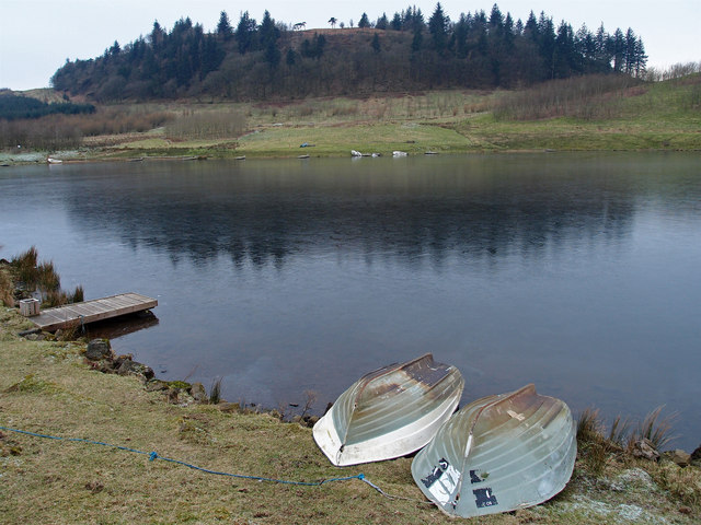
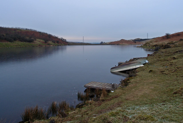
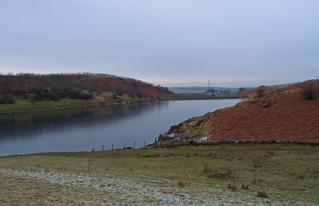
Harelaw Dam is a freshwater reservoir located in Renfrewshire, Scotland. Covering an area of approximately 40 acres, it is a man-made lake that serves as a vital water resource for the surrounding communities. The dam was constructed in the early 20th century to meet the increasing demand for water supply in the region.
The dam is nestled amidst a picturesque landscape, surrounded by rolling hills and lush greenery. It is a popular spot for outdoor enthusiasts, offering recreational activities such as fishing, boating, and birdwatching. The calm and serene atmosphere makes it an ideal location for those seeking a peaceful escape from the hustle and bustle of city life.
The reservoir at Harelaw Dam is home to various species of fish, including brown trout, rainbow trout, and perch, making it a prime destination for anglers. Fishing permits are required to fish in the reservoir, ensuring the conservation of fish populations and the sustainability of the ecosystem.
The area surrounding the dam is also abundant in wildlife. Visitors can spot a variety of bird species, including ducks, geese, swans, and herons, making it a haven for birdwatchers. The freshwater marshes surrounding the dam provide a suitable habitat for numerous plant and animal species, contributing to the biodiversity of the area.
Harelaw Dam is not only a recreational hotspot but also plays a crucial role in supplying water to the local communities. It serves as a reliable water source for domestic use, agricultural irrigation, and industrial purposes, supporting the region's development and sustainability.
If you have any feedback on the listing, please let us know in the comments section below.
Harelaw Dam Images
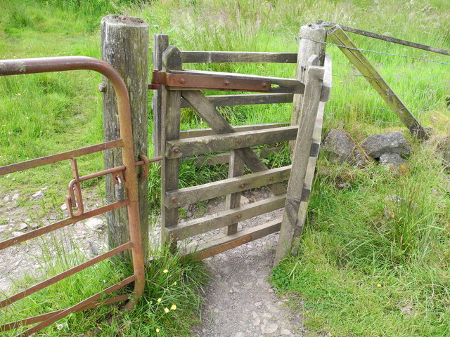
Images are sourced within 2km of 55.752694/-4.4309953 or Grid Reference NS4753. Thanks to Geograph Open Source API. All images are credited.


Harelaw Dam is located at Grid Ref: NS4753 (Lat: 55.752694, Lng: -4.4309953)
Unitary Authority: East Renfrewshire
Police Authority: Greater Glasgow
What 3 Words
///myth.collision.cherubs. Near Neilston, East Renfrewshire
Nearby Locations
Related Wikis

Craighall Reservoir
Craighall Reservoir, known locally as Craighall Dam, is one of a number of small reservoirs, situated around Neilston in East Renfrewshire, Scotland. The...

Neilston Pad
Neilston Pad, referred to locally as The Pad, is a distinctive hill in East Renfrewshire, situated a mile (1.5 km) south of the village of Neilston. Its...

Neilston F.C.
Neilston Football Club are a Scottish football club based in Neilston, East Renfrewshire who currently play in the West of Scotland League First Division...
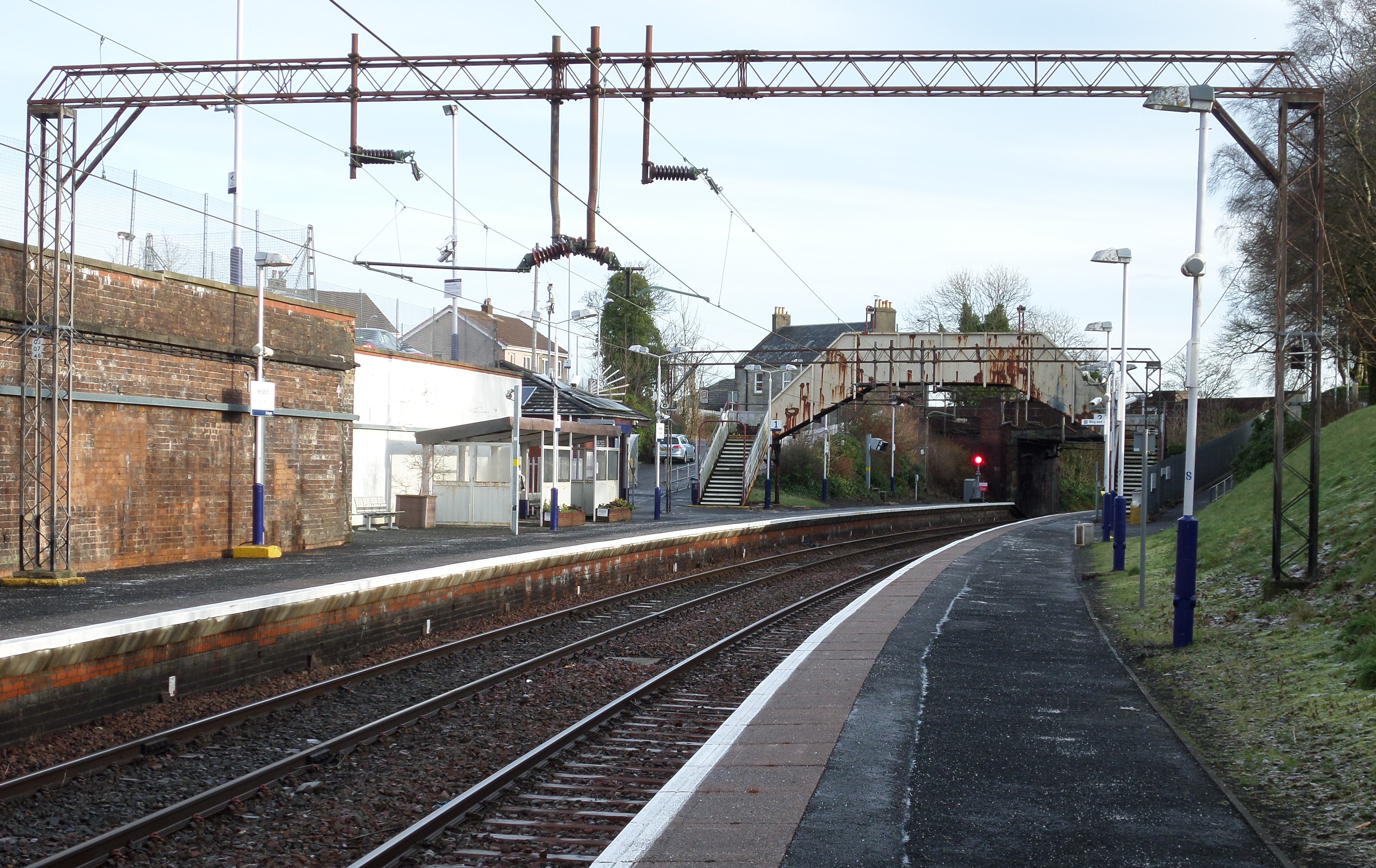
Neilston railway station
Neilston railway station is a railway station in the village of Neilston, East Renfrewshire, Greater Glasgow, Scotland. The station is managed by ScotRail...
Nearby Amenities
Located within 500m of 55.752694,-4.4309953Have you been to Harelaw Dam?
Leave your review of Harelaw Dam below (or comments, questions and feedback).