Commore Dam

Lake, Pool, Pond, Freshwater Marsh in Renfrewshire

Scotland

Commore Dam

Neilstonside Hill Looking over the now partially planted up Dingle Bog.
Neilstonside Hill Credit: wfmillar

Commore Dam is a freshwater reservoir located in Renfrewshire, Scotland. It is a man-made structure designed to collect and store water for various purposes, including irrigation, drinking water supply, and hydroelectric power generation. The dam is situated on the Black Cart Water, a river that flows through the region.

The reservoir formed behind the dam is often referred to as Commore Lake, Commore Pool, or Commore Pond. It covers a significant area and provides a picturesque landscape, attracting nature enthusiasts and visitors alike. The calm and serene waters of the lake offer opportunities for various recreational activities, such as boating, fishing, and birdwatching.

Surrounding the lake is a freshwater marsh, a wetland ecosystem characterized by the presence of a variety of aquatic plants, such as reeds, cattails, and water lilies. This marsh provides a habitat for numerous species of birds, amphibians, and insects, contributing to the biodiversity of the area.

Commore Dam plays a crucial role in ensuring a stable water supply for the region. It collects and stores water during periods of high rainfall, making it available during drier months. Additionally, the dam's hydroelectric power station generates renewable energy, contributing to the local power grid.

Overall, Commore Dam, with its associated lake, pool, pond, and freshwater marsh, offers a beautiful natural environment for both recreational activities and the conservation of wildlife.

If you have any feedback on the listing, please let us know in the comments section below.
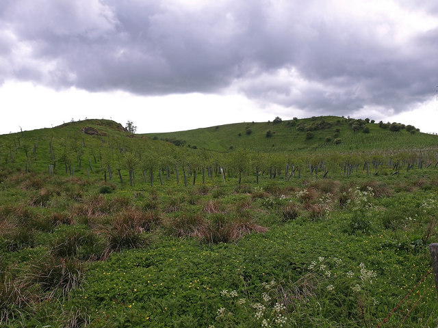
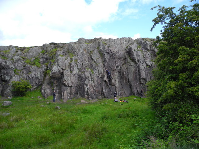
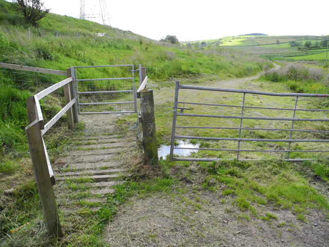
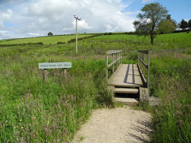
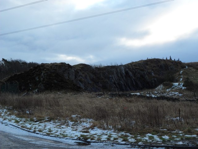
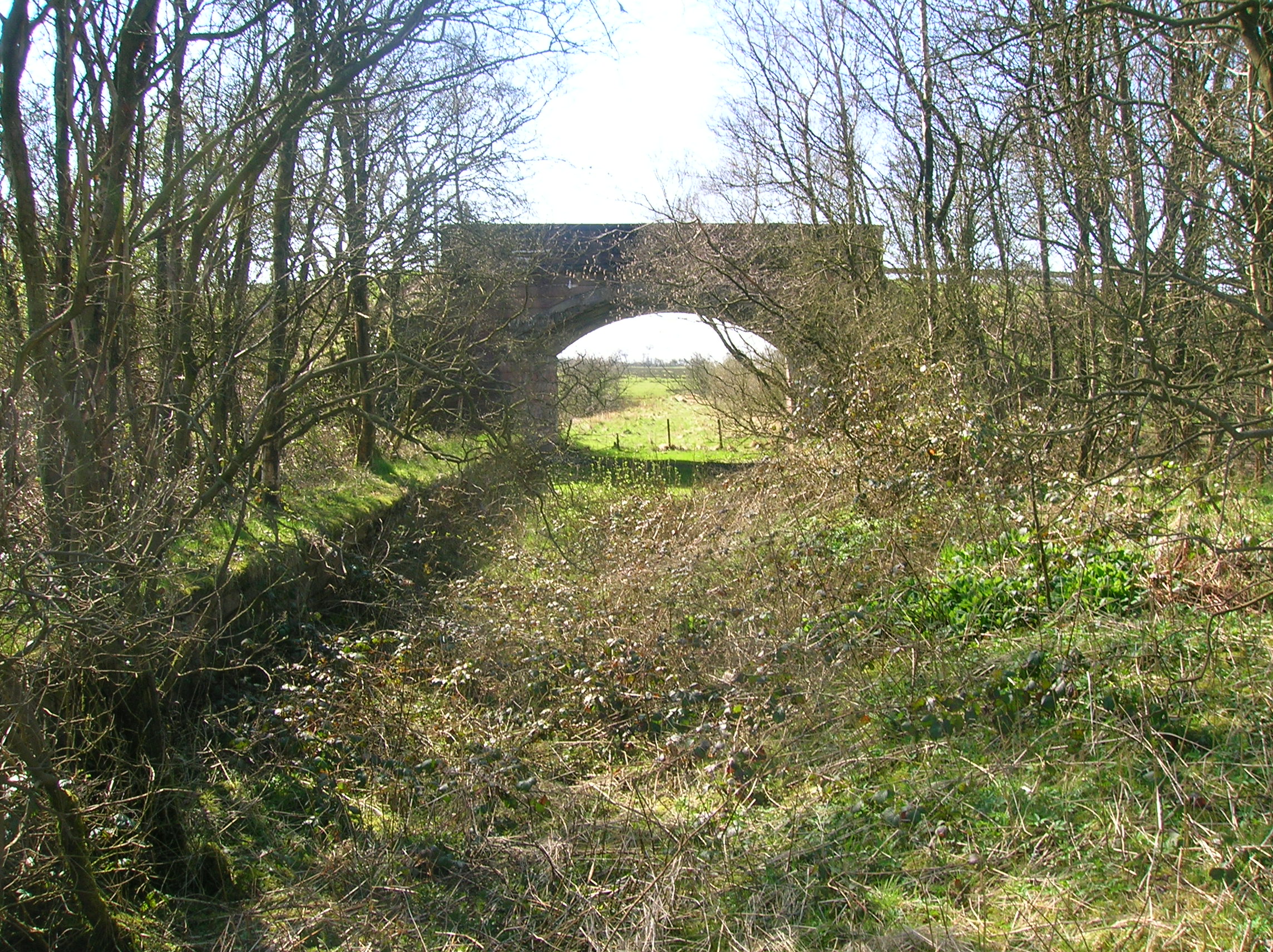
Commore Dam Images

Images are sourced within 2km of 55.759068/-4.4539627 or Grid Reference NS4654. Thanks to Geograph Open Source API. All images are credited.

Neilstonside Hill Looking over the now partially planted up Dingle Bog.
Neilstonside Hill
Looking over the now partially planted up Dingle Bog.
Neilston Quarry A disused quarry north of the hill called Neiston Pad is popular with local rock climbers. The rock is dolerite and quite smooth and slippery.
Neilston Quarry
A disused quarry north of the hill called Neiston Pad is popular with local rock climbers. The rock is dolerite and quite smooth and slippery.
North entrance to Neilstonside Path This new path runs beside the Levern Water, through a new plantation. It is a pleasant walk though wet and boggy in places.
North entrance to Neilstonside Path
This new path runs beside the Levern Water, through a new plantation. It is a pleasant walk though wet and boggy in places.
Bridge over Levern Water The new Neilstonside Path crosses the Levern Water here on its route through a new plantation. Nice for pedestrians but not so easy for prams or wheelchairs.
Bridge over Levern Water
The new Neilstonside Path crosses the Levern Water here on its route through a new plantation. Nice for pedestrians but not so easy for prams or wheelchairs.
Gate on Neilston Pad track Slim people only allowed on this walk! Neilston Pad has been a popular spot for walkers and picnickers for at least a century. Recently more woodland planting has been done and the walks publicised.
Gate on Neilston Pad track
Slim people only allowed on this walk! Neilston Pad has been a popular spot for walkers and picnickers for at least a century. Recently more woodland planting has been done and the walks publicised.
Carswell Hill View from minor road across sheep grazing fields.
Carswell Hill
View from minor road across sheep grazing fields.
Sheep Grazing Fields View over Carswell Farm to the mountains. Ben Lomond above the gate.
Sheep Grazing Fields
View over Carswell Farm to the mountains. Ben Lomond above the gate.
Moyne Moor Telephoto view over Moyne Farm (bottom right) to the snow covered mountains. Tallest in centre being Stob Bennein with Stob Coire an Lochain front right of it. Approximately 71Km away from photographers position.
Moyne Moor
Telephoto view over Moyne Farm (bottom right) to the snow covered mountains. Tallest in centre being Stob Bennein with Stob Coire an Lochain front right of it. Approximately 71Km away from photographers position.
Minor Road, between Uplawmoor and Neilston Oak tree and Dareduff Hill.
Minor Road, between Uplawmoor and Neilston
Oak tree and Dareduff Hill.
Isolated Big Bale Adjacent to the minor road between Uplawmoor and Neilston. Dareduff Hill in the distance.
Isolated Big Bale
Adjacent to the minor road between Uplawmoor and Neilston. Dareduff Hill in the distance.
Rubbish beside the Dunlop-Neilston road A little layby at the side of this road is convenient for Craighall Dam and walks round Neilston Pad. It also seems to be a dumping ground for a remarkable array of domestic rubbish as well as the expected drinks bottles etc. At upper right we see the road as it heads south.
Rubbish beside the Dunlop-Neilston road
A little layby at the side of this road is convenient for Craighall Dam and walks round Neilston Pad. It also seems to be a dumping ground for a remarkable array of domestic rubbish as well as the expected drinks bottles etc. At upper right we see the road as it heads south.
Stile on Neilston Pad track Neilston Pad is covered in well-frequented paths not show on OS maps. This one runs across the north side of the hill, entering the forest at the photographer's back, and has a sufficiently official existence to have been provided with a stile. Look closely on this side and you will see that the legs have broken off from the feet at the bottom so the stile is pretty wobbly in use.
Stile on Neilston Pad track
Neilston Pad is covered in well-frequented paths not show on OS maps. This one runs across the north side of the hill, entering the forest at the photographer's back, and has a sufficiently official existence to have been provided with a stile. Look closely on this side and you will see that the legs have broken off from the feet at the bottom so the stile is pretty wobbly in use.
Path round Craighall Dam Walkers can circle Craighall Dam on a path of varying quality. Here the path, crossing the bottom of the picture, turns the corner at the south-west corner of the Dam having come through the gap between the two groups of trees.
Path round Craighall Dam
Walkers can circle Craighall Dam on a path of varying quality. Here the path, crossing the bottom of the picture, turns the corner at the south-west corner of the Dam having come through the gap between the two groups of trees.
Bench beside Craighall Dam Originally the bench enjoyed a fine view over Craighall Dam but the trees planted in front of it have grown and the loch is now hidden. It can be glimpsed looking back along the path in <a href="https://www.geograph.org.uk/photo/2878797">NS4654 : Path round Craighall Dam</a>.
Bench beside Craighall Dam
Originally the bench enjoyed a fine view over Craighall Dam but the trees planted in front of it have grown and the loch is now hidden. It can be glimpsed looking back along the path in NS4654 : Path round Craighall Dam.
Reeds on the edge of Craighall Dam
Neilston Pad Neilston Pad is a modest, flat-topped hill, steep on three sides and particularly to the east, just south of the town of Neilston. Geologically it is a volcanic plug. Like many other isolated, steep wee hills of this kind its summit gives great views and it is conspicuous from quite a long way off (e.g. looking straight down Byres Road in Glasgow's West End). Just beyond we see Craighall Dam.
Neilston Pad
Neilston Pad is a modest, flat-topped hill, steep on three sides and particularly to the east, just south of the town of Neilston. Geologically it is a volcanic plug. Like many other isolated, steep wee hills of this kind its summit gives great views and it is conspicuous from quite a long way off (e.g. looking straight down Byres Road in Glasgow's West End). Just beyond we see Craighall Dam.
Path on the east side of Neilston Pad The east side of Neilston Pad is pretty steep, and covered in trees. Just before it starts to climb steeply, a pleasant path runs along the bottom edge of the trees.
Path on the east side of Neilston Pad
The east side of Neilston Pad is pretty steep, and covered in trees. Just before it starts to climb steeply, a pleasant path runs along the bottom edge of the trees.
Rock outcrop, Craig of Neilston
Show me another place!

Commore Dam is located at Grid Ref: NS4654 (Lat: 55.759068, Lng: -4.4539627)

Unitary Authority: East Renfrewshire

Police Authority: Greater Glasgow

What 3 Words

///doses.resort.riverbed. Near Neilston, East Renfrewshire

Related Wikis

Craighall Reservoir

Craighall Reservoir, known locally as Craighall Dam, is one of a number of small reservoirs, situated around Neilston in East Renfrewshire, Scotland. The...

Neilston Pad

Neilston Pad, referred to locally as The Pad, is a distinctive hill in East Renfrewshire, situated a mile (1.5 km) south of the village of Neilston. Its...

Shillford

Shillford or Shilford is a hamlet to the south-west of Barrhead on the Lochlibo Road in East Renfrewshire near Uplawmoor, Scotland in the parish of Neilston...

Uplawmoor (L&A) railway station

Uplawmoor railway station was a railway station serving the village of Uplawmoor, East Renfrewshire, Scotland as part of the Lanarkshire and Ayrshire Railway...

Nearby Amenities

Located within 500m of 55.759068,-4.4539627
Power: pole
Lat/Long: 55.7617875/-4.4523943
Power: pole
Lat/Long: 55.7623229/-4.452171
Power: pole
Lat/Long: 55.7628512/-4.4519457
The data included in this document is from www.openstreetmap.org. The data is made available under ODbL.

Have you been to Commore Dam?

Leave your review of Commore Dam below (or comments, questions and feedback).