An Dubh-lochan
Lake, Pool, Pond, Freshwater Marsh in Ross-shire
Scotland
An Dubh-lochan
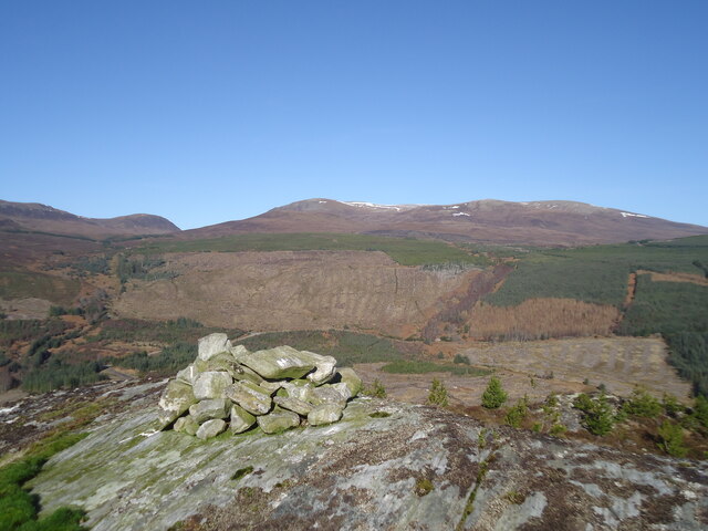
An Dubh-lochan, located in Ross-shire, Scotland, is a picturesque freshwater lochan (small lake) surrounded by rolling hills and stunning natural beauty. The name "An Dubh-lochan" translates to "the black lochan" in Gaelic, which refers to the dark color of its water caused by the surrounding peat soil.
Covering an area of approximately 5 acres, An Dubh-lochan is a relatively small body of water. It is known for its calm and tranquil atmosphere, making it a popular spot for nature lovers and photographers seeking solitude and a chance to capture the beauty of the Scottish Highlands.
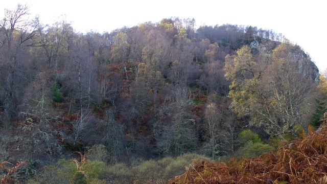
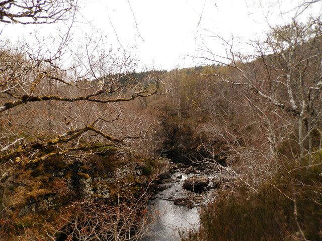
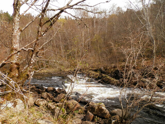
The lochan is surrounded by a diverse range of vegetation, including heather, grasses, and mosses, which create a vibrant and colorful landscape. The area is also home to a variety of wildlife, such as ducks, geese, and other waterfowl that can often be seen swimming or nesting along the shores of the lochan.
An Dubh-lochan is an excellent destination for fishing enthusiasts, as it is known to be populated with brown trout. Anglers can enjoy a peaceful day on the water, casting their lines in search of a catch.
Accessible via a short walk from the nearest road, An Dubh-lochan offers visitors a chance to immerse themselves in the natural beauty of the Scottish Highlands. It is a hidden gem tucked away in Ross-shire, providing a serene and tranquil escape from the hustle and bustle of everyday life.
If you have any feedback on the listing, please let us know in the comments section below.
An Dubh-lochan Images
Images are sourced within 2km of 57.590892/-4.5765295 or Grid Reference NH4658. Thanks to Geograph Open Source API. All images are credited.


An Dubh-lochan is located at Grid Ref: NH4658 (Lat: 57.590892, Lng: -4.5765295)
Unitary Authority: Highland
Police Authority: Highlands and Islands
What 3 Words
///doubts.showcases.papers. Near Strathpeffer, Highland
Nearby Locations
Related Wikis
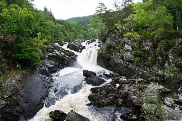
Rogie Falls
Rogie Falls (Gaelic: Eas Rothagaidh) are a series of waterfalls on the Black Water, a river in Ross-shire in the Highlands of Scotland. The falls are about...

Strathpeffer
Strathpeffer (Scottish Gaelic: Srath Pheofhair) is a village and spa town in Ross and Cromarty, Highland, Scotland, with a population of 1,469. == Geography... ==

Battle of Blar Na Pairce
The Battle of Blar na Pairce (Scottish Gaelic: Blàr na Pàirce "Battle of the Park") was a Scottish clan battle that took place just outside Strathpeffer...

Strathpeffer Pavilion
Strathpeffer Spa Pavilion (grid reference NH485583) was commissioned by the Countess of Cromartie in the late 19th century, to serve as a social and entertainment...
Have you been to An Dubh-lochan?
Leave your review of An Dubh-lochan below (or comments, questions and feedback).