Gold Tops
Settlement in Monmouthshire
Wales
Gold Tops

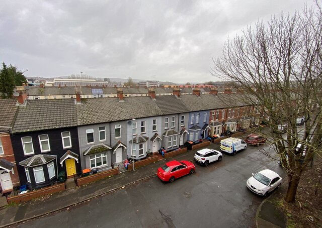
Gold Tops is a neighborhood located in the county of Monmouthshire, Wales. Situated on the outskirts of the town of Newport, it is a predominantly residential area known for its attractive surroundings and convenient amenities.
The name "Gold Tops" is believed to originate from the prominent golden color of the fields that surround the area during the summer months. These fields are often used for agricultural purposes, contributing to the rural charm of the neighborhood. Additionally, Gold Tops benefits from its proximity to the nearby countryside, offering residents the opportunity to enjoy nature walks and outdoor activities.
The neighborhood is well-connected to the town of Newport, with excellent transport links including a nearby train station and easy access to major roads and highways. This makes it an ideal location for commuters working in Newport or other nearby cities such as Cardiff or Bristol.
Gold Tops offers a range of amenities to its residents, including a variety of shops, supermarkets, and restaurants in the nearby area. There are also recreational facilities such as parks and sports clubs, providing opportunities for leisure and social activities.
The housing in Gold Tops consists mainly of detached and semi-detached houses, with a mix of traditional and modern architectural styles. The neighborhood has a friendly community atmosphere, with a number of local events and activities organized throughout the year.
Overall, Gold Tops in Monmouthshire is a picturesque and conveniently located neighborhood, offering a peaceful residential setting with easy access to amenities and nearby urban centers.
If you have any feedback on the listing, please let us know in the comments section below.
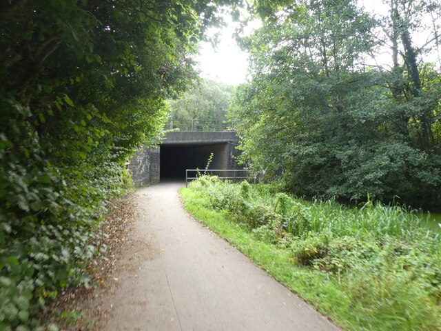
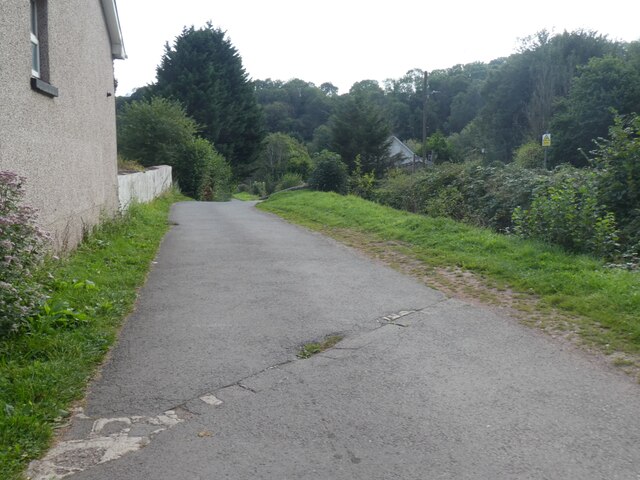
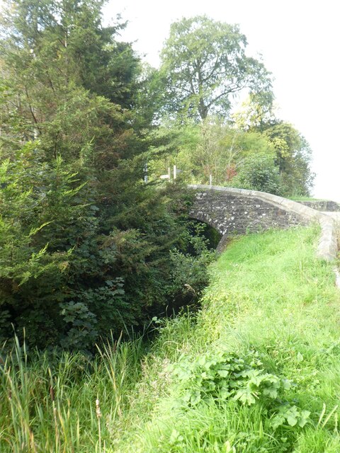
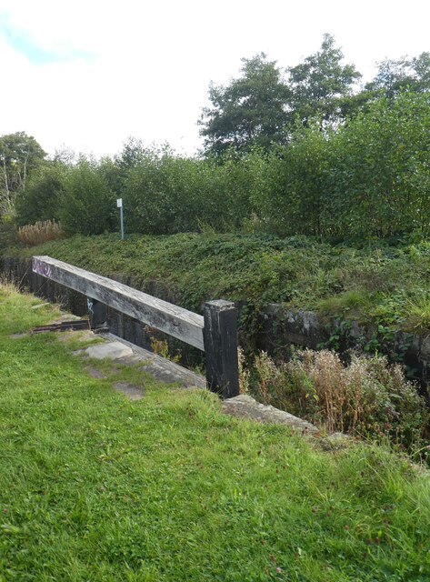
Gold Tops Images
Images are sourced within 2km of 51.589756/-3.002912 or Grid Reference ST3088. Thanks to Geograph Open Source API. All images are credited.


Gold Tops is located at Grid Ref: ST3088 (Lat: 51.589756, Lng: -3.002912)
Unitary Authority: Newport
Police Authority: Gwent
What 3 Words
///rank.gear.cubes. Near Newport
Nearby Locations
Related Wikis

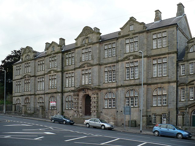
St Mark's Church, Newport
The Church of St Mark is a Church in Wales (Anglican) church located on Gold Tops, in the Allt-yr-yn area of Newport, Wales. It is a Newport landmark and...
Shire Hall, Newport
The Shire Hall (Welsh: Neuadd y Sir, Casnewydd) is a municipal building in Newport, south Wales. It is a Grade II listed building. == History == Following...

Newport railway station
Newport (Welsh: Gorsaf Rheilffordd Casnewydd) is the second-busiest railway station in Wales, after Cardiff Central). It is situated in Newport city centre...

Newport Crown Court
Newport Crown Court is a Crown Court venue which deals with criminal cases at Faulkner Road in Newport in South Wales. == History == Until the early 1990s...

Newport Civic Centre
Newport Civic Centre (Welsh: Canolfan Ddinesig Casnewydd) is a municipal building in Godfrey Road in Newport, South Wales. The civic centre, which is the...
Newport, Wales
Newport (Welsh: Casnewydd; [kasˈnɛwɨð]) is a city and county borough in Wales, situated on the River Usk close to its confluence with the Severn Estuary...

District of Newport
The Newport district (Welsh: Casnewydd) is a principal area of Wales, it was one of the five local government districts of Gwent from 1974 to 1996. The...

Baneswell
Baneswell is an inner-city district in the city of Newport, South Wales. It is in the electoral ward of Stow Hill, and located next to the city centre...
Nearby Amenities
Located within 500m of 51.589756,-3.002912Have you been to Gold Tops?
Leave your review of Gold Tops below (or comments, questions and feedback).