Loch Dubh
Lake, Pool, Pond, Freshwater Marsh in Sutherland
Scotland
Loch Dubh

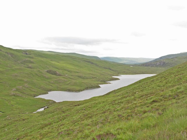
Loch Dubh is a picturesque freshwater loch located in Sutherland, a county in the northernmost part of the Scottish Highlands. Spanning around 2.5 square kilometers, it is nestled amidst the rugged and breathtaking landscape of the region. Loch Dubh is known for its tranquil surroundings and crystal-clear waters, making it a popular destination for nature enthusiasts and anglers alike.
Surrounded by rolling hills and dense forests, Loch Dubh offers a serene and peaceful atmosphere. The loch is fed by several small streams, ensuring a constant flow of freshwater. Its depths vary, with some areas reaching up to 15 meters, providing a diverse habitat for various species of aquatic life.
The shores of Loch Dubh are lined with lush vegetation, including reeds and grasses, which create a freshwater marsh environment. This marshland supports a rich biodiversity, attracting a wide range of birds and insects. Visitors to Loch Dubh can often spot species such as herons, ducks, geese, and dragonflies, adding to the natural beauty of the area.
The loch is also renowned for its fishing opportunities. Anglers flock to Loch Dubh in search of brown trout, which thrive in its pristine waters. The calm and peaceful nature of the loch, combined with the abundant fish population, make it an ideal spot for both experienced and novice fishermen.
Overall, Loch Dubh is a captivating freshwater feature in Sutherland, offering a harmonious blend of natural beauty and recreational opportunities. Its tranquil ambiance and diverse wildlife make it a must-visit destination for those seeking a peaceful retreat in the heart of the Scottish Highlands.
If you have any feedback on the listing, please let us know in the comments section below.
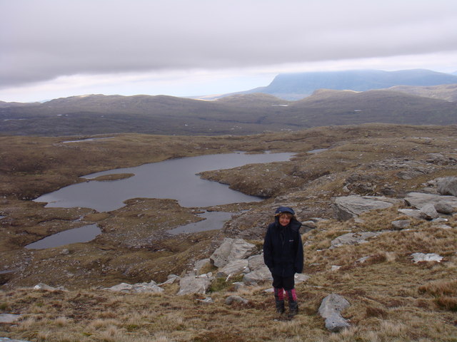
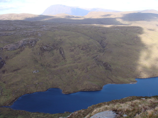
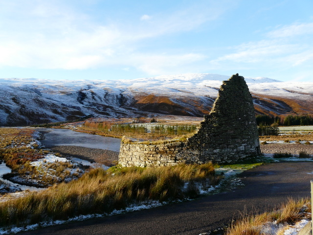
Loch Dubh Images
Images are sourced within 2km of 58.371818/-4.7367887 or Grid Reference NC4045. Thanks to Geograph Open Source API. All images are credited.


Loch Dubh is located at Grid Ref: NC4045 (Lat: 58.371818, Lng: -4.7367887)
Unitary Authority: Highland
Police Authority: Highlands and Islands
What 3 Words
///liver.ground.masts. Near Altnaharra, Highland
Nearby Locations
Related Wikis

Loch Dionard
Loch Dionard is a medium-sized loch in the Durness Parish, in Sutherland, Highland Council Area, Northern Scotland. It is in the North-Western Highlands...
Strathmore, Sutherland
Strathmore or An Srath Mòr is a strath or wide valley in Sutherland in northern Scotland. The strath is in the parish of Durness to the south-east of Loch...
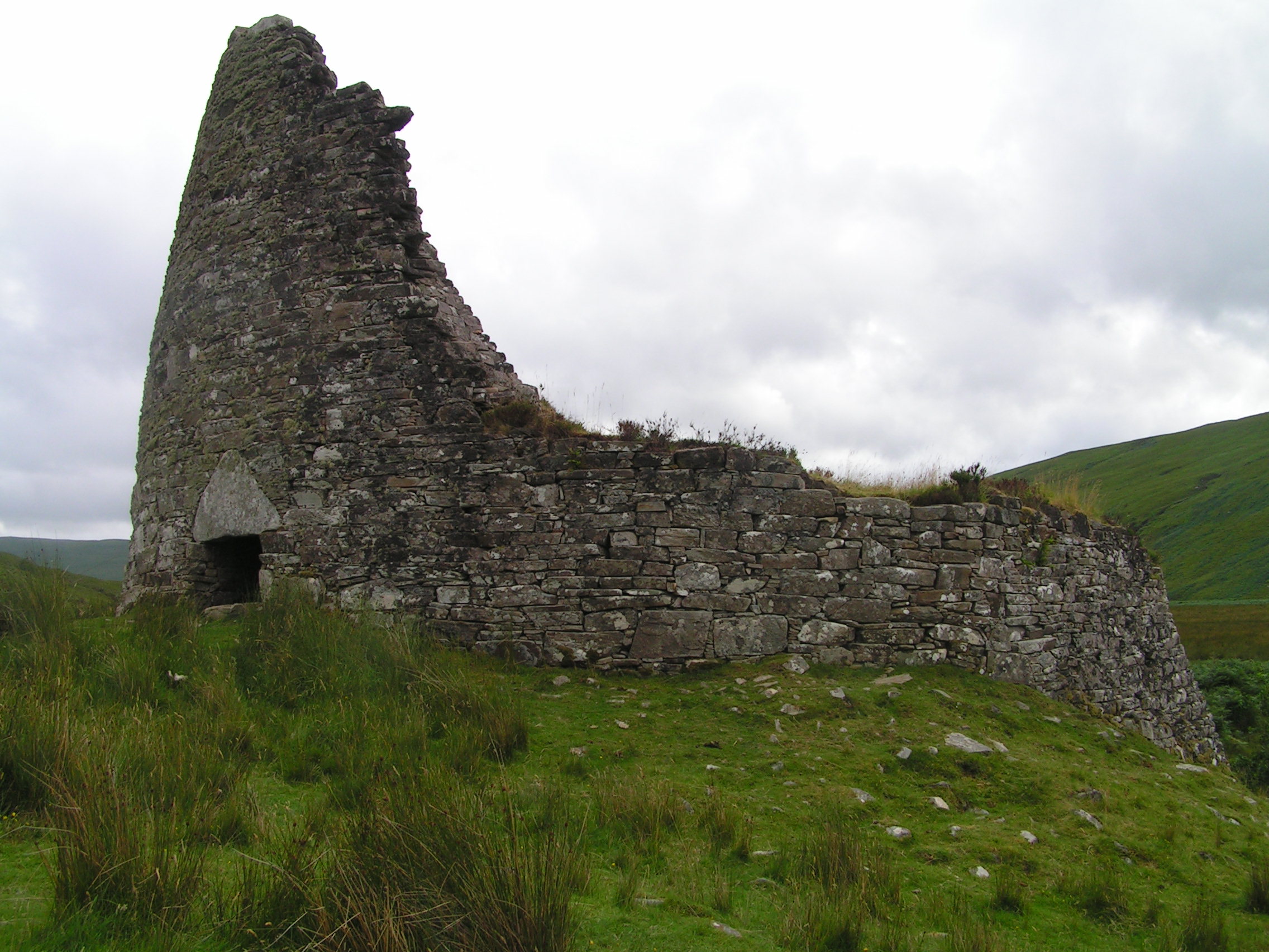
Dun Dornaigil
Dun Dornaigil is an Iron Age broch in Sutherland in the Scottish Highlands (grid reference NC45714501). It is in Strathmore on the eastern bank of the...
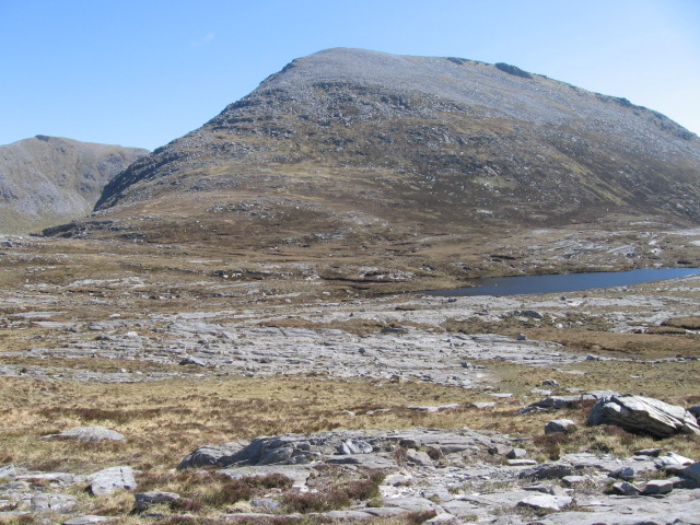
Meallan Liath Coire Mhic Dhùghaill
Meallan Liath Coire Mhic Dhughaill (801 m) is a mountain in the Northwest Highlands, Scotland. It lies in the far north of Scotland between Lairg and Durness...
Have you been to Loch Dubh?
Leave your review of Loch Dubh below (or comments, questions and feedback).