Loch na Fèithe Buidhe

Lake, Pool, Pond, Freshwater Marsh in Inverness-shire

Scotland

Loch na Fèithe Buidhe

River Farrar at Struy
River Farrar at Struy Credit: Mike Pennington

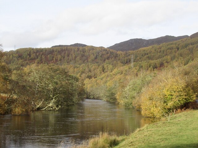
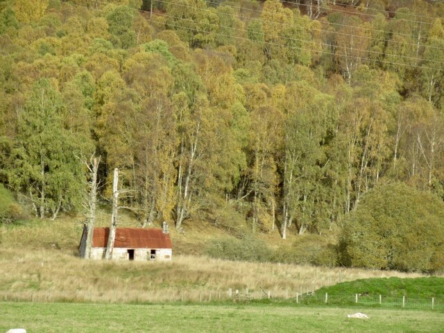
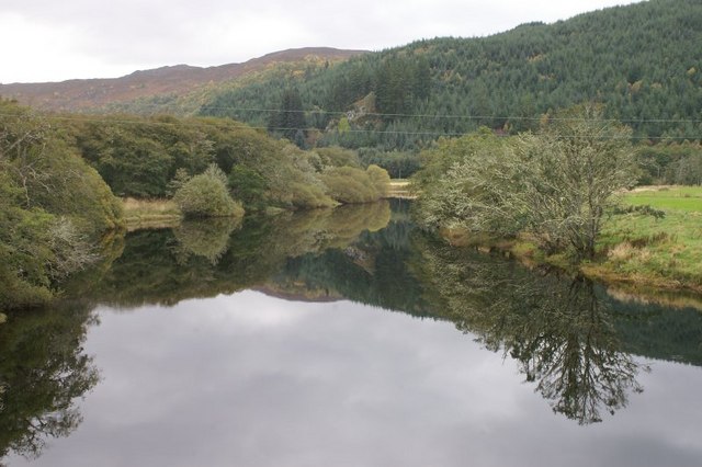
Loch na Fèithe Buidhe is a small freshwater loch located in Inverness-shire, Scotland. The loch is situated within a tranquil and picturesque setting, surrounded by rolling hills and lush greenery. It is a popular spot for fishing, with a variety of freshwater fish species such as trout and perch found in its waters.

The loch is also home to a diverse range of bird species, making it a haven for birdwatchers and nature enthusiasts. Visitors can often spot ducks, swans, and other waterfowl gliding across the water or nesting along the shoreline.

The surrounding area of Loch na Fèithe Buidhe is rich in biodiversity, with a variety of plant species thriving in the marshy areas surrounding the loch. This creates a unique and vibrant ecosystem that supports a wide range of wildlife.

Overall, Loch na Fèithe Buidhe offers a peaceful and serene escape from the hustle and bustle of everyday life, providing visitors with a chance to connect with nature and enjoy the beauty of the Scottish countryside.

If you have any feedback on the listing, please let us know in the comments section below.

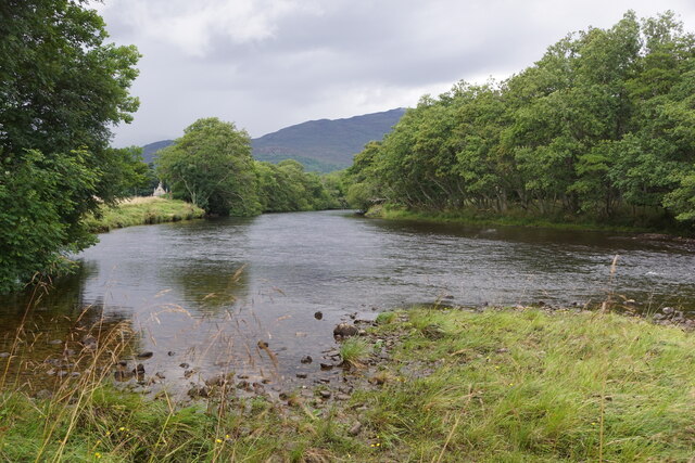
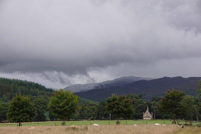
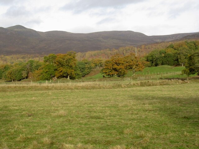
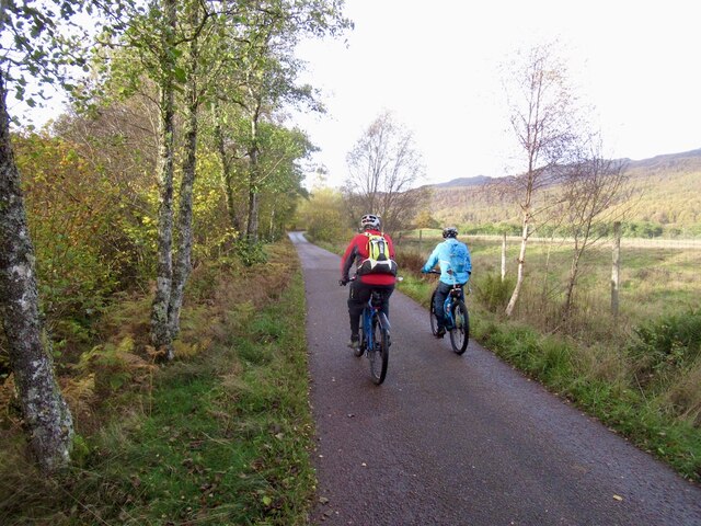
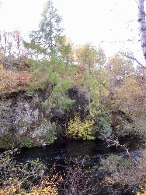
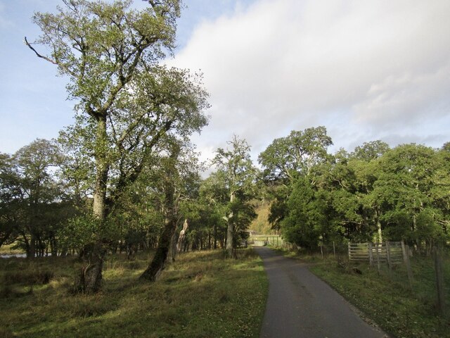
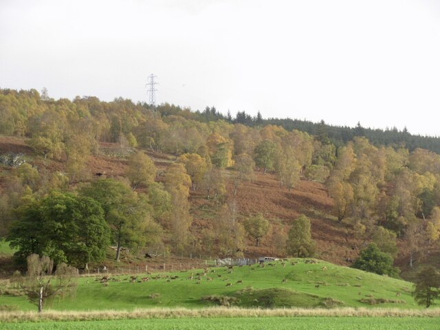
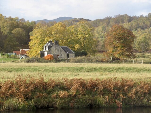
Loch na Fèithe Buidhe Images

Images are sourced within 2km of 57.436394/-4.6665696 or Grid Reference NH4041. Thanks to Geograph Open Source API. All images are credited.

River Farrar at Struy
Struy kirk Looking up Glen Strathfarrar.
Struy kirk
Looking up Glen Strathfarrar.
Deer farm. Glen Strathfarrar Near "The Gate".
Deer farm. Glen Strathfarrar
Near "The Gate".
The road up Glen Strathfarrar It is always open to bikes, but closed in Winter and on Tuesdays (Check as this can change) to cars. Here the road runs close to the river and beside a deer farm.
The road up Glen Strathfarrar
It is always open to bikes, but closed in Winter and on Tuesdays (Check as this can change) to cars. Here the road runs close to the river and beside a deer farm.
River Farrar
River Farrar
Glen Strathfarrar road At Culligran.
Glen Strathfarrar road
At Culligran.
Deer farm, Glen Strathfarrar
Dunmaglas, Glen Strathfarrar
River Farrar, Culligran
Ruin, Culligran
Ruin, Culligran
The Gate - Glen Strathfarrar Motorised access is restricted to 25 cars a day in the Summer months. It is also home to one of the more misleading signs in Scotland - did it get put on the wrong side?  The road up the glen is of high quality, the roads in the outside world are home to many potholes.
The Gate - Glen Strathfarrar
Motorised access is restricted to 25 cars a day in the Summer months. It is also home to one of the more misleading signs in Scotland - did it get put on the wrong side? The road up the glen is of high quality, the roads in the outside world are home to many potholes.
Track into Erchless Forest
Chisholm cemetery, Erchless The graves of the chiefs of Clan Chisholm, Celtic crosses and a granite obelisk.

The cemetery is a Category C listed building. <span class="nowrap"><a title="https://portal.historicenvironment.scot/designation/LB8103" rel="nofollow ugc noopener" href="https://portal.historicenvironment.scot/designation/LB8103">Link</a><img style="margin-left:2px;" alt="External link" title="External link - shift click to open in new window" src="https://s1.geograph.org.uk/img/external.png" width="10" height="10"/></span>
Chisholm cemetery, Erchless
The graves of the chiefs of Clan Chisholm, Celtic crosses and a granite obelisk. The cemetery is a Category C listed building. LinkExternal link
Walled garden, Erchless Inside the walled garden. A large area, now abandoned and overgrown.
The small brick building would have provided heating for the greenhouses.

The walled garden is Category B listed. <span class="nowrap"><a title="https://portal.historicenvironment.scot/designation/LB8102" rel="nofollow ugc noopener" href="https://portal.historicenvironment.scot/designation/LB8102">Link</a><img style="margin-left:2px;" alt="External link" title="External link - shift click to open in new window" src="https://s1.geograph.org.uk/img/external.png" width="10" height="10"/></span>
Walled garden, Erchless
Inside the walled garden. A large area, now abandoned and overgrown. The small brick building would have provided heating for the greenhouses. The walled garden is Category B listed. LinkExternal link
Erchless avenue The west drive from Erchless Castle towards Struy Bridge. A tree-lined track.
Erchless avenue
The west drive from Erchless Castle towards Struy Bridge. A tree-lined track.
Stable and steading, Erchless castle A large square building, including stables, a carriage house and a row of houses. It dates from circa 1815, and is Category B listed. <span class="nowrap"><a title="https://portal.historicenvironment.scot/designation/LB8101" rel="nofollow ugc noopener" href="https://portal.historicenvironment.scot/designation/LB8101">Link</a><img style="margin-left:2px;" alt="External link" title="External link - shift click to open in new window" src="https://s1.geograph.org.uk/img/external.png" width="10" height="10"/></span>
Stable and steading, Erchless castle
A large square building, including stables, a carriage house and a row of houses. It dates from circa 1815, and is Category B listed. LinkExternal link
Cupola and weather vane, on the steading A close look at the cupola and weather vane, above the archway into the courtyard.
See a wider view. <a href="https://www.geograph.org.uk/photo/7465165">NH4140 : Stable and steading, Erchless castle</a>
Cupola and weather vane, on the steading
A close look at the cupola and weather vane, above the archway into the courtyard. See a wider view. NH4140 : Stable and steading, Erchless castle
Erchless Castle The east elevation of the castle.
Erchless Castle
The east elevation of the castle.
Show me another place!

Loch na Fèithe Buidhe is located at Grid Ref: NH4041 (Lat: 57.436394, Lng: -4.6665696)

Unitary Authority: Highland

Police Authority: Highlands and Islands

What 3 Words

///comforted.linen.remarried. Near Cannich, Highland

Related Wikis

Inchmore, Strathfarrar

Inchmore is a small hamlet at the foot of Glen Strathfarrar, in Inverness-shire in the Scottish Highlands of Scotland. It is situated 1 km (0.62 mi) north...

Struy

Struy (Scottish Gaelic: An t-Srùigh or Scottish Gaelic: Sruidh) is a small village at the end of Glen Strathfarrar, about 15 km south-west of Beauly in...

River Beauly

The River Beauly (Scottish Gaelic: Abhainn nam Manach, pronounced [ˈavɪɲ nə ˈmanəx]) is a river in the Scottish Highlands, about 15 km west of the city...

River Glass, Strathglass

The River Glass (Scottish Gaelic: Abhainn Ghlais) is a river in the Scottish Highlands which flows northeastwards down Strathglass. It begins at the confluence...

Nearby Amenities

Located within 500m of 57.436394,-4.6665696
Power: tower
Lat/Long: 57.4332665/-4.6674987
Power: tower
Lat/Long: 57.433309/-4.6643789
The data included in this document is from www.openstreetmap.org. The data is made available under ODbL.

Have you been to Loch na Fèithe Buidhe?

Leave your review of Loch na Fèithe Buidhe below (or comments, questions and feedback).