Lochan na Baintighearna
Lake, Pool, Pond, Freshwater Marsh in Perthshire
Scotland
Lochan na Baintighearna
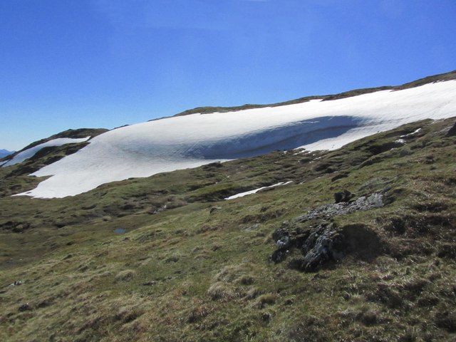
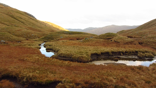
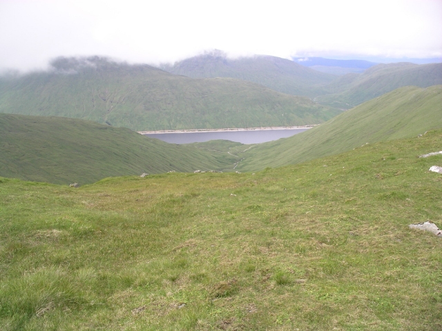
Lochan na Baintighearna is a picturesque freshwater loch nestled in the region of Perthshire, Scotland. Also known as Lake of the Lady, this natural water body is located near the village of Killiecrankie, surrounded by lush greenery and rolling hills.
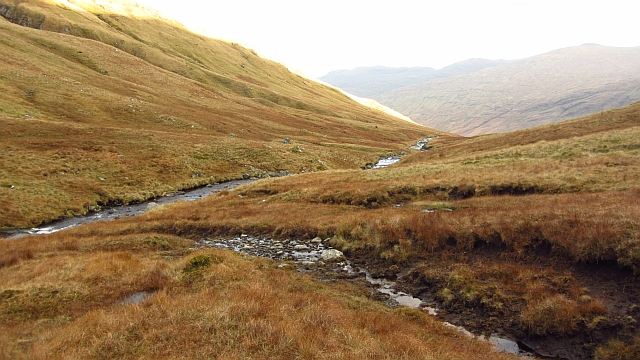
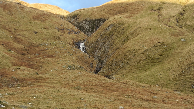
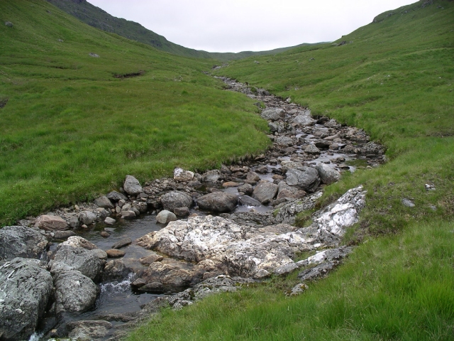
The loch covers an area of approximately 10 acres and has a maximum depth of around 15 meters. Its crystal-clear waters are fed by natural springs and small streams that cascade down the hillsides. The loch is renowned for its tranquility and stunning scenery, making it a popular destination for nature lovers and photographers.
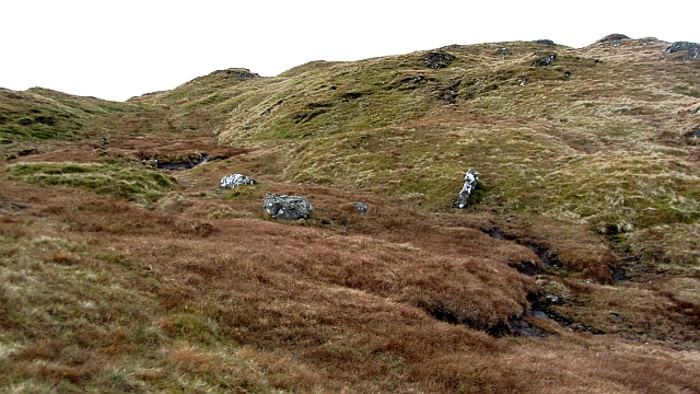
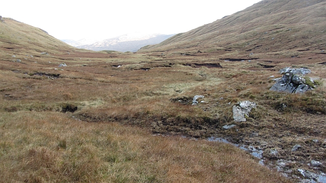
Surrounded by a mix of coniferous and deciduous woodlands, Lochan na Baintighearna is home to a diverse range of flora and fauna. The marshy areas around the loch provide a suitable habitat for various bird species, including ducks, swans, and herons. Additionally, the loch supports a healthy population of fish, such as brown trout, making it a popular spot for anglers.
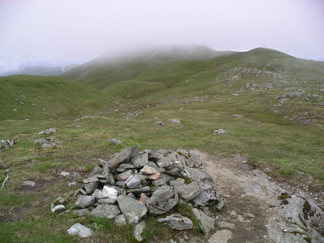
The area around Lochan na Baintighearna offers several walking trails and viewpoints, allowing visitors to explore the natural beauty of the surroundings. The loch is also a great place for picnicking, with designated areas providing benches and tables for visitors to enjoy their meals while taking in the peaceful ambiance.
Overall, Lochan na Baintighearna is a hidden gem in Perthshire, offering a serene and picturesque setting for nature enthusiasts to immerse themselves in the beauty of Scotland's countryside.
If you have any feedback on the listing, please let us know in the comments section below.
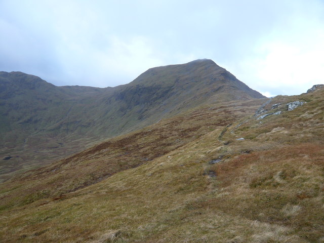
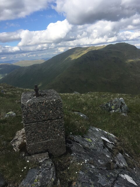
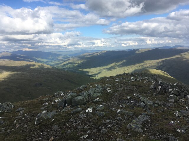
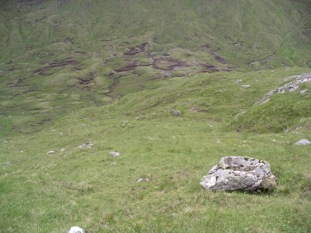
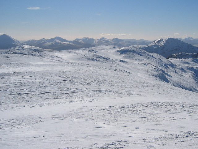
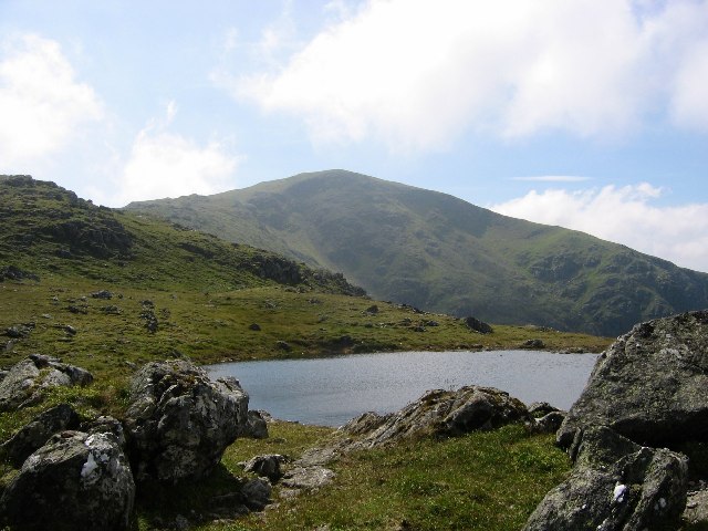
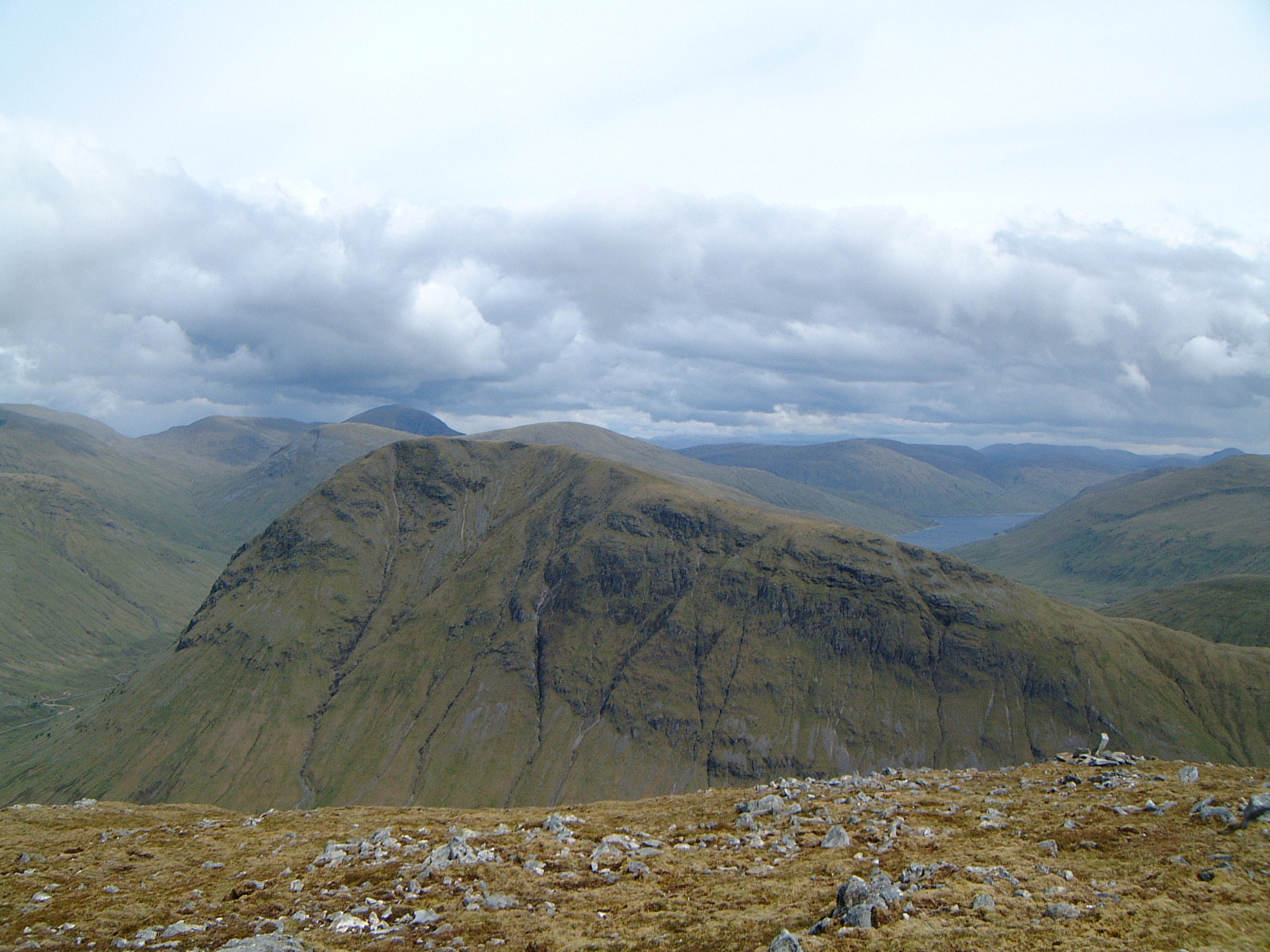
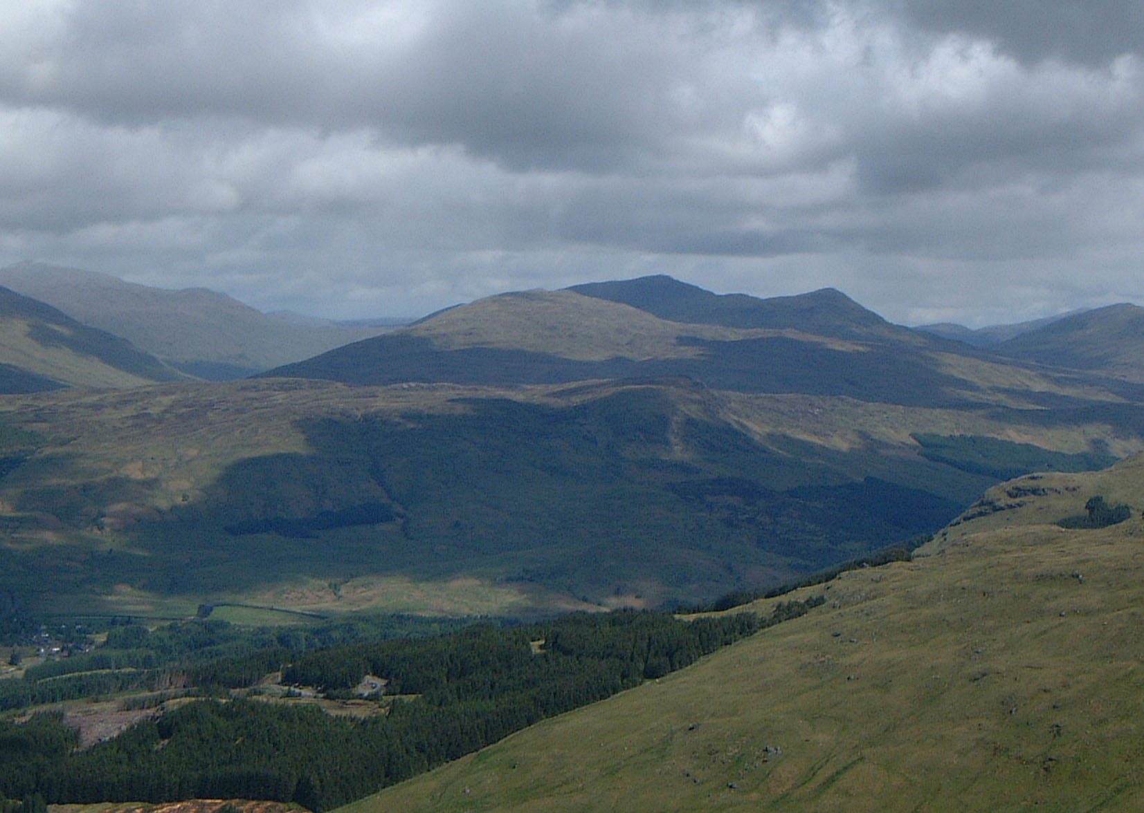
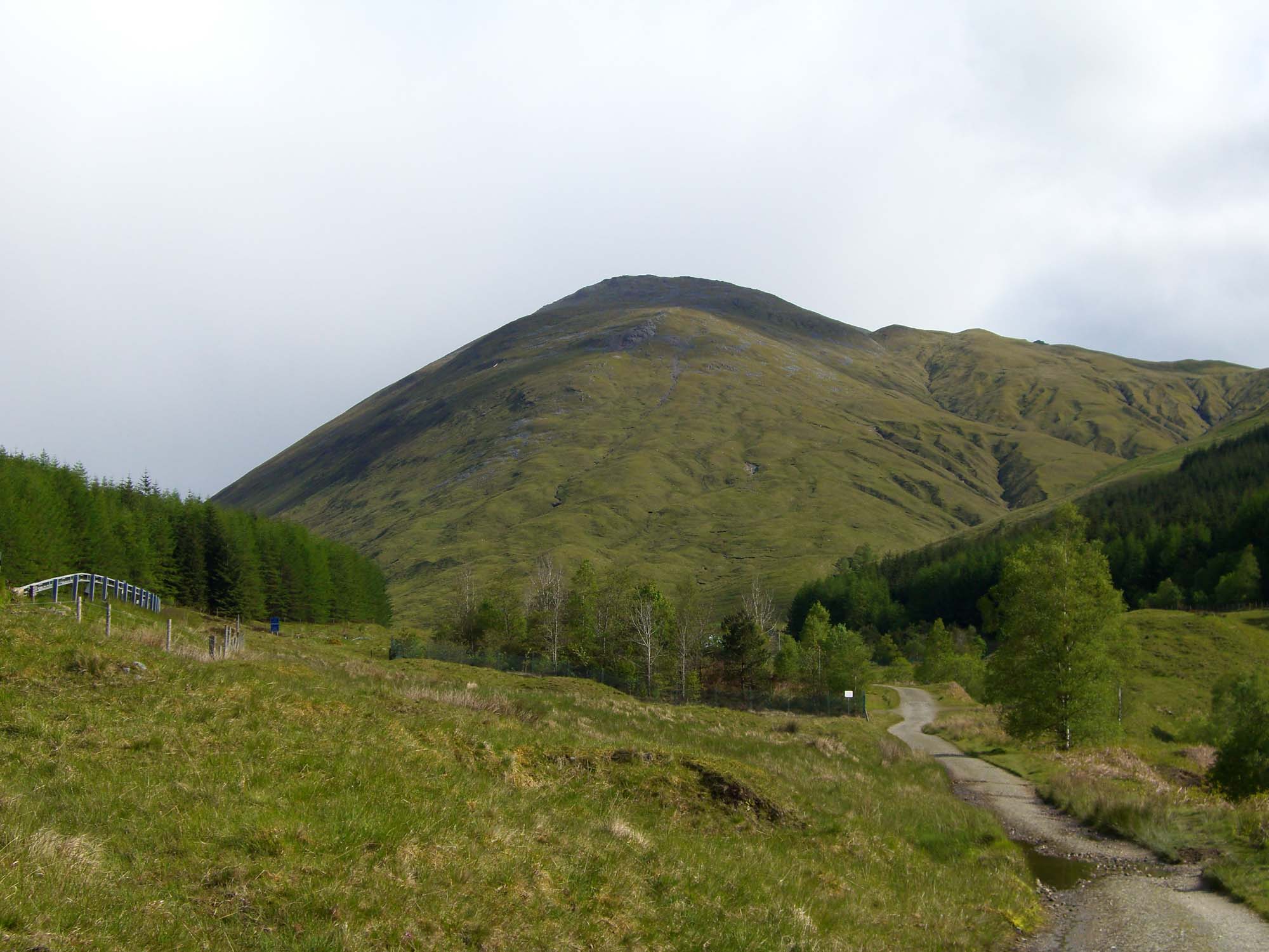
Lochan na Baintighearna Images
Images are sourced within 2km of 56.495017/-4.6040266 or Grid Reference NN3936. Thanks to Geograph Open Source API. All images are credited.

Lochan na Baintighearna is located at Grid Ref: NN3936 (Lat: 56.495017, Lng: -4.6040266)
Unitary Authority: Stirling
Police Authority: Forth Valley
What 3 Words
///domain.written.dips. Near Pubil, Perth & Kinross
Nearby Locations
Related Wikis

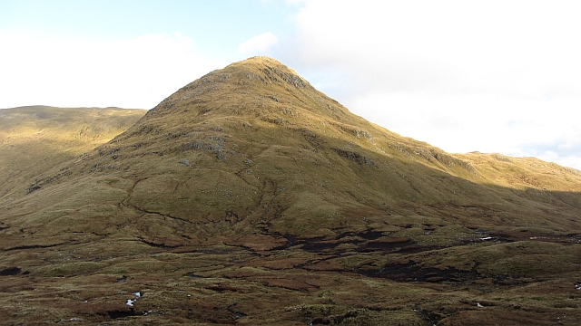
Creag Mhòr
Creag Mhòr is a mountain in the Breadalbane region of the Scottish Highlands. It is in the Forest of Mamlorn, ten kilometres northeast of Tyndrum, and...
Beinn Heasgarnich
Beinn Heasgarnich (Scottish Gaelic: Beinn Sheasgarnaich) is a mountain in the Breadalbane region of the Scottish Highlands. It lies about 2 km south of...

Beinn Mhanach
Beinn Mhanach (Scottish Gaelic for 'monks' mountain'), also anglicized Ben Vannoch, is a mountain in the Breadalbane region of the Scottish Highlands....

Beinn Challuim
Beinn Challuim (English: Ben Challum) is a mountain in the Breadalbane region of the Scottish Highlands. It is east of the village of Tyndrum, in the Forest...
Beinn a' Chaisteil
Beinn a' Chaisteil is a mountain in the southern Highlands of Scotland, it is located 6.25 km north of Tyndrum on the border of Perth and Kinross and Argyll...

Loch Lyon
Loch Lyon (Scottish Gaelic, Loch Lìobhann) is a freshwater loch in Glen Lyon, located in Perthshire, Scotland, which feeds the River Lyon, a tributary...
Meall Glas
Meall Glas is a mountain situated in the southern highlands of Scotland. It stands on the northern border of the Loch Lomond and the Trossachs National...
Beinn Odhar
Beinn Odhar is a Scottish mountain situated at the northern extremity of the Loch Lomond and the Trossachs National Park. It stands four km (2.5 mi) north...
Have you been to Lochan na Baintighearna?
Leave your review of Lochan na Baintighearna below (or comments, questions and feedback).