Llyn Hendref
Lake, Pool, Pond, Freshwater Marsh in Anglesey
Wales
Llyn Hendref
The requested URL returned error: 429 Too Many Requests
If you have any feedback on the listing, please let us know in the comments section below.
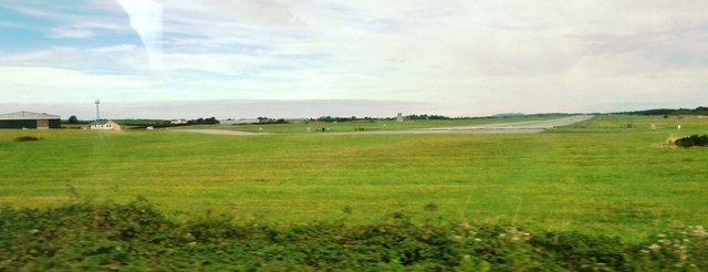
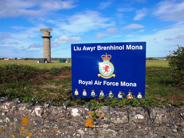
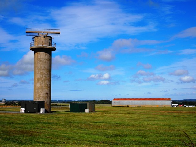
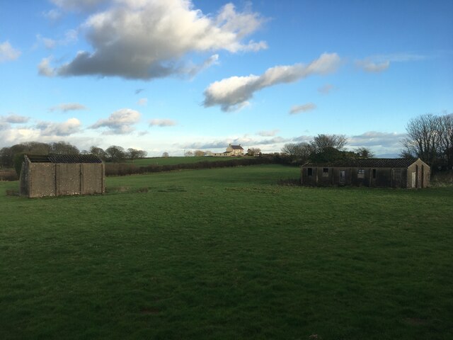
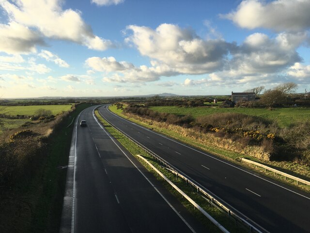
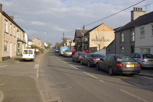
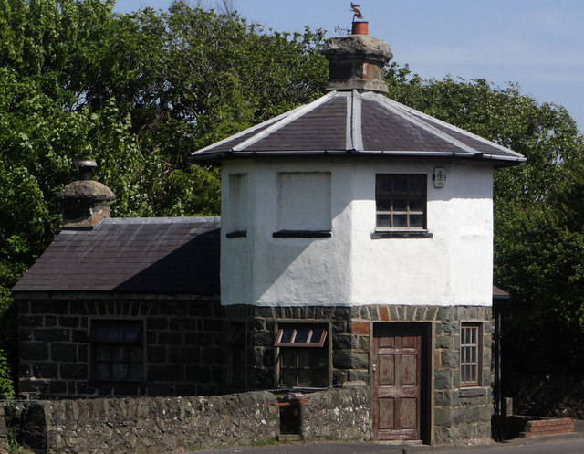
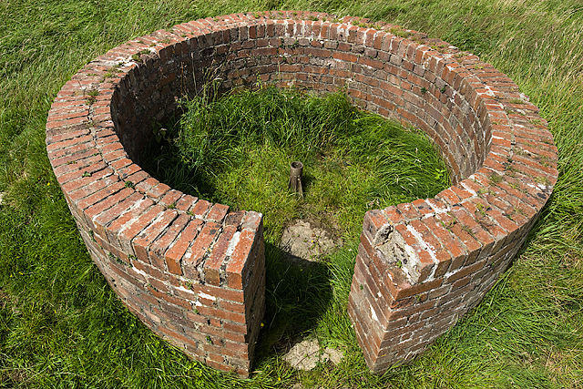
Llyn Hendref Images
Images are sourced within 2km of 53.26176/-4.403446 or Grid Reference SH3976. Thanks to Geograph Open Source API. All images are credited.
Llyn Hendref is located at Grid Ref: SH3976 (Lat: 53.26176, Lng: -4.403446)
Unitary Authority: Isle of Anglesey
Police Authority: North Wales
What 3 Words
///took.trickles.tribal. Near Llangefni, Isle of Anglesey
Nearby Locations
Related Wikis
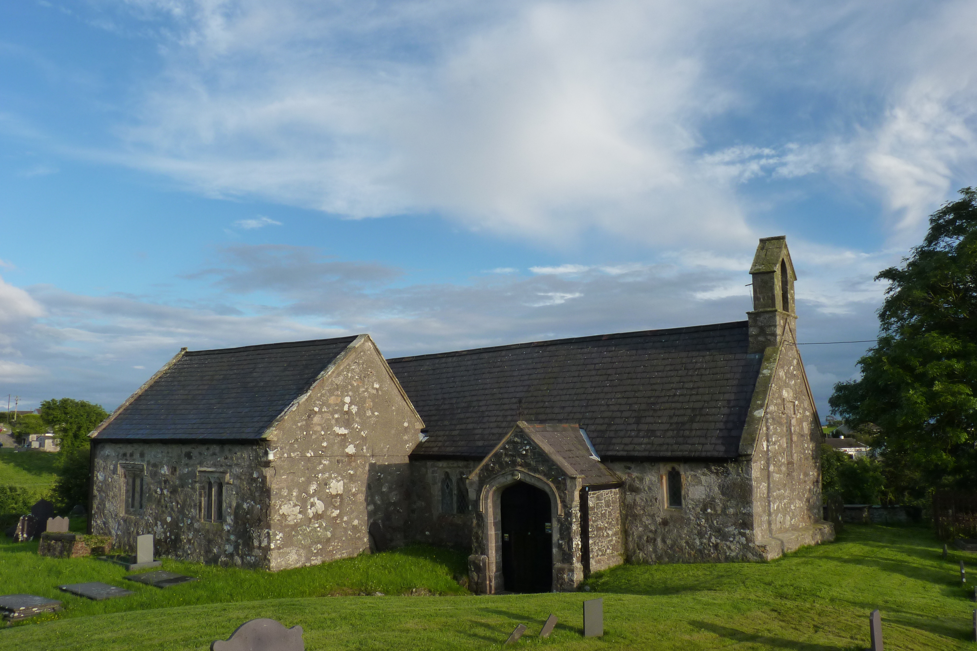
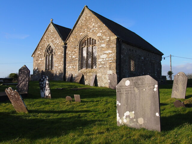
St Morhaiarn's Church, Gwalchmai
St Morhaiarn's Church is a medieval church in the village of Gwalchmai in Anglesey, Wales. The building dates from the 14th century and underwent extensive...

Gwalchmai, Anglesey
Gwalchmai () is a village on Anglesey in north Wales, within the Trewalchmai community. The community's population in the 2011 census was 1009. The village...

Cors Bodwrog
Cors Bodwrog is a mesotrophic mire and a Site of Special Scientific Interest (or SSSI) in Anglesey, North Wales. It has been designated as a Site of Special...
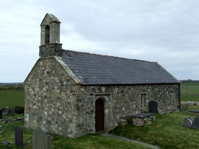
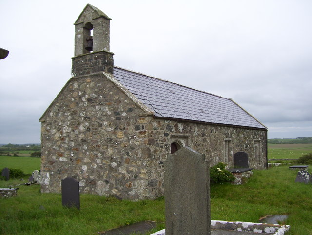
St Twrog's Church, Bodwrog
St Twrog's Church is a small rural church at Bodwrog in Anglesey, North Wales. Built in the late 15th century in a medieval style, some alterations have...
Nearby Amenities
Located within 500m of 53.26176,-4.403446Have you been to Llyn Hendref?
Leave your review of Llyn Hendref below (or comments, questions and feedback).