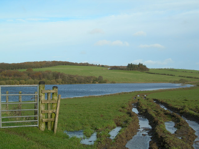
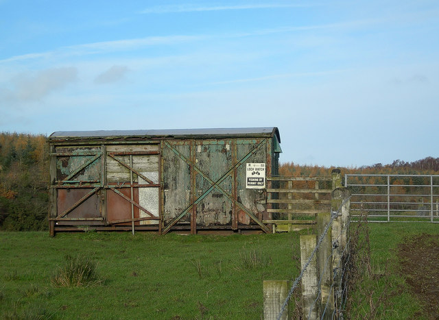
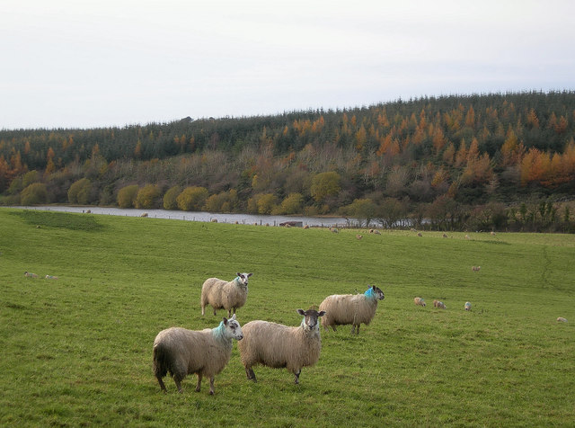
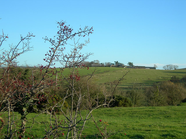
Loch Croot

Lake, Pool, Pond, Freshwater Marsh in Ayrshire

Scotland

Loch Croot

Drumbuie Farm Looking west from the minor road to Barnshean Loch on a cool November morning.
Drumbuie Farm Credit: Mary and Angus Hogg

The requested URL returned error: 429 Too Many Requests

If you have any feedback on the listing, please let us know in the comments section below.
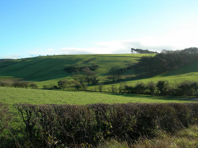
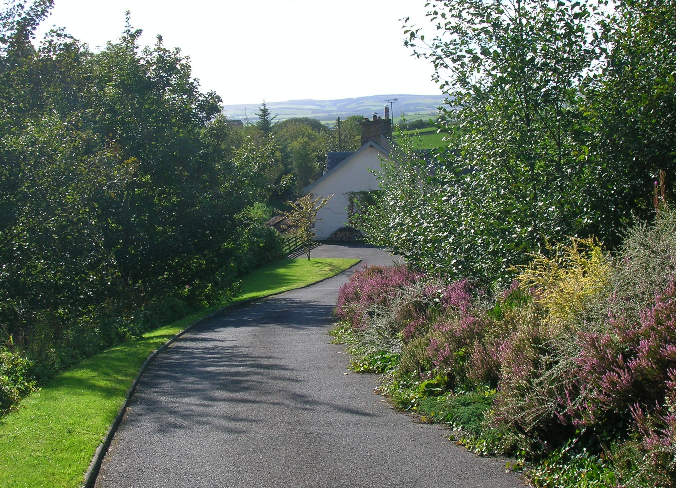
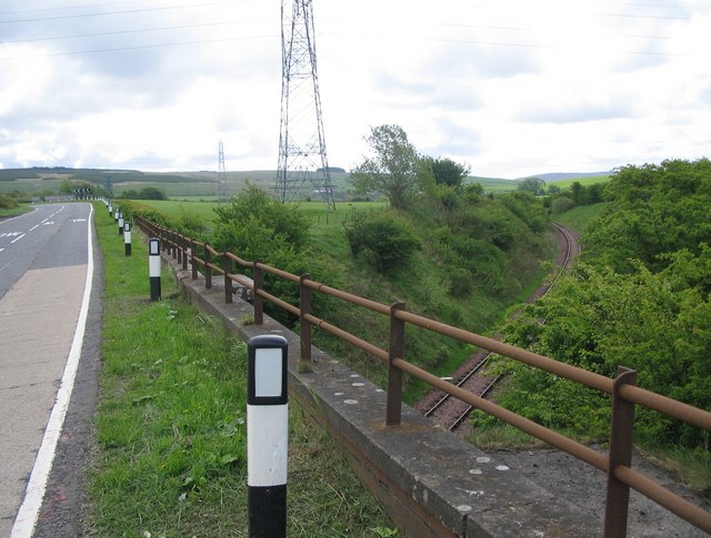
Loch Croot Images

Images are sourced within 2km of 55.37539/-4.5601658 or Grid Reference NS3712. Thanks to Geograph Open Source API. All images are credited.

Drumbuie Farm Looking west from the minor road to Barnshean Loch on a cool November morning.
Drumbuie Farm
Looking west from the minor road to Barnshean Loch on a cool November morning.
Drumbuie Farm Rough grazing in the foreground with improved pastureland on the other side of the burn.  The rolling countryside is formed by drumlins, deposited during the last Ice Age.
Drumbuie Farm
Rough grazing in the foreground with improved pastureland on the other side of the burn. The rolling countryside is formed by drumlins, deposited during the last Ice Age.
Barnshean Loch The southern end of Barnshean Loch, taken from the fishermen's car park.
Barnshean Loch
The southern end of Barnshean Loch, taken from the fishermen's car park.
Barnshean Loch Looking towards the northern end of the loch, with Glastron Farm in the far distance.  Barnshean is a typical kettle lake, formed during the last Ice Age.
Barnshean Loch
Looking towards the northern end of the loch, with Glastron Farm in the far distance. Barnshean is a typical kettle lake, formed during the last Ice Age.
Fishing Hut at Barnshean Loch Yet another use for an old railway wagon.
Fishing Hut at Barnshean Loch
Yet another use for an old railway wagon.
Dalvennan Looking SSE across the Dyrock Burn.
Dalvennan
Looking SSE across the Dyrock Burn.
Typical November Day Farmland between Patna and Kirkmichael, with Dallowie Farm in the distance, on a typical November day in the southern part of Ayrshire.
Typical November Day
Farmland between Patna and Kirkmichael, with Dallowie Farm in the distance, on a typical November day in the southern part of Ayrshire.
Glastron Farm Looking NNW across typical drumlin country on a cool November day.
Glastron Farm
Looking NNW across typical drumlin country on a cool November day.
Power Lines at Barnshean Looking WSW along the power lines near Barnshean Loch, with Fardenwilliam in the background.
Power Lines at Barnshean
Looking WSW along the power lines near Barnshean Loch, with Fardenwilliam in the background.
Roadside View Looking E towards Patna Hill, with Keirsmill Farm on the left.  The Interconnector, which carries power from Scotland to Northern Ireland, is visible on the skyline.
Roadside View
Looking E towards Patna Hill, with Keirsmill Farm on the left. The Interconnector, which carries power from Scotland to Northern Ireland, is visible on the skyline.
Berries and Flowers The golden flowers of the gorse bush contrast well with the rich red rose hips and haws.  Keirsmill Farm in the background.
Berries and Flowers
The golden flowers of the gorse bush contrast well with the rich red rose hips and haws. Keirsmill Farm in the background.
Sheep near Loch Croot Sheep on a cool November day, with Loch Croot in the background.
Sheep near Loch Croot
Sheep on a cool November day, with Loch Croot in the background.
View from Guiltree Hill Looking ENE from the West of Scotland Water building.  Barnshean Loch is just visible in the distance.
View from Guiltree Hill
Looking ENE from the West of Scotland Water building. Barnshean Loch is just visible in the distance.
Livestock Feeder Looking NE from the West of Scotland Water building on Guiltree Hill.
Livestock Feeder
Looking NE from the West of Scotland Water building on Guiltree Hill.
Towards Ballycoach Going down the north side of Guiltree Hill on a fine November morning.
Towards Ballycoach
Going down the north side of Guiltree Hill on a fine November morning.
Montgomerieston Farm Looking east from the minor road on a fine November morning.
Montgomerieston Farm
Looking east from the minor road on a fine November morning.
Guiltree Hill The northern edge of Guiltree Hill on a fine November morning.
Guiltree Hill
The northern edge of Guiltree Hill on a fine November morning.
Dalvennan Farm Looking NE from the Dalvennan Country Sports fishery on a dour November morning.
Dalvennan Farm
Looking NE from the Dalvennan Country Sports fishery on a dour November morning.
Show me another place!

Loch Croot is located at Grid Ref: NS3712 (Lat: 55.37539, Lng: -4.5601658)

Unitary Authority: South Ayrshire

Police Authority: Ayrshire

What 3 Words

///stutter.valued.shocked. Near Dalrymple, East Ayrshire

Nearby Locations

Loch Croot

Related Wikis

Dalrymple, East Ayrshire

Dalrymple (Scots: Drumple) is a village and parish in East Ayrshire, Scotland, lying in the Doon Valley on the north bank of the River Doon. The population...

Hollybush railway station

Hollybush railway station was a railway station in East Ayrshire, Scotland that served the nearby Hollybush Hotel and the rural district. The line on which...

Holehouse Junction railway station

Holehouse Junction railway station was an exchange railway station in East Ayrshire, Scotland. The line on which the station later came to stand was originally...

Patna, East Ayrshire

Patna is a village in East Ayrshire, Scotland, straddling the traditional districts of Carrick and Kyle.It was established in 1802 by William Fullarton...

Have you been to Loch Croot?

Leave your review of Loch Croot below (or comments, questions and feedback).