Llyn Llygeirian

Lake, Pool, Pond, Freshwater Marsh in Anglesey

Wales

Llyn Llygeirian

Llanrhyddlad church
Llanrhyddlad church Credit: John Firth

The requested URL returned error: 429 Too Many Requests

If you have any feedback on the listing, please let us know in the comments section below.

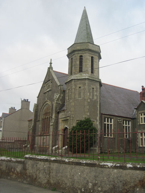
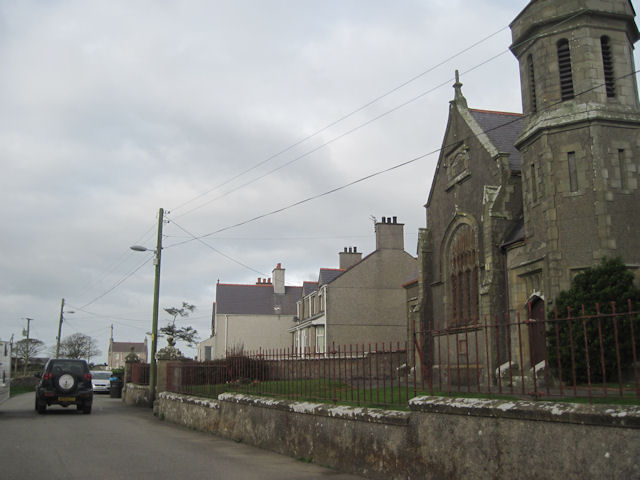
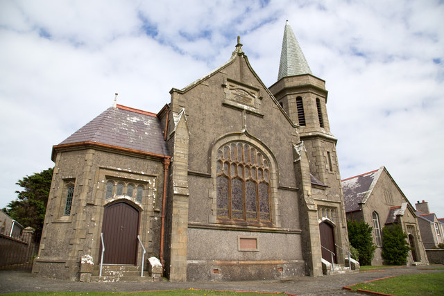
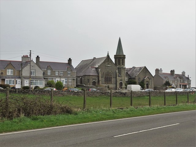
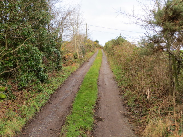
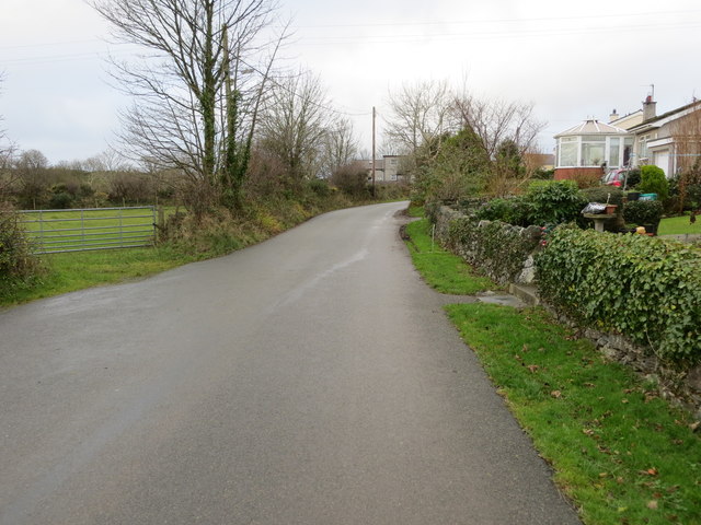
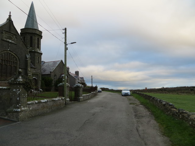
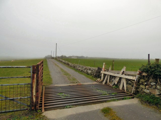
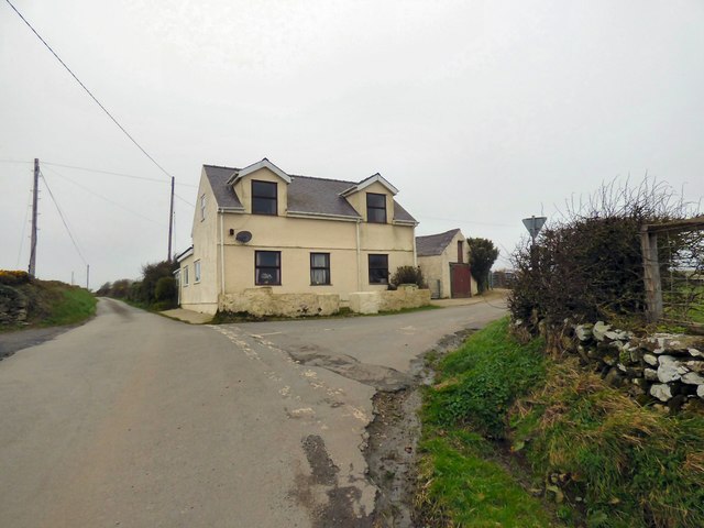
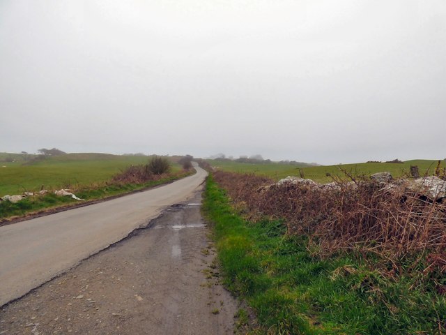
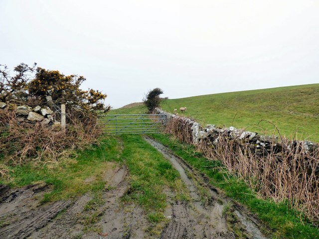
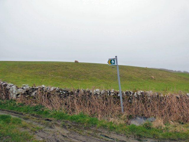
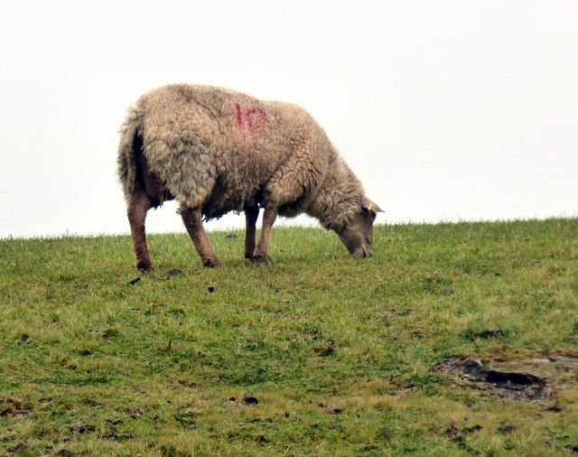
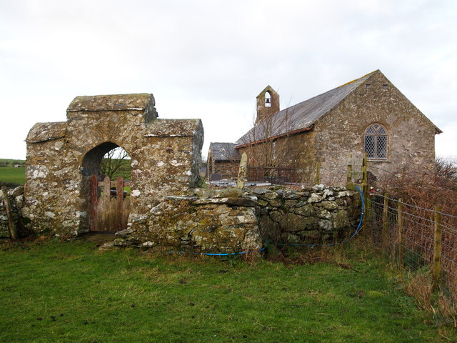
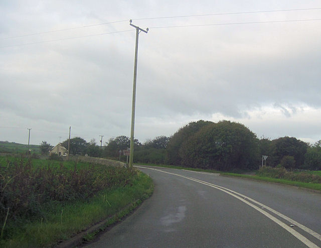
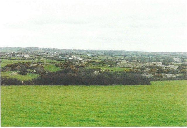
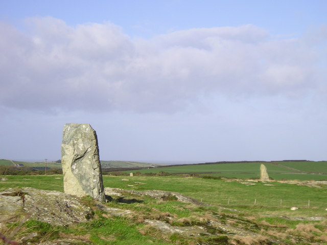
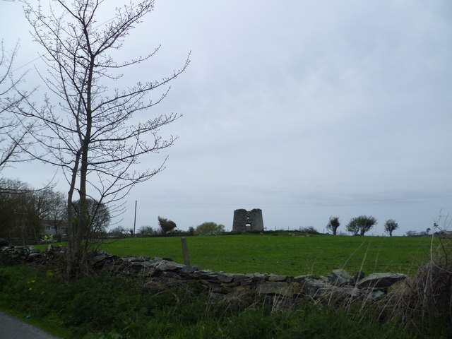
Llyn Llygeirian Images

Images are sourced within 2km of 53.379999/-4.4863992 or Grid Reference SH3489. Thanks to Geograph Open Source API. All images are credited.

Llanrhyddlad church
Llanrhyddlad church
Road past Llanrhyddlad church
Bethel Hen, Llanrhuddlad Bethel Hen,Llanrhuddlad,The Presbyterian Church of Wales.
Bethel Hen, Llanrhuddlad
Bethel Hen,Llanrhuddlad,The Presbyterian Church of Wales.
Llanrhyddlad - view to the village church
Enclosed track leading onto Mynydd Mechell Looking north-westward from the entrance to Bryn Engan
Enclosed track leading onto Mynydd Mechell
Looking north-westward from the entrance to Bryn Engan
Road through Melin Mechell Looking south-westward.
Road through Melin Mechell
Looking south-westward.
School Terrace in Llanrhyddlad Looking north-eastward.
School Terrace in Llanrhyddlad
Looking north-eastward.
Cott Farm
Cott Farm
Road junction at Gors-Goch
The road to Llanrhyddlad
  Footpath to Llanfflewin
Footpath to Llanfflewin
  Grazing sheep   
  Above the footpath to Llanfflewin <a href="https://www.geograph.org.uk/photo/6099632">SH3588 :   Footpath to Llanfflewin</a>.
Grazing sheep
Above the footpath to Llanfflewin SH3588 : Footpath to Llanfflewin.
 Sheep safely grazing   
  Above the footpath to Llanfflewin <a href="https://www.geograph.org.uk/photo/6099638">SH3588 :   Grazing sheep</a>.
Sheep safely grazing
Above the footpath to Llanfflewin SH3588 : Grazing sheep.
Eglwys St Fflewin
Eglwys St Fflewin
Junction for Cemlyn Bay off A5025
Looking east-southeast from the A5025
Standing Stones, Caerdegog Uchaf
Disused old windmill There are quite a few of these dotted around the island.
Disused old windmill
There are quite a few of these dotted around the island.
Show me another place!

Llyn Llygeirian is located at Grid Ref: SH3489 (Lat: 53.379999, Lng: -4.4863992)

Unitary Authority: Isle of Anglesey

Police Authority: North Wales

What 3 Words

///flush.present.totals. Near Cemaes Bay, Isle of Anglesey

Related Wikis

Mynydd Mechell

Mynydd Mechell is an area in the community of Mechell, Anglesey, Wales, which is 141.9 miles (228.4 km) from Cardiff and 223.8 miles (360.2 km) from London...

Llanfflewyn

Llanfflewyn is a village in the community of Mechell, Anglesey, Wales, which is 141.9 miles (228.3 km) from Cardiff and 224.1 miles (360.6 km) from London...

St Fflewin's Church, Llanfflewin

St Fflewin's Church, Llanfflewin (sometimes referred to as St Fflewyn's Church, Llanfflewyn) is a small rural church, situated by a farm in Anglesey, Wales...

Llanrhyddlad

Llanrhyddlad (Welsh: Llan-Rhûddlad) is a hamlet in Anglesey, in north-west Wales. in the community of Cylch-y-Garn. == References ==

Nearby Amenities

Located within 500m of 53.379999,-4.4863992
Source: OS VectorMap District
Lat/Long: 53.3813388/-4.4864267
Source: OS VectorMap District
Lat/Long: 53.3812915/-4.4841164
Source: OS VectorMap District
Lat/Long: 53.3810917/-4.4851674
Source: OS VectorMap District
Lat/Long: 53.3811018/-4.4851141
Source: OS VectorMap District
Lat/Long: 53.3811126/-4.4852558
Source: OS VectorMap District
Lat/Long: 53.3811537/-4.4848411
Source: OS VectorMap District
Lat/Long: 53.3811634/-4.4854706
Source: OS VectorMap District
Lat/Long: 53.3811873/-4.4855715
Source: OS VectorMap District
Lat/Long: 53.3812282/-4.4857403
Source: OS VectorMap District
Lat/Long: 53.3811998/-4.4845987
Source: OS VectorMap District
Lat/Long: 53.3812584/-4.4858716
Source: OS VectorMap District
Lat/Long: 53.3812376/-4.4843999
Source: OS VectorMap District
Lat/Long: 53.3813325/-4.4862127
Source: OS VectorMap District
Lat/Long: 53.3813078/-4.4860962
Source: OS VectorMap District
Lat/Long: 53.381337/-4.4863694
Source: OS VectorMap District
Lat/Long: 53.3814853/-4.4850209
Source: OS VectorMap District
Lat/Long: 53.3816325/-4.4852033
Source: OS VectorMap District
Lat/Long: 53.3813636/-4.4842052
Source: OS VectorMap District
Lat/Long: 53.3815269/-4.486126
Source: OS VectorMap District
Lat/Long: 53.3814942/-4.486471
Power: tower
Lat/Long: 53.3780538/-4.4926661
Power: tower
Lat/Long: 53.3792026/-4.4935351
Power: tower
Lat/Long: 53.3772458/-4.4920599
The data included in this document is from www.openstreetmap.org. The data is made available under ODbL.

Have you been to Llyn Llygeirian?

Leave your review of Llyn Llygeirian below (or comments, questions and feedback).