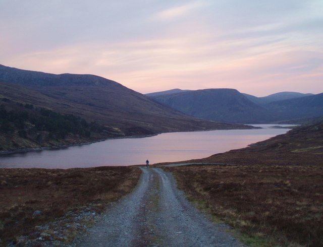
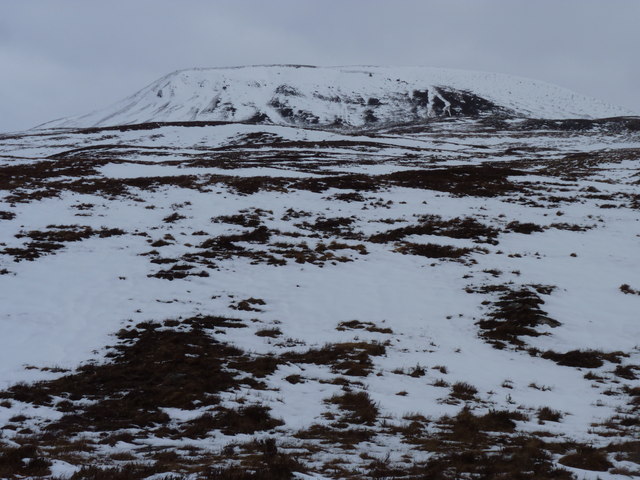
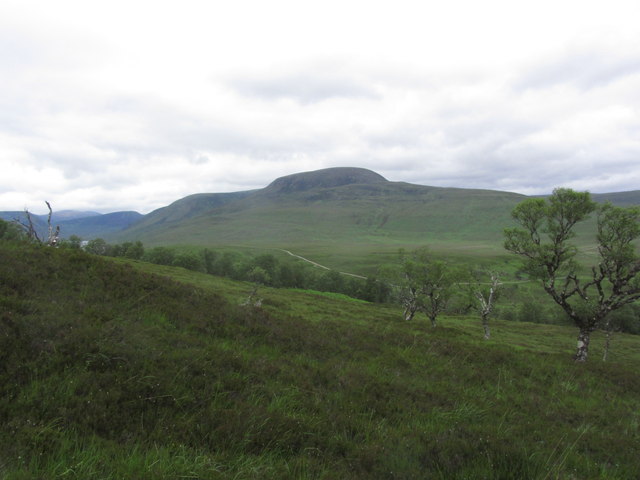
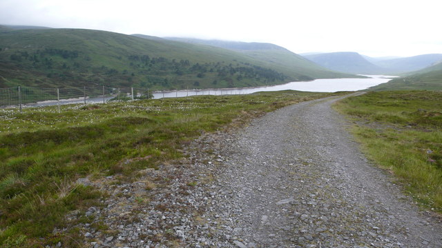
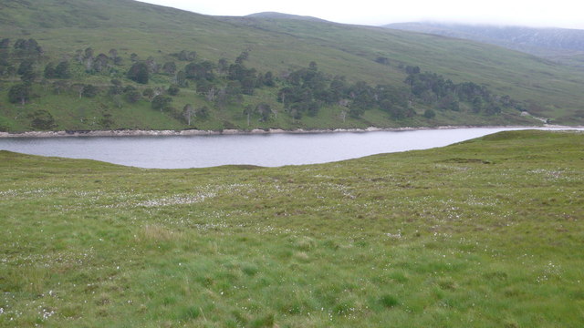
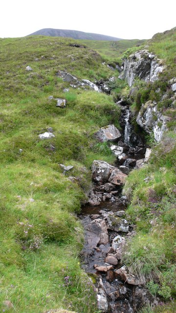
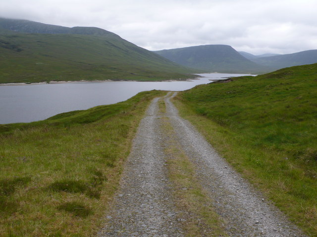
Loch Vaich

Lake, Pool, Pond, Freshwater Marsh in Ross-shire
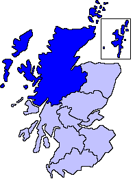
Scotland

Loch Vaich

Remains of the Day Royal wedding day and we have managed to avoid all the fuss!
At the end of a memorable day in the hills of the Freevater Forest, climbing Carn Ban and Seana Braigh which can just be seen at far right and above the cyclist respectively.
Thanks to William and Kate for a grand day out!
Remains of the Day Credit: Adam Ward

The requested URL returned error: 429 Too Many Requests

If you have any feedback on the listing, please let us know in the comments section below.
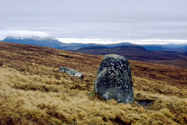
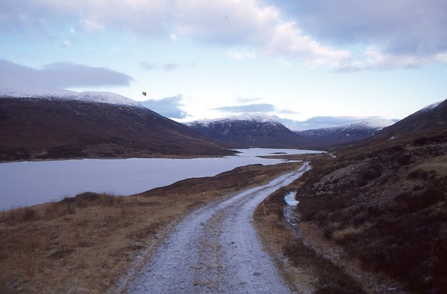
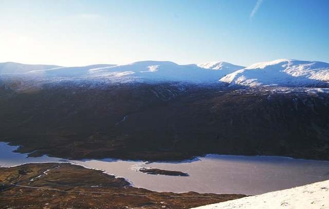
Loch Vaich Images

Images are sourced within 2km of 57.753162/-4.7805114 or Grid Reference NH3477. Thanks to Geograph Open Source API. All images are credited.
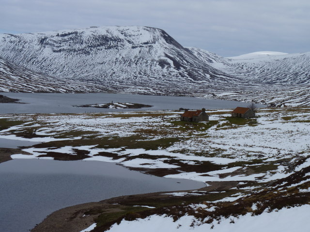
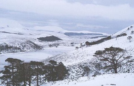
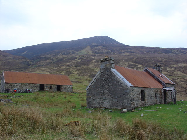
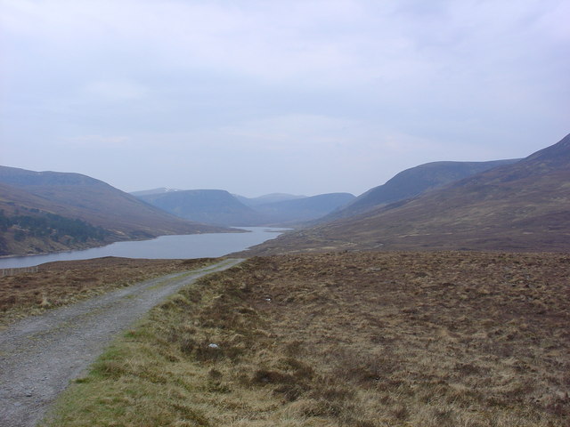
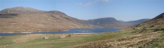
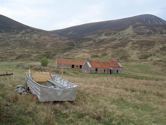
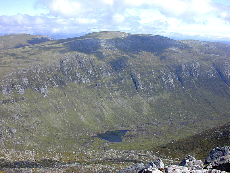
Remains of the Day Royal wedding day and we have managed to avoid all the fuss!
At the end of a memorable day in the hills of the Freevater Forest, climbing Carn Ban and Seana Braigh which can just be seen at far right and above the cyclist respectively.
Thanks to William and Kate for a grand day out!
Remains of the Day
Royal wedding day and we have managed to avoid all the fuss! At the end of a memorable day in the hills of the Freevater Forest, climbing Carn Ban and Seana Braigh which can just be seen at far right and above the cyclist respectively. Thanks to William and Kate for a grand day out!
Lubachlaggan with Creag Clachach behind
The lower slopes of Meall a' Ghrianain
Standing stone/ Monument
View to Meall a' Ghrianain from above Strathvaich Lodge
Upright boulder punctuates the moor on Meall a' Ghrianain
Loch Vaich A road runs the length of Strath Vaich to Gleann Mor.
Loch Vaich
A road runs the length of Strath Vaich to Gleann Mor.
Alluvial fan, Lublachlaggan Loch Toll a' Mhuic. to the right of the narrows is now part of the big hydroelectric reservoir Loch Vaich. The narrows are formed by higher ground from material swept down the burn from Beinn a' Chaisteil. Taken on the steep descent from Beinn a'Chaisteil (NH359789)
Alluvial fan, Lublachlaggan
Loch Toll a' Mhuic. to the right of the narrows is now part of the big hydroelectric reservoir Loch Vaich. The narrows are formed by higher ground from material swept down the burn from Beinn a' Chaisteil. Taken on the steep descent from Beinn a'Chaisteil (NH359789)
Strath Vaich A frozen Loch Vaich and remnant pine woods from the lower slopes of Meall a' Glaic Baine. View SE with Wyvis in the distance.
Strath Vaich
A frozen Loch Vaich and remnant pine woods from the lower slopes of Meall a' Glaic Baine. View SE with Wyvis in the distance.
Lubachlaggan These derelict buildings were once part of a larger community at Lubachlaggan. They are now only used as a shelter for sheep.  Prior to the 'new' manmade, Hydro Electric dammed, Loch Vaich, Lubachlaggan was on the south shore of Loch Toll a' Mhuic. The old loch began about 300m north of these buildings. The hill in the background is Beinn a Chaisteil.
Lubachlaggan
These derelict buildings were once part of a larger community at Lubachlaggan. They are now only used as a shelter for sheep. Prior to the 'new' manmade, Hydro Electric dammed, Loch Vaich, Lubachlaggan was on the south shore of Loch Toll a' Mhuic. The old loch began about 300m north of these buildings. The hill in the background is Beinn a Chaisteil.
Loch Vaich viewed from Coir' a' Ghrianain The artificial Loch Vaich, formed after a dam was built in 1957, runs due north. The narrows at the top end of the loch, leads to a former smaller loch, Loch Toll a' Mhuic, at Lubachlaggan.
Loch Vaich viewed from Coir' a' Ghrianain
The artificial Loch Vaich, formed after a dam was built in 1957, runs due north. The narrows at the top end of the loch, leads to a former smaller loch, Loch Toll a' Mhuic, at Lubachlaggan.
Loch Vaich Also showing buildings of Lubachlaggan [NH3478]
Loch Vaich
Also showing buildings of Lubachlaggan [NH3478]
Lubachlaggan and Loch Vaich
Primitive ferry, Lubachlaggan Loch Vaich was enlarged for a hydro-electric scheme but remains very narrow here. The local estate appears to use this boat as a primitive ferry with a rope stretched across the narrows to gain easy access for Argo-cats to the west shore.
Primitive ferry, Lubachlaggan
Loch Vaich was enlarged for a hydro-electric scheme but remains very narrow here. The local estate appears to use this boat as a primitive ferry with a rope stretched across the narrows to gain easy access for Argo-cats to the west shore.
Strathvaich and Loch Vaich Looking North to narrows at Lubachlaggan.
Strathvaich and Loch Vaich
Looking North to narrows at Lubachlaggan.
Loch Vaich and woodland Looking across to the fenced enclosure that is giving protection to a fine stand of Scots Pine.
Loch Vaich and woodland
Looking across to the fenced enclosure that is giving protection to a fine stand of Scots Pine.
Burn flowing from Meall a Ghrianain Trackside burn flowing from the slopes of the hill.
Burn flowing from Meall a Ghrianain
Trackside burn flowing from the slopes of the hill.
Loch Vaich track Loch Vaich has a large population of pike and in 1939 there was a big attempt made to reduce their numbers - with little success however.
Loch Vaich track
Loch Vaich has a large population of pike and in 1939 there was a big attempt made to reduce their numbers - with little success however.
Show me another place!

Loch Vaich is located at Grid Ref: NH3477 (Lat: 57.753162, Lng: -4.7805114)

Unitary Authority: Highland

Police Authority: Highlands and Islands

What 3 Words

///kickbacks.mouth.producing. Near Strathpeffer, Highland

Nearby Locations

Loch Vaich

Related Wikis

Am Faochagach

Am Faochagach (953 m) is a mountain in the Northwest Highlands of Scotland. It is located in Wester Ross, north of the main road to Ullapool. A rounded...

Loch Glascarnoch

Loch Glascarnoch is a 7-kilometre-long (4.3 mi) reservoir in the highlands of Scotland between Ullapool and Inverness. It is dammed on its eastern end...

A835 road

The A835 is a road in the Scottish Highlands linking Inverness to Ullapool and the Far North of Scotland. == Route == The A835 starts at Tore on the Black...

Northern Scotland

Northern Scotland was an administrative division of Scotland used for police and fire services. It consisted of Highland, the Orkney Islands, the Shetland...

Have you been to Loch Vaich?

Leave your review of Loch Vaich below (or comments, questions and feedback).