Old Mill Leat
Lake, Pool, Pond, Freshwater Marsh in Devon
England
Old Mill Leat

The requested URL returned error: 429 Too Many Requests
If you have any feedback on the listing, please let us know in the comments section below.
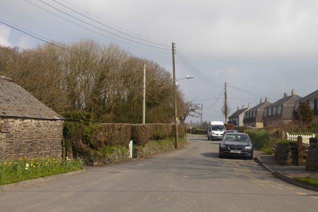
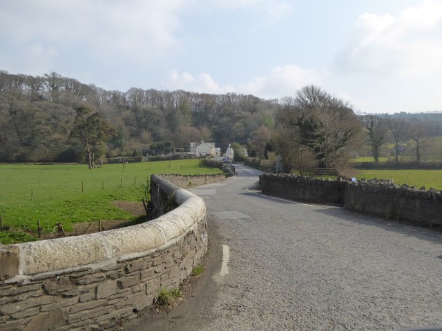
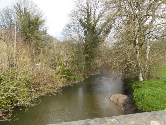
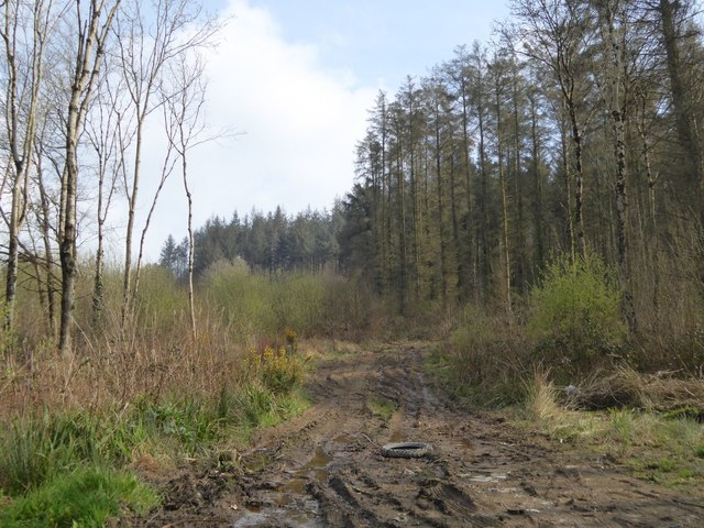
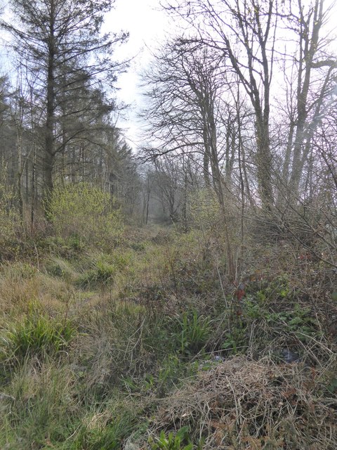
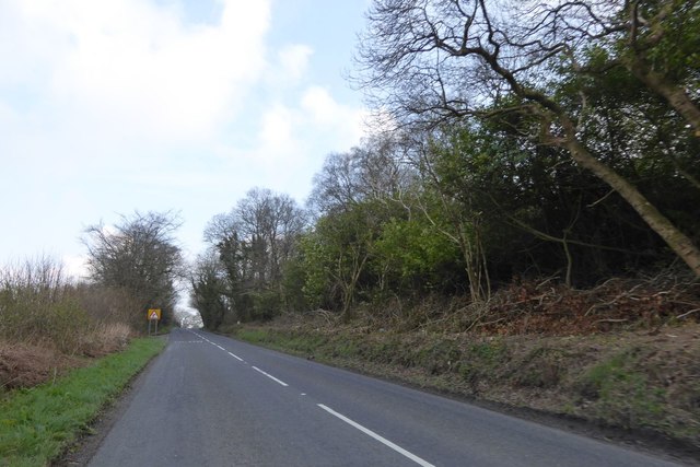
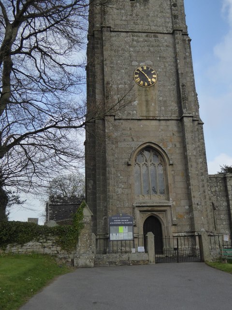
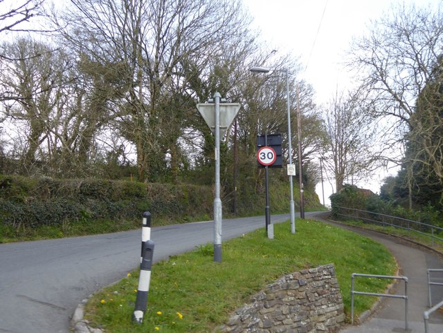
Old Mill Leat Images
Images are sourced within 2km of 50.658103/-4.368947 or Grid Reference SX3286. Thanks to Geograph Open Source API. All images are credited.
Old Mill Leat is located at Grid Ref: SX3286 (Lat: 50.658103, Lng: -4.368947)
Unitary Authority: Cornwall
Police Authority: Devon and Cornwall
What 3 Words
///taps.sinkhole.trades. Near Werrington, Cornwall
Nearby Locations
Related Wikis
Werrington, Cornwall
Werrington (Cornish: Trewolvredow) is a civil parish and former manor now in Cornwall, England, United Kingdom. Prior to boundary changes it straddled...

Yeolmbridge
Yeolmbridge is a village in Cornwall (but within the boundaries of the historic county of Devon), two and a half miles north of Launceston. == Yeolm... ==
St Stephens by Launceston Rural
St Stephens by Launceston Rural is a civil parish in the east of Cornwall, England, United Kingdom. It is in the Registration district of Launceston. The...
Ladycross
Ladycross is a hamlet near Werrington (where the population of the 2011 census was included.) in Cornwall, England. It is on the B3254 road half a mile...
Have you been to Old Mill Leat?
Leave your review of Old Mill Leat below (or comments, questions and feedback).