Llyn Maelog

Lake, Pool, Pond, Freshwater Marsh in Anglesey

Wales

Llyn Maelog

Ty Newydd Chambered Tomb <span class="nowrap"><a title="https://www.megalithic.co.uk/article.php?sid=170" rel="nofollow ugc noopener" href="https://www.megalithic.co.uk/article.php?sid=170">Link</a><img style="margin-left:2px;" alt="External link" title="External link - shift click to open in new window" src="https://s1.geograph.org.uk/img/external.png" width="10" height="10"/></span>
Ty Newydd Chambered Tomb Credit: Sandy Gerrard

The requested URL returned error: 429 Too Many Requests

If you have any feedback on the listing, please let us know in the comments section below.
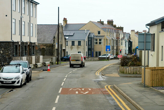
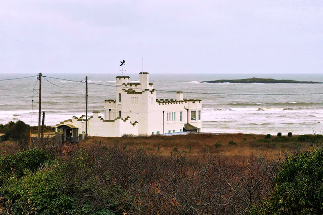
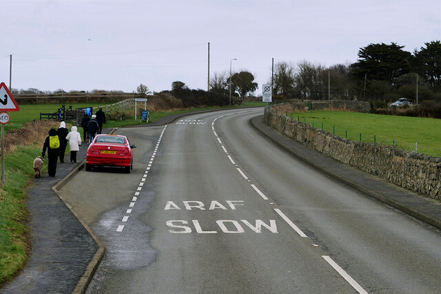
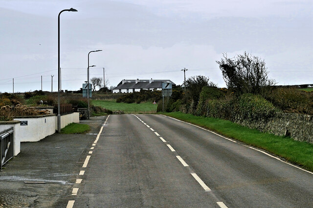
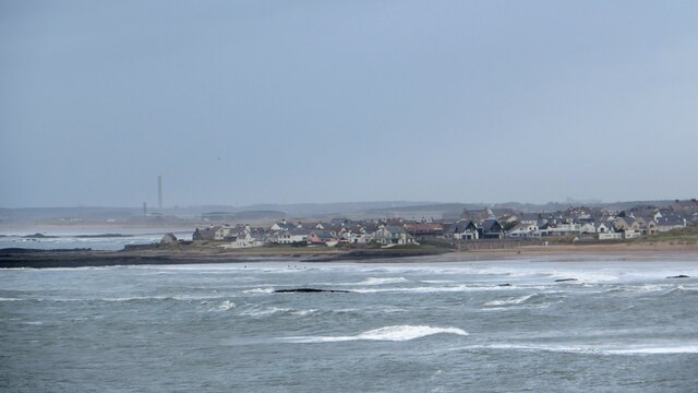
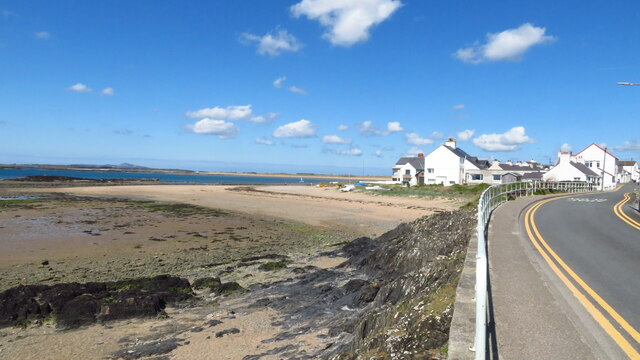
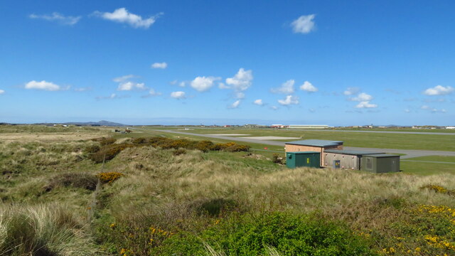
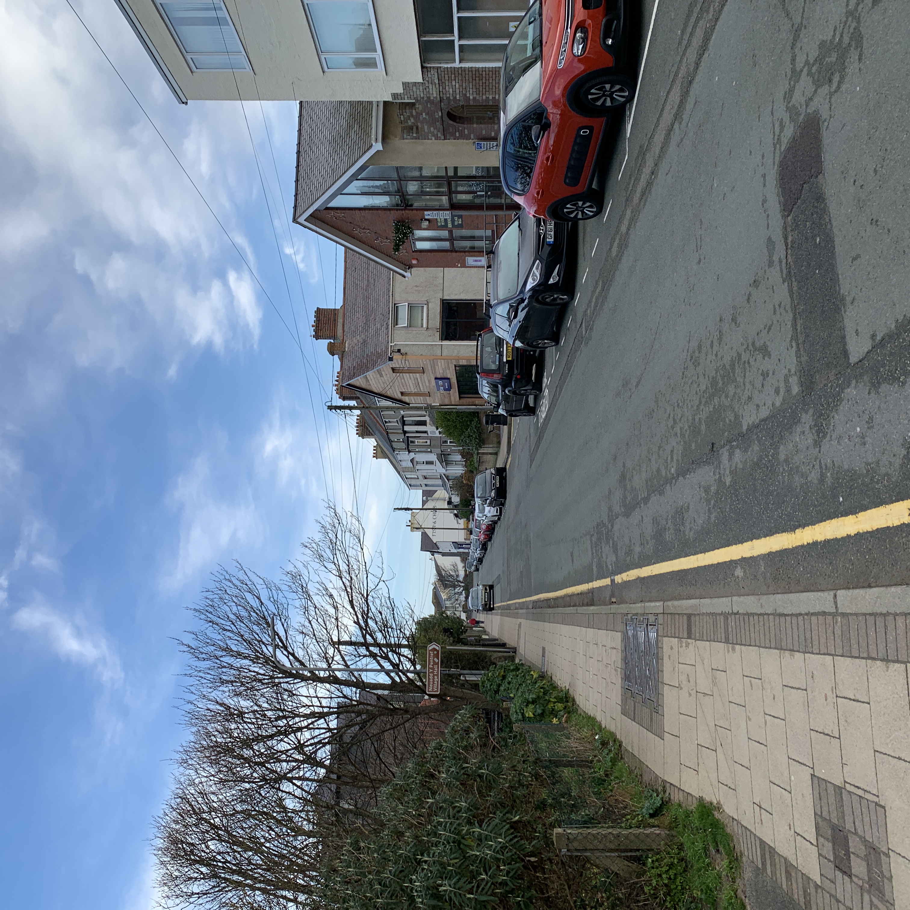
Llyn Maelog Images

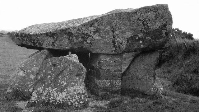
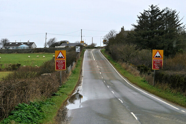
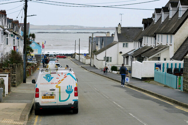
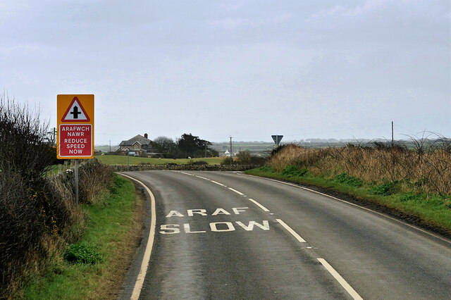
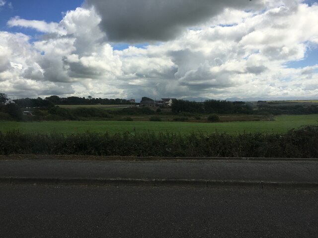
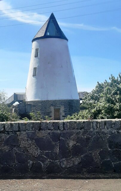
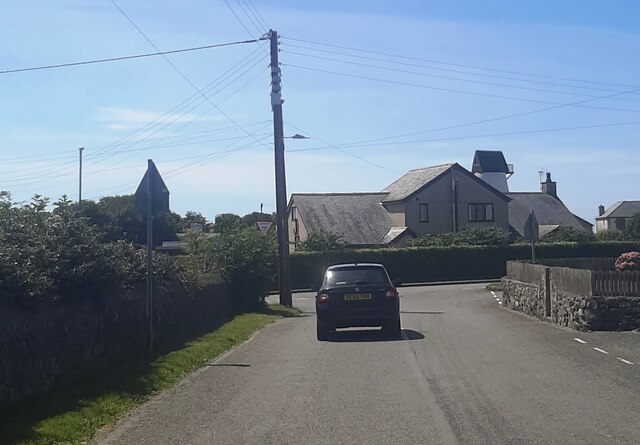
Images are sourced within 2km of 53.227685/-4.5085013 or Grid Reference SH3273. Thanks to Geograph Open Source API. All images are credited.

Ty Newydd Chambered Tomb <span class="nowrap"><a title="https://www.megalithic.co.uk/article.php?sid=170" rel="nofollow ugc noopener" href="https://www.megalithic.co.uk/article.php?sid=170">Link</a><img style="margin-left:2px;" alt="External link" title="External link - shift click to open in new window" src="https://s1.geograph.org.uk/img/external.png" width="10" height="10"/></span>
Ty Newydd Chambered Tomb
Llyn Maelog
Llyn Maelog
Tyn Towyn An early eighteenth-century single-storey labourers cottage set back from the west side of the A4080 (Aberffraw to Rhosneigr) road in an isolated location at the southeast side of Porth Nobla. It is a Grade II listed building (Cadw reference 5274 <span class="nowrap"><a title="http://cadwpublic-api.azurewebsites.net/reports/listedbuilding/FullReport?lang=en&id=5274" rel="nofollow ugc noopener" href="http://cadwpublic-api.azurewebsites.net/reports/listedbuilding/FullReport?lang=en&id=5274">Link</a><img style="margin-left:2px;" alt="External link" title="External link - shift click to open in new window" src="https://s1.geograph.org.uk/img/external.png" width="10" height="10"/></span> ). Now used as self-catering holiday accommodation.
Tyn Towyn
An early eighteenth-century single-storey labourers cottage set back from the west side of the A4080 (Aberffraw to Rhosneigr) road in an isolated location at the southeast side of Porth Nobla. It is a Grade II listed building (Cadw reference 5274 LinkExternal link ). Now used as self-catering holiday accommodation.
A4080 near Llanfaelog The A4080 road runs for 24½ miles along the southwestern side of Anglesey. It starts on the A5 at Llanfair Pwllgwyngyll and passes through several villages before terminating on the A5 between Bryngwran and Gwalchmai.
A4080 near Llanfaelog
The A4080 road runs for 24½ miles along the southwestern side of Anglesey. It starts on the A5 at Llanfair Pwllgwyngyll and passes through several villages before terminating on the A5 between Bryngwran and Gwalchmai.
A4080 Rhosneigr Rhosneigr is a seaside village on the southwest coast of Anglesey.
A4080 Rhosneigr
Rhosneigr is a seaside village on the southwest coast of Anglesey.
Rhosneigr, Beach Road Rhosneigr is a seaside village on the southwest coast of Anglesey.
Rhosneigr, Beach Road
Rhosneigr is a seaside village on the southwest coast of Anglesey.
Rhosneigr, Station Road The A4080 road runs for 24½ miles along the southwestern side of Anglesey. It starts on the A5 at Llanfair Pwllgwyngyll and passes through several villages before terminating on the A5 between Bryngwran and Gwalchmai.
Rhosneigr, Station Road
The A4080 road runs for 24½ miles along the southwestern side of Anglesey. It starts on the A5 at Llanfair Pwllgwyngyll and passes through several villages before terminating on the A5 between Bryngwran and Gwalchmai.
Surf Point, Rhosneigr A castellated seaside 'folly' style holiday home built to resemble a large sandcastle at the seashore. Built 1906-8 for the sausage manufacturer, C H Palethorpe, of Tipton, Worcestershire.  It is a Grade II listed building (Cadw reference 20425 <span class="nowrap"><a title="http://cadwpublic-api.azurewebsites.net/reports/listedbuilding/FullReport?lang=en&id=20425" rel="nofollow ugc noopener" href="http://cadwpublic-api.azurewebsites.net/reports/listedbuilding/FullReport?lang=en&id=20425">Link</a><img style="margin-left:2px;" alt="External link" title="External link - shift click to open in new window" src="https://s1.geograph.org.uk/img/external.png" width="10" height="10"/></span> ).
Surf Point, Rhosneigr
A castellated seaside 'folly' style holiday home built to resemble a large sandcastle at the seashore. Built 1906-8 for the sausage manufacturer, C H Palethorpe, of Tipton, Worcestershire. It is a Grade II listed building (Cadw reference 20425 LinkExternal link ).
Layby on the A4080 above Rhosneigr The A4080 road runs for 24½ miles along the southwestern side of Anglesey. It starts on the A5 at Llanfair Pwllgwyngyll and passes through several villages before terminating on the A5 between Bryngwran and Gwalchmai.
Layby on the A4080 above Rhosneigr
The A4080 road runs for 24½ miles along the southwestern side of Anglesey. It starts on the A5 at Llanfair Pwllgwyngyll and passes through several villages before terminating on the A5 between Bryngwran and Gwalchmai.
A4080 approaching Llanfaelog The A4080 road runs for 24½ miles along the southwestern side of Anglesey. It starts on the A5 at Llanfair Pwllgwyngyll and passes through several villages before terminating on the A5 between Bryngwran and Gwalchmai.
A4080 approaching Llanfaelog
The A4080 road runs for 24½ miles along the southwestern side of Anglesey. It starts on the A5 at Llanfair Pwllgwyngyll and passes through several villages before terminating on the A5 between Bryngwran and Gwalchmai.
A4080  near Bryn du The A4080 road runs for 24½ miles along the southwestern side of Anglesey. It starts on the A5 at Llanfair Pwllgwyngyll and passes through several villages before terminating on the A5 between Bryngwran and Gwalchmai.
A4080 near Bryn du
The A4080 road runs for 24½ miles along the southwestern side of Anglesey. It starts on the A5 at Llanfair Pwllgwyngyll and passes through several villages before terminating on the A5 between Bryngwran and Gwalchmai.
Looking across to Pen Bryn
Melin Y Bont
Melin Y Bont
Golygfa tuag at Rhosneigr The view towards Rhosneigr from the headland of Barclodiad y Gawres.
Golygfa tuag at Rhosneigr
The view towards Rhosneigr from the headland of Barclodiad y Gawres.
Beach at Rhosneigr
Beach at Rhosneigr
Valley Airfield & Tywyn Trewan Common
Harrison Drive
Harrison Drive
Show me another place!

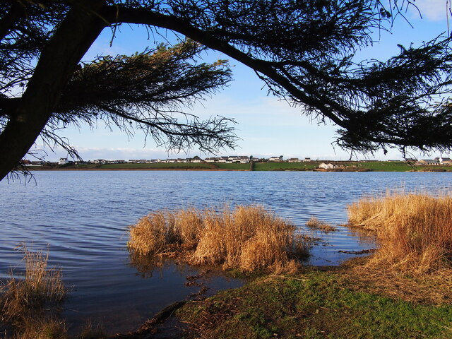
Llyn Maelog is located at Grid Ref: SH3273 (Lat: 53.227685, Lng: -4.5085013)

Unitary Authority: Isle of Anglesey

Police Authority: North Wales

What 3 Words

///jogged.outdoors.decorated. Near Rhosneigr, Isle of Anglesey

Nearby Locations

Llyn Maelog

Related Wikis

Rhosneigr

Rhosneigr (English: ; Welsh: [r̥oːsˈnɛiɡr] ) is a village in the south-west of Anglesey, north Wales. It is situated on the A4080 road. It is south-east...

Rhosneigr railway station

Rhosneigr railway station serves the village of Rhosneigr on the Isle of Anglesey, off the coast of north Wales. The unstaffed station is managed by Transport...

Llanfaelog

Llanfaelog is a village and community in western Anglesey, Wales. It is situated some 13 kilometres south-east of Holyhead and 22 kilometres west of the...

St Maelog's Church, Llanfaelog

St Maelog's Church is a church in the village of Llanfaelog, situated in the Isle of Anglesey, Wales. The present building dates from the 19th century...

Nearby Amenities

Located within 500m of 53.227685,-4.5085013
Barrier: kissing_gate
Lat/Long: 53.2308582/-4.5065644
Barrier: kissing_gate
Lat/Long: 53.2305575/-4.5079881
Barrier: kissing_gate
Lat/Long: 53.2288598/-4.5052278
Post Box
Ref: LL64 104
Lat/Long: 53.2236246/-4.5067497
Crossing
Lat/Long: 53.2303889/-4.5101002
Bench
Backrest: yes
Material: metal
Lat/Long: 53.2237118/-4.5080526
Bench
Backrest: yes
Material: metal
Lat/Long: 53.2243744/-4.5115775
Direction: 185
Generator Method: photovoltaic
Generator Output Electricity: yes
Generator Solar Modules: 4
Generator Source: solar
Generator Type: solar_photovoltaic_panel
Location: roof
Power: generator
Lat/Long: 53.2308363/-4.5104563
Direction: 195
Generator Method: photovoltaic
Generator Output Electricity: yes
Generator Solar Modules: 12
Generator Source: solar
Generator Type: solar_photovoltaic_panel
Location: roof
Power: generator
Lat/Long: 53.2303325/-4.5103423
The data included in this document is from www.openstreetmap.org. The data is made available under ODbL.

Have you been to Llyn Maelog?

Leave your review of Llyn Maelog below (or comments, questions and feedback).