Gockston
Settlement in Renfrewshire
Scotland
Gockston

Gockston is a small village located in the council area of Renfrewshire, Scotland. Situated near the River Clyde, it is part of the larger town of Renfrew and is approximately 6 miles west of Glasgow. Gockston is a rural village surrounded by beautiful countryside, offering residents and visitors a peaceful and scenic environment.
The village is known for its close-knit community and friendly atmosphere. It has a small population, with a mix of residential properties and a few local businesses. The village center consists of a few shops, a pub, and a community center, serving as a hub for social activities and events.
Gockston benefits from its proximity to the nearby town of Renfrew, which provides residents with a wider range of amenities, such as supermarkets, schools, and healthcare facilities. The village also enjoys good transportation links, with regular bus services connecting it to Renfrew and other surrounding areas.
Nature lovers will appreciate the picturesque landscapes surrounding Gockston. The village is close to several parks and green spaces, offering ample opportunities for outdoor activities such as walking, cycling, and picnicking. Additionally, its proximity to the River Clyde provides residents with the chance to enjoy water-based activities, including fishing and boating.
Overall, Gockston is a charming village that offers residents a peaceful countryside setting with easy access to nearby amenities and recreational opportunities.
If you have any feedback on the listing, please let us know in the comments section below.
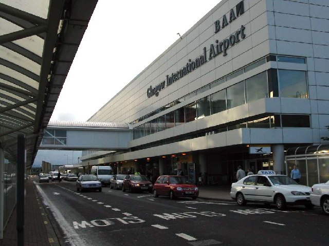
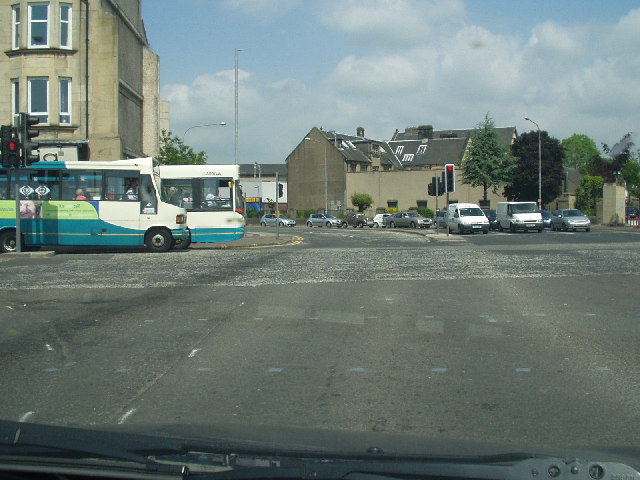
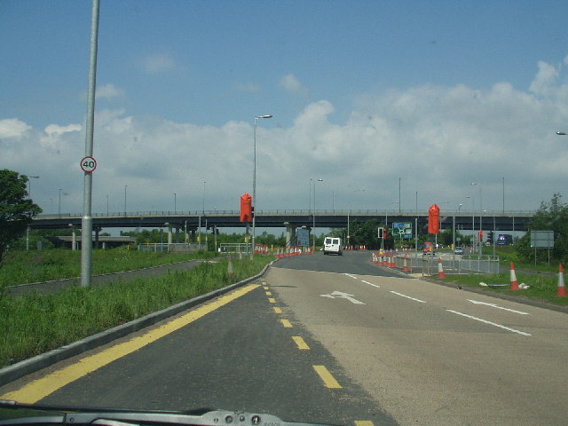
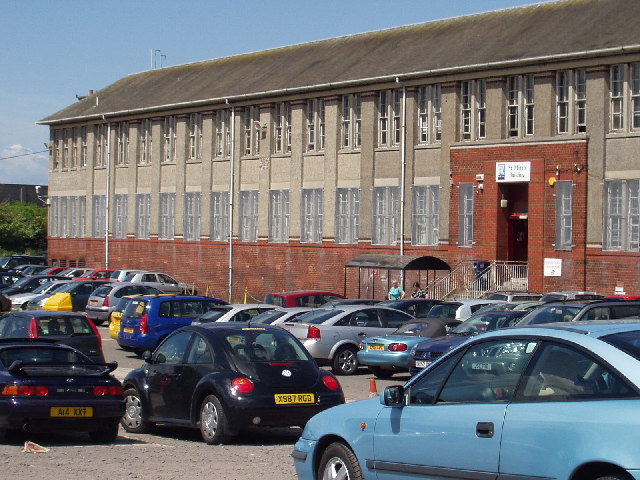
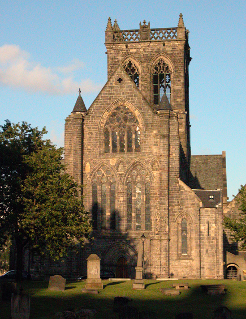
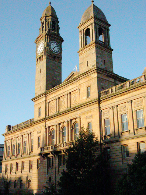
Gockston Images
Images are sourced within 2km of 55.859194/-4.425029 or Grid Reference NS4865. Thanks to Geograph Open Source API. All images are credited.


Gockston is located at Grid Ref: NS4865 (Lat: 55.859194, Lng: -4.425029)
Unitary Authority: Renfrewshire
Police Authority: Renfrewshire and Inverclyde
What 3 Words
///spin.towns.memo. Near Renfrew, Renfrewshire
Nearby Locations
Related Wikis

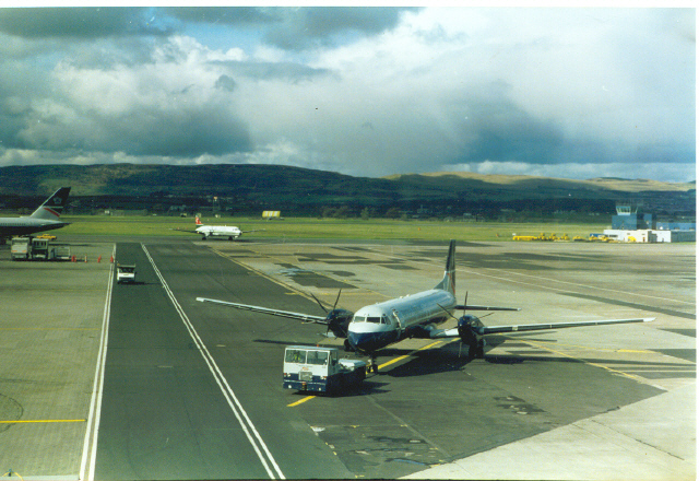
Glasgow Airport railway station
Glasgow Airport railway station is a planned railway station to serve Glasgow Airport, Scotland. Originally intended to open in 2010, the station would...
2007 Glasgow Airport attack
The Glasgow Airport attack was a terrorist ramming attack which occurred on 30 June 2007, at 15:11 BST, when a dark green Jeep Cherokee loaded with propane...
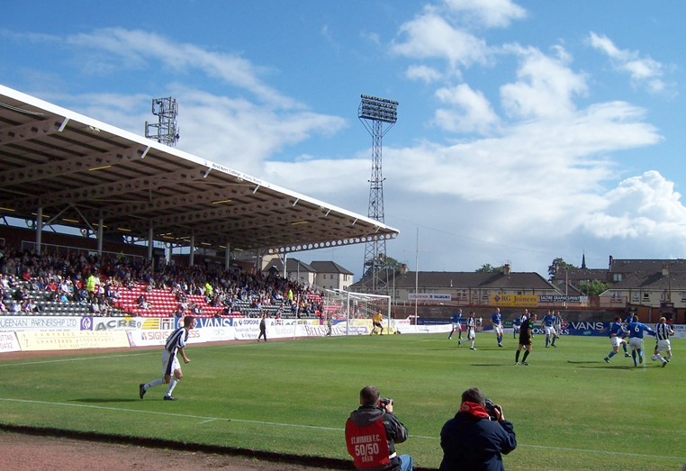
Love Street (stadium)
St Mirren Park, more commonly known as Love Street, was a football stadium located on Love Street in Paisley, Scotland. At one time the stadium was capable...
Paisley Abercorn railway station
Paisley Abercorn railway station was a railway station in Paisley, Renfrewshire, Scotland. The station was built by the Glasgow and South Western railway...
Sandyford Halt railway station
Sandyford railway station served the town of Paisley, Renfrewshire, Scotland, from 1914 to 1967 on the Paisley and Renfrew Railway. == History == The station...

Fountain Gardens, Paisley
Fountain Gardens is in Paisley, Scotland. It has recreational parkland and garden areas which are open to the public. The park is Paisley's oldest public...
Gallowhill
Gallowhill is a housing estate in the north east of Paisley, a town in Renfrewshire, Scotland. Its approximate boundaries are formed by the M8 motorway...
Paisley Hamilton Street railway station
Paisley (Hamilton Street) railway station was an early railway station in Paisley, Renfrewshire, Scotland. It was built in 1837 by the Paisley and Renfrew...
Nearby Amenities
Located within 500m of 55.859194,-4.425029Have you been to Gockston?
Leave your review of Gockston below (or comments, questions and feedback).