Linne na Dabhaich

Lake, Pool, Pond, Freshwater Marsh in Inverness-shire

Scotland

Linne na Dabhaich

Old railway line, by Loch Oich This was the route of the Invergarry and Fort Augustus Railway. The line closed in 1947, and since then it had been largely disused and overgrown.

It has now been cleared and resurfaced - it opened earlier this year as part of National Cycle Network Route 78 and the Great Glen Way. It is a fairly smooth, compacted gravel path, so easy to cycle along.

This part is in a bit of a cutting, with steep rocks to the right. Also some  mixed woodland on either side.
Old railway line, by Loch Oich Credit: Craig Wallace

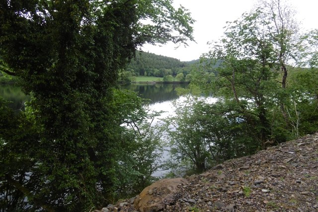
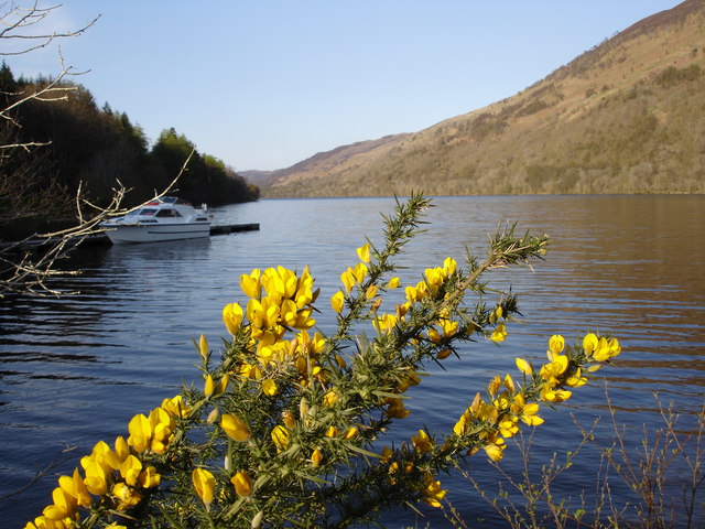
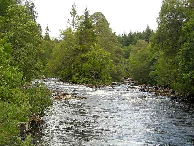
Linne na Dabhaich, located in Inverness-shire, Scotland, is a stunning freshwater marsh that offers a diverse range of plant and animal life. Also known as a lake, pool, or pond, this natural water feature covers an area of approximately 10 acres and is surrounded by lush greenery and rolling hills.

The marsh is home to a variety of aquatic plants, including reeds, rushes, and water lilies, which thrive in the nutrient-rich waters. These plants provide important habitats for numerous species of birds, insects, and small mammals that rely on the marsh for food and shelter.

Birdwatchers will delight in the opportunity to spot a wide array of avian species, such as waterfowl, herons, and wading birds, which are attracted to the marsh's shallow waters and abundant food sources. The surrounding woodland also supports a diverse bird population, including woodland songbirds and birds of prey.

Aside from its ecological importance, Linne na Dabhaich also offers recreational opportunities for visitors. Fishing enthusiasts can enjoy angling for trout and other freshwater fish species that inhabit the lake. The calm and tranquil environment makes it an ideal spot for relaxation and meditation, surrounded by the sounds of nature.

To preserve the delicate balance of the ecosystem, access to Linne na Dabhaich is carefully managed. Visitors are encouraged to follow designated paths and respect the wildlife and vegetation. Educational signage provides information about the flora and fauna found in the area, enhancing the visitor experience and promoting environmental awareness.

Overall, Linne na Dabhaich is a remarkable natural treasure in Inverness-shire, offering a unique blend of scenic beauty and ecological significance. Whether one is a nature lover, birdwatcher, or fishing enthusiast, this freshwater marsh provides an enriching experience for all who visit.

If you have any feedback on the listing, please let us know in the comments section below.

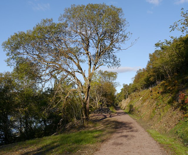
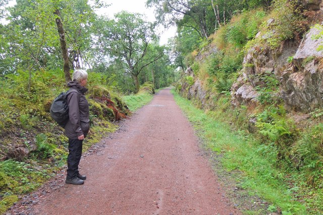
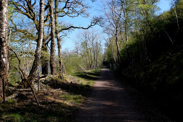
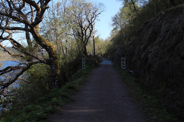
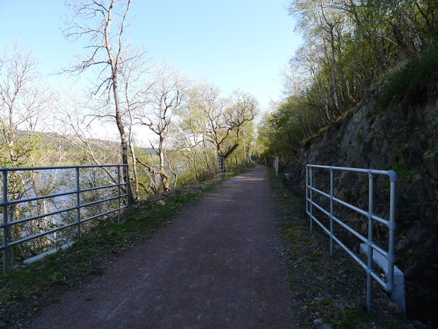
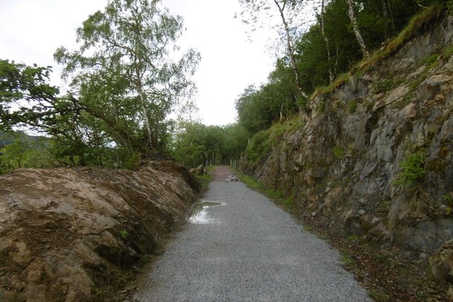
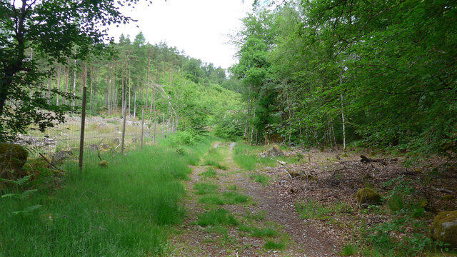
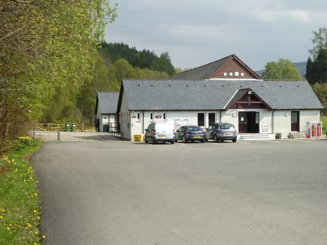
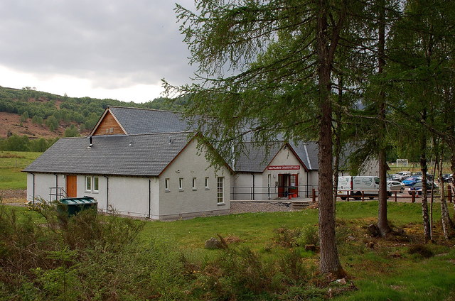
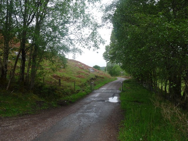
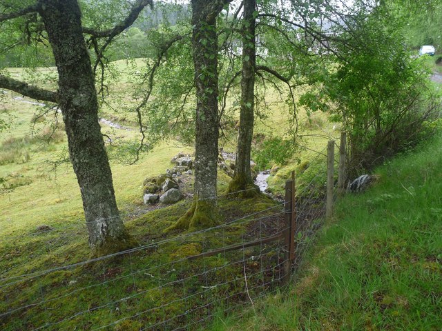
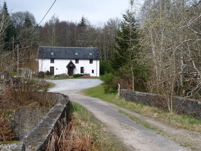
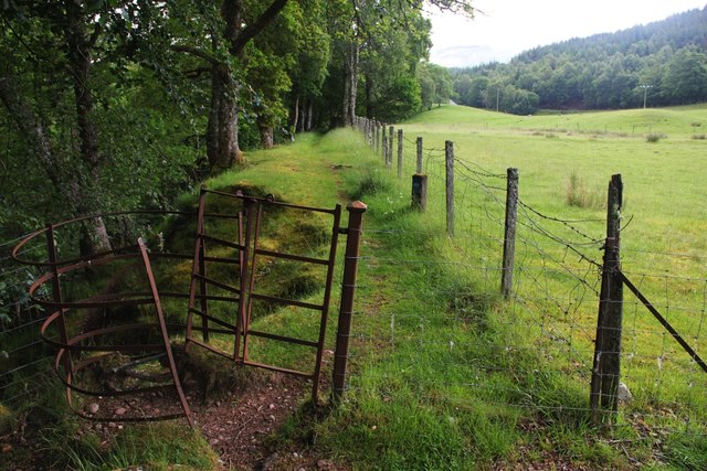
Linne na Dabhaich Images

Images are sourced within 2km of 57.070308/-4.7800407 or Grid Reference NH3101. Thanks to Geograph Open Source API. All images are credited.

Old railway line, by Loch Oich This was the route of the Invergarry and Fort Augustus Railway. The line closed in 1947, and since then it had been largely disused and overgrown.

It has now been cleared and resurfaced - it opened earlier this year as part of National Cycle Network Route 78 and the Great Glen Way. It is a fairly smooth, compacted gravel path, so easy to cycle along.

This part is in a bit of a cutting, with steep rocks to the right. Also some  mixed woodland on either side.
Old railway line, by Loch Oich
This was the route of the Invergarry and Fort Augustus Railway. The line closed in 1947, and since then it had been largely disused and overgrown. It has now been cleared and resurfaced - it opened earlier this year as part of National Cycle Network Route 78 and the Great Glen Way. It is a fairly smooth, compacted gravel path, so easy to cycle along. This part is in a bit of a cutting, with steep rocks to the right. Also some mixed woodland on either side.
On the Great Glen Way by Loch Oich Easy walking on the old railway route on the E side of the loch.
On the Great Glen Way by Loch Oich
Easy walking on the old railway route on the E side of the loch.
Course of the Old Railway above Loch Oich (1) Now adopted by the Great Glen Way National Trail - a new lease of life for the former railway that ran between Spean Bridge and Fort Augustus
Course of the Old Railway above Loch Oich (1)
Now adopted by the Great Glen Way National Trail - a new lease of life for the former railway that ran between Spean Bridge and Fort Augustus
Course of the Old Railway above Loch Oich (2)
'Health and Safety' gone mad? I count eleven pairs of railings visible in this picture of part of the restored trackbed of the Invergarry to Fort Augustus railway. The railings align with concrete drainage culverts. But the likelihood of injury from falling off the track at these points is surely no greater than at any other (non-railinged) part of the track.
'Health and Safety' gone mad?
I count eleven pairs of railings visible in this picture of part of the restored trackbed of the Invergarry to Fort Augustus railway. The railings align with concrete drainage culverts. But the likelihood of injury from falling off the track at these points is surely no greater than at any other (non-railinged) part of the track.
Invergarry and Fort Augustus Railway The railway, over engineered in an area of limited population was a financial disaster.  More over engineering is apparent in the conversion to a path - every culvert has railings, yet you are just as likely to come to grief on any other part of the track.   The rails to trails conversion is very welcome, taking out a long stretch of hostile A82.
Invergarry and Fort Augustus Railway
The railway, over engineered in an area of limited population was a financial disaster. More over engineering is apparent in the conversion to a path - every culvert has railings, yet you are just as likely to come to grief on any other part of the track. The rails to trails conversion is very welcome, taking out a long stretch of hostile A82.
Loch Oich View from the Great Glen Way on the trackbed of the Invergarry and Fort Augustus Railway.
Loch Oich
View from the Great Glen Way on the trackbed of the Invergarry and Fort Augustus Railway.
Loch Oich The wooded shore of the loch near the A82.
Loch Oich
The wooded shore of the loch near the A82.
Hillside on the way to Meall Nan Reitheachan trigpoint
Loch Oich looking North
The track by the Aldernaig Burn
Community and Heritage Centre at Invergarry
Glengarry Community Hall, Invergarry The hall has toilets and a cafe for visitors and is next to the shinty pitch, which was in use this Saturday afternoon.
Glengarry Community Hall, Invergarry
The hall has toilets and a cafe for visitors and is next to the shinty pitch, which was in use this Saturday afternoon.
The road through Mandally An unusually dull scene for May
The road through Mandally
An unusually dull scene for May
A wee burn heads for the River Garry Under the Mandally road and across the last field
A wee burn heads for the River Garry
Under the Mandally road and across the last field
Cottage by an old bridge on the A87, now bypassed
Electricity transmission lines and rough grazing land at Mandally
Folding kissing-gate by the River Garry The path leads from the Great Glen Way (W version) to the bridge over the Garry. If you look carefully you can see that the gate in this construction is made to hinge, but that it is prevented from doing so by a padlock (long rusted).
Folding kissing-gate by the River Garry
The path leads from the Great Glen Way (W version) to the bridge over the Garry. If you look carefully you can see that the gate in this construction is made to hinge, but that it is prevented from doing so by a padlock (long rusted).
Show me another place!

Linne na Dabhaich is located at Grid Ref: NH3101 (Lat: 57.070308, Lng: -4.7800407)

Unitary Authority: Highland

Police Authority: Highlands and Islands

What 3 Words

///baseless.grass.topmost. Near Gairlochy, Highland

Related Wikis

River Garry, Inverness-shire

The River Garry (Scottish Gaelic: Garadh / Abhainn Gharadh) in Inverness-shire is a Scottish river punctuated by two long Lochs, in the region of Lochaber...

Loch Oich

Loch Oich (; Scottish Gaelic: Loch Omhaich) is a freshwater loch in the Highlands of Scotland which forms part of the Caledonian Canal, of which it is...
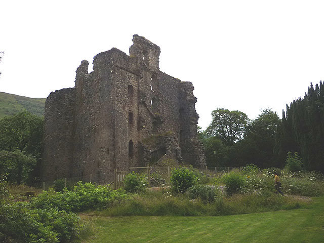
Invergarry Castle

Invergarry Castle in the Scottish Highlands was the seat of the Chiefs of the Clan MacDonell of Glengarry, a powerful branch of the Clan Donald. The castle...

Invergarry

Invergarry (Scottish Gaelic: Inbhir Garadh) is a village in the Highlands of Scotland. It is in the Great Glen, near where the River Garry flows into Loch...

Nearby Amenities

Located within 500m of 57.070308,-4.7800407
Source: Landsat photo
Lat/Long: 57.0691434/-4.774663
Source: Landsat photo
Lat/Long: 57.0693656/-4.7739957
Source: Landsat photo
Lat/Long: 57.0694787/-4.7739006
Source: Landsat photo
Lat/Long: 57.0698711/-4.7731635
Source: Landsat photo
Lat/Long: 57.0699686/-4.7729236
Source: Landsat photo
Lat/Long: 57.0701607/-4.7728846
Glengarry War Memorial
Historic: memorial
Wheelchair: no
Lat/Long: 57.0705138/-4.7834456
Source: Landsat photo
Lat/Long: 57.0689439/-4.7751084
Source: Landsat photo
Lat/Long: 57.0688278/-4.7751973
Source: Landsat photo
Lat/Long: 57.0682035/-4.7755482
Source: Landsat photo
Lat/Long: 57.067989/-4.7759793
Source: Landsat photo
Lat/Long: 57.0679371/-4.7762526
Source: Landsat photo
Lat/Long: 57.0679222/-4.7772916
Source: Landsat photo
Lat/Long: 57.0678785/-4.7774378
Source: Landsat photo
Lat/Long: 57.0675542/-4.7782006
Source: Landsat photo
Lat/Long: 57.0672623/-4.7783553
Source: Landsat photo
Lat/Long: 57.0670028/-4.7789083
Source: Landsat photo
Lat/Long: 57.0666692/-4.7790015
Source: Landsat photo
Lat/Long: 57.0663982/-4.7790194
Source: Landsat photo
Lat/Long: 57.0660799/-4.7796693
Source: Landsat photo
Lat/Long: 57.0702797/-4.7721774
Source: Landsat photo
Lat/Long: 57.0703086/-4.772295
Power: tower
Lat/Long: 57.0731367/-4.7757696
Power: tower
Lat/Long: 57.073979/-4.777408
Power: pole
Lat/Long: 57.0726982/-4.7758769
Power: pole
Lat/Long: 57.0720268/-4.7763904
Power: pole
Lat/Long: 57.0719657/-4.7774504
Power: pole
Lat/Long: 57.071851/-4.7789491
Power: pole
Lat/Long: 57.0717265/-4.7806768
Power: pole
Lat/Long: 57.0715116/-4.7817817
Power: pole
Lat/Long: 57.0711885/-4.7834495
Power: pole
Lat/Long: 57.0710046/-4.7844915
Power: pole
Lat/Long: 57.0708565/-4.7853554
Power: pole
Lat/Long: 57.0708426/-4.7865262
Power: pole
Lat/Long: 57.0714888/-4.7782289
Power: pole
Lat/Long: 57.0731425/-4.7749831
Power: pole
Lat/Long: 57.0732516/-4.7743857
Power: pole
Lat/Long: 57.0673795/-4.7853779
Power: pole
Lat/Long: 57.0676872/-4.7845844
Power: pole
Lat/Long: 57.068462/-4.7825976
Power: pole
Lat/Long: 57.0688258/-4.7817263
Power: pole
Lat/Long: 57.0697105/-4.7818955
Power: pole
Lat/Long: 57.067373/-4.7855575
Power: pole
Lat/Long: 57.0676872/-4.7847521
Power: pole
Lat/Long: 57.0680152/-4.7839107
Building: yes
Note: used to tag houses that need mapping as areas
Lat/Long: 57.0721478/-4.7733102
Building: yes
Note: used to tag houses that need mapping as areas
Lat/Long: 57.0684078/-4.7842534
The data included in this document is from www.openstreetmap.org. The data is made available under ODbL.

Have you been to Linne na Dabhaich?

Leave your review of Linne na Dabhaich below (or comments, questions and feedback).