Crawhin Reservoir

Lake, Pool, Pond, Freshwater Marsh in Renfrewshire

Scotland

Crawhin Reservoir

On Berry Hill The summit of Berry Hill, a small patch of spring green in the midst of brown heather moorland, is marked with the remnants of a small cairn.
On Berry Hill Credit: Mark Nightingale

Crawhin Reservoir, located in Renfrewshire, Scotland, is a freshwater loch known for its picturesque landscape and diverse ecosystem. This body of water, often referred to as a lake or reservoir, covers an area of approximately 80 hectares and is surrounded by rolling hills and lush vegetation.

The reservoir is primarily fed by the Crawhin Burn, a small river that flows into the loch from the surrounding hills. This constant flow of freshwater ensures the ecological balance of the reservoir, supporting a wide variety of flora and fauna.

The water in Crawhin Reservoir is relatively clear and clean, making it an ideal habitat for various aquatic species. Fish such as brown trout and pike can be found in abundance, attracting anglers and fishing enthusiasts from the local area.

In addition to its importance as a fishing spot, Crawhin Reservoir also serves as a vital habitat for many bird species. The surrounding marsh and wetland areas provide nesting grounds for waterfowl such as swans, ducks, and geese. Birdwatchers often visit the reservoir to observe and study these avian inhabitants.

The reservoir also offers recreational activities for visitors, including boating and kayaking. Its tranquil environment and scenic surroundings make it an attractive destination for nature lovers and outdoor enthusiasts.

Overall, Crawhin Reservoir is a beautiful freshwater body that not only supports a diverse ecosystem but also provides opportunities for leisure activities and wildlife observation.

If you have any feedback on the listing, please let us know in the comments section below.

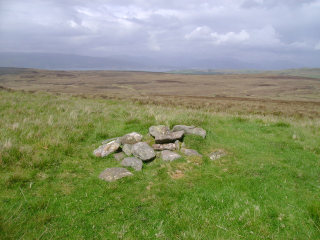
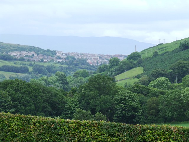
Crawhin Reservoir Images

Images are sourced within 2km of 55.898773/-4.8120318 or Grid Reference NS2470. Thanks to Geograph Open Source API. All images are credited.

On Berry Hill The summit of Berry Hill, a small patch of spring green in the midst of brown heather moorland, is marked with the remnants of a small cairn.
On Berry Hill
The summit of Berry Hill, a small patch of spring green in the midst of brown heather moorland, is marked with the remnants of a small cairn.
Old Largs Road north of Rottenburn Bridge
Near Rottenburn Bridge Near Rottenburn Bridge, on the Scenic Road between Greenock and Largs.
Near Rottenburn Bridge
Near Rottenburn Bridge, on the Scenic Road between Greenock and Largs.
Old Largs Road Passing the trees at Garvock Hill.
Old Largs Road
Passing the trees at Garvock Hill.
Roots and Branches Young conifers grow amongst the roots of a previously harvested older tree. The plantation is in Inverclyde, Berry Hill in the background is in North Ayrshire. Looking north from the SE corner of the square.
Roots and Branches
Young conifers grow amongst the roots of a previously harvested older tree. The plantation is in Inverclyde, Berry Hill in the background is in North Ayrshire. Looking north from the SE corner of the square.
Wenchly Top Inverkip Power Station chimney, the River Clyde and Cowal are visible beyond.
Wenchly Top
Inverkip Power Station chimney, the River Clyde and Cowal are visible beyond.
North Rottenburn Just north of Rottenburn Bridge on the Old Largs Road from Greenock
North Rottenburn
Just north of Rottenburn Bridge on the Old Largs Road from Greenock
Black Linn A small waterfall on North Rotten Burn.
Black Linn
A small waterfall on North Rotten Burn.
Old Largs Road A scenic route between Greenock and Largs which is well worth the diversion, but is a bit of a challenge if cycling! The bridge in the centre marks the Inverclyde (beyond the bridge) and North Ayrshire boundary. The pair of masts in the left distance are at Scroggy Bank.
Old Largs Road
A scenic route between Greenock and Largs which is well worth the diversion, but is a bit of a challenge if cycling! The bridge in the centre marks the Inverclyde (beyond the bridge) and North Ayrshire boundary. The pair of masts in the left distance are at Scroggy Bank.
Kelly Cut This part of the cut has been breached and drained. There has been a lot of earth work on this stretch recently.

Leapmoor Forest, Cauldron Hill and Dunrod Hill are visible in the distance.
Kelly Cut
This part of the cut has been breached and drained. There has been a lot of earth work on this stretch recently. Leapmoor Forest, Cauldron Hill and Dunrod Hill are visible in the distance.
Black Linn A small waterfall on North Rottenburn. See also <a href="https://www.geograph.org.uk/photo/441223">NS2469 : Black Linn</a>.
Black Linn
A small waterfall on North Rottenburn. See also NS2469 : Black Linn.
Sheep This photo shows the steep bank of North Rottenburn near Black Linn waterfall <a href="https://www.geograph.org.uk/photo/441223">NS2469 : Black Linn</a>.
Sheep
This photo shows the steep bank of North Rottenburn near Black Linn waterfall NS2469 : Black Linn.
Firebreak Looking through forestry to Ferret of Keith.
Firebreak
Looking through forestry to Ferret of Keith.
Kelly Cut The path is very muddy after recent prolonged rain.
Kelly Cut
The path is very muddy after recent prolonged rain.
The Kelly Cut The going gets a little more demanding for cyclists towards the west end of the cut.
The Kelly Cut
The going gets a little more demanding for cyclists towards the west end of the cut.
The Kelly Cut The cut skirts the lower slopes of Wenchly Top in the distance in this photo.
The Kelly Cut
The cut skirts the lower slopes of Wenchly Top in the distance in this photo.
Moorland at Kelly Cut Part of Daff Reservoir and Dunrod Hill are visible in the distance.
Moorland at Kelly Cut
Part of Daff Reservoir and Dunrod Hill are visible in the distance.
The Kelly Cut The cut passes through moorland on the lower slopes of Wenchly Top.
The Kelly Cut
The cut passes through moorland on the lower slopes of Wenchly Top.
Show me another place!

Crawhin Reservoir is located at Grid Ref: NS2470 (Lat: 55.898773, Lng: -4.8120318)

Unitary Authority: Inverclyde

Police Authority: Renfrewshire and Inverclyde

What 3 Words

///adhesive.stream.aware. Near Inverkip, Inverclyde

Nearby Locations

Crawhin Reservoir

Related Wikis

Loch Thom

Loch Thom is a reservoir which since 1827 has provided a water supply to the town of Greenock in Inverclyde, Scotland. It is named after the civil engineer...

IBM railway station

IBM railway station (formerly known as IBM Halt) is a currently disused railway station on the Inverclyde Line, 25+1⁄2 miles (41 km) west of Glasgow Central...

Spango Valley

Spango Valley is a steep sided valley to the south-west of Greenock, Scotland. It runs approximately south west to north east for around 2.4 km (1.5 mi...

Inverclyde (UK Parliament constituency)

Inverclyde is a parliamentary constituency of the House of Commons of the Parliament of the United Kingdom. It replaced Greenock and Inverclyde and the...

Nearby Amenities

Located within 500m of 55.898773,-4.8120318
The data included in this document is from www.openstreetmap.org. The data is made available under ODbL.

Have you been to Crawhin Reservoir?

Leave your review of Crawhin Reservoir below (or comments, questions and feedback).