Blae Loch

Lake, Pool, Pond, Freshwater Marsh in Ayrshire

Scotland

Blae Loch

Looking towards Lairdside hill
Looking towards Lairdside hill Credit: Gavin Ferguson

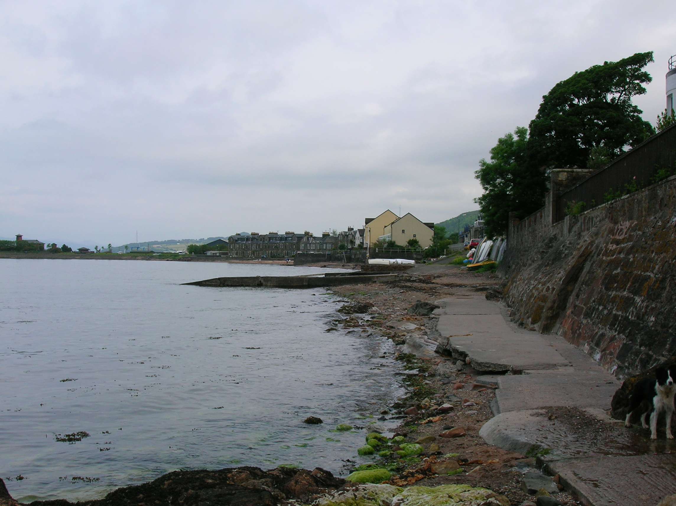
Blae Loch is a small freshwater loch located in Ayrshire, Scotland. It is nestled amidst the stunning natural beauty of the countryside, providing a tranquil oasis for visitors and locals alike. Covering an area of around 3 hectares, it is considered a relatively small body of water.

The loch is surrounded by lush vegetation, including reeds, rushes, and various aquatic plants. These provide a crucial habitat for numerous species of birds, insects, and other wildlife. The diverse range of flora and fauna found in and around Blae Loch make it a popular spot for nature enthusiasts and birdwatchers.

The water of Blae Loch is clear and unpolluted, making it ideal for fishing. The loch is home to several species of fish, including pike, perch, and roach, which attract anglers looking for a peaceful day of fishing.

The surrounding area offers a variety of walking trails and picnic spots, making Blae Loch a popular destination for families and outdoor enthusiasts. It is also a great place for photographers, as the picturesque scenery provides ample opportunities for capturing beautiful shots of the loch and its surroundings.

Blae Loch is easily accessible by road, with a small parking area provided nearby. It is a place where visitors can escape the hustle and bustle of everyday life, connect with nature, and enjoy the peaceful ambiance of the Scottish countryside.

If you have any feedback on the listing, please let us know in the comments section below.
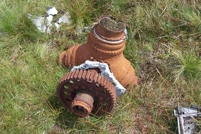
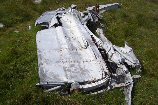
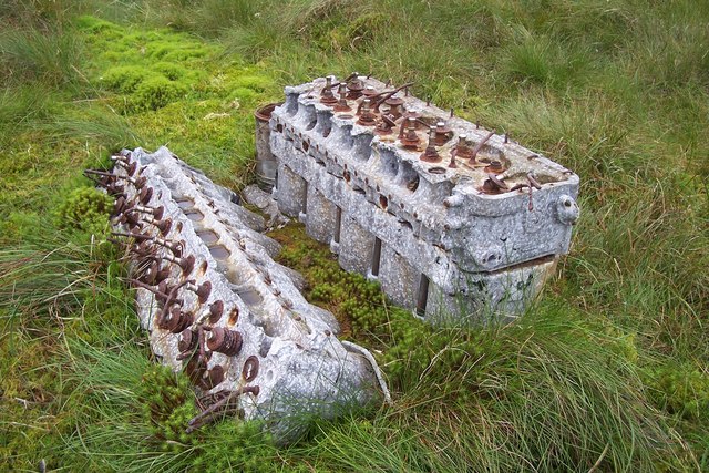
Blae Loch Images

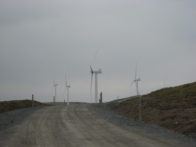
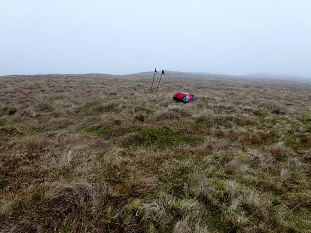
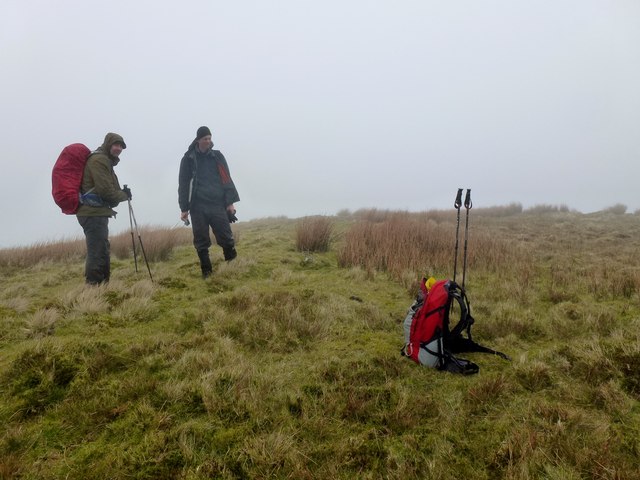
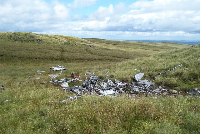
Images are sourced within 2km of 55.759214/-4.8024986 or Grid Reference NS2455. Thanks to Geograph Open Source API. All images are credited.

Looking towards Lairdside hill
Cocklaw Wind Turbine looking West A general view of the turbine population called Kelburn wind farm the Cock Law turbine to the right of this image and the control house in the background.
Cocklaw Wind Turbine looking West
A general view of the turbine population called Kelburn wind farm the Cock Law turbine to the right of this image and the control house in the background.
Wind farm access road near summit Blackloch hill Almost at the top of the main access road just a steep tight corner to go round the side of White Knowes and Blackloch Hill with a background of the new turbines.
Wind farm access road near summit Blackloch hill
Almost at the top of the main access road just a steep tight corner to go round the side of White Knowes and Blackloch Hill with a background of the new turbines.
Blaeloch Hill Done with Bob, Adrian & Mark after Wee Cumbrae. Started in good visibility however this did not last but bagged Brown Hill, a P30 on way down in the drizzly mist.

Name: Blaeloch Hill
Hill number: 1685
Height: 407m / 1335ft
Area: 27A: Ayr to the River Clyde
Class: Ma
Grid ref: NS 24329 55317
Summit feature: no feature
Drop: 185m
Col: 222m  NS240574
Blaeloch Hill
Done with Bob, Adrian & Mark after Wee Cumbrae. Started in good visibility however this did not last but bagged Brown Hill, a P30 on way down in the drizzly mist. Name: Blaeloch Hill Hill number: 1685 Height: 407m / 1335ft Area: 27A: Ayr to the River Clyde Class: Ma Grid ref: NS 24329 55317 Summit feature: no feature Drop: 185m Col: 222m NS240574
Brown Hill Bagged Brown Hill a P30 with Adrian and Mark after Blaeloch Hill, with Bob Taylor preferring to descend via windfarm access track.
Brown Hill
Bagged Brown Hill a P30 with Adrian and Mark after Blaeloch Hill, with Bob Taylor preferring to descend via windfarm access track.
Fairey Firefly Remains On Blaeloch Hill A view of the main bulk of the debris with Blaeloch Hill summit in the distance to the left.
Fairey Firefly Remains On Blaeloch Hill
A view of the main bulk of the debris with Blaeloch Hill summit in the distance to the left.
Fairey Firefly Propeller Hub The propeller hub and reduction gear from the Firefly.
Fairey Firefly Propeller Hub
The propeller hub and reduction gear from the Firefly.
Fairey Firefly Wing Section Firefly remains on Blaeloch Hill.
Fairey Firefly Wing Section
Firefly remains on Blaeloch Hill.
A Fairey Firefly's Rolls-Royce Griffon Engine Corroding remains of the RR Griffon engine are sinking into the peaty soil.
A Fairey Firefly's Rolls-Royce Griffon Engine
Corroding remains of the RR Griffon engine are sinking into the peaty soil.
Frosty Morning Moon Viewed from Beith. Garnock Valley filled with fog. Note the wind turbines on the hills.
Frosty Morning Moon
Viewed from Beith. Garnock Valley filled with fog. Note the wind turbines on the hills.
Fairlie Moor View towards Whatside Hills
Fairlie Moor
View towards Whatside Hills
Cairn on SW top of Blaeloch Hill
Kelburn Wind Farm Control Room & Education Centre
Site of Barrbrae When clear of snow, the outline of the building (just out of the picture) can still be traced on the ground. Many of the stones have been used in the construction of this sheepfold.
Site of Barrbrae
When clear of snow, the outline of the building (just out of the picture) can still be traced on the ground. Many of the stones have been used in the construction of this sheepfold.
Site of Barrbrae When clear of the snow, the outline of the building (just out of the picture) can still be traced on the ground. Many of the stones have been used in the construction of this sheepfold.
Site of Barrbrae
When clear of the snow, the outline of the building (just out of the picture) can still be traced on the ground. Many of the stones have been used in the construction of this sheepfold.
Waymarked route from Fairlie Glen to Kelburn Wind Farm
Cairn on Lairdside Hill
Kelburn Wind Farm near Cock Law
Show me another place!

Blae Loch is located at Grid Ref: NS2455 (Lat: 55.759214, Lng: -4.8024986)

Unitary Authority: North Ayrshire

Police Authority: Ayrshire

What 3 Words

///wage.underline.impaired. Near Fairlie, North Ayrshire

Related Wikis

Kelburn Castle

Kelburn Castle is a large house near Fairlie, North Ayrshire, Scotland. It is the seat of the Earl of Glasgow. Originally built in the thirteenth century...
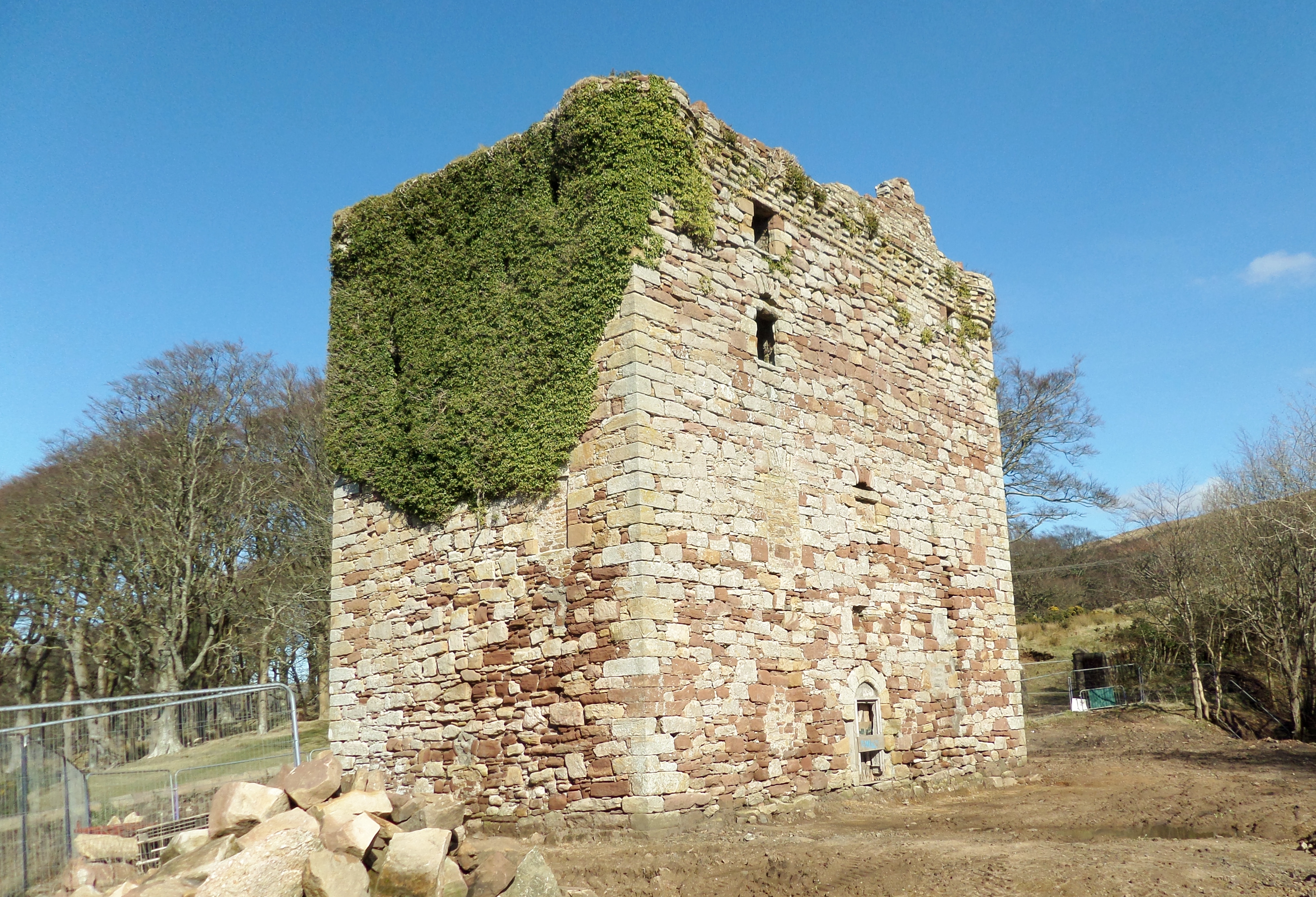
Fairlie Castle

Fairlie Castle is a restored oblong tower castle located on a natural rounded knoll situated above a precipitous section of the Fairlie Glen near the town...

Fairlie, North Ayrshire

Fairlie is a village in North Ayrshire, Scotland. == Location and status == Fairlie sits on the eastern shore of the Firth of Clyde and looks across to...

Fairlie railway station

Fairlie railway station serves the village of Fairlie, North Ayrshire, Scotland. The station is managed by ScotRail and is on the Ayrshire Coast Line....

Nearby Amenities

Located within 500m of 55.759214,-4.8024986
Generator Method: wind_turbine
Generator Output Electricity: yes
Generator Source: wind
Generator Type: horizontal_axis
Power: generator
Source: Bing
Lat/Long: 55.7576987/-4.795524
Blaeloch Hill
Corbett: no
Ele: 407
Graham: no
Marilyn: yes
Munro: no
Natural: peak
Prominence: 185
Lat/Long: 55.7592612/-4.801095
Blackloch Hill
Natural: peak
Lat/Long: 55.7593422/-4.7949263
White Knowes
Natural: peak
Lat/Long: 55.760933/-4.7981462
The data included in this document is from www.openstreetmap.org. The data is made available under ODbL.

Have you been to Blae Loch?

Leave your review of Blae Loch below (or comments, questions and feedback).