Glodwick

Settlement in Lancashire

England

Glodwick

A672 Ripponden Road at Collett Street
A672 Ripponden Road at Collett Street Credit: Colin Pyle

Glodwick is a vibrant town located in the borough of Oldham, Lancashire, England. Situated in the northeastern part of the county, Glodwick is approximately 3 miles away from Oldham town center. The town has a rich history dating back to the Industrial Revolution, when it was primarily known for its textile mills.

Today, Glodwick is a diverse and multicultural community, with a population of around 12,000 residents. The town boasts a lively atmosphere, with a range of amenities and services available to its locals. There are several shops, supermarkets, restaurants, and cafes scattered throughout the area, catering to the needs and tastes of the community.

Education is highly valued in Glodwick, with several primary and secondary schools serving the local population. These schools provide a high standard of education and offer a range of extracurricular activities to enhance students' learning experiences.

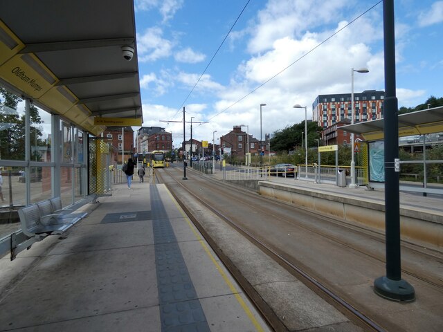
Glodwick is well-connected to other parts of Lancashire and Greater Manchester by road and public transport links. The town has good access to the M60 motorway, allowing for easy commuting to nearby cities. Additionally, Glodwick benefits from regular bus services, providing convenient transportation options for its residents.

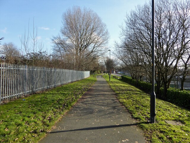
The town is also surrounded by beautiful green spaces, such as Glodwick Park, where locals can enjoy leisurely walks and recreational activities. The park offers a peaceful retreat from the hustle and bustle of daily life.

Overall, Glodwick is a lively and diverse community that offers a range of amenities, excellent educational facilities, and convenient transport links, making it an attractive place to live in Lancashire.

If you have any feedback on the listing, please let us know in the comments section below.
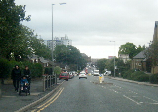
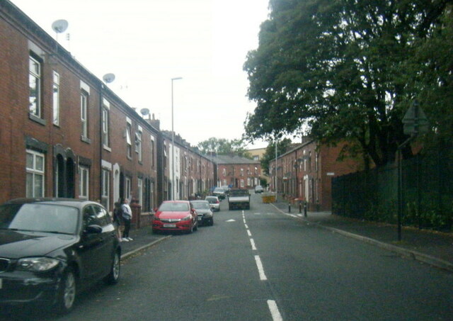
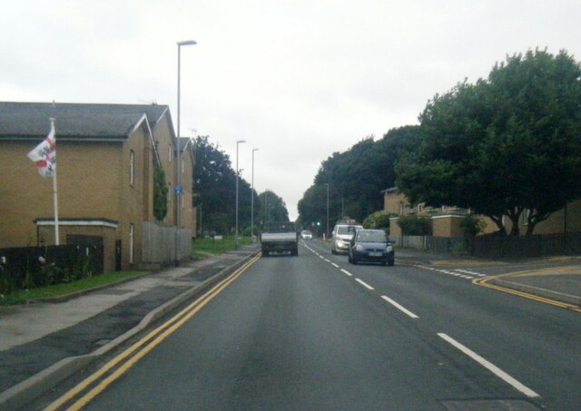
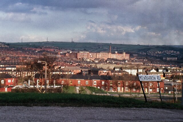
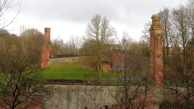
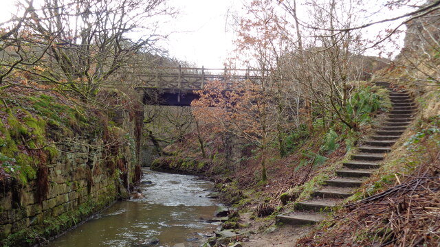
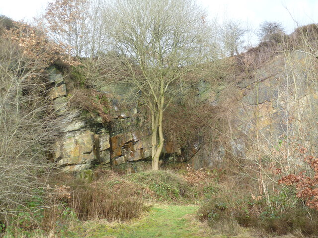
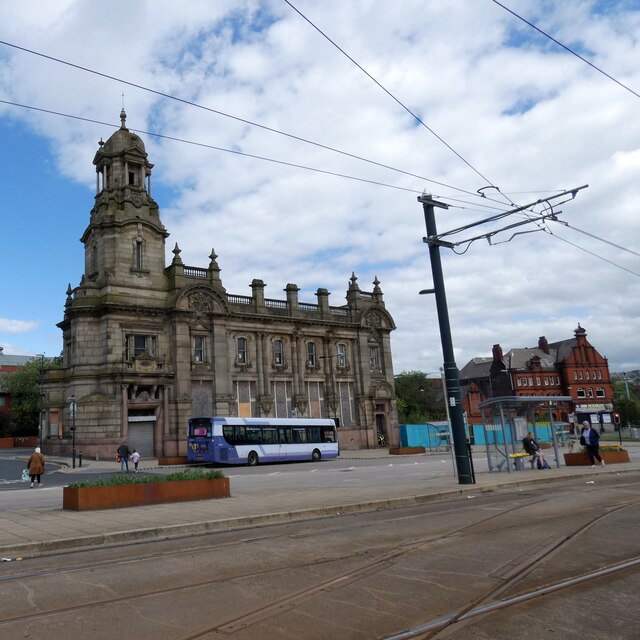
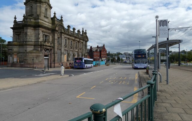
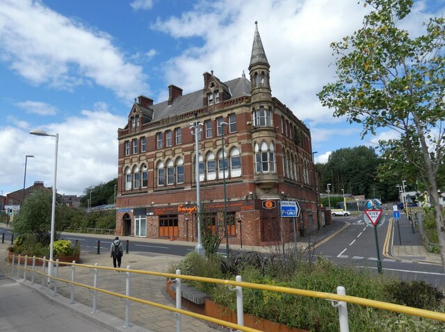
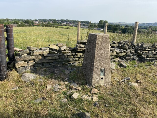
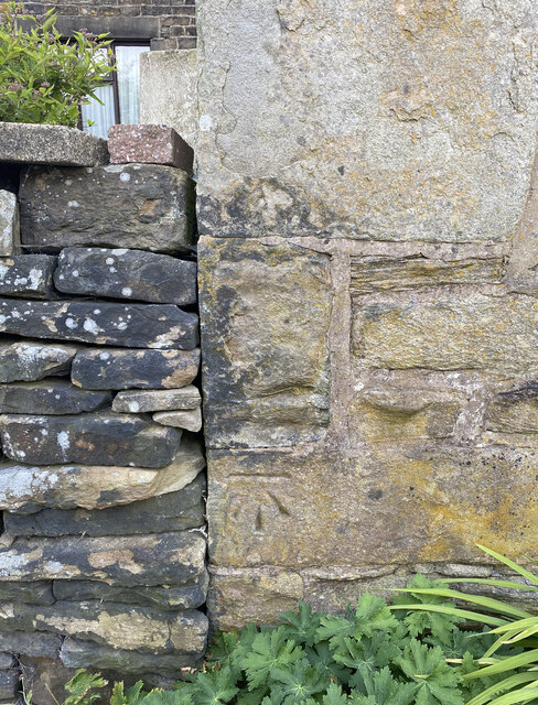
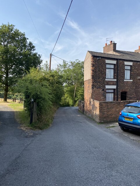
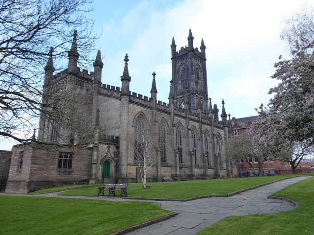
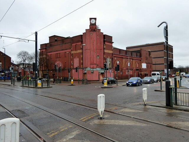
Glodwick Images

Images are sourced within 2km of 53.53396/-2.093509 or Grid Reference SD9304. Thanks to Geograph Open Source API. All images are credited.

A672 Ripponden Road at Collett Street
Horsedge Street, Oldham
Egerton Street at Bridgewater Street, Mumps
Derker Mills, Oldham
Park Bridge Heritage Centre View from Alt Hill Road of the chimneys of the ironworks roller shop to the left and cotton mill to the right
Park Bridge Heritage Centre
View from Alt Hill Road of the chimneys of the ironworks roller shop to the left and cotton mill to the right
Old Tramway Bridge Over the River Medlock at the Park Bridge industrial heritage site
Old Tramway Bridge
Over the River Medlock at the Park Bridge industrial heritage site
Old Quarry On the Park Bridge industrial heritage site
Old Quarry
On the Park Bridge industrial heritage site
Oldham Mumps Tram Stop 
A railway line from Manchester to Oldham was opened in 1847. In 1863 the line was extended to Rochdale. Railway operations ended on 3 October 2009, and the Oldham Loop Line was closed for conversion to Matrolink. The line was completely rebuilt, with all of the former infrastructure, including the former stations and station buildings demolished, and replaced, and overhead wiring added. The line was re-opened in phases: Tram services started on 13 June 2012 between Manchester and Oldham Mumps: As a temporary measure, until the town centre line was completed, the former railway line through Oldham Mumps was retained, and a temporary tram stop constructed in place of the former railway station. A permanent stop called Oldham Mumps was later opened on the town centre line in a different location. Services were extended to Shaw and Crompton on 16 December 2012, and to Rochdale Railway Station on 28 February 2013. The Oldham town centre line opened on 27 January 2014, allowing the section of former railway line, and temporary stop at Oldham Mumps to be permanently closed. The Rochdale town centre line opened on 31 March 2014.
Oldham Mumps Tram Stop
A railway line from Manchester to Oldham was opened in 1847. In 1863 the line was extended to Rochdale. Railway operations ended on 3 October 2009, and the Oldham Loop Line was closed for conversion to Matrolink. The line was completely rebuilt, with all of the former infrastructure, including the former stations and station buildings demolished, and replaced, and overhead wiring added. The line was re-opened in phases: Tram services started on 13 June 2012 between Manchester and Oldham Mumps: As a temporary measure, until the town centre line was completed, the former railway line through Oldham Mumps was retained, and a temporary tram stop constructed in place of the former railway station. A permanent stop called Oldham Mumps was later opened on the town centre line in a different location. Services were extended to Shaw and Crompton on 16 December 2012, and to Rochdale Railway Station on 28 February 2013. The Oldham town centre line opened on 27 January 2014, allowing the section of former railway line, and temporary stop at Oldham Mumps to be permanently closed. The Rochdale town centre line opened on 31 March 2014.
Former NatWest bank 
The Grade II listed former bank <span class="nowrap"><a title="https://historicengland.org.uk/listing/the-list/list-entry/1201682?section=official-list-entry" rel="nofollow ugc noopener" href="https://historicengland.org.uk/listing/the-list/list-entry/1201682?section=official-list-entry">Link</a><img style="margin-left:2px;" alt="External link" title="External link - shift click to open in new window" src="https://s1.geograph.org.uk/img/external.png" width="10" height="10"/></span> at Mumps dates from 1902. The bank, originally the Manchester and County, was created by renowned Manchester architects Mills & Murgatroyd. It featured a unique baroque copper-crowned tower and a polished red granite base. Inside, the banking hall housed a 50ft mahogany counter. The bank was taken over by NatWest in 1970. In 1995 it was closed when NatWest merged their Mumps and Yorkshire Street branches. It was put on the market for £170,000. Plans the following year to turn the building into a pub fell through. Several later refurbishment plans have also failed. The building is a focal point within the bus/metrolink tram interchange.
Former NatWest bank
The Grade II listed former bank LinkExternal link at Mumps dates from 1902. The bank, originally the Manchester and County, was created by renowned Manchester architects Mills & Murgatroyd. It featured a unique baroque copper-crowned tower and a polished red granite base. Inside, the banking hall housed a 50ft mahogany counter. The bank was taken over by NatWest in 1970. In 1995 it was closed when NatWest merged their Mumps and Yorkshire Street branches. It was put on the market for £170,000. Plans the following year to turn the building into a pub fell through. Several later refurbishment plans have also failed. The building is a focal point within the bus/metrolink tram interchange.
Mumps transport interchange 
Next to the Metrolink tram stop at Mumps are several bus stops. On the left is  the Grade II listed former NatWest bank <span class="nowrap"><a title="https://historicengland.org.uk/listing/the-list/list-entry/1201682?section=official-list-entry" rel="nofollow ugc noopener" href="https://historicengland.org.uk/listing/the-list/list-entry/1201682?section=official-list-entry">Link</a><img style="margin-left:2px;" alt="External link" title="External link - shift click to open in new window" src="https://s1.geograph.org.uk/img/external.png" width="10" height="10"/></span> <a href="https://www.geograph.org.uk/photo/7263233">SD9305 : Former NatWest bank</a>.
Mumps transport interchange
Next to the Metrolink tram stop at Mumps are several bus stops. On the left is the Grade II listed former NatWest bank LinkExternal link SD9305 : Former NatWest bank.
17-21 Mumps 
Only the ground floor of this three storey building are currently occupied. Before becoming Frango's this was Fusion 21. Before that the right hand portion had been Kava and the left hand portion  the site office for Westshield. Before Westshield that part had been The Hair Lounge. Around 2012 the right hand side was called  Langham House. In 2009 the building was home to a photography studio Xpressions. All the adjoining buildings towards Yorkshire Street were demolished around 2016. There are plans to convert the upper storeys into apartments.
17-21 Mumps
Only the ground floor of this three storey building are currently occupied. Before becoming Frango's this was Fusion 21. Before that the right hand portion had been Kava and the left hand portion the site office for Westshield. Before Westshield that part had been The Hair Lounge. Around 2012 the right hand side was called Langham House. In 2009 the building was home to a photography studio Xpressions. All the adjoining buildings towards Yorkshire Street were demolished around 2016. There are plans to convert the upper storeys into apartments.
The Rock Trig Point Flush Bracket S2786
OS Cut Mark - Park Bridge, Keverlow Farm <span class="nowrap"><a title="https://www.bench-marks.org.uk/bm60764" rel="nofollow ugc noopener" href="https://www.bench-marks.org.uk/bm60764">Link</a><img style="margin-left:2px;" alt="External link" title="External link - shift click to open in new window" src="https://s1.geograph.org.uk/img/external.png" width="10" height="10"/></span>
OS Cut Mark - Park Bridge, Keverlow Farm
Mill Brow
Mill Brow
Oldham, St Mary the Virgin
Former Grand Theatre Like many such buildings has seen many alternative uses from when it was built as a theatre
Former Grand Theatre
Like many such buildings has seen many alternative uses from when it was built as a theatre
Cycle path following route of former railway The path goes from Oldham to Grotton following the Oldham to Greenfield railway line. Much of the route is on infill such as here looking east from Glodwick Road, Oldham
Cycle path following route of former railway
The path goes from Oldham to Grotton following the Oldham to Greenfield railway line. Much of the route is on infill such as here looking east from Glodwick Road, Oldham
Cycle route following line of former railway This view across Cranbrook Street just off the path shows the route is on the top of infill, since only the bridge parapet is visible of the former railway bridge. The path is on the  former Oldham to Greenfield line.
Cycle route following line of former railway
This view across Cranbrook Street just off the path shows the route is on the top of infill, since only the bridge parapet is visible of the former railway bridge. The path is on the former Oldham to Greenfield line.
Show me another place!

Glodwick is located at Grid Ref: SD9304 (Lat: 53.53396, Lng: -2.093509)

Unitary Authority: Oldham

Police Authority: Greater Manchester

What 3 Words

///dragon.darker.gifted. Near Oldham, Manchester

Related Wikis

Abbey Hills

Abbey Hills (archaically Wabbow Hills) is an area of Oldham in Greater Manchester. It is contiguous with Glodwick and Alt. Lying on the eastern border...

Glodwick

Glodwick is an area of Oldham, Greater Manchester, England. It is south-east of Oldham town centre. Glodwick is a multi-ethnic residential area in the...

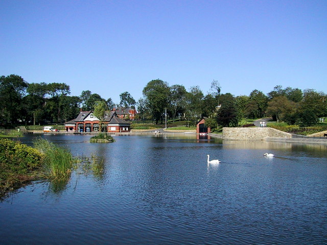
Alexandra Park, Oldham

Alexandra Park is a public park in Oldham, Greater Manchester, England. It was created in response to the Lancashire Cotton Famine of 1861–1865 as an attempt...

Breeze Hill School

Breeze Hill School was a mixed-sex comprehensive secondary school for 11- to 16-year-olds in Oldham, Greater Manchester, England. It was a specialist Humanities...

Nearby Amenities

Located within 500m of 53.53396,-2.093509
Glodwick
Is In: Oldham, Greater Manchester, England, UK
Name Ur: گلاڈ وک
Place: suburb
Source: npe
Wikidata: Q2960815
Lat/Long: 53.5337434/-2.0931822
Bus Stop
Roundthorn Road/Brewerton Road
Bus: yes
Naptan AtcoCode: 1800ED03091
Naptan Bearing: NW
Naptan CommonName: Roundthorn Road/Brewerton Road
Naptan Indicator: House 158
Naptan Landmark: HOUSE 154
Naptan NaptanCode: manajwpw
Naptan PlusbusZoneRef: MNCRPIC
Naptan ShortCommonName: Brewerton Road
Naptan Street: Roundthorn Road
Naptan Verified: no
Network: TfGM
Public Transport: platform
Source: naptan_import
Lat/Long: 53.5361314/-2.0904548
Bus Stop
Roundthorn Road/Brewerton Road
Bus: yes
Naptan AtcoCode: 1800ED03101
Naptan Bearing: SE
Naptan CommonName: Roundthorn Road/Brewerton Road
Naptan Indicator: House 143
Naptan Landmark: FOOD STORE
Naptan NaptanCode: manajwta
Naptan PlusbusZoneRef: MNCRPIC
Naptan ShortCommonName: Brewerton Road
Naptan Street: Roundthorn Road
Naptan Verified: no
Network: TfGM
Public Transport: platform
Source: naptan_import
Lat/Long: 53.5363647/-2.0908778
Bus Stop
Roundthorn Road/Primary School
Bus: yes
Naptan AtcoCode: 1800ED03111
Naptan Bearing: SE
Naptan CommonName: Roundthorn Road/Primary School
Naptan Indicator: Old Church
Naptan Landmark: PRIMARY SCHOOL
Naptan NaptanCode: manajwtd
Naptan PlusbusZoneRef: MNCRPIC
Naptan ShortCommonName: Primary School
Naptan Street: Roundthorn Road
Naptan Verified: no
Network: TfGM
Public Transport: platform
Source: naptan_import
Lat/Long: 53.5340072/-2.0868908
Bus Stop
Roundthorn Road/Primary School
Bus: yes
Naptan AtcoCode: 1800ED03121
Naptan Bearing: NW
Naptan CommonName: Roundthorn Road/Primary School
Naptan Indicator: Nr Primary Sch
Naptan Landmark: HOUSE 294
Naptan NaptanCode: manajwtg
Naptan PlusbusZoneRef: MNCRPIC
Naptan ShortCommonName: Primary School
Naptan Street: Roundthorn Road
Naptan Verified: no
Network: TfGM
Public Transport: platform
Source: naptan_import
Lat/Long: 53.5339623/-2.0869975
Bus Stop
Glodwick, Abbeyhills Road / near Glodwick Road
Bus: yes
Naptan AtcoCode: 1800ED08691
Naptan Bearing: SE
Naptan CommonName: Abbeyhills Road/Glodwick Road
Naptan Indicator: Norbury House
Naptan Landmark: NORBURY HOUSE
Naptan NaptanCode: manamdwa
Naptan PlusbusZoneRef: MNCRPIC
Naptan ShortCommonName: Glodwick Road
Naptan Street: ABBEYHILLS ROAD
Naptan Verified: no
Network: TfGM
Operator: TfGM
Public Transport: platform
Source: naptan_import
Lat/Long: 53.5340864/-2.0962743
Bus Stop
Glodwick, Abbeyhills Road / opposite Glodwick Road
Bus: yes
Naptan AtcoCode: 1800ED08701
Naptan Bearing: NW
Naptan CommonName: Abbeyhills Road/Glodwick Road
Naptan Indicator: Newsagents
Naptan Landmark: NEWSAGENTS
Naptan NaptanCode: manamdwd
Naptan PlusbusZoneRef: MNCRPIC
Naptan ShortCommonName: Glodwick Road
Naptan Street: ABBEYHILLS ROAD
Naptan Verified: no
Network: TfGM
Operator: TfGM
Public Transport: platform
Source: naptan_import
Lat/Long: 53.5337902/-2.0957305
Bus Stop
Glodwick, Abbeyhills Road / near Warren Lane
Bus: yes
Naptan AtcoCode: 1800ED08711
Naptan Bearing: NW
Naptan CommonName: Abbeyhills Road/Warren Lane
Naptan Indicator: Os Club
Naptan Landmark: CLUB
Naptan NaptanCode: manamdwg
Naptan PlusbusZoneRef: MNCRPIC
Naptan ShortCommonName: Warren Lane
Naptan Street: ABBEYHILLS ROAD
Naptan Verified: no
Network: TfGM
Operator: TfGM
Public Transport: platform
Source: naptan_import
Lat/Long: 53.5329468/-2.0938427
Bus Stop
Glodwick, Abbeyhills Road / opposite Warren Lane
Bus: yes
Naptan AtcoCode: 1800ED08721
Naptan Bearing: SE
Naptan CommonName: Abbeyhills Road/Warren Lane
Naptan Indicator: O/s House 143
Naptan Landmark: HOUSE 143
Naptan NaptanCode: manamdwj
Naptan Notes: STOP MOVED
Naptan PlusbusZoneRef: MNCRPIC
Naptan ShortCommonName: Warren Lane
Naptan Street: ABBEYHILLS ROAD
Naptan Verified: no
Network: TfGM
Operator: TfGM
Public Transport: platform
Source: naptan_import
Lat/Long: 53.5324803/-2.092695
Bus Stop
Low Side, Abbeyhills Road / near Vant Street
Bus: yes
Naptan AtcoCode: 1800ED08731
Naptan Bearing: NW
Naptan CommonName: Abbeyhills Road/Vant Street
Naptan Indicator: O/s House 250
Naptan Landmark: HOUSE 250
Naptan NaptanCode: manamdwm
Naptan PlusbusZoneRef: MNCRPIC
Naptan ShortCommonName: Vant Street
Naptan Street: ABBEYHILLS ROAD
Naptan Verified: no
Network: TfGM
Operator: TfGM
Public Transport: platform
Source: naptan_import
Lat/Long: 53.5306133/-2.0892362
Bus Stop
Low Side, Abbeyhills Road / opposite Vant Street
Bus: yes
Naptan AtcoCode: 1800ED08741
Naptan Bearing: SE
Naptan CommonName: Abbeyhills Road/Vant Street
Naptan Indicator: O/s House 279
Naptan Landmark: HOUSE 279
Naptan NaptanCode: manamdwp
Naptan PlusbusZoneRef: MNCRPIC
Naptan ShortCommonName: Vant Street
Naptan Street: ABBEYHILLS ROAD
Naptan Verified: no
Network: TfGM
Operator: TfGM
Public Transport: platform
Source: naptan_import
Lat/Long: 53.5305506/-2.0888739
Bus Stop
New Earth Street/Roundthorn Road
Bus: yes
Naptan AtcoCode: 1800ED09571
Naptan Bearing: NE
Naptan CommonName: New Earth Street/Roundthorn Road
Naptan Indicator: Opp House 117
Naptan Landmark: CHURCH
Naptan NaptanCode: manamgtj
Naptan Notes: INDICATOR AMENDED
Naptan PlusbusZoneRef: MNCRPIC
Naptan ShortCommonName: Roundthorn Road
Naptan Street: New Earth Street
Naptan Verified: no
Network: TfGM
Public Transport: platform
Source: naptan_import
Lat/Long: 53.5358362/-2.0884625
Bus Stop
New Earth Street/Roundthorn Road
Bus: yes
Naptan AtcoCode: 1800ED10451
Naptan Bearing: SW
Naptan CommonName: New Earth Street/Roundthorn Road
Naptan Indicator: Os House 117
Naptan Landmark: CHURCH
Naptan NaptanCode: mantgptm
Naptan Notes: INDICATOR AMENDED
Naptan PlusbusZoneRef: MNCRPIC
Naptan ShortCommonName: Roundthorn Road
Naptan Street: New Earth Street
Naptan Verified: no
Network: TfGM
Public Transport: platform
Source: naptan_import
Lat/Long: 53.5357552/-2.0882341
Bus Stop
Park Road/Retford Street
Bus: yes
Naptan AtcoCode: 1800ED15711
Naptan Bearing: W
Naptan CommonName: Park Road/Retford Street
Naptan Indicator: Opp House 383
Naptan Landmark: HOUSE 393
Naptan NaptanCode: manapgta
Naptan Notes: INDICATOR AMENDED
Naptan PlusbusZoneRef: MNCRPIC
Naptan ShortCommonName: Retford Street
Naptan Street: PARK ROAD
Naptan Verified: no
Network: TfGM
Public Transport: platform
Source: naptan_import
Lat/Long: 53.5347131/-2.0993084
Bus Stop
Park Road/Queens Road
Bus: yes
Naptan AtcoCode: 1800ED15721
Naptan Bearing: E
Naptan CommonName: Park Road/Queens Road
Naptan Indicator: O/s House 405
Naptan Landmark: O/S HOUSE 405
Naptan NaptanCode: manapgtd
Naptan PlusbusZoneRef: MNCRPIC
Naptan ShortCommonName: Queens Road
Naptan Street: PARK ROAD
Naptan Verified: no
Network: TfGM
Public Transport: platform
Source: naptan_import
Lat/Long: 53.5345162/-2.0982367
Bus Stop
Glodwick, Glodwick Road / near Waterloo Street
Bus: yes
Naptan AtcoCode: 1800ED15731
Naptan Bearing: N
Naptan CommonName: Glodwick Road/Waterloo Street
Naptan Indicator: Chip Shop
Naptan Landmark: NEW IMAGE
Naptan NaptanCode: manapgtg
Naptan PlusbusZoneRef: MNCRPIC
Naptan ShortCommonName: Waterloo Street
Naptan Street: GLODWICK ROAD
Naptan Verified: no
Network: TfGM
Operator: TfGM
Public Transport: platform
Source: naptan_import
Lat/Long: 53.5350928/-2.0966689
Bus Stop
Waterloo Street/Glodwick Road
Bus: yes
Naptan AtcoCode: 1800ED15741
Naptan Bearing: SE
Naptan CommonName: Waterloo Street/Glodwick Road
Naptan Indicator: St Marks Church
Naptan Landmark: ST MARKS CHURCH
Naptan NaptanCode: manapgtj
Naptan PlusbusZoneRef: MNCRPIC
Naptan ShortCommonName: Glodwick Road
Naptan Street: WATERLOO STREET
Naptan Verified: no
Network: TfGM
Public Transport: platform
Source: naptan_import
Lat/Long: 53.5354968/-2.0972884
Bus Stop
Glodwick, Glodwick Road / opposite Waterloo Street
Bus: yes
Naptan AtcoCode: 1800ED15791
Naptan Bearing: S
Naptan CommonName: Glodwick Road/Waterloo Street
Naptan Indicator: Kwik Save
Naptan Landmark: SCHOOL
Naptan NaptanCode: manapgwa
Naptan PlusbusZoneRef: MNCRPIC
Naptan ShortCommonName: Waterloo Street
Naptan Street: GLODWICK ROAD
Naptan Verified: no
Network: TfGM
Operator: TfGM
Public Transport: platform
Source: naptan_import
Lat/Long: 53.5362799/-2.0959322
Bus Stop
Glodwick, Glodwick Road / near Bolton Street
Bus: yes
Naptan AtcoCode: 1800ED15801
Naptan Bearing: N
Naptan CommonName: Glodwick Road/Bolton Street
Naptan Indicator: Nr Church
Naptan Landmark: ROCH VALLEY
Naptan NaptanCode: manapgwd
Naptan Notes: INDICATOR AMENDED
Naptan PlusbusZoneRef: MNCRPIC
Naptan ShortCommonName: Bolton Street
Naptan Street: GLODWICK ROAD
Naptan Verified: no
Network: TfGM
Operator: TfGM
Public Transport: platform
Source: naptan_import
Lat/Long: 53.5365675/-2.0960234
Bus Stop
Glodwick, Glodwick Road / opposite Roundthorn Road
Bus: yes
Naptan AtcoCode: 1800ED15811
Naptan Bearing: N
Naptan CommonName: Glodwick Road/Roundthorn Road
Naptan Indicator: Health Cntre Op
Naptan Landmark: CAR Park
Naptan NaptanCode: manapgwg
Naptan PlusbusZoneRef: MNCRPIC
Naptan ShortCommonName: Roundthorn Road
Naptan Street: GLODWICK ROAD
Naptan Verified: no
Network: TfGM
Operator: TfGM
Public Transport: platform
Source: naptan_import
Lat/Long: 53.538015/-2.0954986
Bus Stop
Roundthorn Road/Gladstone Street
Bus: yes
Naptan AtcoCode: 1800ED02681
Naptan Bearing: SE
Naptan CommonName: Roundthorn Road/Gladstone Street
Naptan Indicator: Lay Bye
Naptan Landmark: VENUS FASHIONS
Naptan NaptanCode: manajwmt
Naptan PlusbusZoneRef: MNCRPIC
Naptan ShortCommonName: Gladstone Street
Naptan Street: Roundthorn Road
Naptan Verified: no
Network: TfGM
Public Transport: platform
Source: naptan_import
Lat/Long: 53.5380436/-2.0934314
Noexit: yes
Lat/Long: 53.5367614/-2.096046
Barrier: bollard
Bicycle: yes
Foot: yes
Horse: yes
Motor Vehicle: no
Lat/Long: 53.5327448/-2.1003442
Noexit: yes
Lat/Long: 53.5378397/-2.0957166
Generator Method: photovoltaic
Generator Output Electricity: yes
Generator Source: solar
Generator Type: solar_photovoltaic_panel
Location: roof
Power: generator
Lat/Long: 53.5348892/-2.0942155
Generator Method: photovoltaic
Generator Output Electricity: yes
Generator Source: solar
Generator Type: solar_photovoltaic_panel
Location: roof
Power: generator
Lat/Long: 53.5351794/-2.0946608
Generator Method: photovoltaic
Generator Output Electricity: yes
Generator Source: solar
Generator Type: solar_photovoltaic_panel
Location: roof
Power: generator
Lat/Long: 53.5351746/-2.0947493
Generator Method: photovoltaic
Generator Output Electricity: yes
Generator Source: solar
Generator Type: solar_photovoltaic_panel
Location: roof
Power: generator
Lat/Long: 53.5351523/-2.0948861
Generator Method: photovoltaic
Generator Output Electricity: yes
Generator Source: solar
Generator Type: solar_photovoltaic_panel
Location: roof
Power: generator
Lat/Long: 53.5351347/-2.094135
Generator Method: photovoltaic
Generator Output Electricity: yes
Generator Source: solar
Generator Type: solar_photovoltaic_panel
Location: roof
Power: generator
Lat/Long: 53.5351092/-2.0939875
Generator Method: photovoltaic
Generator Output Electricity: yes
Generator Source: solar
Generator Type: solar_photovoltaic_panel
Location: roof
Power: generator
Lat/Long: 53.5350773/-2.09373
Generator Method: photovoltaic
Generator Output Electricity: yes
Generator Source: solar
Generator Type: solar_photovoltaic_panel
Location: roof
Power: generator
Lat/Long: 53.5350566/-2.0936093
Generator Method: photovoltaic
Generator Output Electricity: yes
Generator Source: solar
Generator Type: solar_photovoltaic_panel
Location: roof
Power: generator
Lat/Long: 53.5350231/-2.0933733
Generator Method: photovoltaic
Generator Output Electricity: yes
Generator Source: solar
Generator Type: solar_photovoltaic_panel
Location: roof
Power: generator
Lat/Long: 53.5349594/-2.0929602
Generator Method: photovoltaic
Generator Output Electricity: yes
Generator Source: solar
Generator Type: solar_photovoltaic_panel
Location: roof
Power: generator
Lat/Long: 53.5349482/-2.0928959
Generator Method: photovoltaic
Generator Output Electricity: yes
Generator Source: solar
Generator Type: solar_photovoltaic_panel
Location: roof
Power: generator
Lat/Long: 53.5349992/-2.0932338
Generator Method: photovoltaic
Generator Output Electricity: yes
Generator Source: solar
Generator Type: solar_photovoltaic_panel
Location: roof
Power: generator
Lat/Long: 53.5356042/-2.0929884
Generator Method: photovoltaic
Generator Output Electricity: yes
Generator Source: solar
Generator Type: solar_photovoltaic_panel
Location: roof
Power: generator
Lat/Long: 53.5350813/-2.092393
Generator Method: photovoltaic
Generator Output Electricity: yes
Generator Source: solar
Generator Type: solar_photovoltaic_panel
Location: roof
Power: generator
Lat/Long: 53.5350925/-2.0917787
Generator Method: photovoltaic
Generator Output Electricity: yes
Generator Source: solar
Generator Type: solar_photovoltaic_panel
Location: roof
Power: generator
Lat/Long: 53.5304311/-2.090592
Generator Method: photovoltaic
Generator Output Electricity: yes
Generator Source: solar
Generator Type: solar_photovoltaic_panel
Location: roof
Power: generator
Lat/Long: 53.5359038/-2.093365
Generator Method: photovoltaic
Generator Output Electricity: yes
Generator Source: solar
Generator Type: solar_photovoltaic_panel
Location: roof
Power: generator
Lat/Long: 53.5377601/-2.0964646
Generator Method: photovoltaic
Generator Output Electricity: yes
Generator Source: solar
Generator Type: solar_photovoltaic_panel
Location: roof
Power: generator
Lat/Long: 53.537753/-2.0965088
Traffic Signals
Traffic Signals: signal
Lat/Long: 53.5342558/-2.097117
Traffic Signals
Traffic Signals: signal
Lat/Long: 53.5343181/-2.0968616
Noexit: yes
Lat/Long: 53.5381262/-2.0929012
Post Box
Brand: Royal Mail
Brand Wikidata: Q638098
Brand Wikipedia: en:Royal Mail
Operator: Royal Mail
Operator Wikidata: Q638098
Lat/Long: 53.5367283/-2.095996
Traffic Signals
Traffic Signals: signal
Traffic Signals Direction: forward
Lat/Long: 53.5342028/-2.0971193
Traffic Signals
Traffic Signals: signal
Traffic Signals Direction: backward
Lat/Long: 53.534324/-2.0969464
Traffic Signals
Traffic Signals: signal
Traffic Signals Direction: backward
Lat/Long: 53.5341469/-2.0968509
Traffic Calming: island
Lat/Long: 53.5330549/-2.0862509
Crossing
Crossing: traffic_signals
Lat/Long: 53.534452/-2.0981116
Traffic Calming: hump
Lat/Long: 53.5347875/-2.0993714
Traffic Calming: hump
Lat/Long: 53.5350509/-2.1003797
Traffic Calming: hump
Lat/Long: 53.5347929/-2.0989166
Place Of Worship
The Salvation Army - Oldham Roundthorn
Addr City: Oldham
Addr Country: GB
Addr Housenumber: 203
Addr Postcode: OL4 5LD
Addr Street: Roundthorn Rd
Denomination: salvation_army
Email: oldham.roundthorn@salvationarmy.org.uk
Phone: 0161 624 6550
Religion: christian
Website: https://www.salvationarmy.org.uk/oldham-roundthorn
Lat/Long: 53.5358219/-2.0888574
The data included in this document is from www.openstreetmap.org. The data is made available under ODbL.

Have you been to Glodwick?

Leave your review of Glodwick below (or comments, questions and feedback).