Globwll

Settlement in Montgomeryshire

Wales

Globwll

Ordnance Survey Cut Mark This OS cut mark can be found on the wall SW side of the road. It marks a point 123.597m above mean sea level.
Ordnance Survey Cut Mark Credit: Adrian Dust

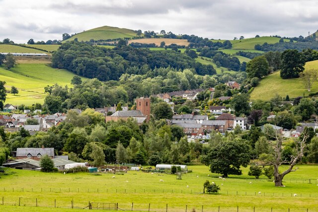
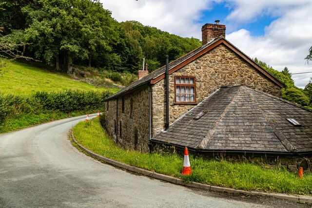
Globwll is a small village located in the county of Montgomeryshire, Wales. Situated in the heart of the picturesque Welsh countryside, it is surrounded by rolling hills and lush green meadows. The village is situated approximately 5 miles east of the town of Welshpool.

Globwll is a close-knit community with a population of around 300 residents. The village is known for its peaceful and tranquil atmosphere, making it an ideal retreat for those seeking a break from the hustle and bustle of city life. The village is predominantly residential, with a scattering of small businesses catering to the needs of the local population.

One of the main attractions in Globwll is its beautiful natural surroundings. The village provides easy access to several walking and cycling trails, allowing residents and visitors to explore the stunning countryside. The nearby Montgomeryshire Canal also offers opportunities for boating and fishing.

Although small, Globwll boasts a strong community spirit, with various social and recreational activities taking place throughout the year. The village has a local pub where residents can gather for a drink and catch up with friends. Additionally, the village hall hosts regular events such as community fairs, dances, and fundraisers.

Overall, Globwll is a charming village that offers a peaceful and idyllic lifestyle amidst the beauty of the Montgomeryshire countryside. Its welcoming community and stunning natural surroundings make it a delightful place to live or visit.

If you have any feedback on the listing, please let us know in the comments section below.
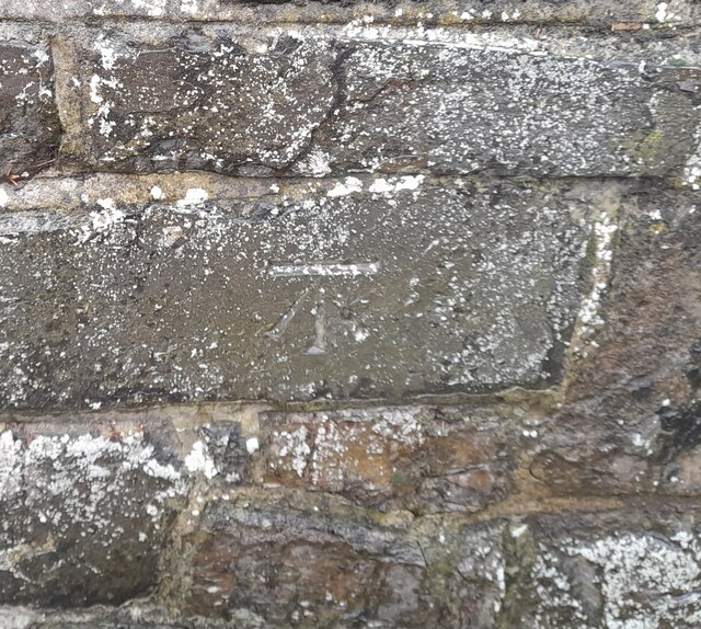
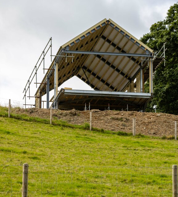
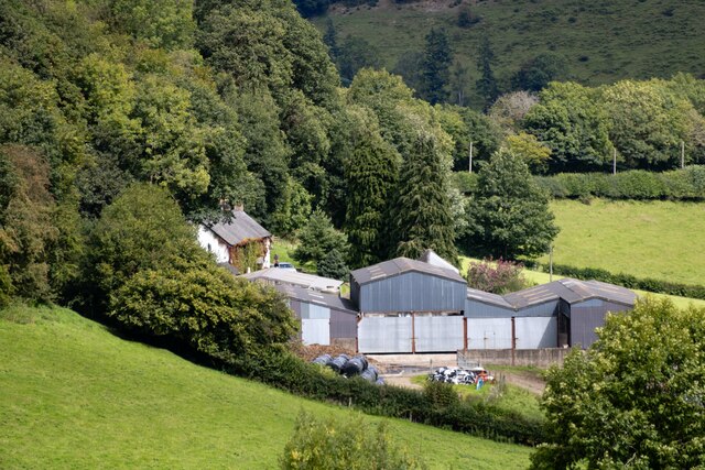
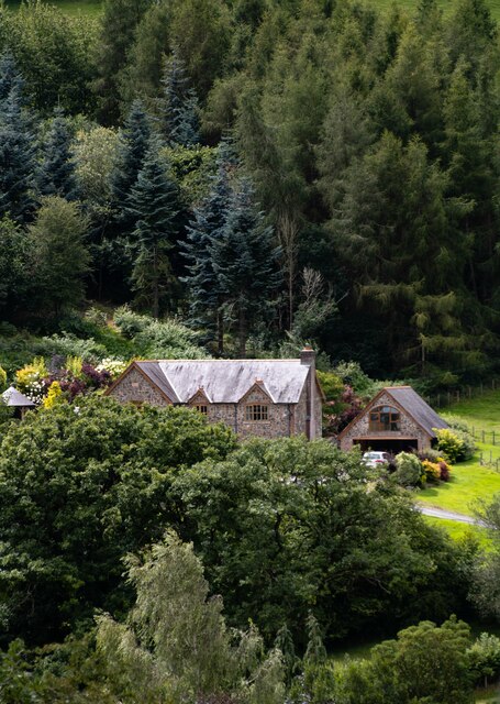
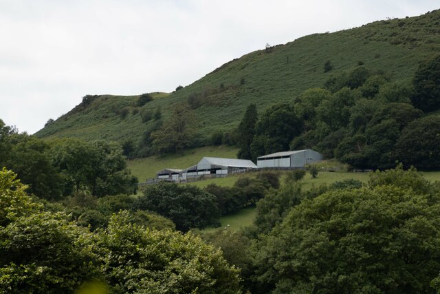
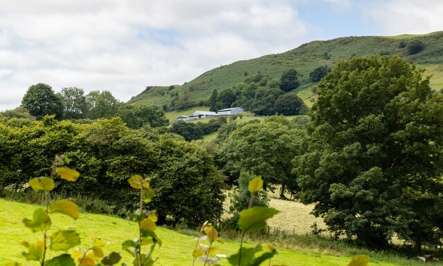
Globwll Images

Images are sourced within 2km of 52.760105/-3.299596 or Grid Reference SJ1218. Thanks to Geograph Open Source API. All images are credited.

Ordnance Survey Cut Mark This OS cut mark can be found on the wall SW side of the road. It marks a point 123.597m above mean sea level.
Ordnance Survey Cut Mark
This OS cut mark can be found on the wall SW side of the road. It marks a point 123.597m above mean sea level.
Ordnance Survey Rivet This OS rivet can be found on the cattle grid north side of the road. It marks a point 328.116m above mean sea level.
Ordnance Survey Rivet
This OS rivet can be found on the cattle grid north side of the road. It marks a point 328.116m above mean sea level.
St. Myllin's church, Llanfyllin
Former Agricultural Worker's Cottages, Llanfyllin
Llanfyllin View over Llanfyllin.
Llanfyllin
View over Llanfyllin.
East Lodge The East Lodge to Bodfach Hall.
East Lodge
The East Lodge to Bodfach Hall.
New House New house under construction near Bachie Ganol.
New House
New house under construction near Bachie Ganol.
Stud Farm
Stud Farm
The Larches
The Larches
Allt-Goch
Allt-Goch
Allt-Goch
Allt-Goch
Old Milestone by the A490, High Street, Llanfyllin By the A490, in parish of Llanfyllin (Powys District), Market Square, Llanfyllin, in front of commemorative stone and memorial.

Inscription reads:- : LAKE VYRNWY / 10-M / CANN OFFICE / 12-M / BALA / 21¾-M {arrow} : : SHREWSBURY / {arrow} / 25-M : : WELSHPOOL / 12-M / OSWESTRY / 14-M / LLANSAINT- / -FFRAID / 6-M / {arrow} : 

Milestone Society National ID: MOT_LFSA00
Old Milestone by the A490, High Street, Llanfyllin
By the A490, in parish of Llanfyllin (Powys District), Market Square, Llanfyllin, in front of commemorative stone and memorial. Inscription reads:- : LAKE VYRNWY / 10-M / CANN OFFICE / 12-M / BALA / 21¾-M {arrow} : : SHREWSBURY / {arrow} / 25-M : : WELSHPOOL / 12-M / OSWESTRY / 14-M / LLANSAINT- / -FFRAID / 6-M / {arrow} : Milestone Society National ID: MOT_LFSA00
Transmitter station at Moel y Fronllwyd Couldn't gain much intelligence as to what this place was about from the signs thereon.  But it did make a great picnic stop.
Transmitter station at Moel y Fronllwyd
Couldn't gain much intelligence as to what this place was about from the signs thereon. But it did make a great picnic stop.
Entering Llanfyllin On the A490 heading south east
Entering Llanfyllin
On the A490 heading south east
No. 1 Market Street, Llanfyllin Grade II listed building (8613) on the corner of High Street and Market Street, Llanfyllin. 

Probably early C19 rebuilding of earlier (C16/C17) buildings on site. Formerly 'The Upper Boar In The Net' Inn, and subsequently from circa 1901, 'Llanfyllin Temperance Hotel'. Mock half-timbering added circa 1900 when windows and doors were re-ordered; dormers added circa 1920s.
No. 1 Market Street, Llanfyllin
Grade II listed building (8613) on the corner of High Street and Market Street, Llanfyllin. Probably early C19 rebuilding of earlier (C16/C17) buildings on site. Formerly 'The Upper Boar In The Net' Inn, and subsequently from circa 1901, 'Llanfyllin Temperance Hotel'. Mock half-timbering added circa 1900 when windows and doors were re-ordered; dormers added circa 1920s.
Market Street, Llanfyllin The centre of Llanfyllin seen from an upstairs window in the Cain Valley Hotel. The building on the immediate left was once the Temperance Hotel and on the right the Town Hall.
Market Street, Llanfyllin
The centre of Llanfyllin seen from an upstairs window in the Cain Valley Hotel. The building on the immediate left was once the Temperance Hotel and on the right the Town Hall.
Market Street, Llanfyllin In Victorian times Market Street was filled with shops but nowadays it is mainly residential. Even the old Moreia Chapel on the right is currently for sale with planning permission for conversion into three flats.
Market Street, Llanfyllin
In Victorian times Market Street was filled with shops but nowadays it is mainly residential. Even the old Moreia Chapel on the right is currently for sale with planning permission for conversion into three flats.
Show me another place!

Globwll is located at Grid Ref: SJ1218 (Lat: 52.760105, Lng: -3.299596)

Unitary Authority: Powys

Police Authority: Dyfed Powys

What 3 Words

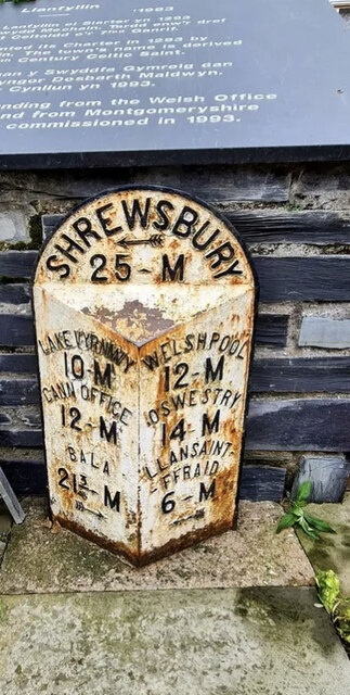
///vowed.thuds.open. Near Llanfyllin, Powys

Nearby Locations

Globwll Oak Wood Pant Wood

Related Wikis

Bodfach

Bodfach is a hamlet in the community of Llanfyllin, Powys, Wales, which is 89 miles (144 km) from Cardiff and 160 miles (257 km) from London.Nearby Bodfach...

Llanfyllin High School

Llanfyllin High School (Welsh: Ysgol Uwchradd Llanfyllin) was a bilingual secondary school situated in the mid-Wales town of Llanfyllin. As of its final...
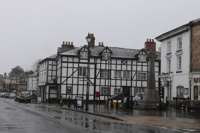
Llanfyllin

Llanfyllin (Welsh pronunciation: [ɬanˈvəɬɪn] – ) is a market town and community in Powys, Wales. The town population in 2021 was 1,586 and the town's...

Tomen yr Allt

Tomen yr Allt (or Domen yr Allt) was a Medieval motte and bailey defensive castle near Llanfyllin in Powys, Wales. "Tomen ar hallt" is modern Welsh for...

Nearby Amenities

Located within 500m of 52.760105,-3.299596
Place: farm
Lat/Long: 52.7564819/-3.2973253
Building: yes
Lat/Long: 52.7605444/-3.3023676
Direction: SSE
Generator Method: photovoltaic
Generator Output Electricity: yes
Generator Solar Modules: 16
Generator Source: solar
Generator Type: solar_photovoltaic_panel
Location: roof
Power: generator
Lat/Long: 52.7604717/-3.3023767
The data included in this document is from www.openstreetmap.org. The data is made available under ODbL.

Have you been to Globwll?

Leave your review of Globwll below (or comments, questions and feedback).