Glenmarkie Lodge

Settlement in Angus

Scotland

Glenmarkie Lodge

Path to north ridge of Hare Cairn The path shown on the OS map is just discernible and slightly better than just walking over rough ground.
Path to north ridge of Hare Cairn Credit: AllanKnaik

Glenmarkie Lodge is a picturesque holiday retreat located in the heart of Angus, Scotland. Nestled in the Cairngorms National Park, this charming lodge offers a serene and idyllic setting for visitors seeking a peaceful escape from the hustle and bustle of everyday life.

The lodge itself is a stunning Victorian building that has been tastefully restored to retain its original charm while incorporating modern amenities. With its elegant architecture and beautiful surroundings, Glenmarkie Lodge offers a truly enchanting experience for guests.

Accommodation at Glenmarkie Lodge consists of well-appointed rooms, each offering a comfortable and cozy retreat for guests. The lodge also features communal areas such as a spacious lounge, a dining room, and a fully equipped kitchen, providing guests with the opportunity to socialize and enjoy their stay together.

The natural beauty of the surrounding area is a major draw for visitors to Glenmarkie Lodge. With its close proximity to the Cairngorms, guests have easy access to a wide range of outdoor activities such as hiking, biking, and fishing. The lodge also boasts its own private gardens, perfect for a leisurely stroll or a picnic on a sunny day.

In addition to its natural beauty, Glenmarkie Lodge is conveniently located near several local attractions, including the historic Glamis Castle and the charming town of Kirriemuir. With its combination of stunning scenery, comfortable accommodations, and convenient location, Glenmarkie Lodge is the perfect destination for those seeking a tranquil and memorable Scottish getaway.

If you have any feedback on the listing, please let us know in the comments section below.

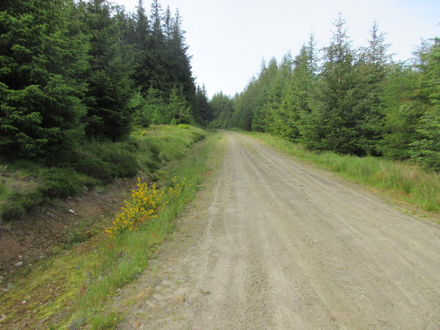
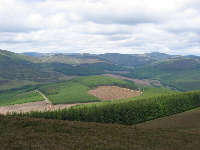
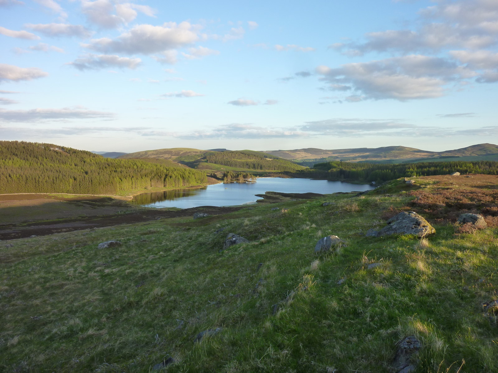
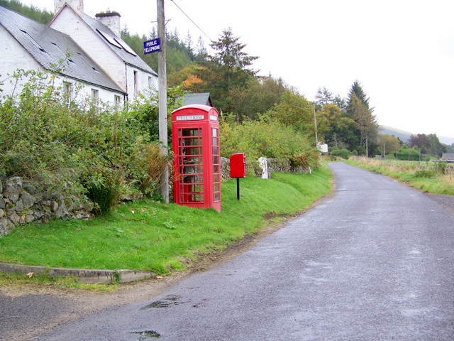
Glenmarkie Lodge Images

Images are sourced within 2km of 56.761215/-3.2610977 or Grid Reference NO2364. Thanks to Geograph Open Source API. All images are credited.

Path to north ridge of Hare Cairn The path shown on the OS map is just discernible and slightly better than just walking over rough ground.
Path to north ridge of Hare Cairn
The path shown on the OS map is just discernible and slightly better than just walking over rough ground.
Forest track north of Tulloch Track heading northwards through the forest north of Tulloch, part of the circular route from Freuchies around Crock.
Forest track north of Tulloch
Track heading northwards through the forest north of Tulloch, part of the circular route from Freuchies around Crock.
Younger plantation Young plantation of trees on the north-western slopes of Crock, with Badandun Hill in the distance.
Younger plantation
Young plantation of trees on the north-western slopes of Crock, with Badandun Hill in the distance.
Birches among the pines Scattered birches in the pine forest next to the track north of Crock.
Birches among the pines
Scattered birches in the pine forest next to the track north of Crock.
Heading back to Freuchies The track beginning its southward journey back to Freuchies on the loop around Crock.
Heading back to Freuchies
The track beginning its southward journey back to Freuchies on the loop around Crock.
Line of pines Remaining pine trees above a new plantation west of Glenmarkie.
Line of pines
Remaining pine trees above a new plantation west of Glenmarkie.
New plantation on the hillside New plantation on the eastern slope of Crock.
New plantation on the hillside
New plantation on the eastern slope of Crock.
Track to Glenmarkie The track heading to Glenmarkie Lodge from Freuchies.
Track to Glenmarkie
The track heading to Glenmarkie Lodge from Freuchies.
Craighead Farmland gives way to the moors over the Muckle Burn.Taken before I disappeared into the forest for many squares.
Craighead
Farmland gives way to the moors over the Muckle Burn.Taken before I disappeared into the forest for many squares.
Tulloch garden Mount Blair seen over the lovely garden at Tulloch, not the usual sight so far up a glen.
Tulloch garden
Mount Blair seen over the lovely garden at Tulloch, not the usual sight so far up a glen.
"Crablogger" This picture was taken at long range and cropped! The beast here devours forests. The arm can grab fell and desprag/debark the trunk in seconds.  I saw the machine later when out of use and it had written on the arm "Danger do not approach within 500ft" A quick conversion reassured me, I took this photo from 400m range, on the way up Crock. 

(Crablogger refers to a similar animal in Thunderbirds- it was of course a) nuclear powered and  b) went wrong)
"Crablogger"
This picture was taken at long range and cropped! The beast here devours forests. The arm can grab fell and desprag/debark the trunk in seconds. I saw the machine later when out of use and it had written on the arm "Danger do not approach within 500ft" A quick conversion reassured me, I took this photo from 400m range, on the way up Crock. (Crablogger refers to a similar animal in Thunderbirds- it was of course a) nuclear powered and b) went wrong)
Crock Near the summit of Crock, the name simply means "hill", usually spelt Cnoc. The summit is a small area of moorland set in a vast conifer plantation. The easiest way up is a track from the north, but felling replanting is likely to change things. View looking north, the striking peak is Mayar (927m)
Crock
Near the summit of Crock, the name simply means "hill", usually spelt Cnoc. The summit is a small area of moorland set in a vast conifer plantation. The easiest way up is a track from the north, but felling replanting is likely to change things. View looking north, the striking peak is Mayar (927m)
Logpiles north of Craigie Law Logs cut and ready to be trucked out of the forest on the road at the left.
Logpiles north of Craigie Law
Logs cut and ready to be trucked out of the forest on the road at the left.
Finlet Burn Several stages in forest management can be seen in this picture.  The banks of the burn are left unplanted, there is a recent clear fell and a couple of different aged plantings. Looking north towards the high Mounth plateau.
Finlet Burn
Several stages in forest management can be seen in this picture. The banks of the burn are left unplanted, there is a recent clear fell and a couple of different aged plantings. Looking north towards the high Mounth plateau.
Glenmarkie A farm in the midst of the forest. The land here is grazed by sheep and cattle (They are currently using a Limousin bull, so lots of beigy-orange calves). The farm is also an equestrian  centre/guest house, the tracks and moors here are all marked with horseshoes - its ideal country for riding.  The background is the forested slope of Hare Cairn,
Glenmarkie
A farm in the midst of the forest. The land here is grazed by sheep and cattle (They are currently using a Limousin bull, so lots of beigy-orange calves). The farm is also an equestrian centre/guest house, the tracks and moors here are all marked with horseshoes - its ideal country for riding. The background is the forested slope of Hare Cairn,
Glenmarkie Lodge Taken from just outside its square, but a fine example of a Highland Lodge.
Glenmarkie Lodge
Taken from just outside its square, but a fine example of a Highland Lodge.
Glenmarkie Farm Horses grazing beyond the all weather training area. Glenmarkie is a secluded guest house offering riding holidays. The forest relents here allowing easy access to vast areas of moorland.
Glenmarkie Farm
Horses grazing beyond the all weather training area. Glenmarkie is a secluded guest house offering riding holidays. The forest relents here allowing easy access to vast areas of moorland.
North Ridge of Hare  Cairn Looking down Hare Cairn. A high deer fence, newly renovated, protects the forest. There is a ride, used by Glenmarkie's horses between the dense forest and the fence. The moorland side is populated by nesting curlews.
The view takes in Glenmarkie Lodge, farm, forest and high Mounth with Mayar and Driesh (far right) as the highest hills on the horizon.
North Ridge of Hare Cairn
Looking down Hare Cairn. A high deer fence, newly renovated, protects the forest. There is a ride, used by Glenmarkie's horses between the dense forest and the fence. The moorland side is populated by nesting curlews. The view takes in Glenmarkie Lodge, farm, forest and high Mounth with Mayar and Driesh (far right) as the highest hills on the horizon.
Show me another place!

Glenmarkie Lodge is located at Grid Ref: NO2364 (Lat: 56.761215, Lng: -3.2610977)

Unitary Authority: Angus

Police Authority: Tayside

What 3 Words

///slab.bypassed.health. Near Alyth, Perth & Kinross

Related Wikis

Auchintaple Loch

Auchintaple Loch also known as Auchenchapel Loch, is a small shallow freshwater loch that is located in Glen Isla in Angus, Scotland. == See also == List...

Kirkton of Glenisla

Kirkton of Glenisla consists of a church and graveyard, a hotel, hall and several homes forming the largest concentration of habitation in Glenisla, Angus...

Folda, Angus

Folda is a hamlet in Glen Isla, Angus, Scotland. It is situated on the River Isla, twelve miles north-west of Kirriemuir and eleven miles north of Blairgowrie...

Brewlands Bridge

Brewlands Bridge is a hamlet in Glen Isla, Angus, Scotland. It is lies situated on the River Isla, eleven miles north-west of Kirriemuir and ten miles...

Have you been to Glenmarkie Lodge?

Leave your review of Glenmarkie Lodge below (or comments, questions and feedback).