Urie Loch
Lake, Pool, Pond, Freshwater Marsh in Buteshire
Scotland
Urie Loch
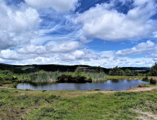
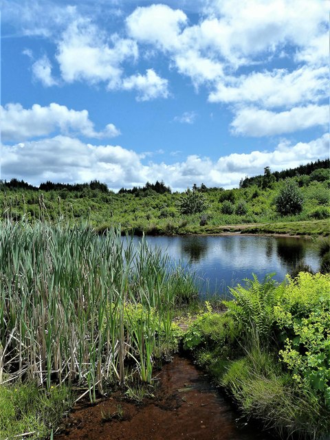
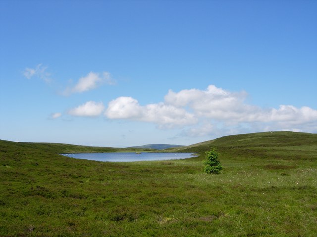
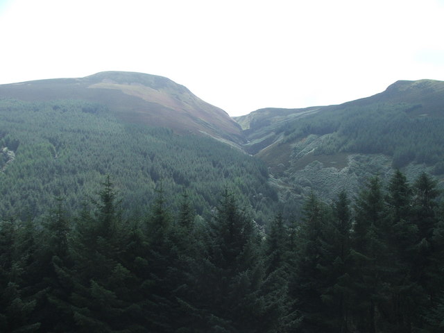
Urie Loch is a beautiful freshwater loch located in the county of Buteshire, Scotland. It is situated near the village of Port Bannatyne and is surrounded by picturesque countryside and rolling hills. The loch covers an area of approximately 40 hectares and reaches a maximum depth of around 6 meters.
The tranquil Urie Loch is a popular spot for outdoor enthusiasts and nature lovers. Its calm waters provide an ideal environment for a variety of recreational activities, including fishing, boating, and kayaking. Anglers can find an abundance of fish species in the loch, such as brown trout and pike, making it a great destination for fishing enthusiasts.
The loch also offers a perfect habitat for various bird species, attracting birdwatchers from near and far. Visitors can often spot a range of waterbirds, including swans, ducks, and herons, as well as a variety of woodland birds that reside in the surrounding trees.
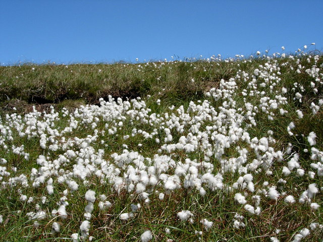
Urie Loch is surrounded by lush vegetation and reeds, creating a freshwater marsh ecosystem. This marshland provides a habitat for an array of plant species, including water lilies and rushes. The diverse flora and fauna found in and around the loch make it a haven for wildlife, offering a peaceful and serene environment for both humans and animals alike.
Overall, Urie Loch is a hidden gem in Buteshire, offering a tranquil escape and a chance to immerse oneself in the beauty of nature. Whether it's fishing, birdwatching, or simply enjoying the peaceful surroundings, Urie Loch provides a delightful experience for visitors of all ages.
If you have any feedback on the listing, please let us know in the comments section below.
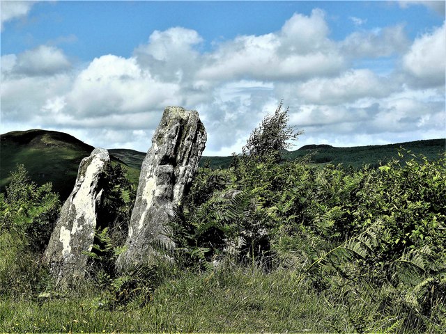
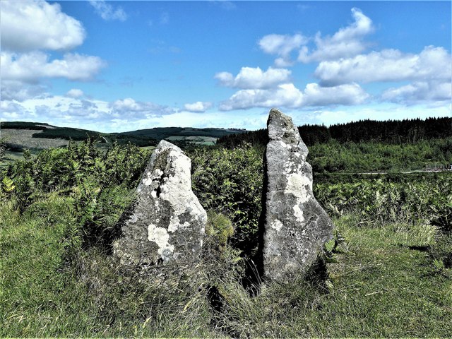
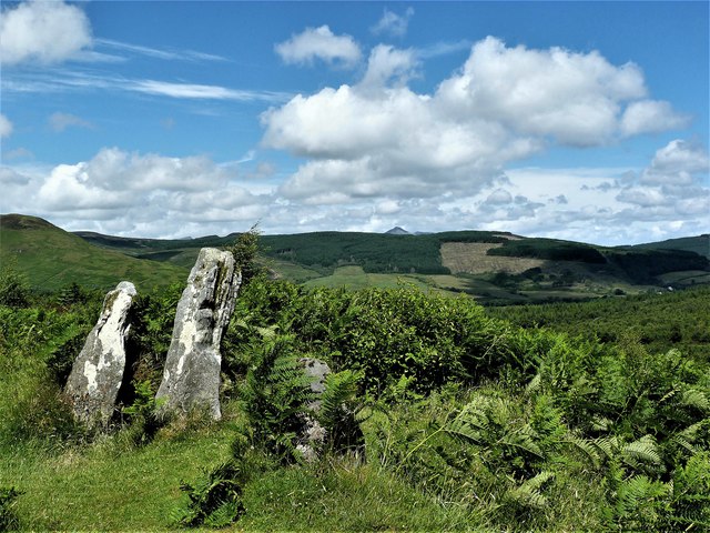
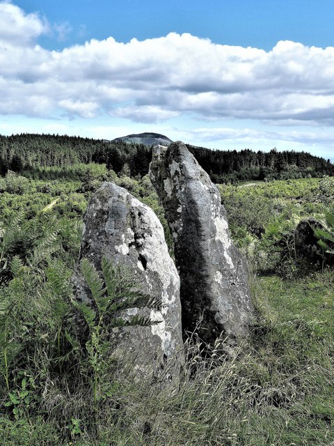
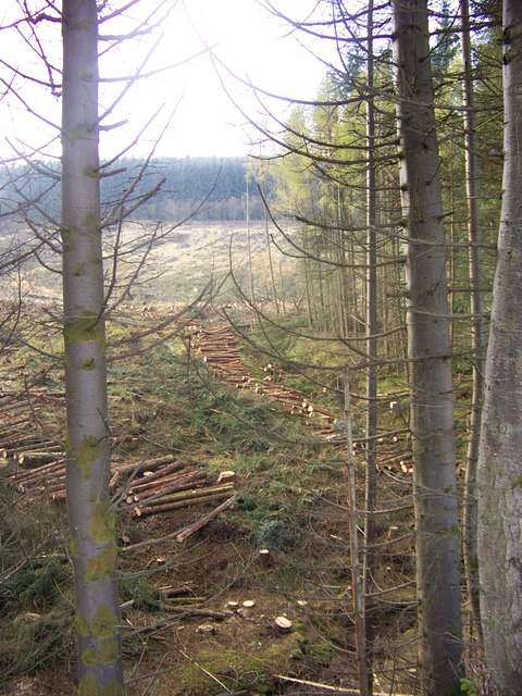
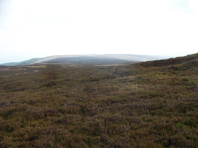
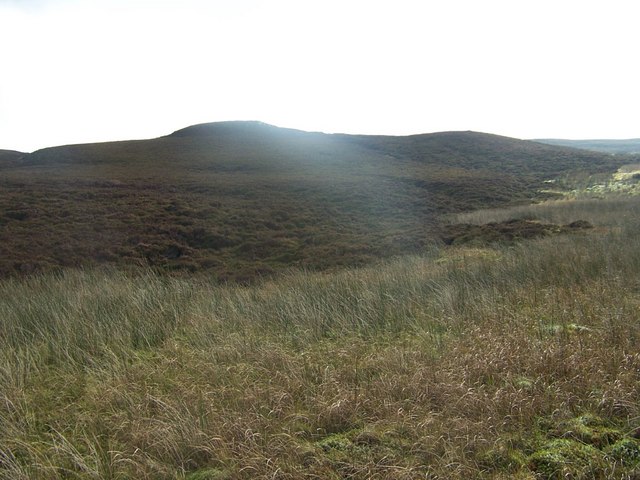
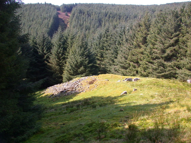
Urie Loch Images
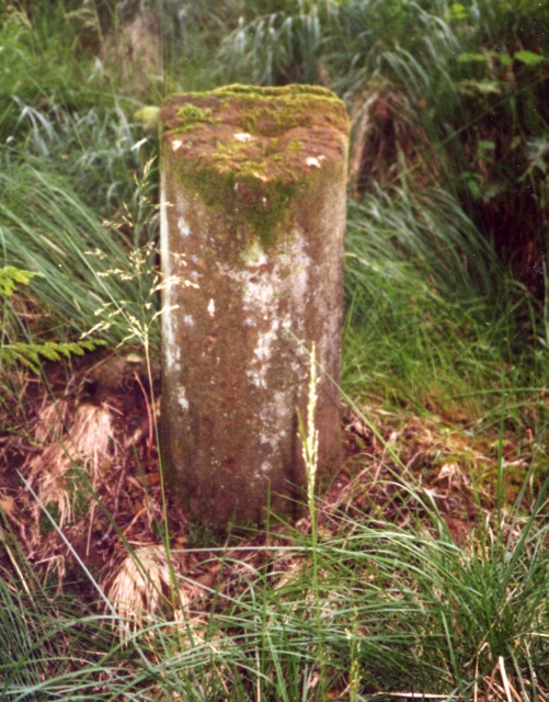
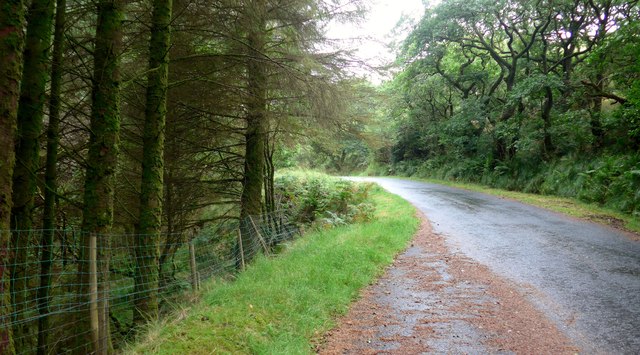
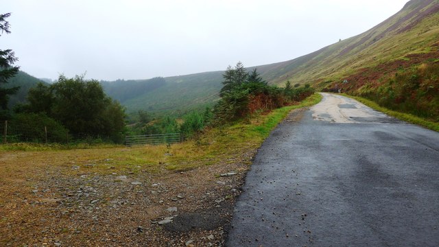
Images are sourced within 2km of 55.505337/-5.1648073 or Grid Reference NS0028. Thanks to Geograph Open Source API. All images are credited.
Urie Loch is located at Grid Ref: NS0028 (Lat: 55.505337, Lng: -5.1648073)
Unitary Authority: North Ayrshire
Police Authority: Ayrshire
What 3 Words
///hotels.treatable.viewing. Near Lamlash, North Ayrshire
Related Wikis
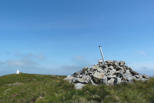
Tighvein
Tighvein (Scottish Gaelic: Taobh Bheinn) is a hill above Lamlash on the Isle of Arran in western Scotland. It is a Marilyn (a hill with topographic prominence...
Carn Ban, Arran
Carn Ban is a Neolithic chambered tomb located on the Isle of Arran in Scotland (grid reference NR99102618). == Description == Carn Ban is situated in...

Eas a' Chrannaig
Eas a' Chrannaig also known as the Glenashdale Falls is a waterfall on the island of Arran, Scotland. There are a series of falls on the Glenashdale Burn...

Lamlash
Lamlash (Scottish Gaelic: An t-Eilean Àrd) is a village on the Isle of Arran, in the Firth of Clyde, Scotland. It lies three miles (five kilometres) south...
Have you been to Urie Loch?
Leave your review of Urie Loch below (or comments, questions and feedback).