Glebe
Settlement in Durham
England
Glebe
Glebe is a small village located in the County Durham, in the northeast of England. Situated approximately 7 miles northwest of Durham city, Glebe falls within the jurisdiction of the Durham County Council. The village is nestled amidst picturesque countryside, with rolling hills and green fields surrounding it.
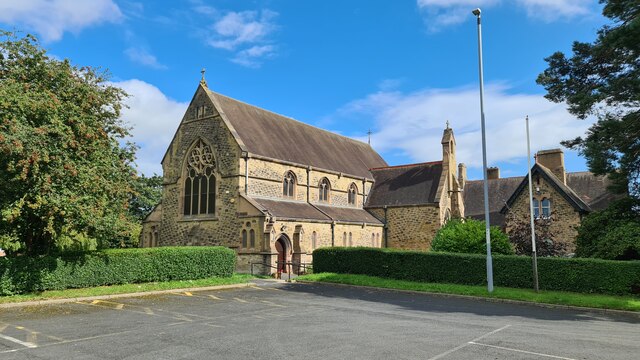
Glebe is a close-knit community with a population of around 500 residents. The village predominantly consists of traditional stone-built houses and cottages, adding to its charming character. The architecture reflects the area's rich history, with some buildings dating back several centuries. The local church, St. Mary's, is a notable landmark, known for its beautiful stained-glass windows and historic bell tower.
Despite its small size, Glebe offers some essential amenities to its residents. These include a primary school, a local shop, and a village hall, which serves as a hub for community events and gatherings. The village also boasts a playground and recreational green spaces, providing opportunities for outdoor activities.
Glebe's rural location offers residents and visitors a peaceful setting, away from the hustle and bustle of city life. The village is surrounded by scenic countryside, making it an ideal spot for nature lovers and outdoor enthusiasts. The nearby River Wear offers opportunities for fishing and leisurely walks along its banks.
Overall, Glebe is a tranquil village that offers a close community spirit and a serene countryside setting, making it an attractive place to live or visit for those seeking a slower pace of life.
If you have any feedback on the listing, please let us know in the comments section below.
Glebe Images
Images are sourced within 2km of 54.898536/-1.523747 or Grid Reference NZ3056. Thanks to Geograph Open Source API. All images are credited.

Glebe is located at Grid Ref: NZ3056 (Lat: 54.898536, Lng: -1.523747)
Unitary Authority: Sunderland
Police Authority: Northumbria
What 3 Words
///fuel.king.fear. Near Washington, Tyne & Wear
Nearby Locations
Related Wikis

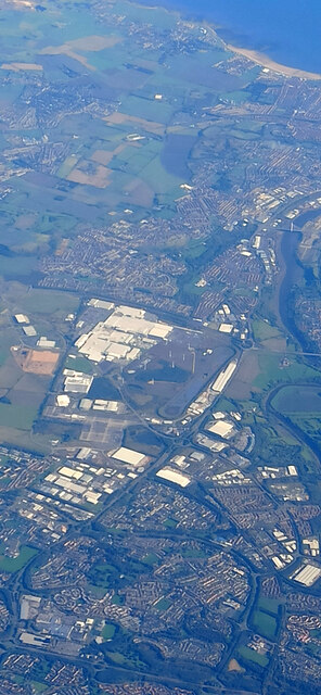
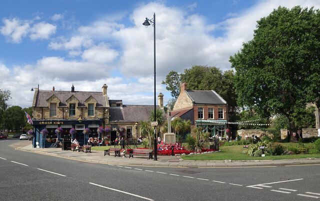
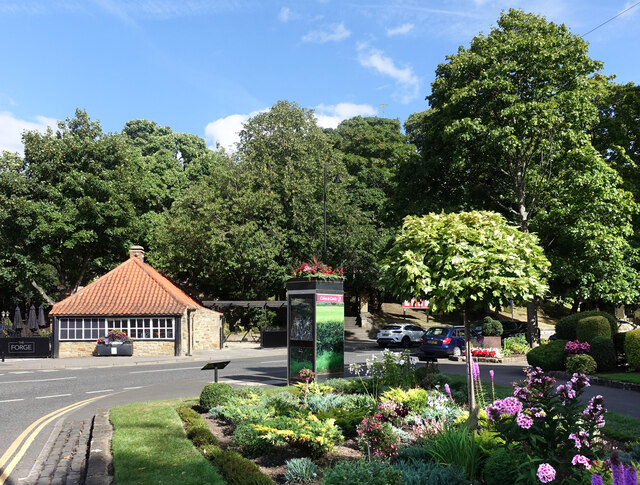
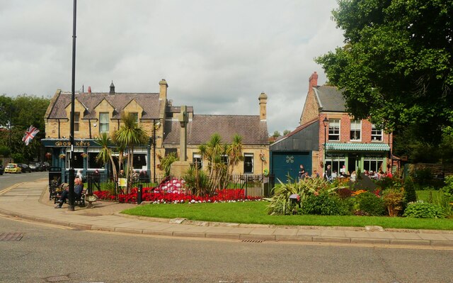
Washington, Tyne and Wear
Washington is a town in the City of Sunderland district of Tyne and Wear, England. Historically part of County Durham, it is the ancestral settlement of...

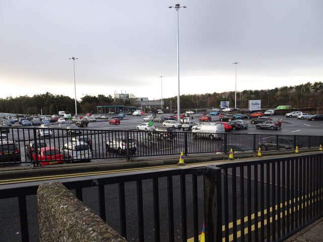
Galleries Shopping Centre, Washington
Galleries Shopping Centre is a shopping centre located in Washington, City of Sunderland. == Shops == The shopping centre comprises over 200 retail units...

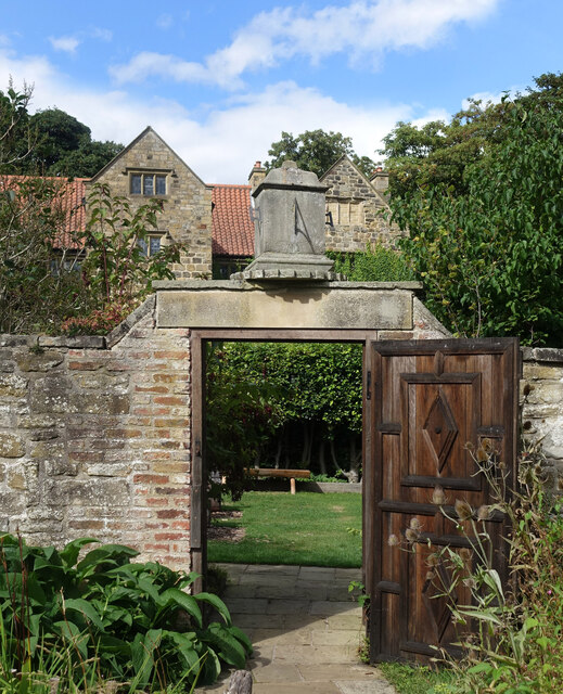
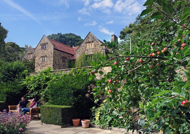
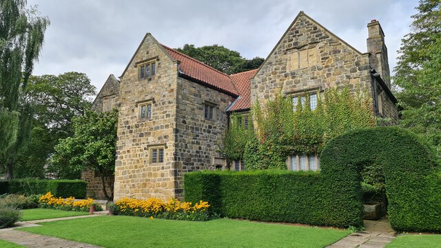
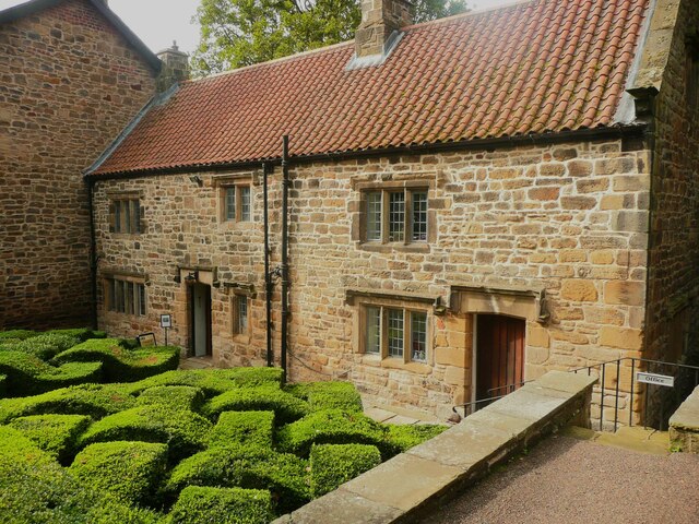
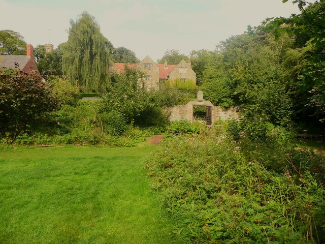
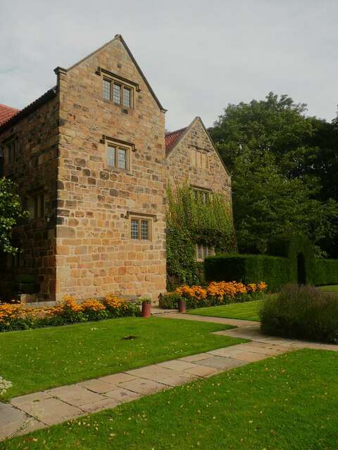
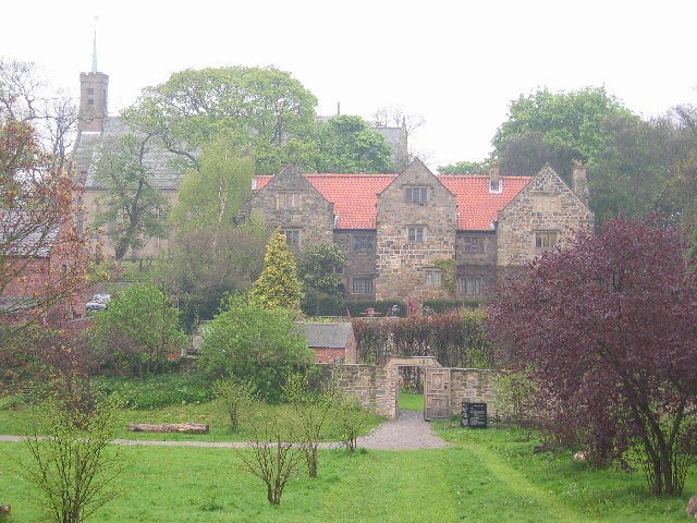
Washington Old Hall
Washington Old Hall is a historic manor house in Washington, Tyne and Wear, England. It lies in the centre of Washington, being surrounded by other villages...

Columbia, Tyne and Wear
Columbia is one of the village subdivisions of the town of Washington, Tyne and Wear, England. == References == === Cross-reference === === Sources ===
Washington Academy, Sunderland
Washington Academy (formerly Washington Grammar School and then Washington School) is a co-educational secondary school located in Washington in the City...
St Robert of Newminster Catholic School
St Robert of Newminster Catholic School is a co-educational secondary school and sixth form located in Washington in the City of Sunderland, Tyne and Wear...
Biddick Lane railway station
Biddick Lane railway station served the Fatfield area of Washington, in Tyne and Wear (historically County Durham), England. It was on the former Stanhope...
Oxclose
Oxclose is an area of Washington, Tyne and Wear, England. It is located between the A1231, A182 and A195 highways, close to Sunderland, and is well served...
Nearby Amenities
Located within 500m of 54.898536,-1.523747Have you been to Glebe?
Leave your review of Glebe below (or comments, questions and feedback).