Gleann Dail bho Dheas

Settlement in Inverness-shire

Scotland

Gleann Dail bho Dheas

Southern shore of South Uist White sandy beach and gneiss outcrops on the Sound of Eriskay.
Southern shore of South Uist Credit: Richard Webb

The requested URL returned error: 429 Too Many Requests

If you have any feedback on the listing, please let us know in the comments section below.

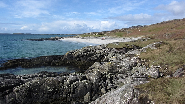
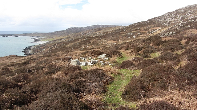
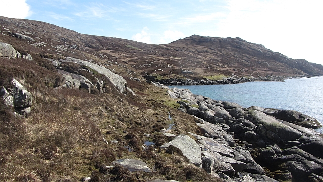
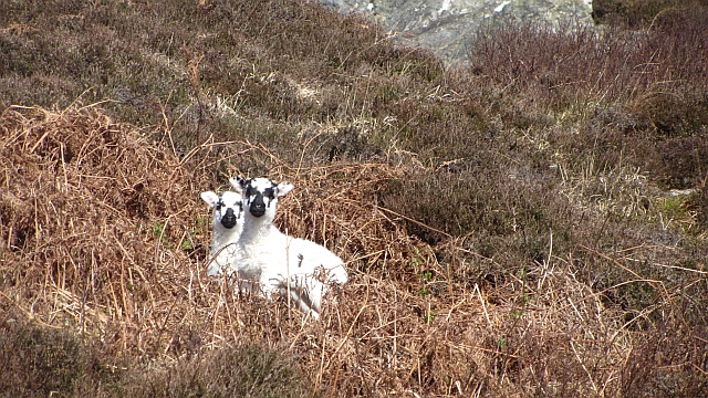
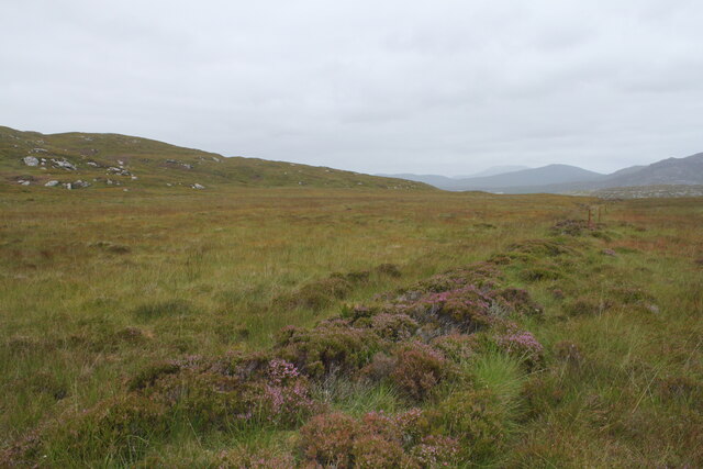
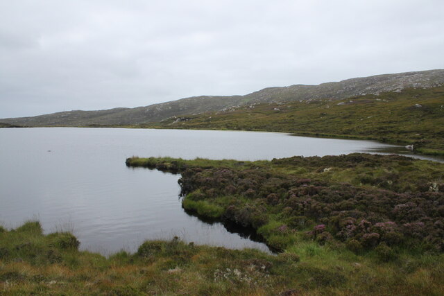
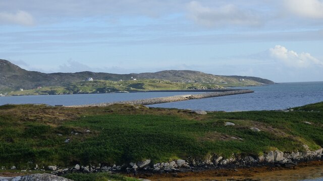
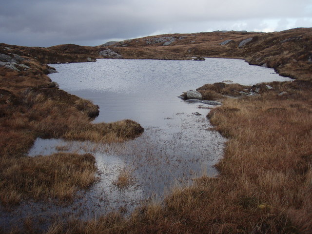
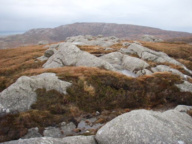
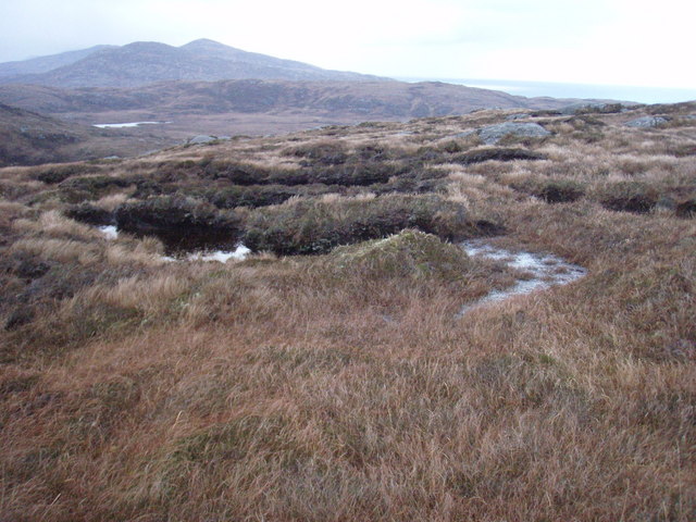
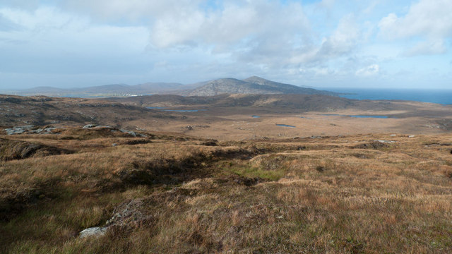
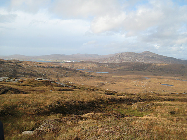
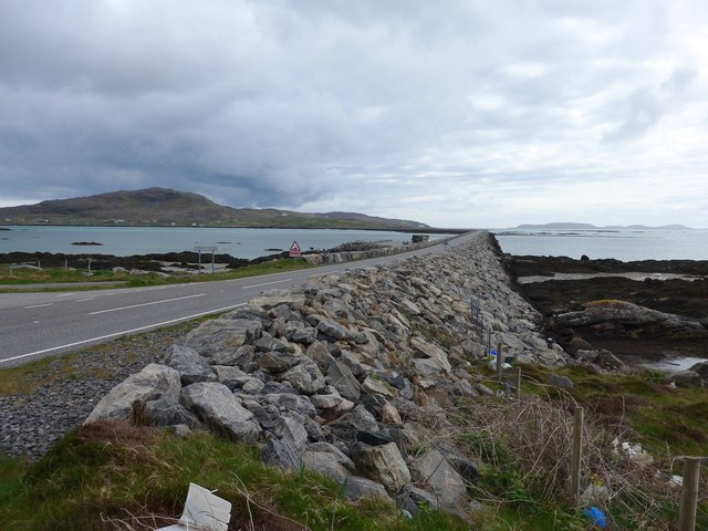
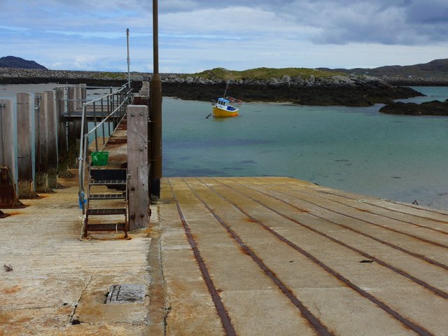
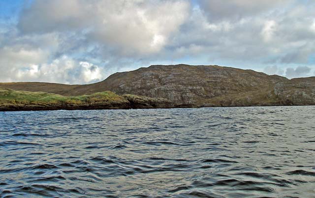
Gleann Dail bho Dheas Images

Images are sourced within 2km of 57.114455/-7.3030249 or Grid Reference NF7915. Thanks to Geograph Open Source API. All images are credited.

Southern shore of South Uist White sandy beach and gneiss outcrops on the Sound of Eriskay.
Southern shore of South Uist
White sandy beach and gneiss outcrops on the Sound of Eriskay.
Shieling ruin Ruin in moorland above Caolas Eirisgeigh
Shieling ruin
Ruin in moorland above Caolas Eirisgeigh
Path, south coast of South Uist A faint path speeds progress along the coast.
Path, south coast of South Uist
A faint path speeds progress along the coast.
Blackface lambs Moorland grazing on the south coast of South Uist.
Blackface lambs
Moorland grazing on the south coast of South Uist.
Fishbox Washed up on the shores of the Sound of Eriskay, a Royal Greenland fishbox, property of the government of Kalaallit Nunaat.  There were quite a few here from several places.
Fishbox
Washed up on the shores of the Sound of Eriskay, a Royal Greenland fishbox, property of the government of Kalaallit Nunaat. There were quite a few here from several places.
Moorland to the west of the path from South to North Glendale Boggy moorland punctuated with the line of an old fence to the right. On the map it is marked as Gàradh Ur "garden wall".
Moorland to the west of the path from South to North Glendale
Boggy moorland punctuated with the line of an old fence to the right. On the map it is marked as Gàradh Ur "garden wall".
Lochan above South Glendale Lochan near the top of the path between North and South Glendale
Lochan above South Glendale
Lochan near the top of the path between North and South Glendale
Causeway between Eriskay and South Uist View from South Uist.
Causeway between Eriskay and South Uist
View from South Uist.
Lochan below summit of Cruachan This is the more northerly of the pair marked on the map.
Lochan below summit of Cruachan
This is the more northerly of the pair marked on the map.
Summit of Cruachan Top of the hill anyway.  Too windy to really appreciate the view.
Summit of Cruachan
Top of the hill anyway. Too windy to really appreciate the view.
Moorland slopes of Cruachan Looking towards Gleann dail bho Tuath over where we walked earlier in the day.  The vicious showers making sure not only feet were wet after squelching through a lot of boggy ground.
Moorland slopes of Cruachan
Looking towards Gleann dail bho Tuath over where we walked earlier in the day. The vicious showers making sure not only feet were wet after squelching through a lot of boggy ground.
On Cruachan This is the view north, to Beinn Ruigh Choinnich and Triuirebheinn.
On Cruachan
This is the view north, to Beinn Ruigh Choinnich and Triuirebheinn.
Looking north from Cruachan For its relatively modest height, Cruachan offers extensive views. In this direction the view stretches across Gleann Dail bho Tuath, with the white houses of Lochboisdale just visible in the distance.
Looking north from Cruachan
For its relatively modest height, Cruachan offers extensive views. In this direction the view stretches across Gleann Dail bho Tuath, with the white houses of Lochboisdale just visible in the distance.
Cruachan In addition to the two lochans shown on the map, there are numerous small pools near the top of Cruachan.
Cruachan
In addition to the two lochans shown on the map, there are numerous small pools near the top of Cruachan.
The Sound of Eriskay from Cruachan Small beach with ruined house, the sound of Eriskay and the Eriskay causeway with Barra in the distance.
The Sound of Eriskay from Cruachan
Small beach with ruined house, the sound of Eriskay and the Eriskay causeway with Barra in the distance.
Peat diggings by Bàgh Mòr The south coast of South Uist.
Peat diggings by Bàgh Mòr
The south coast of South Uist.
The Eriskay Causeway
The old ferry slip at Eriskay This was where the ferry to South Uist left from in the days before the causeway link.  The causeway was completed in 2001.
The old ferry slip at Eriskay
This was where the ferry to South Uist left from in the days before the causeway link. The causeway was completed in 2001.
Show me another place!

Gleann Dail bho Dheas is located at Grid Ref: NF7915 (Lat: 57.114455, Lng: -7.3030249)

Unitary Authority: Na h-Eileanan an Iar

Police Authority: Highlands and Islands

Also known as: South Glendale

What 3 Words

///rhino.glare.episodes. Near Lochboisdale, Na h-Eileanan Siar

Related Wikis

Easaval

Easaval (Scottish Gaelic: Easabhal) is one of the smallest hills on the island of South Uist in the Outer Hebrides of Scotland, with a height of 243 metres...

St Michael's Church, Eriskay

St Michael's Church (also known as St Michael's of the Sea) is a Category C listed building in Eriskay, South Uist, Scotland. Of Roman Catholic denomination...

SS Politician

SS Politician was a cargo ship that ran aground off the coast of the Hebridean island of Eriskay in 1941. Her cargo included 22,000 cases of scotch whisky...

Calvay

Calvay (Scottish Gaelic: Calbhaigh) is a currently uninhabited island situated in the Sound of Eriskay in the Outer Hebrides, at grid reference NF810126...

Nearby Amenities

Located within 500m of 57.114455,-7.3030249
Turning Circle
Lat/Long: 57.115734/-7.3036058
Passing Place
Lat/Long: 57.1149275/-7.3032337
Bus Stop
South Glendale
Naptan AtcoCode: 6010731821
Naptan Bearing: S
Naptan CommonName: South Glendale
Naptan Indicator: South Glendale
Naptan Landmark: South Glendale
Naptan NaptanCode: 94723282
Naptan Street: South Glendale
Naptan Verified: no
Source: naptan_import
Lat/Long: 57.1139427/-7.302481
Gleann Dail bho Dheas
Alt Name Gd: Ceann a Deas Ghlinn Dail;Taobh a Deas Ghleann Dail
Name En: South Glen Dale
Name Gd: Gleann Dail bho Dheas
Place: hamlet
Lat/Long: 57.1145288/-7.3026466
Barrier: cattle_grid
Lat/Long: 57.1130024/-7.3023304
Turning Circle
Lat/Long: 57.1173804/-7.304331
Passing Place
Lat/Long: 57.1134002/-7.3026546
Barrier: cattle_grid
Lat/Long: 57.111057/-7.3022885
Power: pole
Lat/Long: 57.1158101/-7.3030875
Power: pole
Lat/Long: 57.1147415/-7.3022962
Power: pole
Lat/Long: 57.1152294/-7.3026637
Power: pole
Lat/Long: 57.1140177/-7.3018805
Power: pole
Lat/Long: 57.1132182/-7.3013762
Generator Method: wind_turbine
Generator Source: wind
Generator Type: horizontal_axis
Power: generator
Lat/Long: 57.1137643/-7.3008961
Power: pole
Lat/Long: 57.1128031/-7.3018536
Power: pole
Lat/Long: 57.1123749/-7.3023418
Power: pole
Lat/Long: 57.112078/-7.3030104
Power: pole
Lat/Long: 57.11163/-7.3039225
Power: pole
Lat/Long: 57.1112928/-7.3046517
Power: pole
Lat/Long: 57.1108835/-7.3054993
Power: pole
Lat/Long: 57.1104407/-7.3064354
The data included in this document is from www.openstreetmap.org. The data is made available under ODbL.

Have you been to Gleann Dail bho Dheas?

Leave your review of Gleann Dail bho Dheas below (or comments, questions and feedback).