Glazebrook

Settlement in Lancashire

England

Glazebrook

The Black Swan
The Black Swan Credit: Mick Garratt

The requested URL returned error: 429 Too Many Requests

If you have any feedback on the listing, please let us know in the comments section below.
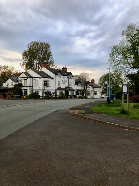
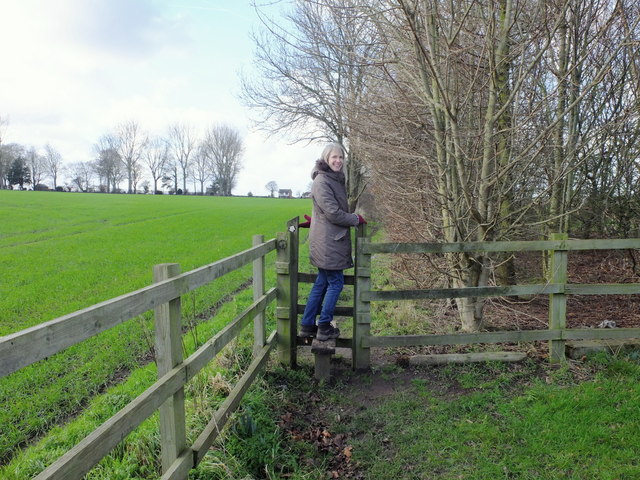
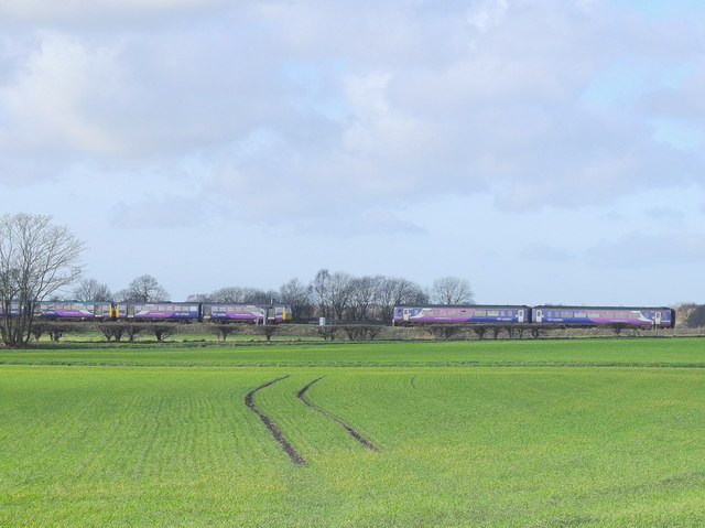
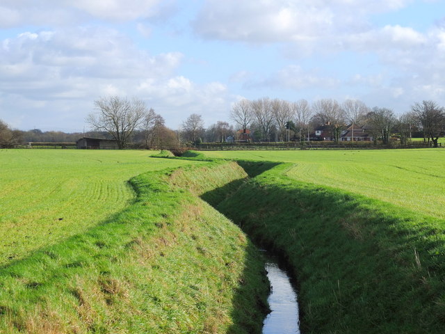
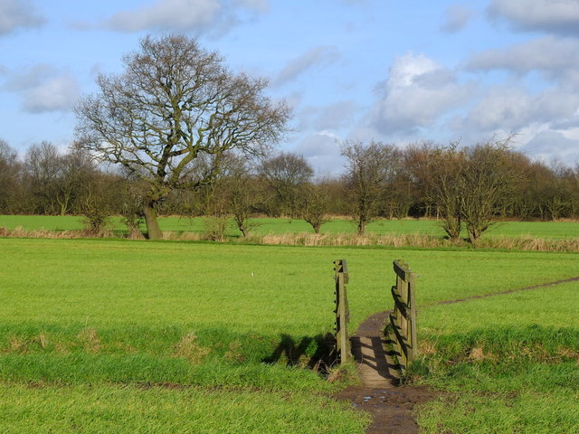
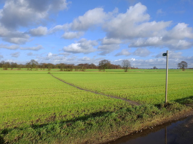
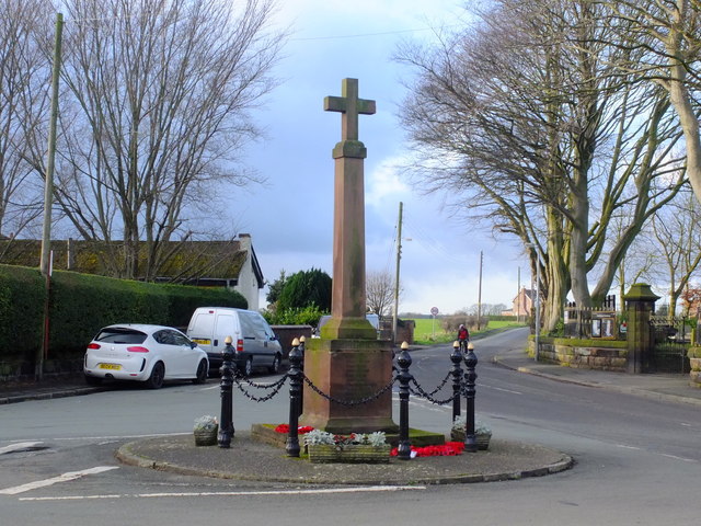
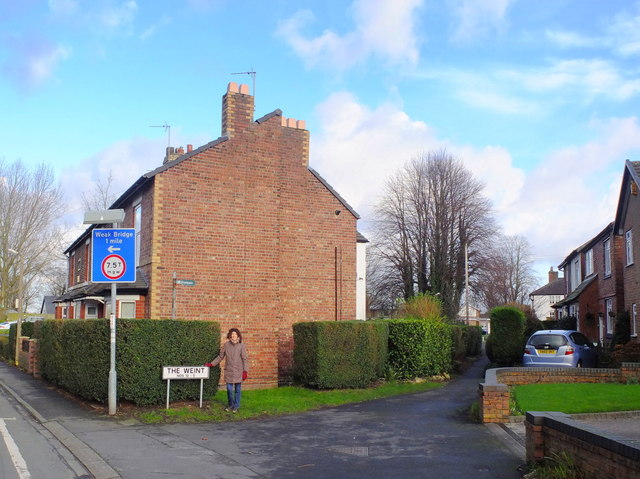
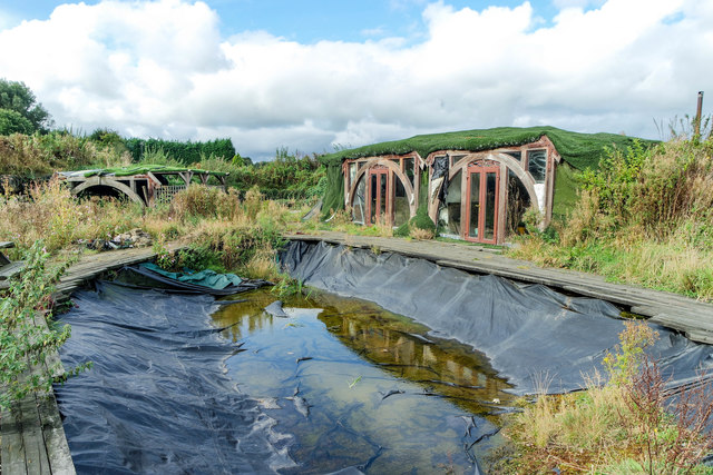
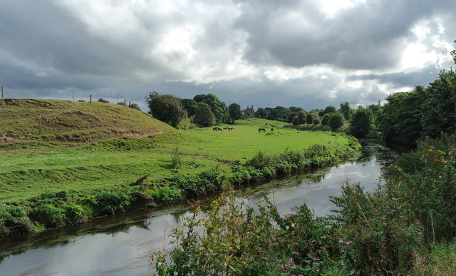
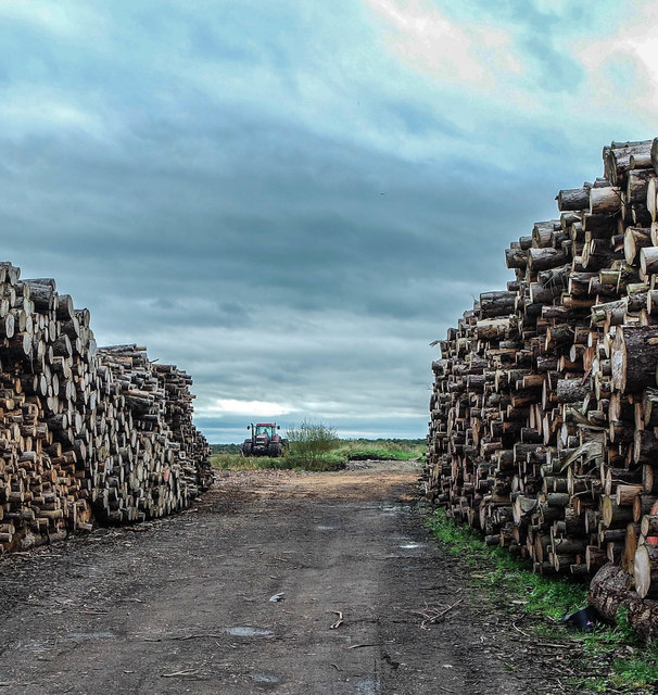
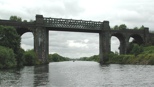
Glazebrook Images

Images are sourced within 2km of 53.429832/-2.459764 or Grid Reference SJ6992. Thanks to Geograph Open Source API. All images are credited.

The Black Swan
The Black Swan
Stile near Mount Pleasant Farm
Footpath west of Mount Pleasant Farm, Hollins Green
Trains near Glazebrook
Field drains near Holingreave Farm
Footpath near Hollingreave Farm
Cross at Hollins Green
The Weint, Hollins Green
Abandoned Summer House, Glazebrook At some point someone has built a summer house with a pond, covered in astro-turf and hidden in the corner of the allotments on Holcroft Lane. It's long-since been used; the pond has emptied, the decking is rotten and rusty crates of beer litter the area.
Abandoned Summer House, Glazebrook
At some point someone has built a summer house with a pond, covered in astro-turf and hidden in the corner of the allotments on Holcroft Lane. It's long-since been used; the pond has emptied, the decking is rotten and rusty crates of beer litter the area.
Rusty Beer Bottles, Glazebrook At some point someone has built a summer house with a pond, covered in astro-turf and hidden in the corner of the allotments on Holcroft Lane. It's long-since been used; the pond has emptied, the decking is rotten and rusty crates of beer litter the area.
Rusty Beer Bottles, Glazebrook
At some point someone has built a summer house with a pond, covered in astro-turf and hidden in the corner of the allotments on Holcroft Lane. It's long-since been used; the pond has emptied, the decking is rotten and rusty crates of beer litter the area.
Abandoned Beer, Glazebrook Allotments At some point someone has built a summer house with a pond, covered in astro-turf and hidden in the corner of the allotments on Holcroft Lane. It's long-since been used; the pond has emptied, the decking is rotten and rusty crates of beer litter the area. The bottles have not been opened.
Abandoned Beer, Glazebrook Allotments
At some point someone has built a summer house with a pond, covered in astro-turf and hidden in the corner of the allotments on Holcroft Lane. It's long-since been used; the pond has emptied, the decking is rotten and rusty crates of beer litter the area. The bottles have not been opened.
Glaze Brook looking toward Great Woolden Hall Glaze Brook looking toward Great Woolden Hall. Shot from the allotments.
Glaze Brook looking toward Great Woolden Hall
Glaze Brook looking toward Great Woolden Hall. Shot from the allotments.
Dilapidated Tractor, Little Woolden Hall Farm, Glazebrook Dilapidated Tractor, Little Woolden Hall Farm, Glazebrook.
Dilapidated Tractor, Little Woolden Hall Farm, Glazebrook
Dilapidated Tractor, Little Woolden Hall Farm, Glazebrook.
Corrugated panels, Little Woolden Hall Farm, Glazebrook Corrugated panels, Little Woolden Hall Farm, Glazebrook. Spiders webs suggest little recent use but these panels make, in the meantime, an attractive abstract image.
Corrugated panels, Little Woolden Hall Farm, Glazebrook
Corrugated panels, Little Woolden Hall Farm, Glazebrook. Spiders webs suggest little recent use but these panels make, in the meantime, an attractive abstract image.
Log Stacks, Little Woolden Hall Farm Log Stacks, Little Woolden Hall Farm near Galzebrook, Warrington.
Log Stacks, Little Woolden Hall Farm
Log Stacks, Little Woolden Hall Farm near Galzebrook, Warrington.
St Helen's Church St Helen's Church and Church Hall in Hollinfare.
St Helen's Church
St Helen's Church and Church Hall in Hollinfare.
Show me another place!

Glazebrook is located at Grid Ref: SJ6992 (Lat: 53.429832, Lng: -2.459764)

Unitary Authority: Warrington

Police Authority: Cheshire

What 3 Words

///prawn.tycoons.precluded. Near Partington, Manchester

Nearby Locations

Glazebrook

Related Wikis

Glazebrook railway station

Glazebrook railway station serves the villages in the civil parish of Rixton-with-Glazebrook in the Warrington unitary authority in the ceremonial county...

Rixton-with-Glazebrook

Rixton-with-Glazebrook is a civil parish in the Borough of Warrington, Cheshire, England. Formerly within the historic county of Lancashire, it lies to...

Cadishead railway station

Cadishead railway station was a railway station on the Cheshire Lines Committees Glazebrook East Junction to Skelton Junction Line serving the village...

Cadishead

Cadishead is a village in the City of Salford in Greater Manchester, England, with a population of 10,739 in 2014. Within the historic county of Lancashire...

Nearby Amenities

Located within 500m of 53.429832,-2.459764
Bus Stop
Lords Street/Fir Street
Bus: yes
Naptan AtcoCode: 1800NF27081
Naptan Bearing: SE
Naptan CommonName: Lords Street/Fir Street
Naptan Indicator: Bus Turning Circle
Naptan Landmark: Turning Circle
Naptan NaptanCode: mangjtam
Naptan Notes: INDICATOR AMENDED
Naptan PlusbusZoneRef: MNCRPIC
Naptan ShortCommonName: Fir Street
Naptan Street: LORDS STREET
Naptan Verified: no
Network: TfGM
Public Transport: platform
Source: naptan_import
Lat/Long: 53.4287741/-2.45261
Place Of Worship
Glazebrook Methodist Church
Denomination: methodist
Node Id: 1161268652
Religion: christian
Source Name: OS Open Local Important Buildings Layer
Lat/Long: 53.4298199/-2.4623954
Railway: switch
Lat/Long: 53.4293844/-2.4552252
Railway: switch
Lat/Long: 53.4295291/-2.4547412
Barrier: stile
Material: metal
Stile: stepover
Lat/Long: 53.4299028/-2.4541088
Glazebrook West Junction
Railway: junction
Lat/Long: 53.4271634/-2.464892
Glazebrook
Addr City: Warrington
Addr Country: GB
Addr Postcode: WA3 5BA
Addr Street: Glazebrook Lane
Addr Suburb: Glazebrook
Naptan AtcoCode: 9100GLAZBRK
Network: National Rail
Network Website: https://www.nationalrail.co.uk/stations/glz/
Network Wikidata: Q26334
Operator: Northern Rail
Operator Website: https://www.northernrailway.co.uk/stations/glazebrook
Operator Wikidata: Q85789775
Railway: station
Ref Crs: GLZ
Source: OS_OpenData_StreetView
Wikidata: Q1888823
Wikipedia: en:Glazebrook railway station
Lat/Long: 53.4282913/-2.4599923
Glazebrook East Junction
Railway: junction
Lat/Long: 53.4299849/-2.4525129
Addr Housenumber: 6
Addr Street: Station Cottages
Lat/Long: 53.4282554/-2.4592565
Addr Housenumber: 1
Addr Street: Station Cottages
Lat/Long: 53.4283673/-2.4588729
Barrier: cycle_barrier
Cycle Barrier: triple
Lat/Long: 53.4329278/-2.4572729
HMS Gosling Camp 5
Abandoned Military: base
End Date: 21-10-1947
Landuse: military
Military Service: navy
Start Date: July 1942
Lat/Long: 53.425941/-2.462799
Post Box
Operator: Royal Mail
Operator Wikidata: Q638098
Post Box Type: lamp
Ref: WA3 285
Royal Cypher: EIIR
Lat/Long: 53.4283546/-2.4586396
The data included in this document is from www.openstreetmap.org. The data is made available under ODbL.

Have you been to Glazebrook?

Leave your review of Glazebrook below (or comments, questions and feedback).