Loch Baile a' Ghobhainn

Lake, Pool, Pond, Freshwater Marsh in Argyllshire

Scotland

Loch Baile a' Ghobhainn

Eilean Dubh Island in Lynn of Lorn.
Eilean Dubh Credit: Hugh Venables

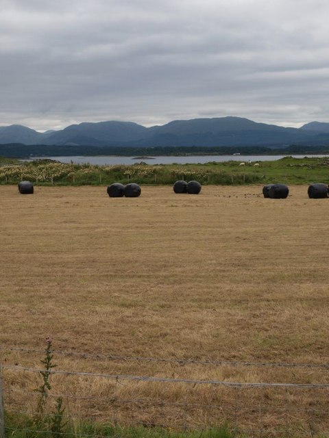
Loch Baile a' Ghobhainn, located in Argyllshire, Scotland, is a picturesque freshwater loch surrounded by stunning mountain scenery. The loch covers an area of approximately 50 acres and has a maximum depth of around 20 meters. It is fed by small streams and springs that flow down from the surrounding hills.

The shores of Loch Baile a' Ghobhainn are lined with lush vegetation, including reeds, grasses, and wildflowers, providing a habitat for a variety of bird species such as ducks, swans, and herons. The calm waters of the loch are also home to a diverse range of aquatic life, including fish, amphibians, and invertebrates.

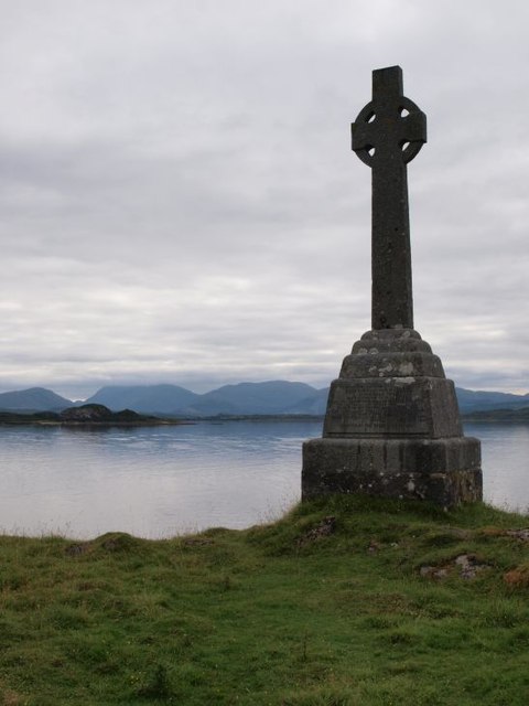
Visitors to Loch Baile a' Ghobhainn can enjoy a range of outdoor activities such as fishing, birdwatching, and hiking along the scenic trails that surround the loch. The tranquil setting of the loch makes it a popular spot for picnicking and nature watching.

Overall, Loch Baile a' Ghobhainn is a peaceful and idyllic destination for those seeking to immerse themselves in the natural beauty of the Scottish Highlands.

If you have any feedback on the listing, please let us know in the comments section below.

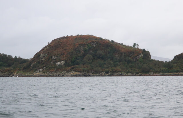
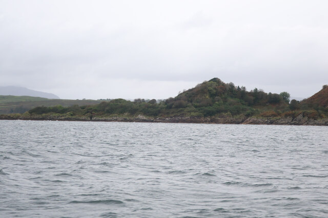
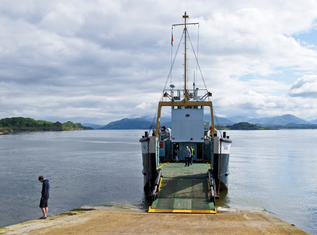
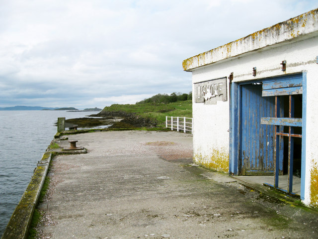
Loch Baile a' Ghobhainn Images

Images are sourced within 2km of 56.526914/-5.4813513 or Grid Reference NM8542. Thanks to Geograph Open Source API. All images are credited.

Eilean Dubh Island in Lynn of Lorn.
Eilean Dubh
Island in Lynn of Lorn.
South end of Eilean Dubh Island in Lynn of Lorn.
South end of Eilean Dubh
Island in Lynn of Lorn.
Tirefour Castle View towards the broch on Lismore from Eriska.
Tirefour Castle
View towards the broch on Lismore from Eriska.
Calmac ferry MV Eigg at Achnacroish The Calmac ferry Eigg at Achnacroish, Lismore after unloading vehicles and passengers from an Oban sailing. The Eigg was launched in 1974, and has provided a ferry service to the Isle of Lismore for many years.
Calmac ferry MV Eigg at Achnacroish
The Calmac ferry Eigg at Achnacroish, Lismore after unloading vehicles and passengers from an Oban sailing. The Eigg was launched in 1974, and has provided a ferry service to the Isle of Lismore for many years.
The Headcorn at Achnacroish harbour The Headcorn (Clovelly Class A 1766), a work/dive boat approaching the pier at Achnacroish, Lismore. Headcorn is 24.4 metres in length and was launched in 1972.
The Headcorn at Achnacroish harbour
The Headcorn (Clovelly Class A 1766), a work/dive boat approaching the pier at Achnacroish, Lismore. Headcorn is 24.4 metres in length and was launched in 1972.
Old steamer pier, Achnacroish The old pier, with its faded 'Lismore' sign, is no longer used; the car ferry from Oban uses the adjacent slipway. According to a plaque on the wall, it was built in 1880 by contractors A & K Macdonald and J Goodwin & Co, with John Strainge as engineer.
Old steamer pier, Achnacroish
The old pier, with its faded 'Lismore' sign, is no longer used; the car ferry from Oban uses the adjacent slipway. According to a plaque on the wall, it was built in 1880 by contractors A & K Macdonald and J Goodwin & Co, with John Strainge as engineer.
Achnacroish harbour, Lismore The slipway for the Oban ferry is at the left. The disused pier seen in other images (e.g. <a href="https://www.geograph.org.uk/photo/951880">NM8540 : Approaching Achnacroish pier</a>) is just off the right of the picture. In the distance one sees mountains on the mainland: Ben Starav, Beinn a'Bheitheir and summits between.
Achnacroish harbour, Lismore
The slipway for the Oban ferry is at the left. The disused pier seen in other images (e.g. NM8540 : Approaching Achnacroish pier) is just off the right of the picture. In the distance one sees mountains on the mainland: Ben Starav, Beinn a'Bheitheir and summits between.
Lismore scene near Castle Coeffin People walking to or from the dramatic Castle Coeffin use the path just to the left of the dry-stane dyke. The field in the foreground is boggy with lots of meadowsweet - like very many other spots at this time of year. The hills in the distance are on the mainland, on the far side of Loch Linnhe.
Lismore scene near Castle Coeffin
People walking to or from the dramatic Castle Coeffin use the path just to the left of the dry-stane dyke. The field in the foreground is boggy with lots of meadowsweet - like very many other spots at this time of year. The hills in the distance are on the mainland, on the far side of Loch Linnhe.
Lismore coastline near Castle Coeffin The photo is taken from Castle Coeffin itself, looking north-east along the coastline of Lismore with Ardgour beyond, across Loch Linnhe.
Lismore coastline near Castle Coeffin
The photo is taken from Castle Coeffin itself, looking north-east along the coastline of Lismore with Ardgour beyond, across Loch Linnhe.
Road to Balnagown The 'main' road, that runs the length of Lismore, runs left to right across the picture. To the left side we see the junction with the road that runs to Balnagown (and comes to an end there). The photo was taken from just in front of the cafe at the Lismore historical museum.
Road to Balnagown
The 'main' road, that runs the length of Lismore, runs left to right across the picture. To the left side we see the junction with the road that runs to Balnagown (and comes to an end there). The photo was taken from just in front of the cafe at the Lismore historical museum.
Approaching Tirefour broch The Iron Age broch of Tirefour is in an excellent state of repair. As seen here it stands clearly in view as one approaches along the ridge from the Achnacroish direction.
Approaching Tirefour broch
The Iron Age broch of Tirefour is in an excellent state of repair. As seen here it stands clearly in view as one approaches along the ridge from the Achnacroish direction.
Newly cut hayfield on Lismore The hills beyond are on the mainland.
Newly cut hayfield on Lismore
The hills beyond are on the mainland.
Monument to Waverley Arthur Cameron On the east coast of Lismore this monument commemorates the drowning of Waverley Arthur Cameron in a yachting accident off the shore here on 4 June 1891. It was erected by his father, Duncan Cameron, founder of the Oban Times. Waverley Cameron was editor of the Oban Times at the time of the accident.
Monument to Waverley Arthur Cameron
On the east coast of Lismore this monument commemorates the drowning of Waverley Arthur Cameron in a yachting accident off the shore here on 4 June 1891. It was erected by his father, Duncan Cameron, founder of the Oban Times. Waverley Cameron was editor of the Oban Times at the time of the accident.
Lismore east coast The picture looks along the line of low cliffs with Appin in the distance on the mainland. Such low cliffs are typical of the east coast of Lismore.
Lismore east coast
The picture looks along the line of low cliffs with Appin in the distance on the mainland. Such low cliffs are typical of the east coast of Lismore.
Lismore Heritage Centre Unfortunately closed for the winter, the centre was opened in 2007.  Further information is available here: <span class="nowrap"><a title="http://www.celm.org.uk/index.htm" rel="nofollow ugc noopener" href="http://www.celm.org.uk/index.htm">Link</a><img style="margin-left:2px;" alt="External link" title="External link - shift click to open in new window" src="https://s1.geograph.org.uk/img/external.png" width="10" height="10"/></span>
Lismore Heritage Centre
Unfortunately closed for the winter, the centre was opened in 2007. Further information is available here: LinkExternal link
Boggy Ground A patch of roadside marshland near Balliveolan.
Boggy Ground
A patch of roadside marshland near Balliveolan.
Tirefour broch, Lismore
Show me another place!

Loch Baile a' Ghobhainn is located at Grid Ref: NM8542 (Lat: 56.526914, Lng: -5.4813513)

Unitary Authority: Argyll and Bute

Police Authority: Argyll and West Dunbartonshire

What 3 Words

///composes.wage.pursue. Near Oban, Argyll & Bute

Nearby Locations

Loch Baile a' Ghobhainn

Related Wikis

Tirefour Castle

Tirefour Castle, (or Tirefour Broch, also spelled Tirfuir and Tirrefour) is an Iron Age broch located 4 kilometres north of Achnacroish on the island of...

St Moluag's Cathedral, Lismore

St Moluag's Cathedral is located on the Scottish island of Lismore just off the coast of Oban. As a congregation of the Church of Scotland, which is Presbyterian...

Castle Coeffin

Castle Coeffin is a ruin on the island of Lismore, an island in Loch Linnhe, in Argyll, on the west coast of Scotland. It stands on a promontory on the...
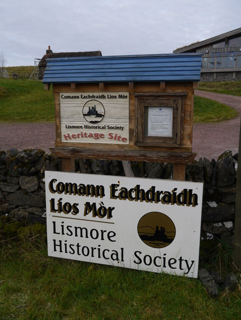
Lismore, Scotland

Lismore (Scottish Gaelic: Lios Mòr, pronounced [ʎis̪ ˈmoːɾ] possibly meaning "great enclosure" or "garden") is an island of some 2,351 hectares (9.1 square...

Nearby Amenities

Located within 500m of 56.526914,-5.4813513
Whin House
Place: isolated_dwelling
Lat/Long: 56.528019/-5.4865537
Power: pole
Lat/Long: 56.5270704/-5.4891059
Power: pole
Lat/Long: 56.527705/-5.4881403
Power: pole
Lat/Long: 56.5282006/-5.4876548
Power: pole
Lat/Long: 56.5286903/-5.4871827
Power: pole
Lat/Long: 56.5292509/-5.4866758
Power: pole
Lat/Long: 56.5297834/-5.4861662
Power: pole
Lat/Long: 56.5307716/-5.4851899
Power: pole
Lat/Long: 56.5302864/-5.4856692
Power: pole
Lat/Long: 56.526064/-5.4871761
Power: pole
Lat/Long: 56.5261937/-5.4876393
Power: pole
Lat/Long: 56.5265348/-5.4889112
Power: pole
Lat/Long: 56.5266787/-5.489412
Power: pole
Lat/Long: 56.5280992/-5.4870868
Power: pole
Lat/Long: 56.531145/-5.4836049
Man Made: mast
Tower Type: communication
Lat/Long: 56.53088/-5.4829817
Man Made: mast
Tower Type: communication
Lat/Long: 56.5308939/-5.483016
Barrier: cattle_grid
Lat/Long: 56.5256946/-5.48618
The data included in this document is from www.openstreetmap.org. The data is made available under ODbL.

Have you been to Loch Baile a' Ghobhainn?

Leave your review of Loch Baile a' Ghobhainn below (or comments, questions and feedback).