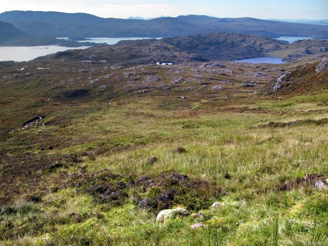
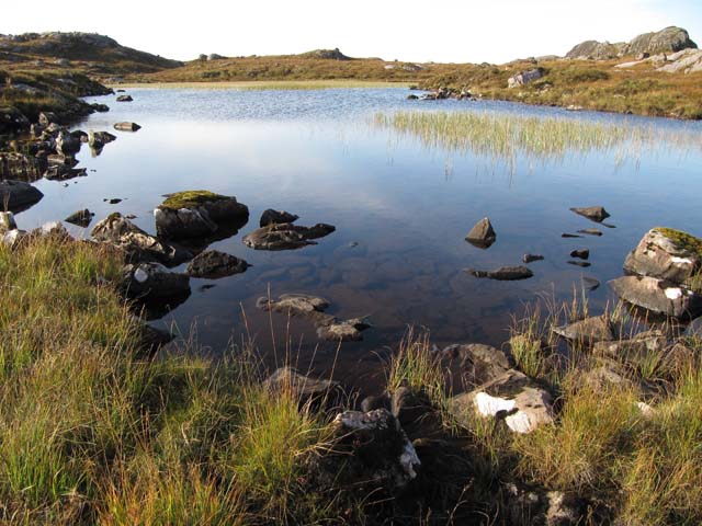
Loch a' Choire Bhig

Lake, Pool, Pond, Freshwater Marsh in Ross-shire

Scotland

Loch a' Choire Bhig

Waterfall on the Abhainn Alligin by the old shieling
Waterfall on the Abhainn Alligin by the old shieling Credit: David Brown

The requested URL returned error: 429 Too Many Requests

If you have any feedback on the listing, please let us know in the comments section below.

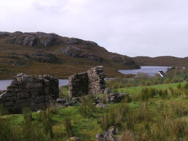
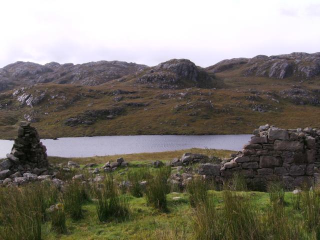
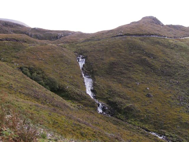
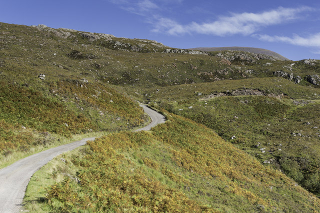
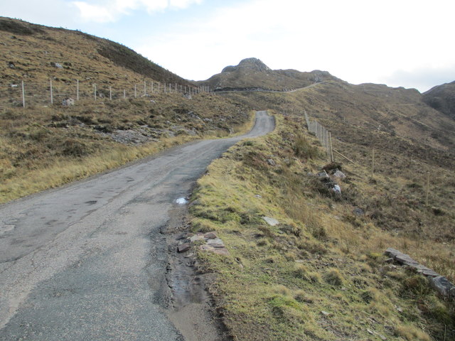
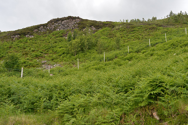
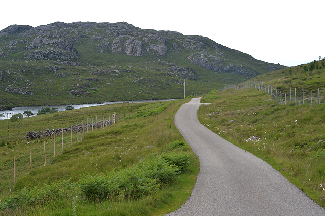
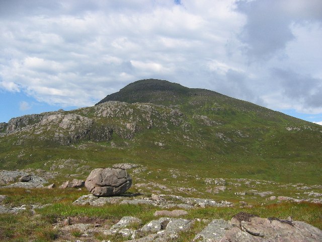
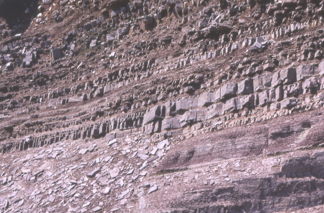
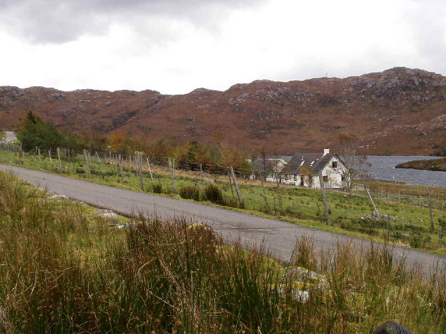
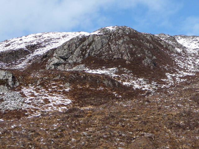
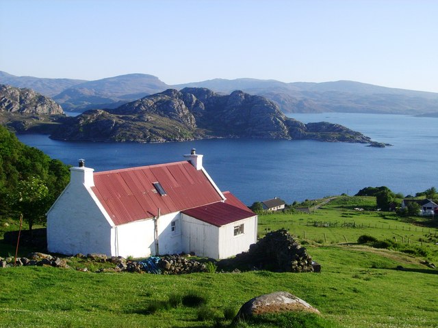
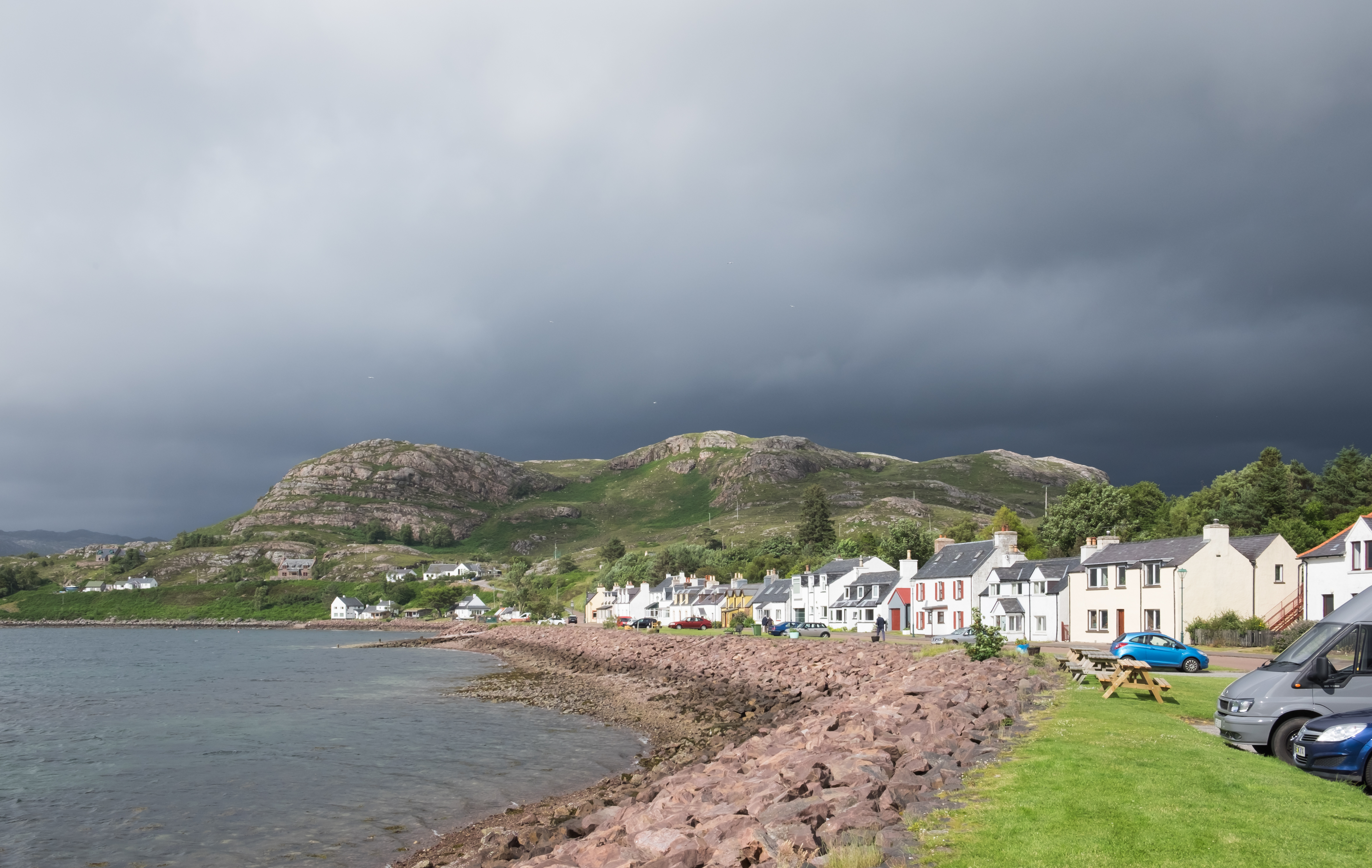
Loch a' Choire Bhig Images

Images are sourced within 2km of 57.570339/-5.6325097 or Grid Reference NG8259. Thanks to Geograph Open Source API. All images are credited.

Waterfall on the Abhainn Alligin by the old shieling
Road from Diabaig to Alligin
Stile and gate in forestry fence, Upper Diabaig
Upper Diabaig Taken from the Diabaig road. View past the ruined cottage in front to the narrow off-shot of Loch Diabaigas Airde where it joins Loch a' Mhullaich which is visible behind the more distant and more pristine cottage. The cnoc rising to the left is Meall Ceann na Creige.
Upper Diabaig
Taken from the Diabaig road. View past the ruined cottage in front to the narrow off-shot of Loch Diabaigas Airde where it joins Loch a' Mhullaich which is visible behind the more distant and more pristine cottage. The cnoc rising to the left is Meall Ceann na Creige.
Ruined Cottage in Upper Diabaig Taken from the Diabaig road. View past the ruins and over the narrow off-shot from Loch Diabaigas Airde to Creag an Fhraoich.
Ruined Cottage in Upper Diabaig
Taken from the Diabaig road. View past the ruins and over the narrow off-shot from Loch Diabaigas Airde to Creag an Fhraoich.
Water Rushing down to Loch Diabaigas Airde Taken from the Diabaig road near the passage over Allt Airigh Eachainn which forms the waterfall. On the right rises Sithean Mor.
Water Rushing down to Loch Diabaigas Airde
Taken from the Diabaig road near the passage over Allt Airigh Eachainn which forms the waterfall. On the right rises Sithean Mor.
Undulating ground with rock outcrops The hill country seen in the image lies to the north of Loch nan Tri-eileanan. In the distance Ben Shieldaig lies to the left, (beyond the unseen Upper Loch Torridon), with Applecross to the right.
Undulating ground with rock outcrops
The hill country seen in the image lies to the north of Loch nan Tri-eileanan. In the distance Ben Shieldaig lies to the left, (beyond the unseen Upper Loch Torridon), with Applecross to the right.
Western side of the Mad wee road to Diabaig
Moorland south of An Ruadh-mheallan, Torridon
Loch Airigh Eachainn, Torridon
Ruin at Upper Diabaig
Minor road to Diabaig
Regenerating woodland A fenced off area above the road allows natural regeneration of native woodland.
Regenerating woodland
A fenced off area above the road allows natural regeneration of native woodland.
The Diabaig road by Loch Diabaigas Airde With fenced-off areas allowing natural regeneration on both sides of the road.
The Diabaig road by Loch Diabaigas Airde
With fenced-off areas allowing natural regeneration on both sides of the road.
Stranded boulder. Boulder left behind by ice on the slopes of An Ruadh -mheallan  (background)
Stranded boulder.
Boulder left behind by ice on the slopes of An Ruadh -mheallan (background)
Torridonian Sandstone This exposure by the road shows strata of arkosic sandstone laid down around 1000 million years ago.
Torridonian Sandstone
This exposure by the road shows strata of arkosic sandstone laid down around 1000 million years ago.
Upper Diabaig Farmhouse by Loch Diabaigas Airde
Upper Diabaig
Farmhouse by Loch Diabaigas Airde
Crags above Loch Diabaigas Airde There are three stags just visible in the middle of the picture.
Crags above Loch Diabaigas Airde
There are three stags just visible in the middle of the picture.
Show me another place!

Loch a' Choire Bhig is located at Grid Ref: NG8259 (Lat: 57.570339, Lng: -5.6325097)

Unitary Authority: Highland

Police Authority: Highlands and Islands

What 3 Words

///gymnasium.slab.robot. Near Gairloch, Highland

Related Wikis

Inveralligin

Inveralligin (Scottish Gaelic: Inbhir Àiliginn) is a remote crofting township which lies on the north shore of Loch Torridon in Wester Ross and is in the...

Diabaig

Diabaig (Scottish Gaelic: Dìobaig) is a remote coastal fishing and crofting township in Wester Ross, in the Northwest Highlands of Scotland. Diabaig lies...

Beinn Alligin

Beinn Alligin (Scottish Gaelic: Beinn Àilleagan) is one of the classic mountains of the Torridon region of Scotland, lying to the north of Loch Torridon...

Shieldaig

Shieldaig (Scottish Gaelic: Sìldeag; Old Norse: síld-vík, lit. 'herring bay') is a village in Wester Ross in the Northwest Highlands, in the Scottish council...

Nearby Amenities

Located within 500m of 57.570339,-5.6325097
Source: survey
Tourism: viewpoint
Lat/Long: 57.5661108/-5.6346546
An Coire Beag
Place: locality
Lat/Long: 57.5725862/-5.6342076
Power: pole
Lat/Long: 57.5659276/-5.6325947
Power: pole
Lat/Long: 57.5663228/-5.6334649
Power: pole
Lat/Long: 57.5665141/-5.6339073
Power: pole
Lat/Long: 57.5668191/-5.6346005
Power: pole
Lat/Long: 57.5673573/-5.6357957
Power: pole
Lat/Long: 57.5676794/-5.6365136
Power: pole
Lat/Long: 57.5681196/-5.6375013
Power: pole
Lat/Long: 57.5684354/-5.638183
Power: pole
Lat/Long: 57.5687372/-5.6388719
Power: pole
Lat/Long: 57.5691098/-5.6396943
Power: pole
Lat/Long: 57.5695524/-5.6406835
The data included in this document is from www.openstreetmap.org. The data is made available under ODbL.

Have you been to Loch a' Choire Bhig?

Leave your review of Loch a' Choire Bhig below (or comments, questions and feedback).