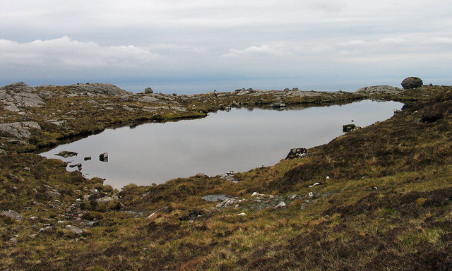
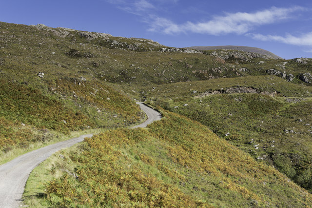
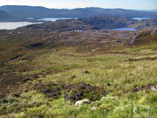
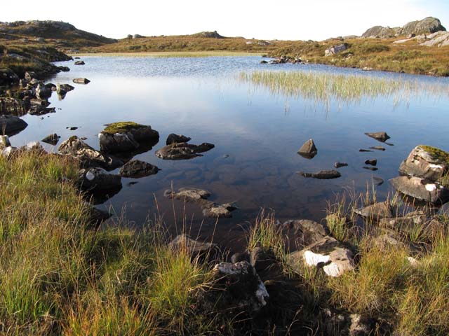
Loch an t-Sìthein
Lake, Pool, Pond, Freshwater Marsh in Ross-shire
Scotland
Loch an t-Sìthein
The requested URL returned error: 429 Too Many Requests
If you have any feedback on the listing, please let us know in the comments section below.
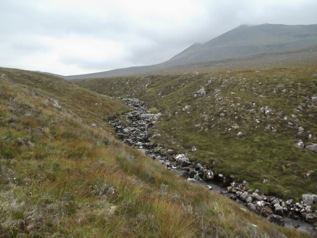
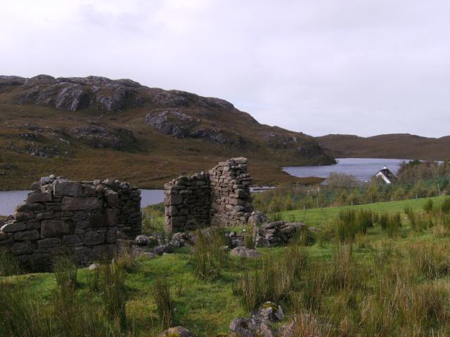
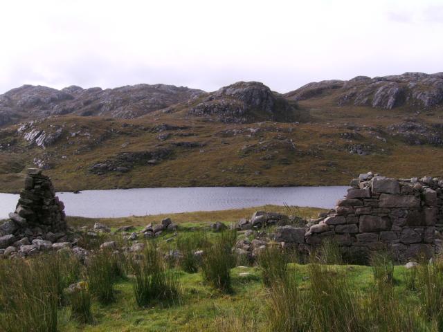
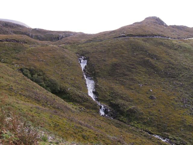
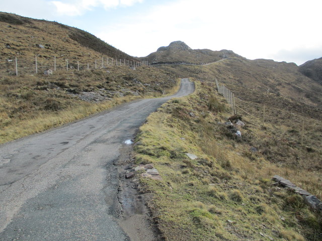
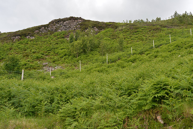
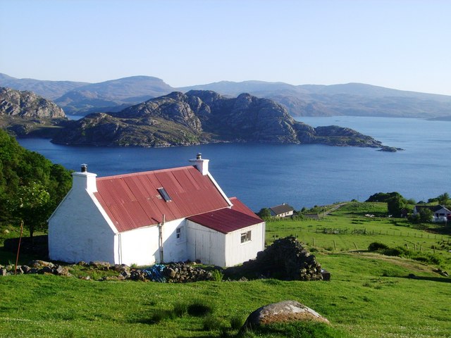
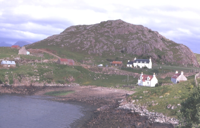
Loch an t-Sìthein Images
Images are sourced within 2km of 57.574255/-5.638891 or Grid Reference NG8259. Thanks to Geograph Open Source API. All images are credited.


Loch an t-Sìthein is located at Grid Ref: NG8259 (Lat: 57.574255, Lng: -5.638891)
Unitary Authority: Highland
Police Authority: Highlands and Islands
What 3 Words
///blame.arching.intensely. Near Gairloch, Highland
Nearby Locations
Related Wikis

Inveralligin
Inveralligin (Scottish Gaelic: Inbhir Àiliginn) is a remote crofting township which lies on the north shore of Loch Torridon in Wester Ross and is in the...
Diabaig
Diabaig (Scottish Gaelic: Dìobaig) is a remote coastal fishing and crofting township in Wester Ross, in the Northwest Highlands of Scotland. Diabaig lies...

Beinn Alligin
Beinn Alligin (Scottish Gaelic: Beinn Àilleagan) is one of the classic mountains of the Torridon region of Scotland, lying to the north of Loch Torridon...
Ardheslaig
Ardheslaig (Scottish Gaelic: Àird Heisleag) is a crofting settlement at the northern end of the Applecross peninsula in the Scottish Highlands. It is 3...
Nearby Amenities
Located within 500m of 57.574255,-5.638891Have you been to Loch an t-Sìthein?
Leave your review of Loch an t-Sìthein below (or comments, questions and feedback).