Aberllynfi
Settlement in Brecknockshire
Wales
Aberllynfi

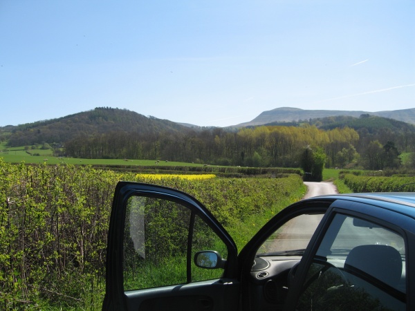
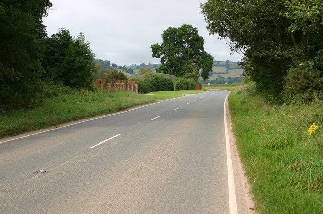
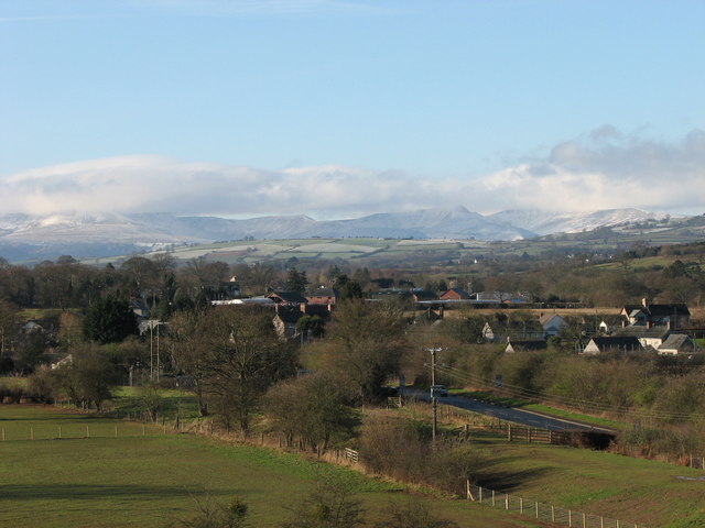
Aberllynfi is a small village located in the historic county of Brecknockshire, Wales. Situated in the picturesque countryside, Aberllynfi is surrounded by rolling hills, lush green fields, and meandering rivers. It lies about 5 miles southeast of the market town of Brecon, making it an ideal location for those seeking a peaceful rural retreat.
The village is known for its charming stone houses, which date back several centuries, adding to its rich historical character. The local community is close-knit and friendly, offering a warm welcome to visitors. Aberllynfi boasts a population of around 300 residents, making it a tranquil and idyllic place to live or visit.
Nature lovers will find themselves in paradise in Aberllynfi, as the village is surrounded by breathtaking natural beauty. The nearby Brecon Beacons National Park offers a multitude of outdoor activities, including hiking, mountain biking, and bird-watching. The River Llynfi, which flows through the village, is a popular spot for fishing enthusiasts, with its abundance of trout and salmon.
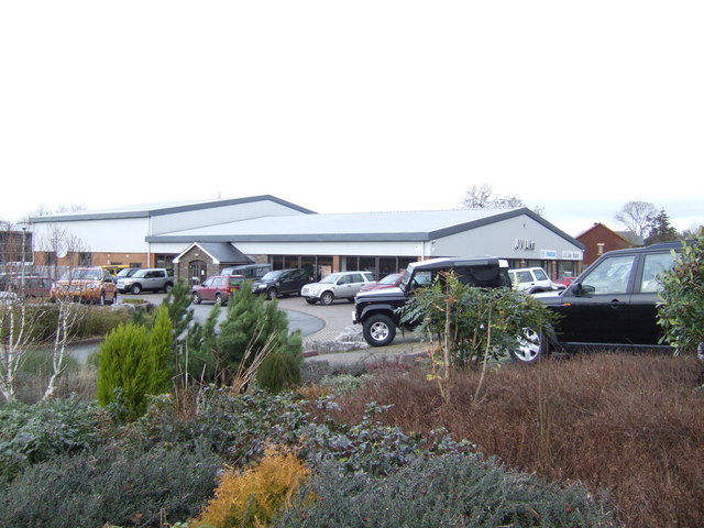
Despite its small size, Aberllynfi is not lacking in amenities. The village is home to a local pub, providing a cozy place to unwind and enjoy a traditional Welsh meal. Additionally, a village shop can be found nearby, catering to the daily needs of residents and visitors.
Overall, Aberllynfi is a hidden gem within Brecknockshire, offering a tranquil and scenic escape for those seeking a taste of rural Wales.
If you have any feedback on the listing, please let us know in the comments section below.
Aberllynfi Images
Images are sourced within 2km of 52.029782/-3.20616 or Grid Reference SO1737. Thanks to Geograph Open Source API. All images are credited.


Aberllynfi is located at Grid Ref: SO1737 (Lat: 52.029782, Lng: -3.20616)
Unitary Authority: Powys
Police Authority: Dyfed Powys
Also known as: Three Cocks
What 3 Words
///mouths.partner.inversely. Near Talgarth, Powys
Nearby Locations
Related Wikis
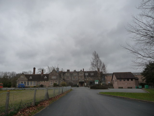
Gwernyfed High School
Gwernyfed High School is a high school in the village of Three Cocks, Brecon, Powys, Wales. The school is an English-medium school educating students between...

Afon Llynfi (Wye)
The Afon Llynfi is a short river in the county of Powys, south Wales. A tributary of the River Wye, it runs approximately south to north just to the west...
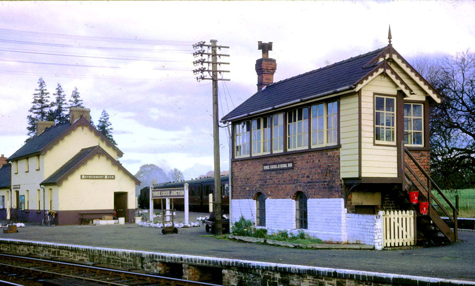
Three Cocks Junction railway station
Three Cocks Junction railway station (colloquially as Lucky Man Junction) was a station in Three Cocks, Powys, Wales. The station closed in 1962. The station...
Pipton
Pipton is a small settlement and former civil parish (or community) in Powys, Wales on the Afon Llynfi near its confluence with the River Wye. It was...
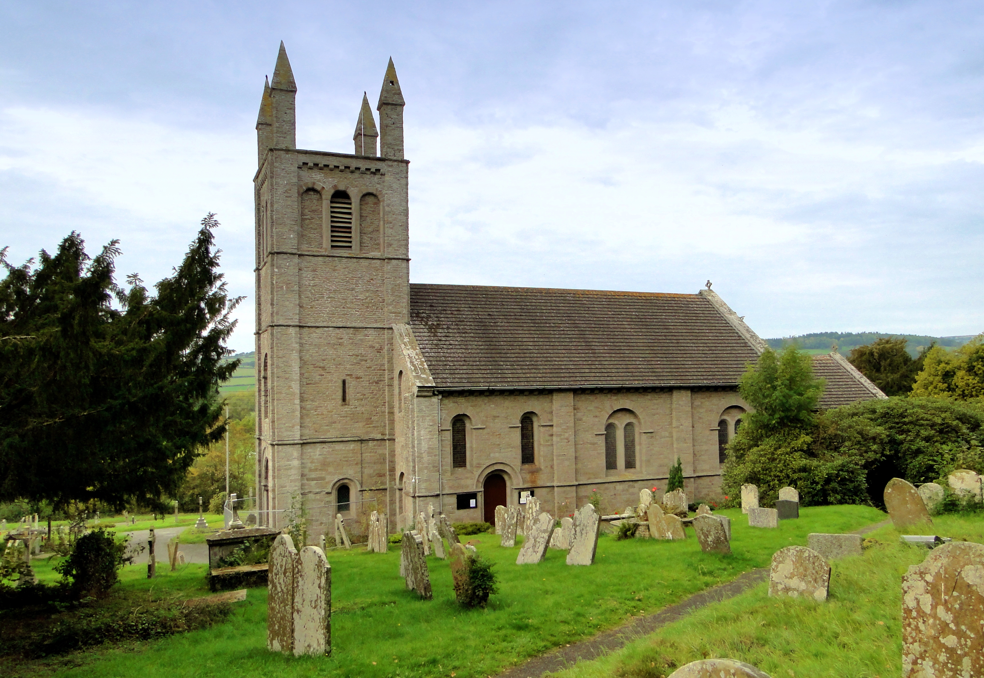
St Peter's Church, Glasbury
The Church of St Peter (and St Cynidr) is located outside the Welsh village of Glasbury and dates back to the sixth century. Near the confluence of the...
Three Cocks
Three Cocks or Aberllynfi (Welsh: [ˌabɛrˈɬənvi]) is a village near Glasbury in Powys, Wales. The Welsh name refers to the mouth of the Afon Llynfi which...

Glasbury-on-Wye railway station
Glasbury-on-Wye railway station was a station in Glasbury, Powys, Wales. The station closed in 1962. == References == == Further reading == Mitchell,...
Glasbury
Glasbury (Welsh: Y Clas-ar-Wy), also known as Glasbury-on-Wye, is a village and community in Powys, Wales. The village lies at an important crossing point...
Related Videos

Camping and Camping along the River Wye
Www.Aaalondongroup.com.
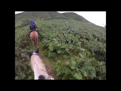
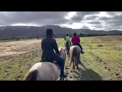
Tregoyd mountain riders March 2020 (auto generated)
An auto generated video by Apple photos of tregoyd mountain riding.
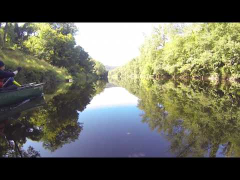
River Wye canoeing trip
Thanks for Watching more videos on my you tube channel https://www.youtube.com/channel/UC-d9roSw8QKVXSlRQZPyF4w.
Nearby Amenities
Located within 500m of 52.029782,-3.20616Have you been to Aberllynfi?
Leave your review of Aberllynfi below (or comments, questions and feedback).