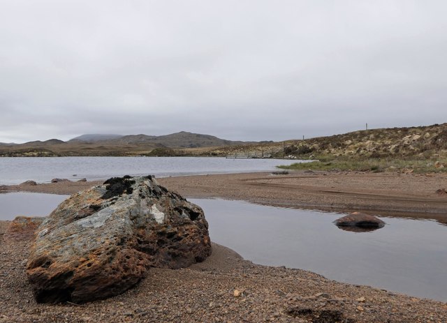
Loch Shaghachain
Lake, Pool, Pond, Freshwater Marsh in Ross-shire
Scotland
Loch Shaghachain

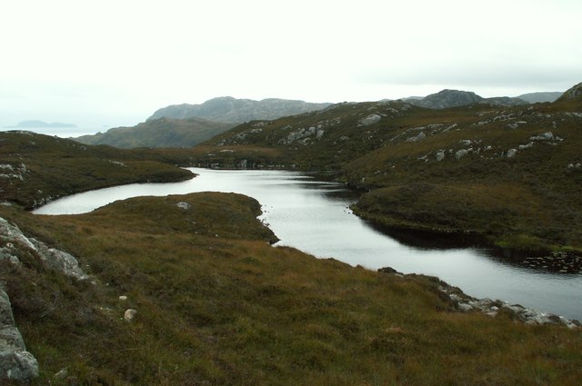
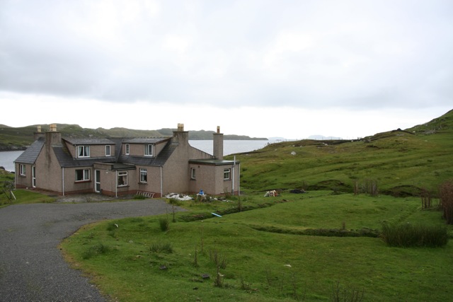
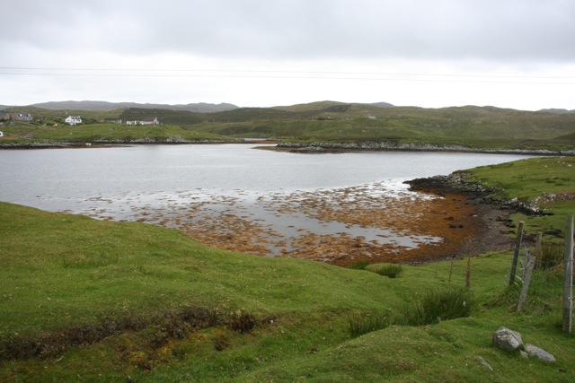
Loch Shaghachain is a freshwater loch located in Ross-shire, a county in the Highlands of Scotland. Situated amidst the stunning natural beauty of the Scottish countryside, it is a popular destination for nature enthusiasts and visitors seeking tranquility.
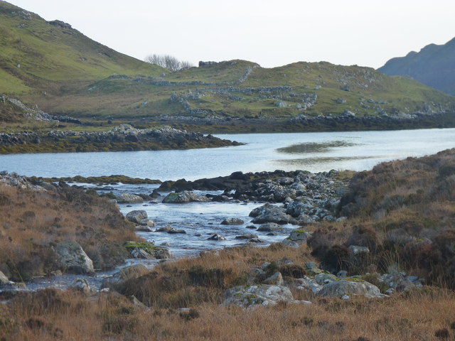
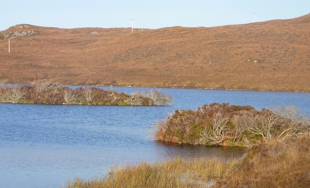
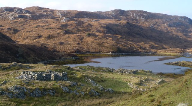
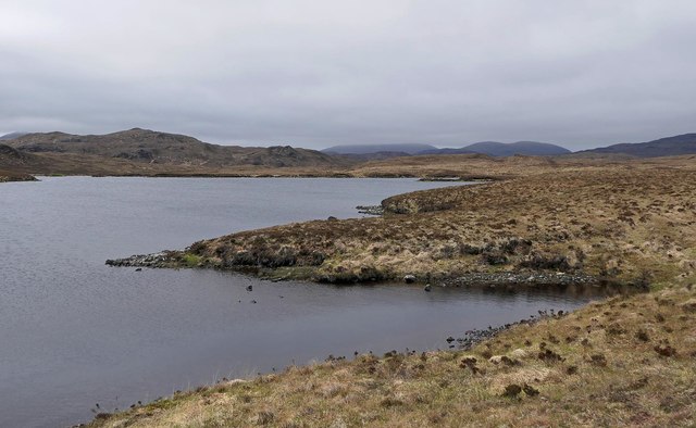
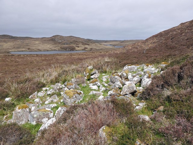
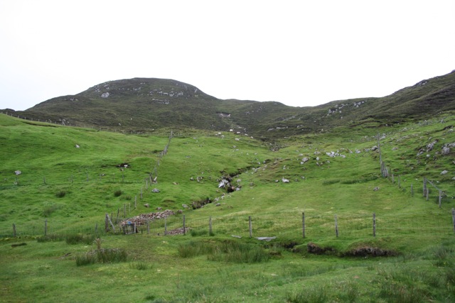
Covering an area of approximately 50 hectares, Loch Shaghachain boasts crystal-clear waters that are teeming with various species of freshwater fish, making it a haven for anglers. The loch is surrounded by lush greenery, including dense forests and rolling hills, providing a picturesque backdrop for those who enjoy hiking or simply taking in the breathtaking scenery.
The shores of Loch Shaghachain are home to an array of wildlife, including waterfowl, such as swans, ducks, and geese, which can often be seen gracefully gliding across the water's surface. The loch also supports a diverse range of plant life, including reeds and other aquatic vegetation, creating a vibrant ecosystem.
Visitors to Loch Shaghachain can explore the area by foot, with several walking trails offering panoramic views of the loch and its surroundings. The tranquil atmosphere and unspoiled nature of the area make it an ideal spot for birdwatching and photography enthusiasts.
Overall, Loch Shaghachain is a hidden gem in the Scottish Highlands, offering visitors a peaceful retreat amidst stunning natural beauty. Its diverse wildlife, clear waters, and serene environment make it a must-visit destination for anyone seeking an authentic Scottish experience.
If you have any feedback on the listing, please let us know in the comments section below.
Loch Shaghachain Images
Images are sourced within 2km of 58.019507/-6.4855718 or Grid Reference NB3512. Thanks to Geograph Open Source API. All images are credited.
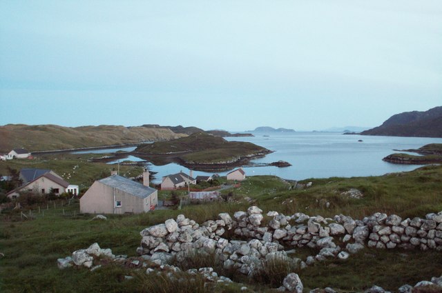
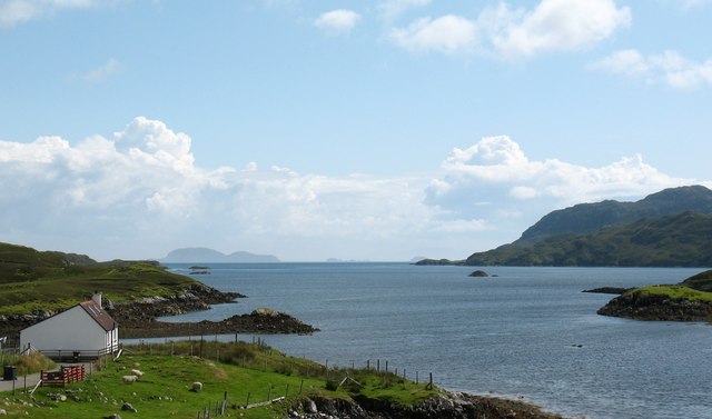
![Coastal view, Orasaigh One would assume that the name 'Orasaigh' refers to the small island [centre left], as well as the community. The island is accessible at low tide, like several Oronsay and Orasay islands around the west coast.](https://s1.geograph.org.uk/geophotos/01/47/41/1474105_b387cda5.jpg)
Loch Shaghachain is located at Grid Ref: NB3512 (Lat: 58.019507, Lng: -6.4855718)
Unitary Authority: Na h-Eileanan an Iar
Police Authority: Highlands and Islands
What 3 Words
///tube.language.sneezing. Near Leurbost, Na h-Eileanan Siar
Nearby Locations
Related Wikis

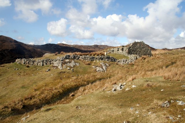
Stiomrabhaig
Stiomrabhaig is an abandoned crofter's village on the Isle of Lewis in the Outer Hebrides. == History == The United Kingdom Census 1851 shows that the...

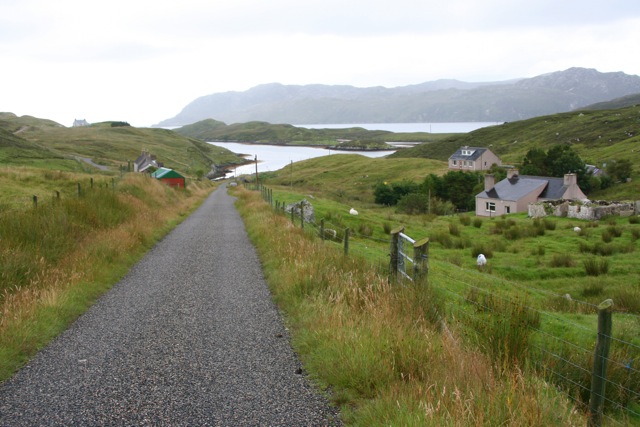
Orinsay
Orinsay (Scottish Gaelic: Orasaigh) is a crofting village on the Isle of Lewis in the district of Pairc, in the Outer Hebrides, Scotland. The settlement...

Eilean Liubhaird
Eilean Liubhaird or Eilean Iubhard is an island in the Outer Hebrides, to the east of Lewis. == Geography and geology == The rock is "gneiss bedrock with...

Gravir
Gravir (Scottish Gaelic: Grabhair), is a village on the shore of Loch Odhairn (a sea loch) in the Park district of the Isle of Lewis. Gravir is within...
Have you been to Loch Shaghachain?
Leave your review of Loch Shaghachain below (or comments, questions and feedback).