Ardnave Loch
Lake, Pool, Pond, Freshwater Marsh in Argyllshire
Scotland
Ardnave Loch
Ardnave Loch is a picturesque freshwater marsh located in Argyllshire, Scotland. Nestled amidst the rugged beauty of the region, this expansive body of water covers an area of approximately 6 hectares. Surrounded by rolling hills and verdant meadows, it serves as a haven for a diverse range of flora and fauna.
The loch's tranquil waters are fed by numerous small streams that meander through the surrounding landscape. Its shallow depth and calm currents create an ideal habitat for various aquatic plants, including water lilies, reeds, and cattails, which form dense patches along the lake's edges.
Ardnave Loch is also home to a rich assortment of wildlife. Bird enthusiasts flock to the area to catch a glimpse of the numerous waterfowl that inhabit the region. Species such as mallards, coots, and tufted ducks can often be seen gracefully gliding across the lake's surface. The marshy areas surrounding the loch provide a sanctuary for a variety of wading birds, including herons, snipes, and lapwings.
Nature lovers can explore the area via a network of walking trails that wind their way around the loch. These trails offer breathtaking views of the surrounding countryside, with opportunities to spot rare plant species and observe the diverse birdlife.
Ardnave Loch is not only a site of natural beauty but also holds historical significance. Nearby, visitors can explore the ruins of Ardnave Chapel, an ancient ecclesiastical site dating back to the 13th century. The loch's serene atmosphere and historical charm make it a popular destination for both locals and tourists seeking solace in nature's embrace.
If you have any feedback on the listing, please let us know in the comments section below.
Ardnave Loch Images
Images are sourced within 2km of 55.870899/-6.3432423 or Grid Reference NR2872. Thanks to Geograph Open Source API. All images are credited.

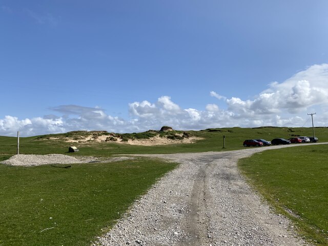
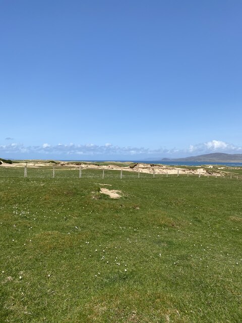
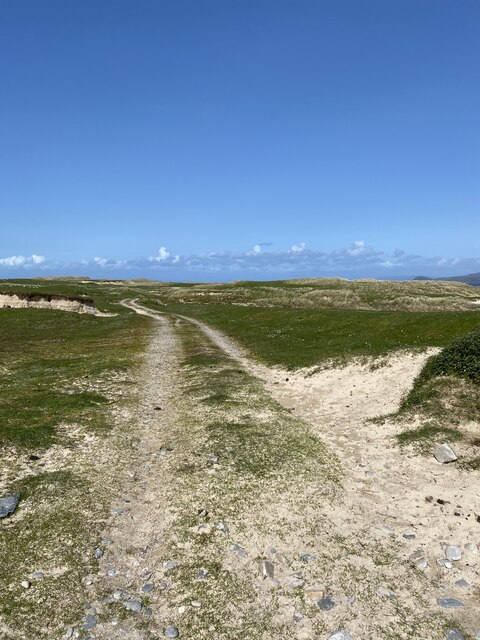
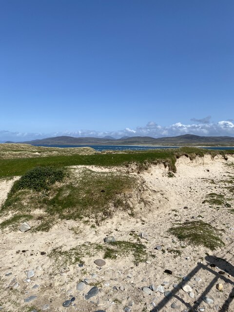
![Eilean Nòstaig lobster farm The windswept rolling headland of Ardnave Point is a mix of machair and sand dunes and populated by inquisitive sheep.
Along the Atlantic facing coast, a strange abandoned arrangement of concrete dam walls and rusty sluice gates, too small for a boat. I read that it is an abandoned lobster farm [Google Books. (2013). Walking on Jura, Islay and Colonsay].
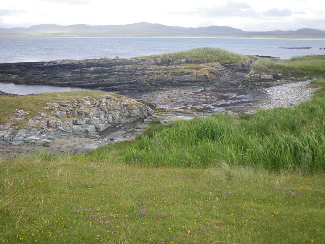
Further information has proved quite elusive. Canmore, the Scottish Heritage site lists "Two stone built fish traps on the shore" of unassigned age. These were definitely concrete.
A report written in 1973 notes "in recent years a concrete fishing tank has been constructed in the southwest corner of the [Ardnave peninsula], making use of a naturally advantageous position between the shore and the rocks on the lower beach. At the time of survey the tank was unused".
More questions than answers.
For references see my blog <span class="nowrap"><a title="http://www.fhithich.uk/?p=28109" rel="nofollow ugc noopener" href="http://www.fhithich.uk/?p=28109">Link</a><img style="margin-left:2px;" alt="External link" title="External link - shift click to open in new window" src="https://s1.geograph.org.uk/img/external.png" width="10" height="10"/></span>](https://s0.geograph.org.uk/geophotos/07/18/54/7185448_eadfeea9.jpg)


Ardnave Loch is located at Grid Ref: NR2872 (Lat: 55.870899, Lng: -6.3432423)
Unitary Authority: Argyll and Bute
Police Authority: Argyll and West Dunbartonshire
What 3 Words
///bend.motorist.give. Near Bridgend, Argyll & Bute
Nearby Locations
Related Wikis

Loch Gruinart
Loch Gruinart (Scottish Gaelic: Loch Gruinneard from the Old Norse, meaning "shallow fjord") is a sea loch on the northern coast of isle of Islay in Scotland...
Ardnave Point
Ardnave Point (Scottish Gaelic, Àird an Naoimh) is a coastal promontory on the northwest of Islay, a Scottish island. This landform has a rocky northern...

Nave Island
Nave Island lies to the north of Islay in the Inner Hebrides near the mouth of Loch Gruinart. It is uninhabited. == Geography == The island is all but...

Battle of Traigh Ghruinneart
The Battle of Traigh Ghruinneart or in Scottish Gaelic Blàr Tràigh Ghruineart or sometimes called the Battle of Gruinart Strand was a Scottish clan battle...

Gruinart Flats
The Gruinart Flats is a low-lying landform on the western part of the isle of Islay in Scotland. The locale is an important conservation area, having been...

Loch Gorm Castle
Loch Gorm Castle is a ruined castle located on Eilean Mòr (big island) on Loch Gorm, Islay, Scotland. It was once a stronghold of Clan Macdonald. The castle...
Nearby Amenities
Located within 500m of 55.870899,-6.3432423Have you been to Ardnave Loch?
Leave your review of Ardnave Loch below (or comments, questions and feedback).