Geseilfa

Settlement in Montgomeryshire

Wales

Geseilfa

Grazing in the Afon Trannon valley
Grazing in the Afon Trannon valley Credit: John M

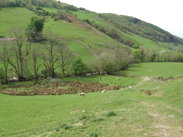
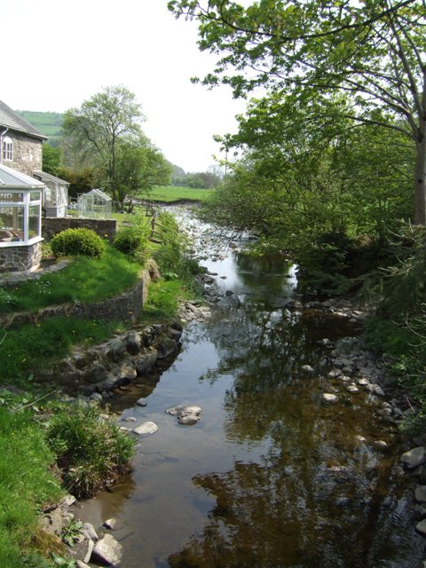
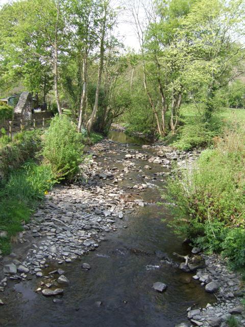
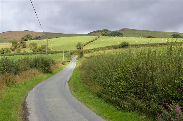
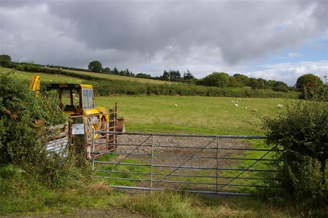
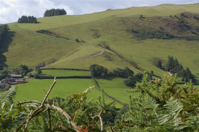
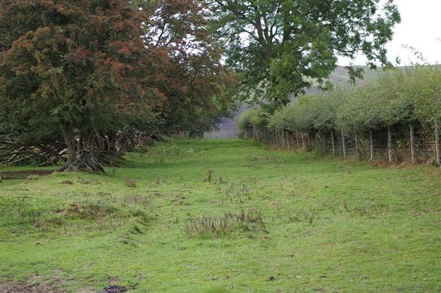
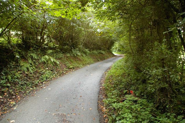
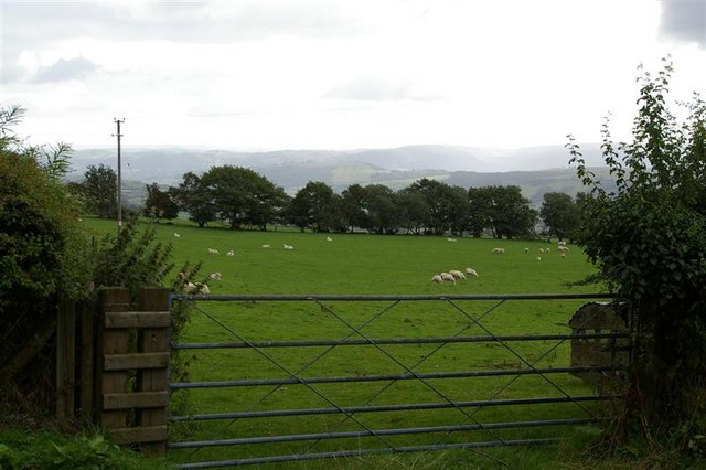
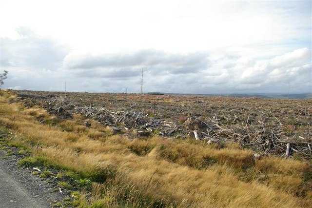
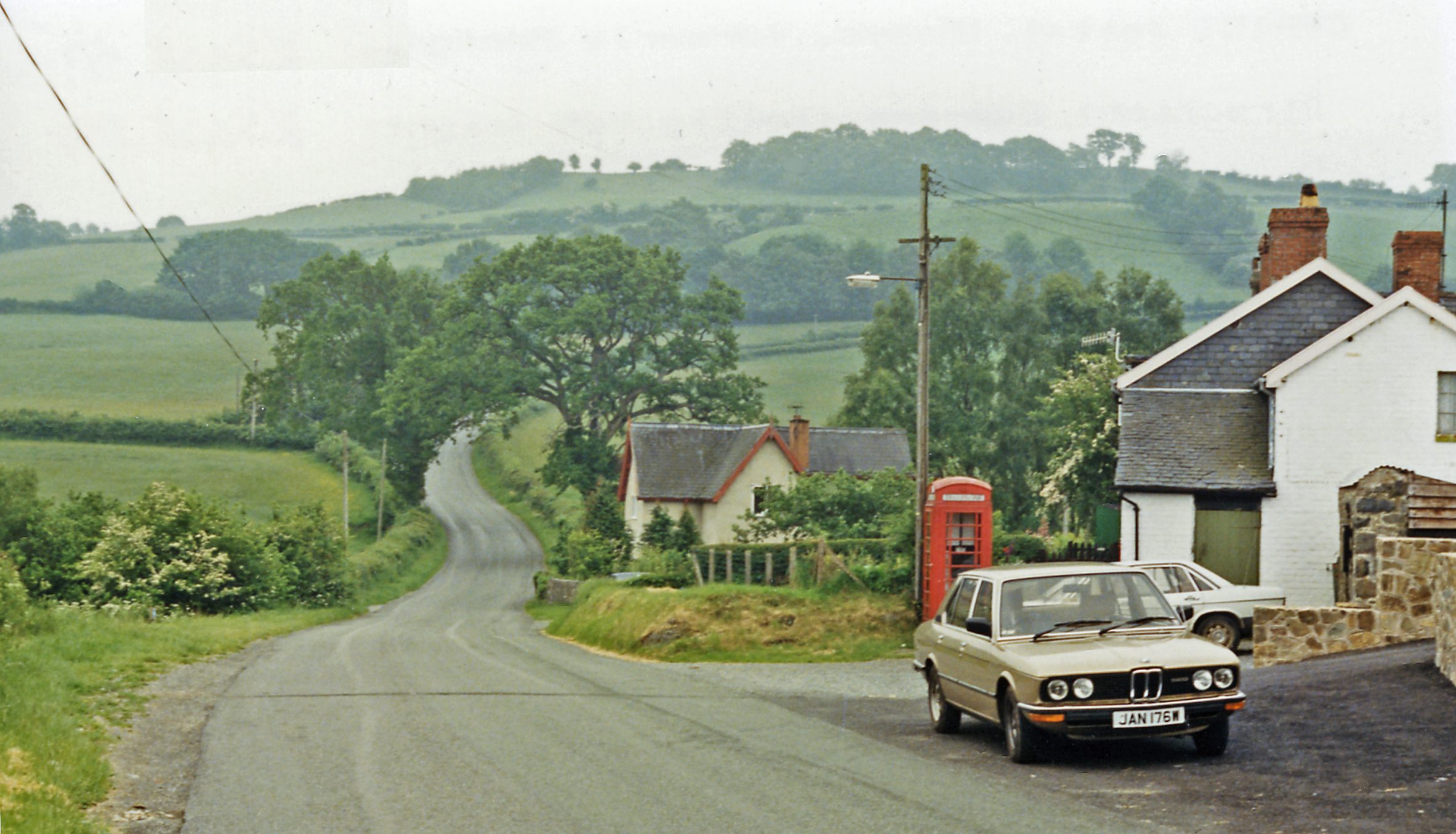
Geseilfa is a small village located in the county of Montgomeryshire, Wales. Situated in the picturesque countryside, it is nestled between the towns of Llanfair Caereinion and Welshpool. The village is known for its tranquil and scenic surroundings, with rolling hills and lush green fields dominating the landscape.

Geseilfa has a close-knit community with a population of around 200 residents. The village is primarily residential, consisting of traditional stone-built houses and cottages that give it a charming and timeless feel. The residents of Geseilfa take pride in their community and actively participate in local events and social gatherings.

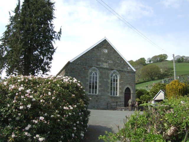
One of the prominent features of the village is its historic church, St. Mary's Church, which dates back to the 12th century. This beautiful place of worship attracts visitors and provides a peaceful setting for both locals and tourists to appreciate the village's rich history.

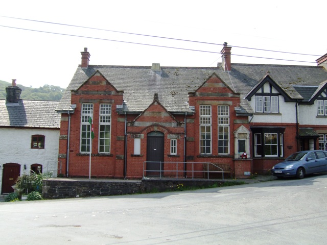
Despite its small size, Geseilfa offers amenities to its residents, including a village hall that serves as a hub for various community activities and events. The village also benefits from its proximity to nearby towns, which provide access to essential services such as schools, healthcare facilities, and shopping centers.

Geseilfa is an ideal location for those seeking a tranquil and idyllic setting away from the hustle and bustle of urban life. Its stunning countryside and friendly community make it an attractive place to live or visit for those looking to immerse themselves in the beauty of rural Wales.

If you have any feedback on the listing, please let us know in the comments section below.
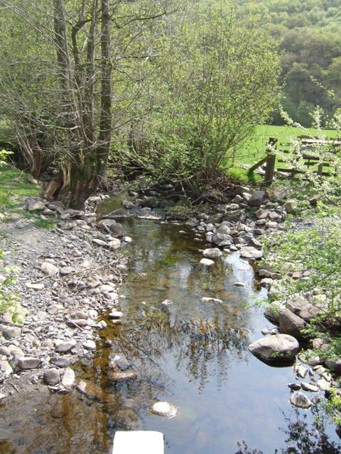
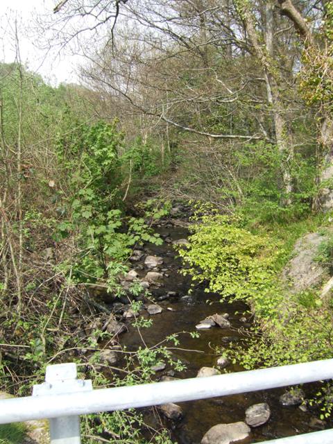
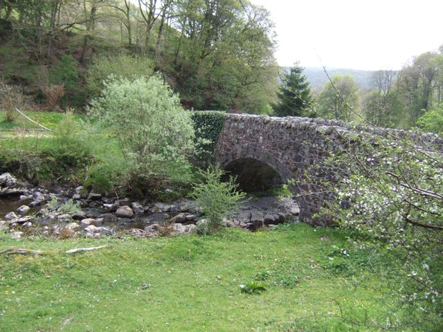
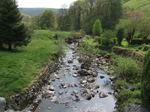
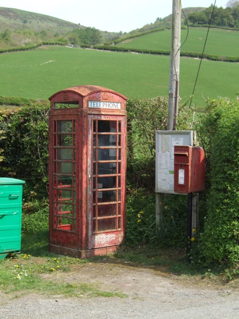
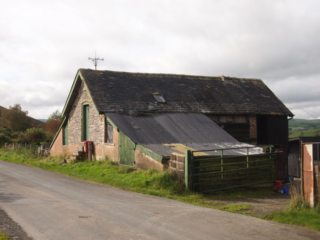
Geseilfa Images

Images are sourced within 2km of 52.506556/-3.5631746 or Grid Reference SN9491. Thanks to Geograph Open Source API. All images are credited.

Grazing in the Afon Trannon valley
Afon Trannon downstream at Llawr-y-glyn
Afon Trannon upstream at Llawr-y-glyn
School in Llawr-y-glyn Opened in 1909.
School in Llawr-y-glyn
Opened in 1909.
Afon Trannon downstream at Gwernafon
Afon Trannon upstream at Gwernafon
Pont Nant Ysgwiliwch Afon Trannon.
Pont Nant Ysgwiliwch
Afon Trannon.
View downstream at Pont Nant Ysgwiliwch Afon Trannon.
View downstream at Pont Nant Ysgwiliwch
Afon Trannon.
Telephone and Post Boxes A draughty example in the hills beside the Afon Trannon.
Telephone and Post Boxes
A draughty example in the hills beside the Afon Trannon.
Chapel in Llawr-y-glyn
Old Barn Near Bwlchyfan
Road around Waen High, fairly isolated table land W of Trefeglwys. Bryn Crugog (the right-most peak) lies in the next square west.
Road around Waen
High, fairly isolated table land W of Trefeglwys. Bryn Crugog (the right-most peak) lies in the next square west.
JCB ready for action! Rough hilly terrain needing all the mechanical help available! This is Waen, W of Trefeglwys
JCB ready for action!
Rough hilly terrain needing all the mechanical help available! This is Waen, W of Trefeglwys
Cilhaul and Fforest You need a track like this when you farm a mountain!
Cilhaul and Fforest
You need a track like this when you farm a mountain!
Old bridleway This old track looks like it was used centuries ago! Facing south, it runs down into the Trannon valley west of Trefeglwys
Old bridleway
This old track looks like it was used centuries ago! Facing south, it runs down into the Trannon valley west of Trefeglwys
Road with canopy! The small lanes around Waen often dip into little gulleys - quite steeply - and are completely covered by the growth of the hedgerows.
Road with canopy!
The small lanes around Waen often dip into little gulleys - quite steeply - and are completely covered by the growth of the hedgerows.
A gate into another field of sheep Entirely typical field of sheep on this high ground W of Trefeglwys.
A gate into another field of sheep
Entirely typical field of sheep on this high ground W of Trefeglwys.
Harvested forest Harvested woodland must be the bleakest scenery ever! It looks a complete mess, but the debris is an important habitat for wildlife. We often forget about trees as a cash-crop, but forestry is a massive industry. This has already been replanted and will look entirely different in 10 years' time. In twenty-five, or so, it will be back to this!
Harvested forest
Harvested woodland must be the bleakest scenery ever! It looks a complete mess, but the debris is an important habitat for wildlife. We often forget about trees as a cash-crop, but forestry is a massive industry. This has already been replanted and will look entirely different in 10 years' time. In twenty-five, or so, it will be back to this!
Show me another place!

Geseilfa is located at Grid Ref: SN9491 (Lat: 52.506556, Lng: -3.5631746)

Unitary Authority: Powys

Police Authority: Dyfed Powys

What 3 Words

///equipping.treaties.chief. Near Staylittle, Powys

Nearby Locations

Geseilfa

Related Wikis

Llawryglyn

Llawr y Glyn (or Llawryglyn) is a hamlet in Powys, Wales. It lies about 10 miles west of the town of Newtown, in the historic county of Montgomeryshire...

Trefeglwys

Trefeglwys is a village and community in Powys, Wales, within the historic county of Montgomeryshire. The name derives from the Welsh language tref 'township...

Cerist railway station

Cerist railway station served the town of Llanidloes, in the historical county of Montgomeryshire, Wales, from 1873 to 1940 on the Van Railway. == History... ==

Garth and Van Road railway station

Garth and Van Road railway station served the village of Garth, in the historical county of Montgomeryshire, Wales, from 1873 to 1940 on the Van Railway...

Nearby Amenities

Located within 500m of 52.506556,-3.5631746
Place: farm
Lat/Long: 52.5100328/-3.5589179
Building: yes
Lat/Long: 52.5092362/-3.562437
Give Way
Direction: backward
Lat/Long: 52.5080008/-3.5608303
The data included in this document is from www.openstreetmap.org. The data is made available under ODbL.

Have you been to Geseilfa?

Leave your review of Geseilfa below (or comments, questions and feedback).