Gerrard's Bromley

Settlement in Staffordshire Stafford

England

Gerrard's Bromley

Stile and footpath to Chatcull
Stile and footpath to Chatcull Credit: Mick Malpass

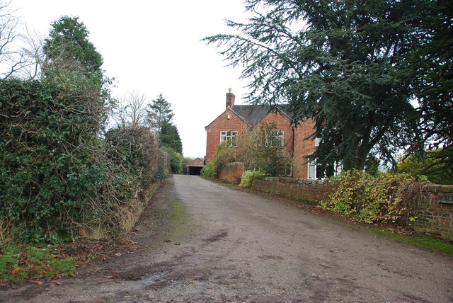
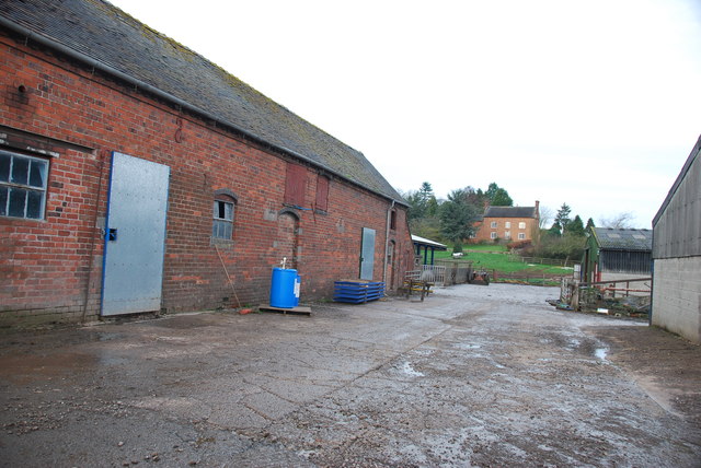
Gerrard's Bromley is a quaint village located in the county of Staffordshire, in the West Midlands region of England. Situated amidst the picturesque countryside, this serene hamlet offers a tranquil escape from the bustling city life.

With a population of around 500 residents, Gerrard's Bromley exudes a strong sense of community and charm. The village is known for its well-preserved historic buildings, showcasing traditional English architecture. The centerpiece of the village is the St. Mary's Church, a stunning medieval structure that dates back to the 12th century. Its impressive stained glass windows and intricate stone carvings never fail to captivate visitors.

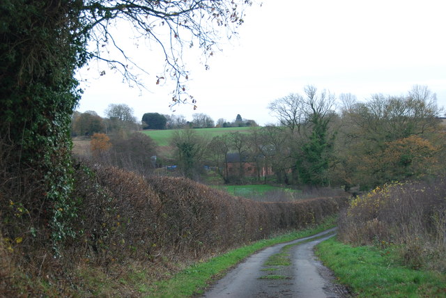
Nature enthusiasts will be delighted by the surrounding natural beauty. The village is nestled in the heart of the Staffordshire Moorlands, with rolling hills and lush green meadows providing a picturesque backdrop. The local countryside offers numerous walking trails and cycling routes, allowing residents and visitors to explore the area's idyllic landscapes.

Despite its small size, Gerrard's Bromley has a strong sense of community spirit, with various social events taking place throughout the year. The annual summer fĂȘte is a highlight, bringing together villagers and visitors for a day of traditional games, live music, and local food stalls.

For amenities, the village boasts a cozy pub, The Bromley Inn, which serves as a popular gathering spot for locals to unwind and enjoy a pint. Additionally, a small convenience store caters to the everyday needs of residents.

Gerrard's Bromley offers a peaceful and idyllic lifestyle, making it an ideal place for those seeking a rustic retreat in the heart of Staffordshire's countryside.

If you have any feedback on the listing, please let us know in the comments section below.

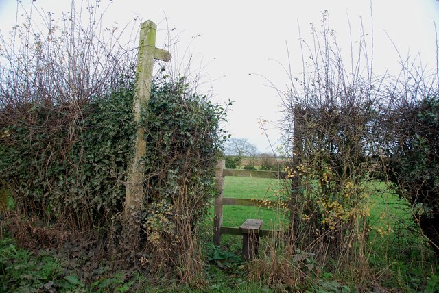
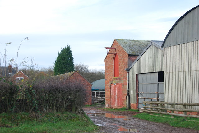
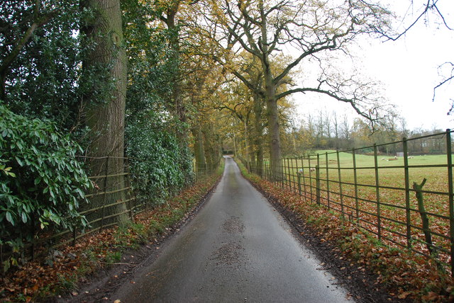
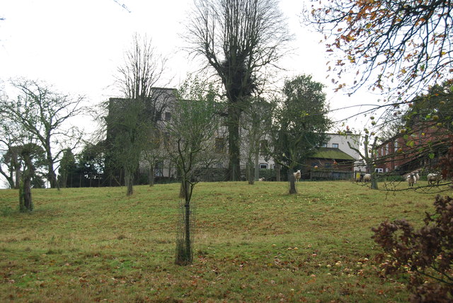
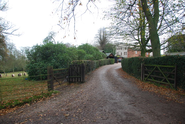
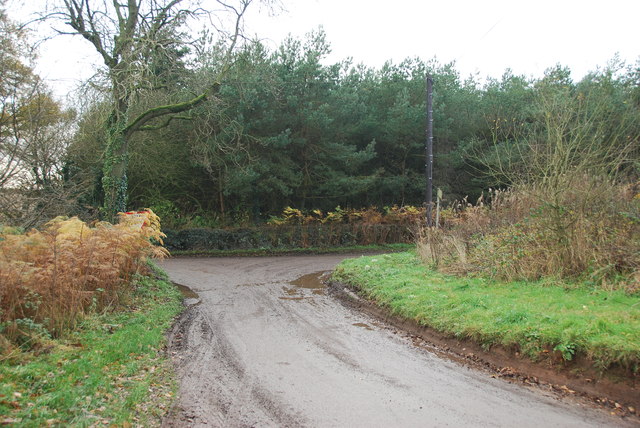
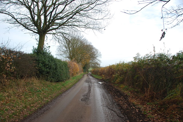
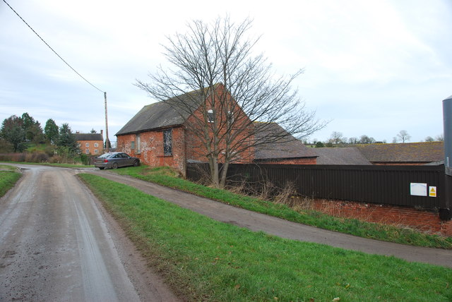
Gerrard's Bromley Images

Images are sourced within 2km of 52.910133/-2.336026 or Grid Reference SJ7734. Thanks to Geograph Open Source API. All images are credited.

Stile and footpath to Chatcull
Entrance to Charnes Old Hall farm
Road through Charnes estate This road with its metal fences and avenue of trees, gives the impression that there is large estate nearby.   see link  <span class="nowrap"><a title="http://www.britishlistedbuildings.co.uk/en-272232-charnes-hall-eccleshall" rel="nofollow ugc noopener" href="http://www.britishlistedbuildings.co.uk/en-272232-charnes-hall-eccleshall">Link</a><img style="margin-left:2px;" alt="External link" title="External link - shift click to open in new window" src="https://s1.geograph.org.uk/img/external.png" width="10" height="10"/></span>
Road through Charnes estate
This road with its metal fences and avenue of trees, gives the impression that there is large estate nearby. see link LinkExternal link
Charnes Hall, Eccleshall It is a pity that this old hall is partly covered by trees.  see link  <span class="nowrap"><a title="http://www.britishlistedbuildings.co.uk/en-272232-charnes-hall-eccleshall" rel="nofollow ugc noopener" href="http://www.britishlistedbuildings.co.uk/en-272232-charnes-hall-eccleshall">Link</a><img style="margin-left:2px;" alt="External link" title="External link - shift click to open in new window" src="https://s1.geograph.org.uk/img/external.png" width="10" height="10"/></span>
Charnes Hall, Eccleshall
It is a pity that this old hall is partly covered by trees. see link LinkExternal link
The driveway to Charnes Hall
Looking back to a road junction near the Ashley Road Plantation
Narrow roadway leading to Bromley Mill Farm
Roadway past Bromley Mill Farm I can't find any information about this mill, and mill pool, which is out of sight on the left of picture.
Roadway past Bromley Mill Farm
I can't find any information about this mill, and mill pool, which is out of sight on the left of picture.
Entrance drive to Bromley Mill Farm House
Looking down towards the Bromley Brook Ford
Bromley Brook Ford between Podmore and Chatcull Do not be fooled by this ford, it is a lot deeper than it looks.
Bromley Brook Ford between Podmore and Chatcull
Do not be fooled by this ford, it is a lot deeper than it looks.
The yard at Bromley Mill Farm Bromley Mill farmhouse can be seen beyond the yard, it is in square SJ7835.
The yard at Bromley Mill Farm
Bromley Mill farmhouse can be seen beyond the yard, it is in square SJ7835.
Longfield Cottage at Wetwood This is a charming cottage in the hamlet of Wetwood, the date on the front is 1921.
Longfield Cottage at Wetwood
This is a charming cottage in the hamlet of Wetwood, the date on the front is 1921.
Wetwood Manor, Wetwood
Chatcull Ford This stone sett ford on the Bromley Brook is found at Chatcull.
Chatcull Ford
This stone sett ford on the Bromley Brook is found at Chatcull.
Junction on Eccleshall Road, Wetwood
Garden at the entrance to Broughton Hall This is also the home for the Caudwell lyme disease charity. <span class="nowrap"><a title="https://caudwelllyme.com/" rel="nofollow ugc noopener" href="https://caudwelllyme.com/">Link</a><img style="margin-left:2px;" alt="External link" title="External link - shift click to open in new window" src="https://s1.geograph.org.uk/img/external.png" width="10" height="10"/></span>
Garden at the entrance to Broughton Hall
This is also the home for the Caudwell lyme disease charity. LinkExternal link
Eccleshall Road, Wetwood
Show me another place!

Gerrard's Bromley is located at Grid Ref: SJ7734 (Lat: 52.910133, Lng: -2.336026)

Administrative County: Staffordshire

District: Stafford

Police Authority: Staffordshire

What 3 Words

///darkens.riverbank.roadblock. Near Standon, Staffordshire

Related Wikis

Ashley, Staffordshire

Ashley is a village and former civil parish, now in the parish of Loggerheads, in the Newcastle-under-Lyme district, in the county of Staffordshire, England...

Croxton, Staffordshire

Croxton is a village on the B5026 between Eccleshall and Loggerheads. Population details for the 2011 census can be found under Eccleshall. It is notable...

Armsdale

Armsdale is a village in Staffordshire, England. Population details for the 2011 census can be found under Eccleshall.

Maer, Staffordshire

Maer is a rural village and civil parish in the Borough of Newcastle-under-Lyme, Staffordshire, England, to the west of the pottery manufacturing town...

Loggerheads, Staffordshire

Loggerheads is a village and civil parish in north-west Staffordshire, England, on the A53 between Market Drayton and Newcastle-under-Lyme. == Name... ==

Bowers, Staffordshire

Bowers is a village in Staffordshire, England. For population details as taken in the 2011 census see Standon.

Coombesdale

Coombesdale is a small settlement in Staffordshire, England. It is near the A51 road and is 6 kilometres (4 mi) southwest of the city of Stoke-on-Trent...

Maer Hall

Maer Hall is a large Grade II listed 17th-century country house in Maer, Staffordshire, set in a park which is listed Grade II in Historic England's Register...

Nearby Amenities

Located within 500m of 52.910133,-2.336026
Power: pole
Source: Bing
Lat/Long: 52.9109434/-2.3295309
Power: pole
Source: Bing
Lat/Long: 52.9121275/-2.3293968
Power: pole
Source: Bing
Lat/Long: 52.9105649/-2.3295417
Barrier: stile
Lat/Long: 52.9137193/-2.3363118
Power: pole
Lat/Long: 52.9075541/-2.3303477
Power: pole
Lat/Long: 52.9077484/-2.3316643
Power: pole
Lat/Long: 52.9079447/-2.3332074
Power: pole
Lat/Long: 52.9081539/-2.3347575
Power: pole
Lat/Long: 52.9083802/-2.3363502
Power: pole
Lat/Long: 52.9086/-2.3379357
Power: pole
Lat/Long: 52.9088177/-2.3395567
Power: pole
Lat/Long: 52.9090098/-2.3409901
Power: pole
Lat/Long: 52.9092126/-2.3424977
The data included in this document is from www.openstreetmap.org. The data is made available under ODbL.

Have you been to Gerrard's Bromley?

Leave your review of Gerrard's Bromley below (or comments, questions and feedback).