Loch Beag

Lake, Pool, Pond, Freshwater Marsh in Inverness-shire

Scotland

Loch Beag

North Harris Roads
North Harris Roads Credit: Ralph Greig

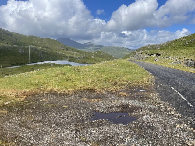
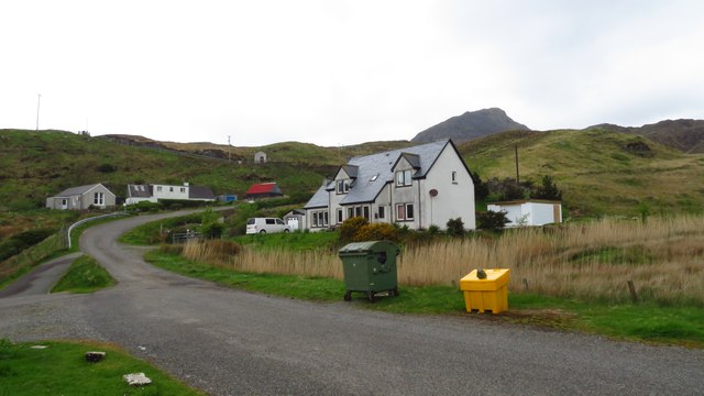
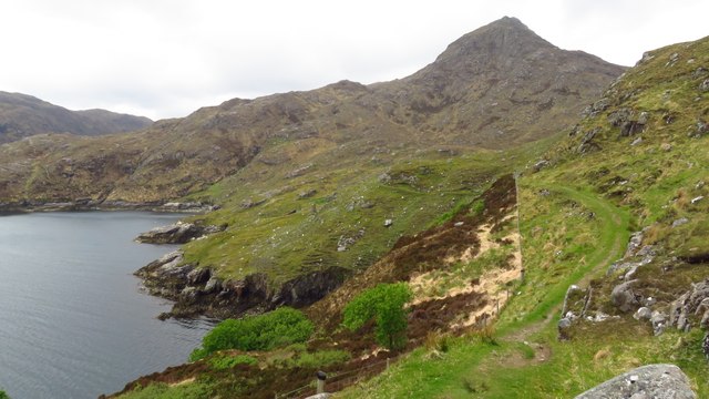
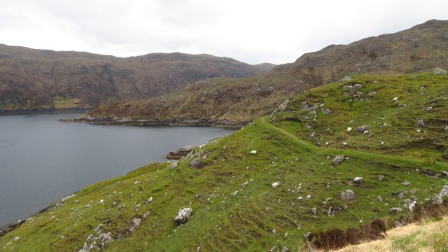
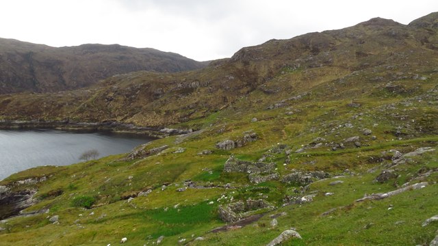
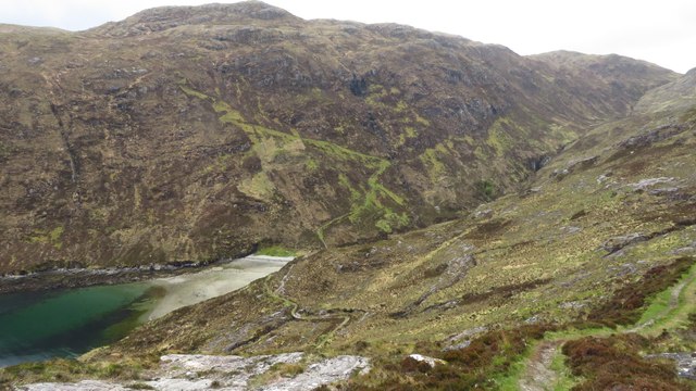
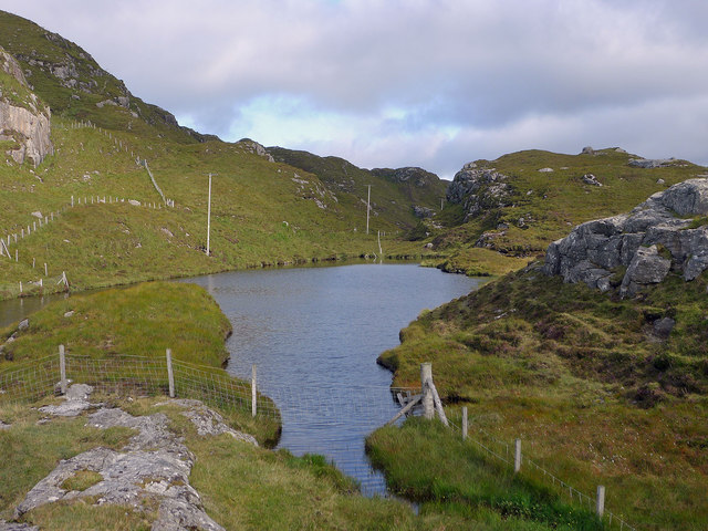
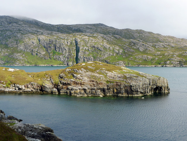
Loch Beag is a small freshwater lake located in the region of Inverness-shire, Scotland. Nestled amidst the stunning Scottish Highlands, this picturesque body of water is often referred to as a "loch" in the local dialect. Loch Beag covers an area of approximately 2 hectares and is surrounded by lush greenery, creating a tranquil and serene atmosphere.

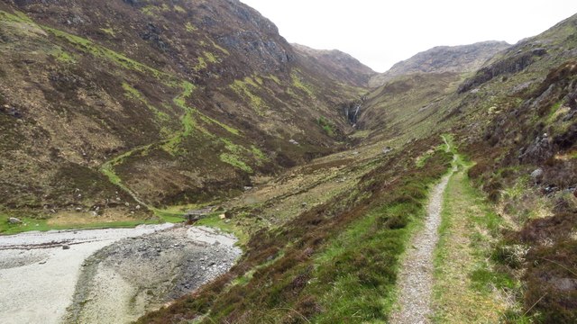
The lake is fed by several small streams and is situated at an elevation of around 200 meters above sea level. Due to its relatively small size, Loch Beag is often described as a pool or pond rather than a typical large-scale Scottish loch. The water in the lake is crystal clear and remains cool throughout the year due to the surrounding mountainous terrain.

Surrounded by a diverse range of flora and fauna, Loch Beag offers a haven for various species of freshwater marsh plants. The marshes surrounding the lake provide a rich habitat for a variety of waterfowl, including ducks and swans, as well as other bird species such as herons and kingfishers.

The scenic beauty of Loch Beag attracts nature lovers and outdoor enthusiasts, who can enjoy activities such as fishing, birdwatching, and hiking in the surrounding hills. The peaceful ambiance of this small freshwater lake makes it an ideal spot for relaxation and a perfect escape from the hustle and bustle of city life.

In conclusion, Loch Beag is a small yet captivating freshwater lake located in Inverness-shire. Its stunning natural surroundings, diverse wildlife, and tranquil atmosphere make it a must-visit destination for those exploring the Scottish Highlands.

If you have any feedback on the listing, please let us know in the comments section below.
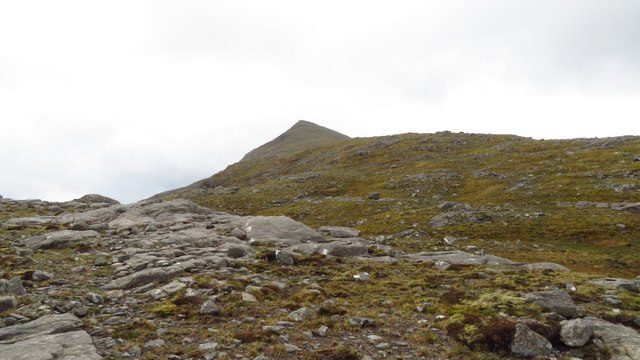
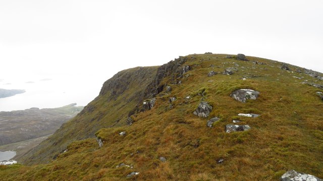
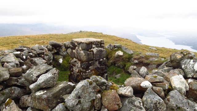
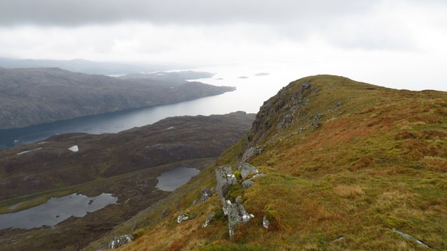
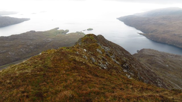
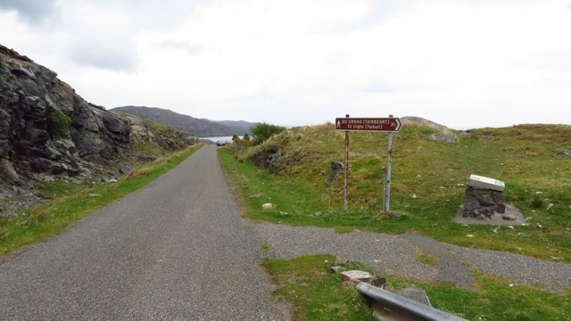
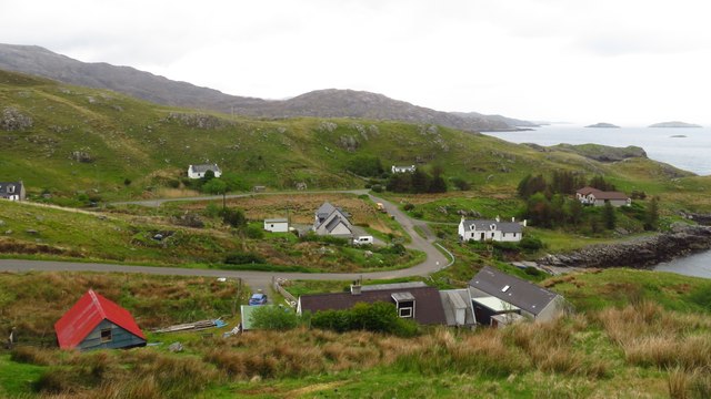
Loch Beag Images

Images are sourced within 2km of 57.927528/-6.6991371 or Grid Reference NB2102. Thanks to Geograph Open Source API. All images are credited.

North Harris Roads
North Harris Roads
Ascending across Cadhan Dubha towards Todun
View south along Todun ridge
Trig point enclosed in wall on summit of Todun
Todun ridge & view towards sea entrance of Loch Seaforth
South eastern ridge from Todun To descend from this narrow ridge it is easiest to pick your way down the  eastern side to gain the road at the outflow from Loch Beag as there is a ravine downstream from this point.
South eastern ridge from Todun
To descend from this narrow ridge it is easiest to pick your way down the eastern side to gain the road at the outflow from Loch Beag as there is a ravine downstream from this point.
Junction with Postman's Path, west of Rhenigidale
Rhenigidale, Harris
Rhenigidale, Harris
Rhenigidale, Harris
Rhenigidale, Harris
Postman's Path between Rhenigidale to Gearraidh Lotaigear
On the Postman's Path near Gearraidh Lotaigear
Abandoned settlement at Gearraidh Lotaigear
On the Postman's Path descending towards the head of Loch Trolamaraig This is a good engineered path leading west from Rhenigidale. Note the zigzag path ascending the far hillside.
On the Postman's Path descending towards the head of Loch Trolamaraig
This is a good engineered path leading west from Rhenigidale. Note the zigzag path ascending the far hillside.
Postman's Path at the foot of Gleann Trolamaraig This is a good engineered path leading west from Rhenigidale. Note the zigzag path ascending the far hillside.
Postman's Path at the foot of Gleann Trolamaraig
This is a good engineered path leading west from Rhenigidale. Note the zigzag path ascending the far hillside.
On the Postman's Path west of Loch Trolamaraig
Water source for Rhenigidale before mains water The small lake still has the pipework for delivering the water to Rhenigidale, but now the village is on the mains.
Water source for Rhenigidale before mains water
The small lake still has the pipework for delivering the water to Rhenigidale, but now the village is on the mains.
Path to the entrance to Rhenigidale Hostel Rhenigidale Hostel is owned by a charity - the Gatliff Hebridean Hostels Trust - and has been open for over 50 years.  The Gatliff Trust is affiliated to the SYHA.
Path to the entrance to Rhenigidale Hostel
Rhenigidale Hostel is owned by a charity - the Gatliff Hebridean Hostels Trust - and has been open for over 50 years. The Gatliff Trust is affiliated to the SYHA.
Rubha na h-Uamha  This headland has a cave and juts into Loch Seaforth.
Rubha na h-Uamha
This headland has a cave and juts into Loch Seaforth.
Show me another place!

Loch Beag is located at Grid Ref: NB2102 (Lat: 57.927528, Lng: -6.6991371)

Unitary Authority: Na h-Eileanan an Iar

Police Authority: Highlands and Islands

What 3 Words

///list.lavished.elevator. Near Tarbert, Na h-Eileanan Siar

Nearby Locations

Tòdun Loch Beag

Related Wikis

Rèinigeadal

Rèinigeadal (or Rhenigidale) is a small settlement in Harris, in the Western Isles in Scotland. It is situated on the east coast of Harris 8 kilometres...

Loch Seaforth

Loch Seaforth (Scottish Gaelic: Loch Shiphoirt or Shìophoirt) is a sea loch in the Outer Hebrides of Scotland. It consists of three distinct sections;...

Sgeotasaigh

Scotasay (Scottish Gaelic: Sgeotasaigh) is small island in the Outer Hebrides of Scotland. It lies 1 kilometre (0.6 miles) off the east coast of Harris...

Harris distillery

Harris distillery is a Scotch whisky and Gin distillery in Tarbert on the Isle of Harris, Scotland. The distillery was the first legal distillery ever...

Nearby Amenities

Located within 500m of 57.927528,-6.6991371
Passing Place
Lat/Long: 57.9300553/-6.6992827
Passing Place
Lat/Long: 57.9250269/-6.6957533
Passing Place
Lat/Long: 57.9242164/-6.6951265
Material: wood
Power: pole
Lat/Long: 57.9239639/-6.6941645
Material: wood
Power: pole
Lat/Long: 57.9244595/-6.6947814
Material: wood
Power: pole
Lat/Long: 57.9251133/-6.6955727
Material: wood
Power: pole
Lat/Long: 57.929942/-6.6995893
Material: wood
Power: pole
Lat/Long: 57.9292894/-6.6991402
Passing Place
Lat/Long: 57.9258781/-6.6963028
Passing Place
Lat/Long: 57.9265941/-6.6967227
Passing Place
Lat/Long: 57.9275266/-6.6974552
Passing Place
Lat/Long: 57.9291898/-6.6986957
Passing Place
Lat/Long: 57.9308891/-6.6998541
Material: wood
Power: pole
Lat/Long: 57.9283479/-6.6984541
Material: wood
Power: pole
Lat/Long: 57.9288279/-6.6988095
Material: wood
Power: pole
Lat/Long: 57.9272114/-6.6975274
Material: wood
Power: pole
Lat/Long: 57.9277982/-6.6980209
Material: wood
Power: pole
Lat/Long: 57.9305361/-6.6994599
Material: wood
Power: pole
Lat/Long: 57.9316184/-6.6999655
Material: wood
Power: pole
Lat/Long: 57.9310823/-6.6997201
Material: wood
Power: pole
Lat/Long: 57.9254675/-6.6959896
Material: wood
Power: pole
Lat/Long: 57.9267266/-6.6965582
Material: wood
Power: pole
Lat/Long: 57.9261526/-6.696341
Height: 4
Man Made: mast
Tower Construction: mast
Tower Type: communication
Lat/Long: 57.9299809/-6.6994121
The data included in this document is from www.openstreetmap.org. The data is made available under ODbL.

Have you been to Loch Beag?

Leave your review of Loch Beag below (or comments, questions and feedback).