Loch na Buaile Bige
Lake, Pool, Pond, Freshwater Marsh in Ross-shire
Scotland
Loch na Buaile Bige
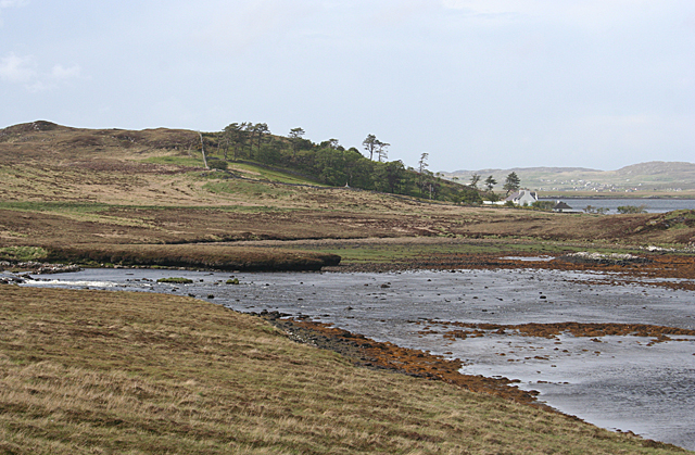
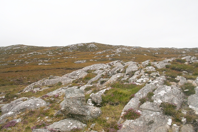
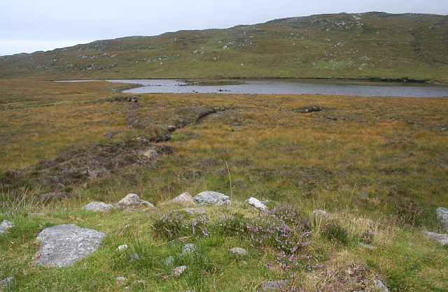
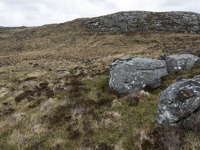
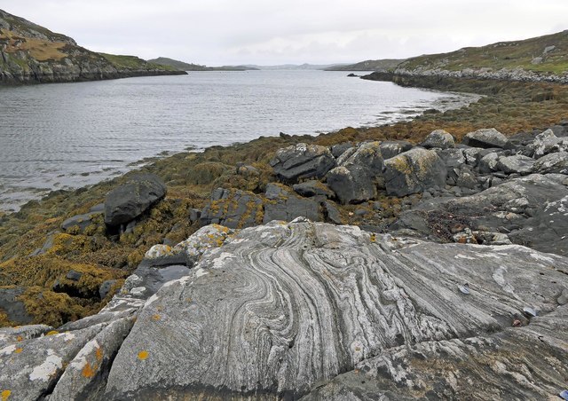
Loch na Buaile Bige is a small freshwater lake located in Ross-shire, Scotland. It is situated within a picturesque landscape, surrounded by rolling hills and lush greenery. The Loch spans an area of approximately 10 acres and has a maximum depth of around 20 feet.
The lake is known for its crystal-clear waters, which are fed by natural springs and rainfall. This pristine environment supports a wide variety of flora and fauna, making it a haven for wildlife enthusiasts and nature lovers. The surrounding area is home to numerous species of birds, including mallards, swans, and various types of waterfowl.
The lake also serves as a habitat for several species of fish, such as brown trout and perch. Anglers often frequent Loch na Buaile Bige, as it provides an excellent opportunity for fishing. Fishing enthusiasts can enjoy the peaceful solitude of the lake while trying their luck at catching these freshwater species.
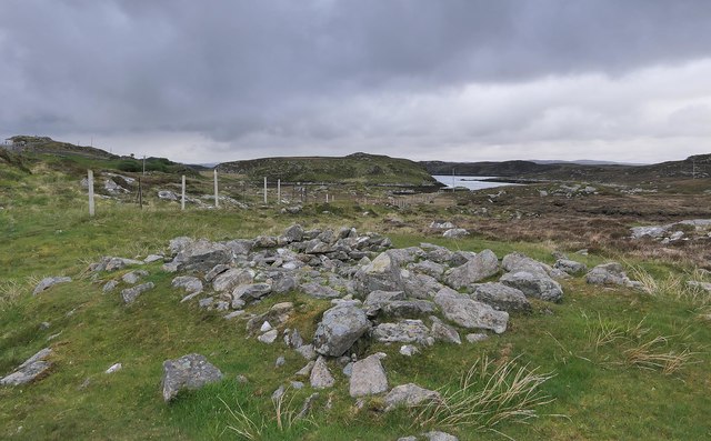
Additionally, the lake is surrounded by a freshwater marsh, which adds to the ecological diversity of the area. The marshland is home to an array of plant species, including reeds, rushes, and water lilies. This wetland environment provides a vital habitat for numerous insects, amphibians, and small mammals.
Overall, Loch na Buaile Bige offers visitors a tranquil and idyllic setting to explore and appreciate the wonders of nature. Whether it is fishing, birdwatching, or simply enjoying the serene beauty of the surroundings, this small lake in Ross-shire is a hidden gem waiting to be discovered.
If you have any feedback on the listing, please let us know in the comments section below.
Loch na Buaile Bige Images
Images are sourced within 2km of 58.179286/-6.7636455 or Grid Reference NB2031. Thanks to Geograph Open Source API. All images are credited.


Loch na Buaile Bige is located at Grid Ref: NB2031 (Lat: 58.179286, Lng: -6.7636455)
Unitary Authority: Na h-Eileanan an Iar
Police Authority: Highlands and Islands
What 3 Words
///prompting.outboard.clearly. Near Carloway, Na h-Eileanan Siar
Nearby Locations
Related Wikis

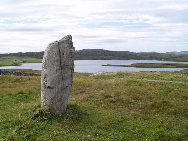
Callanish Stones
The Callanish Stones (or "Callanish I": Scottish Gaelic: Clachan Chalanais or Tursachan Chalanais) are an arrangement of standing stones placed in a cruciform...

Eilean Chearstaidh
Eilean Kearstay (Scottish Gaelic: Eilean Chearstaigh) is an uninhabited island in Loch Roag in the Outer Hebrides of Scotland. It lies south east of Great...

Callanish II
The Callanish II stone circle (Scottish Gaelic: Cnoc Ceann a' Gharaidh) is one of many megalithic structures around the better-known (and larger) Calanais...

Callanish
Callanish (Scottish Gaelic: Calanais) is a village (township) on the west side of the Isle of Lewis, in the Outer Hebrides (Western Isles), Scotland. Callanish...
Have you been to Loch na Buaile Bige?
Leave your review of Loch na Buaile Bige below (or comments, questions and feedback).