Loch nan Learg

Lake, Pool, Pond, Freshwater Marsh in Inverness-shire

Scotland

Loch nan Learg

Hill of Lewis
Hill of Lewis Credit: Ralph Greig

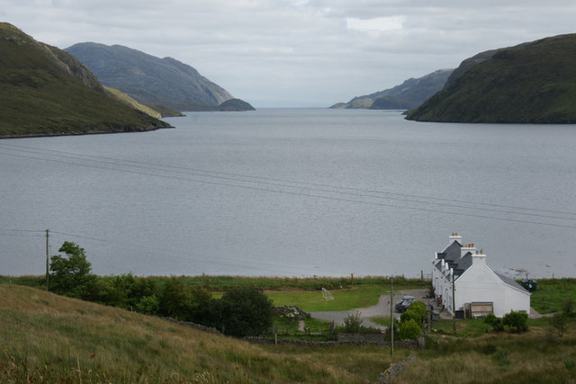
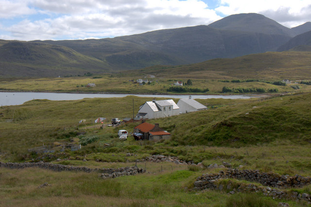
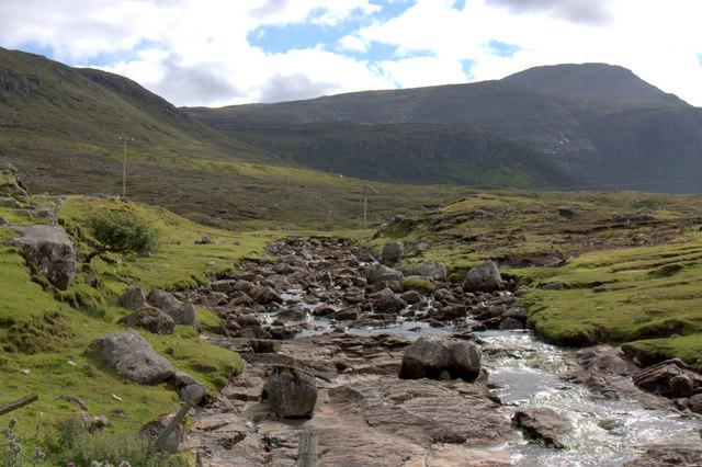
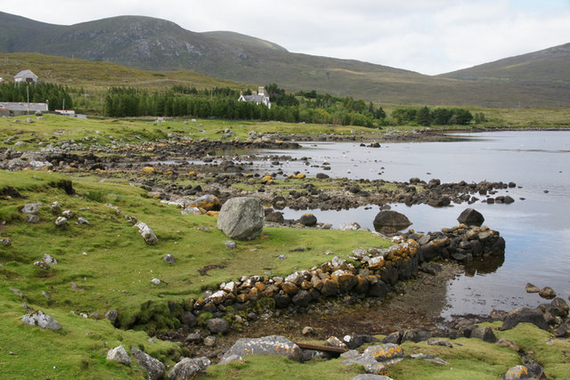
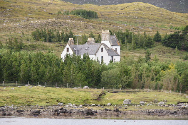
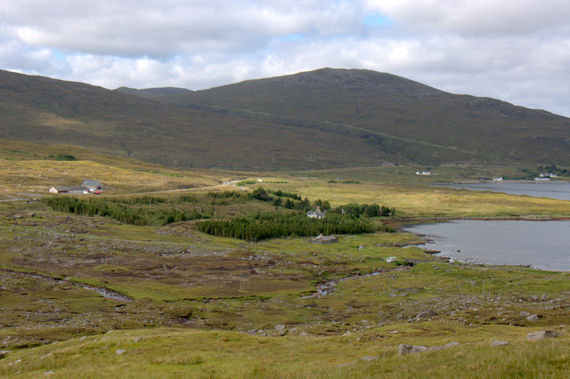
Loch nan Learg is a freshwater loch located in Inverness-shire, Scotland. Situated in the picturesque Highland region, it is nestled amidst the stunning natural beauty of the surrounding landscape. The loch is also referred to as a pool or pond due to its relatively small size.

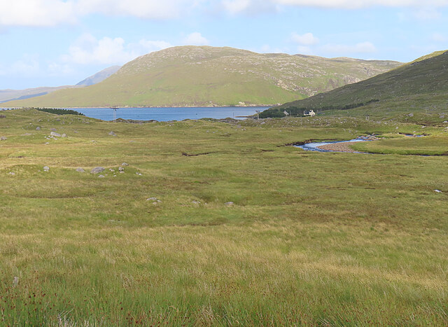
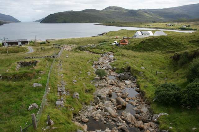
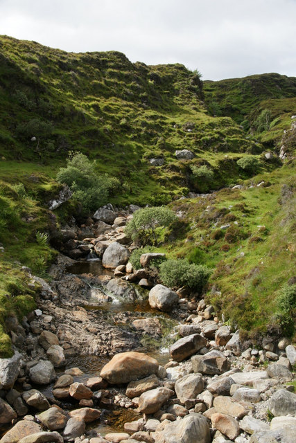
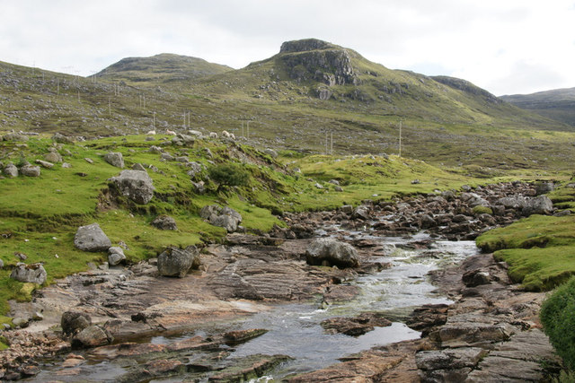
Covering an area of approximately 10 acres, Loch nan Learg boasts crystal-clear waters, reflecting the vibrant hues of the surrounding flora and fauna. It is fed by small streams and springs that flow from the nearby hills, ensuring a constant supply of fresh water. The loch's depth varies across its surface, with some areas reaching depths of up to 15 meters.

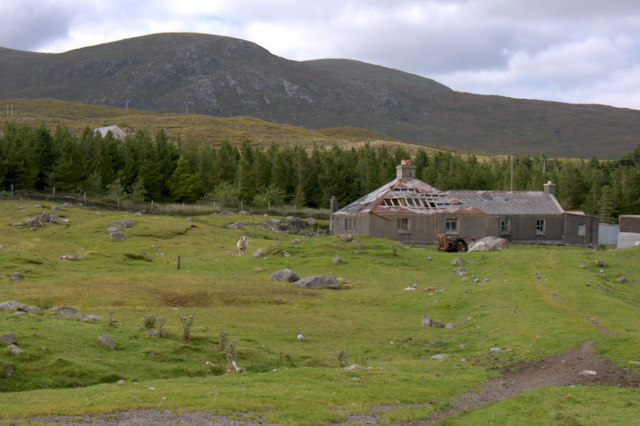
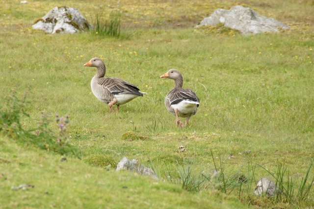
Surrounded by lush greenery and rolling hills, Loch nan Learg is a haven for wildlife and a popular destination for nature enthusiasts. The loch is home to a variety of fish species, including brown trout and perch, making it a favored spot for anglers. Birdwatchers will also be delighted by the presence of numerous waterfowl, such as ducks and swans, as well as wading birds like herons and curlews.

Visitors can enjoy walks along the loch's shores, taking in the tranquil ambiance and capturing breathtaking views of the surrounding landscape. Additionally, the area around Loch nan Learg is dotted with freshwater marshes, adding a unique ecological element to the scenery.

Overall, Loch nan Learg offers a serene and idyllic setting for those seeking a peaceful retreat amidst the natural beauty of Inverness-shire.

If you have any feedback on the listing, please let us know in the comments section below.

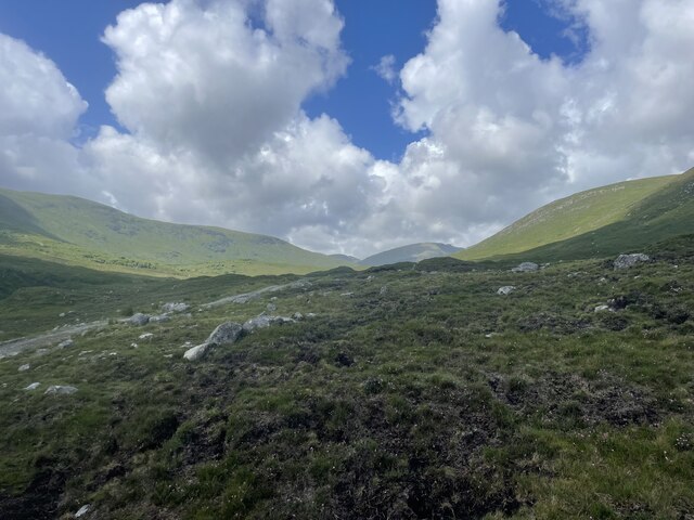
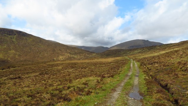
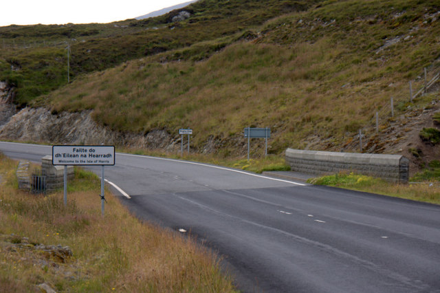
Loch nan Learg Images

Images are sourced within 2km of 57.997216/-6.7718815 or Grid Reference NB1810. Thanks to Geograph Open Source API. All images are credited.

Hill of Lewis
Hill of Lewis
Mountain trail
Mountain trail
Scaladale The river winds its waythrough wet grassland to Scaladale, on the sea shore at Bàgh Àird a' Mhulaidh.
Scaladale
The river winds its waythrough wet grassland to Scaladale, on the sea shore at Bàgh Àird a' Mhulaidh.
Track leading west towards Bealach na h-Uamha from Bowglass
Welcome to the Isle of Harris The slightly random border between the Isle of Lewis (formerly in the county of Ross & Cromarty) and the Isle of Harris (formerly in Inverness-shire).
Welcome to the Isle of Harris
The slightly random border between the Isle of Lewis (formerly in the county of Ross & Cromarty) and the Isle of Harris (formerly in Inverness-shire).
View down Loch Seaforth (Loch Siophort) from Mulhagery
Abhainn a' Mhuil at Mulhagery On the left is Lewis and on the right is Harris.
Abhainn a' Mhuil at Mulhagery
On the left is Lewis and on the right is Harris.
Abhainn a' Mhuil at Mulhagery Looking upstream along the burn that forms the boundary between Harris and Lewis.
Abhainn a' Mhuil at Mulhagery
Looking upstream along the burn that forms the boundary between Harris and Lewis.
Houses at Mulhagery Looking towards An Cliseam.
Houses at Mulhagery
Looking towards An Cliseam.
Ruined house at Scaladale
Greylag Geese (Anser anser), Scaladale In the mid 20th century the Outer Hebrides were the last refuge of native geese in Britain, but numbers, from various sources, are much larger these days.
Greylag Geese (Anser anser), Scaladale
In the mid 20th century the Outer Hebrides were the last refuge of native geese in Britain, but numbers, from various sources, are much larger these days.
Yacht in Loch Seaforth (Siophort) off Scaladale
Abhainn Sgaladail at Scaladale Looking towards the crag of Caisteal Ard.
Abhainn Sgaladail at Scaladale
Looking towards the crag of Caisteal Ard.
Abhainn Sgaladail at Scaladale Looking towards An Cliseam.
Abhainn Sgaladail at Scaladale
Looking towards An Cliseam.
Bagh Aird a' Mhulaidh at Scaladale Looking towards Ardvourlie Castle.
Bagh Aird a' Mhulaidh at Scaladale
Looking towards Ardvourlie Castle.
Ardvourlie Castle from Scaladale
Pier at Scaladale The hill of Beinn a' Mhuil is in the background, with the valley to the left marking the border between Harris and Lewis.
Pier at Scaladale
The hill of Beinn a' Mhuil is in the background, with the valley to the left marking the border between Harris and Lewis.
Aird a' Mhulaidh View of Ardvourlie Castle and its environs from the road above Scaladale.
Aird a' Mhulaidh
View of Ardvourlie Castle and its environs from the road above Scaladale.
Show me another place!

Loch nan Learg is located at Grid Ref: NB1810 (Lat: 57.997216, Lng: -6.7718815)

Unitary Authority: Na h-Eileanan an Iar

Police Authority: Highlands and Islands

What 3 Words

///scout.regard.landlords. Near Tarbert, Na h-Eileanan Siar

Related Wikis

Ardvourlie Castle

Ardvourlie Castle is a 19th-century country house on Harris, one of the Western Isles off the north-west coast of Scotland. The house was built beside...

Seaforth Island

Seaforth Island (Scottish Gaelic: Eilean Shìphoirt/Shìophoirt or Mulag) is an uninhabited island in the Outer Hebrides of Scotland. Unlike many other...

Loch Seaforth

Loch Seaforth (Scottish Gaelic: Loch Shiphoirt or Shìophoirt) is a sea loch in the Outer Hebrides of Scotland. It consists of three distinct sections;...

Uisgneabhal Mor

Uisgnabhal Mor (729 m) is a mountain in Harris, in the Outer Hebrides of Scotland. A complex mountain of several ridges and summits, it lies in the centre...

Nearby Amenities

Located within 500m of 57.997216,-6.7718815
Power: pole
Lat/Long: 57.9998083/-6.7656402
Power: pole
Lat/Long: 57.9991955/-6.7655821
Power: pole
Lat/Long: 57.9972123/-6.7653445
Power: pole
Lat/Long: 57.9962089/-6.7652385
Power: pole
Lat/Long: 57.9952855/-6.7651981
Turning Circle
Lat/Long: 57.9972861/-6.7664712
Power: pole
Lat/Long: 57.9988649/-6.7655425
Power: pole
Lat/Long: 57.9981863/-6.7654612
The data included in this document is from www.openstreetmap.org. The data is made available under ODbL.

Have you been to Loch nan Learg?

Leave your review of Loch nan Learg below (or comments, questions and feedback).