Loch Uidh nam Flagannan
Lake, Pool, Pond, Freshwater Marsh in Ross-shire
Scotland
Loch Uidh nam Flagannan
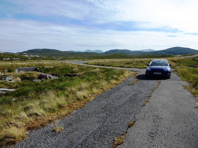
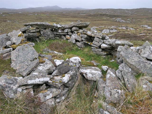
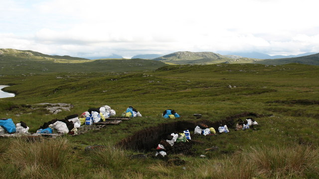
![Ben Mohal [Beinn Mothal] Cairn Second HuMP of four today with Michael Earnshaw, Jim Bloomer and Martin Richardson in mixed weather. This is the cairn at the alternative summit.
Name: Ben Mohal [Beinn Mothal]
Hill number: 4944
Height: 207m / 679ft
Area: 24A: Lewis and Nearby Islands
Class: Hu,2
Grid ref: NB176240 (est)
Drop: 129m
Col: 78m NB168236](https://s1.geograph.org.uk/geophotos/03/69/37/3693745_84757201.jpg)
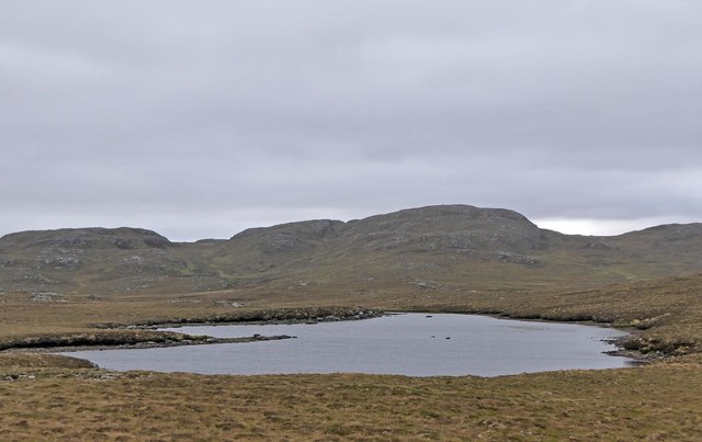
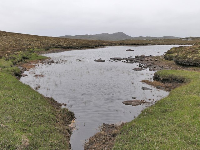
Loch Uidh nam Flagannan, located in Ross-shire, Scotland, is a picturesque freshwater loch surrounded by lush vegetation and rolling hills. Also known as the Loch of the Flags, it is a popular destination for nature enthusiasts and those seeking tranquility amidst beautiful surroundings.
Stretching over an area of approximately 5 hectares, Loch Uidh nam Flagannan is characterized by its calm and crystal-clear waters. The loch is fed by natural springs and small streams, ensuring a constant flow of freshwater. Its depth varies, with the deepest parts reaching around 10 meters. The lake's shoreline is adorned with a diverse array of vegetation, including reeds, rushes, and various aquatic plants, creating a thriving ecosystem for numerous species of flora and fauna.
The loch is home to a rich variety of wildlife. Birdwatchers will be delighted by the presence of various waterfowl species, such as ducks, swans, and geese, that can be spotted gracefully gliding across the tranquil waters. The surrounding marshes provide an ideal habitat for wetland birds, including waders and herons.
For those who enjoy outdoor activities, Loch Uidh nam Flagannan offers opportunities for fishing and boating. Anglers can try their luck at catching brown trout, which thrives in the loch's nutrient-rich waters. The calm and serene ambiance of the loch also makes it a perfect spot for a leisurely paddle or row, allowing visitors to fully immerse themselves in the natural beauty of the area.
Overall, Loch Uidh nam Flagannan is a hidden gem in the Scottish Highlands, offering a peaceful retreat for nature lovers and a chance to appreciate the beauty of Scotland's freshwater ecosystems.
If you have any feedback on the listing, please let us know in the comments section below.
Loch Uidh nam Flagannan Images
Images are sourced within 2km of 58.13178/-6.7936291 or Grid Reference NB1725. Thanks to Geograph Open Source API. All images are credited.
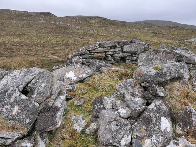
![Ben Mohal [Beinn Mothal] Looking from the alternative top cairn back towards the 207 metre spot height.
Name: Ben Mohal [Beinn Mothal]
Hill number: 4944
Height: 207m / 679ft
Area: 24A: Lewis and Nearby Islands
Class: Hu,2
Grid ref: NB176240 (est)
Drop: 129m
Col: 78m NB168236](https://s3.geograph.org.uk/geophotos/03/69/37/3693751_2745a451.jpg)
![Ben Mohal [Beinn Mothal] Summit Second HuMP of four today with Michael Earnshaw, Jim Bloomer and Martin Richardson in mixed weather. View of the 207 metre spot height towards the cairn.
Name: Ben Mohal [Beinn Mothal]
Hill number: 4944
Height: 207m / 679ft
Area: 24A: Lewis and Nearby Islands
Class: Hu,2
Grid ref: NB176240 (est)
Drop: 129m
Col: 78m NB168236](https://s1.geograph.org.uk/geophotos/03/69/37/3693757_f0c1ec6a.jpg)
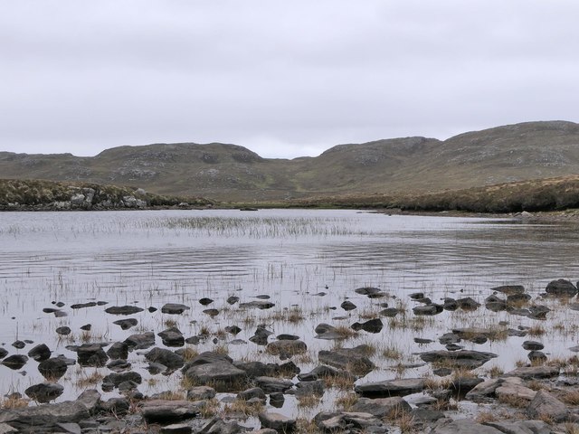
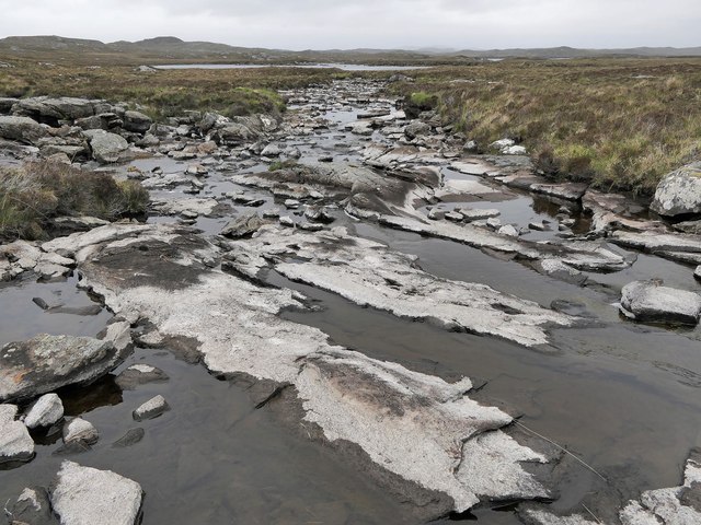
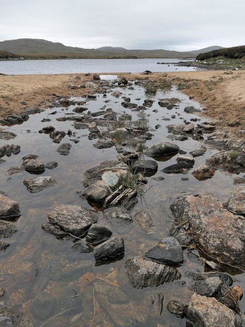
![A very odd lochan. There&#039;s nothing particularly unusual about this tiny, unnamed lochan close to the B8011, but maybe the cartographer made a mistake? The map shows a black outline around the loch, indicating [usually] tidal water, but it would seem unusual for the tide to reach 75 metres above its normal level.](https://s0.geograph.org.uk/photos/50/98/509888_3e14e61f.jpg)
Loch Uidh nam Flagannan is located at Grid Ref: NB1725 (Lat: 58.13178, Lng: -6.7936291)
Unitary Authority: Na h-Eileanan an Iar
Police Authority: Highlands and Islands
What 3 Words
///wriggled.completed.petrified. Near Carloway, Na h-Eileanan Siar
Nearby Locations
Related Wikis

Gisla Hydro-Electric Scheme
Gisla Hydro-Electric Scheme was a small scheme promoted by the North of Scotland Hydro-Electric Board on the Isle of Lewis, Outer Hebrides, Scotland. It...

Eilean Mòr, Loch Langavat
Eilean Mòr is an island in Loch Langavat on the Isle of Lewis in the Outer Hebrides of Scotland. == Footnotes ==

Callanish IV
The Callanish IV stone circle (Scottish Gaelic: Ceann Hulavig) is one of many megalithic structures around the better-known (and larger) Calanais I on...

Eilean Chearstaidh
Eilean Kearstay (Scottish Gaelic: Eilean Chearstaigh) is an uninhabited island in Loch Roag in the Outer Hebrides of Scotland. It lies south east of Great...
Have you been to Loch Uidh nam Flagannan?
Leave your review of Loch Uidh nam Flagannan below (or comments, questions and feedback).